
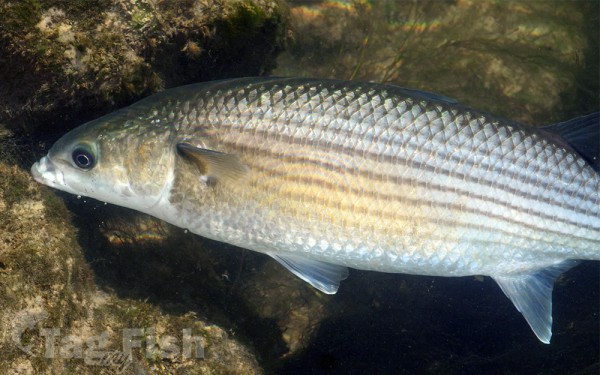
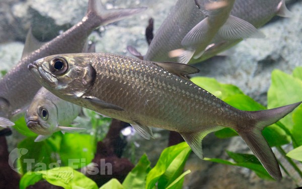
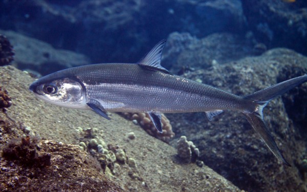
Mugiliformes - Mullets
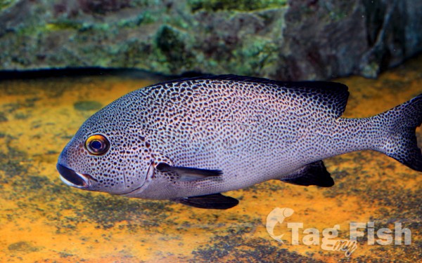
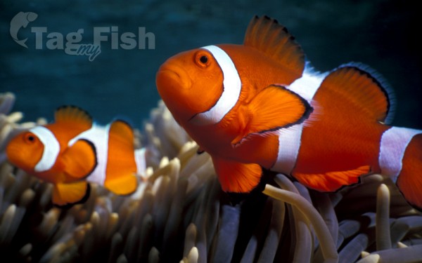
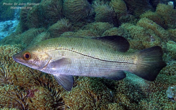
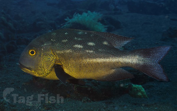
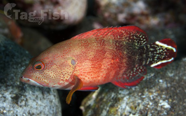
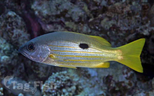
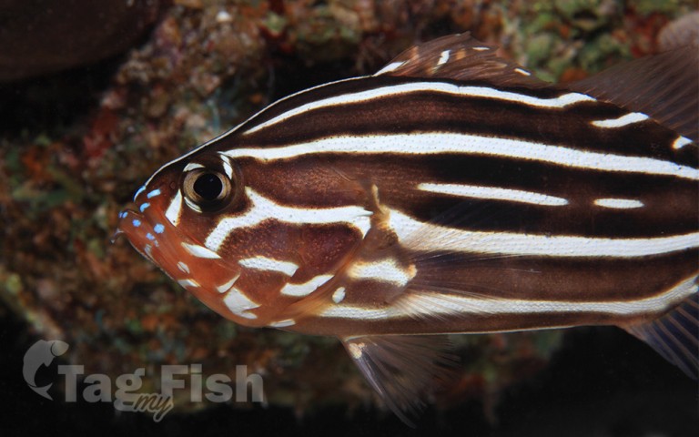
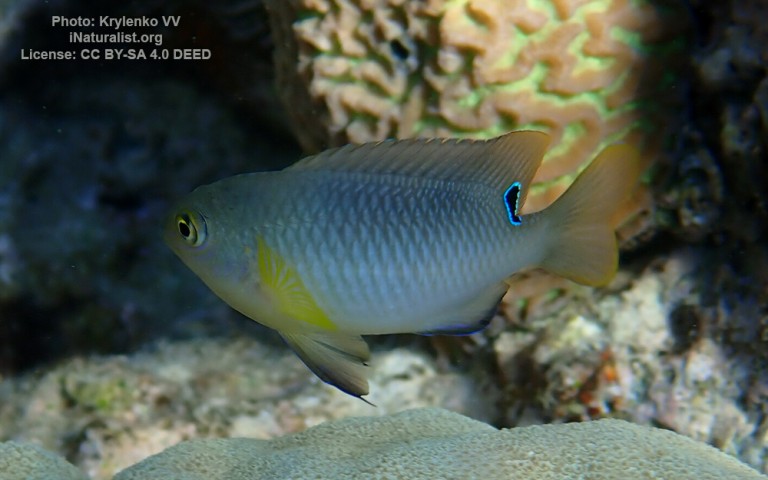
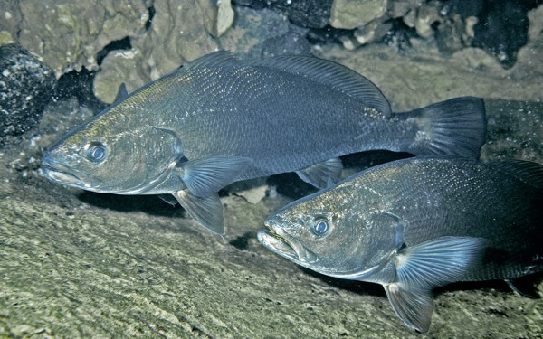
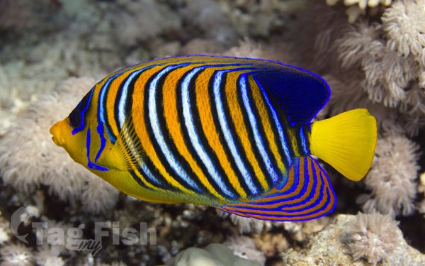
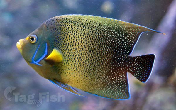
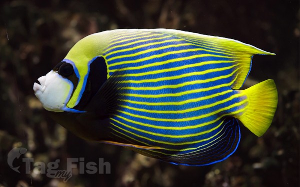
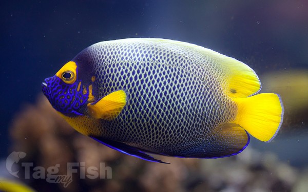
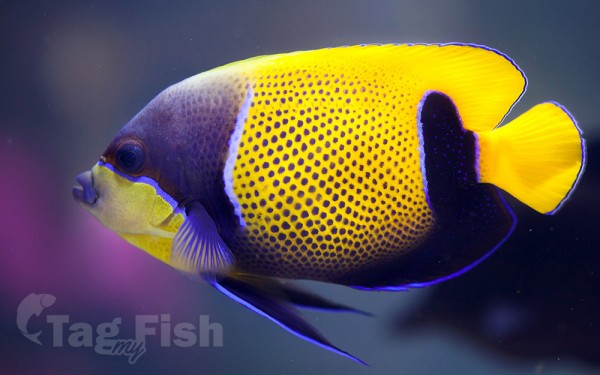
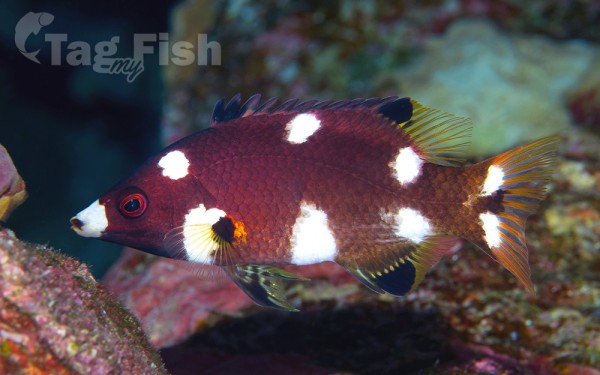
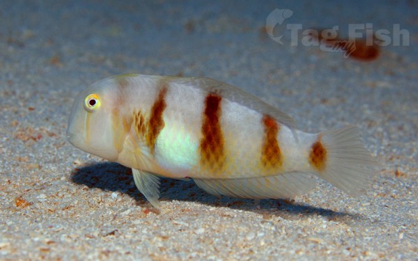
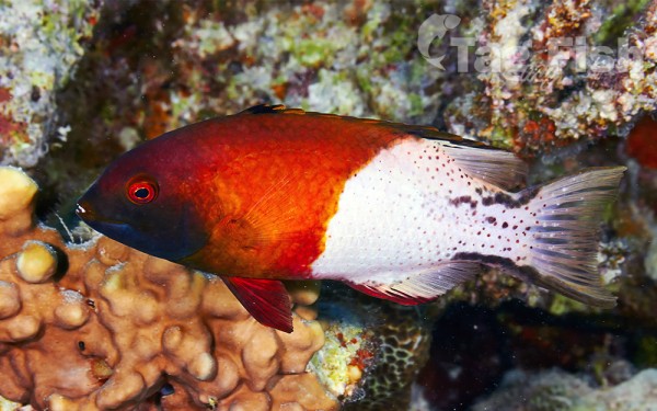
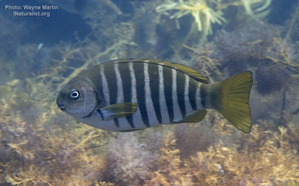
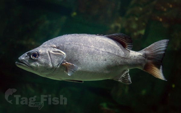
Perciformes - Perches


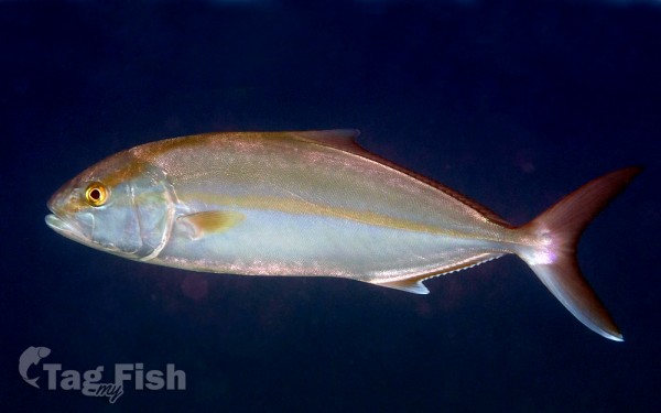
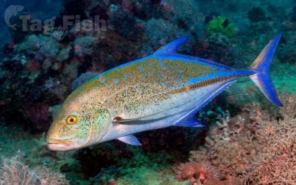
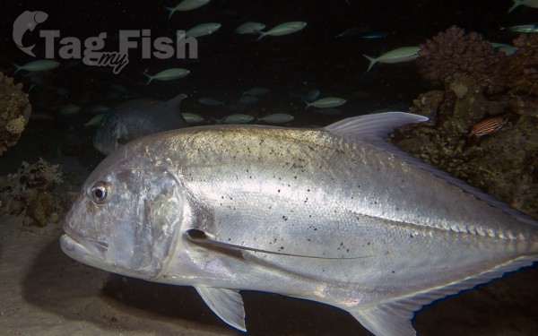
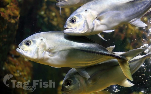
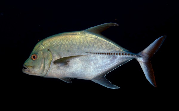
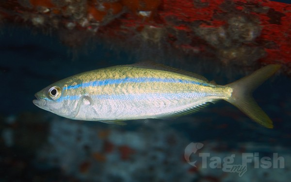
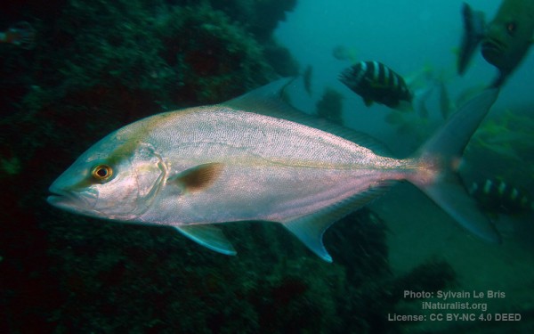
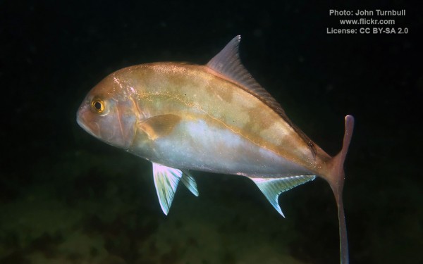
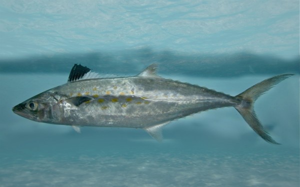
Carangiformes - Jacks
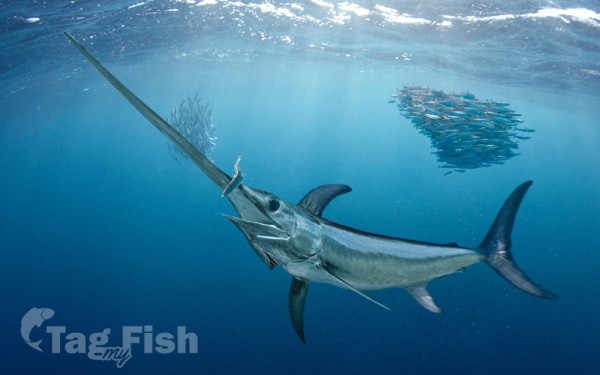
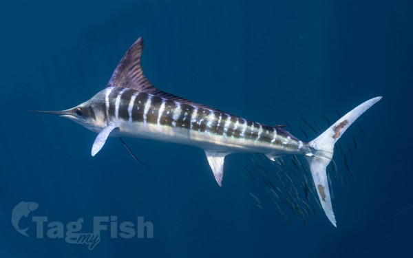
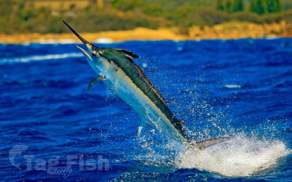
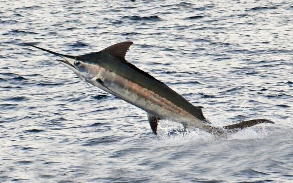
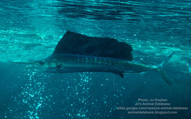
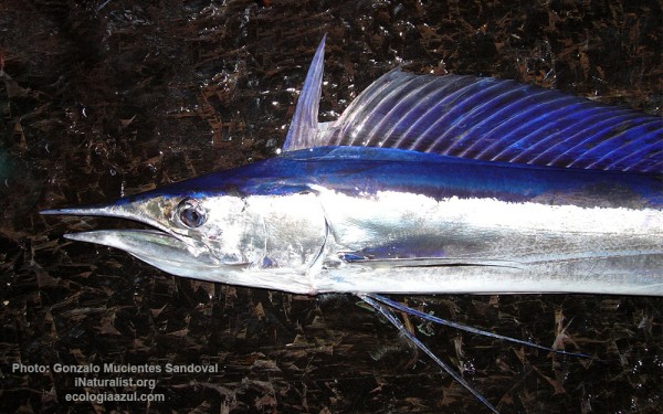
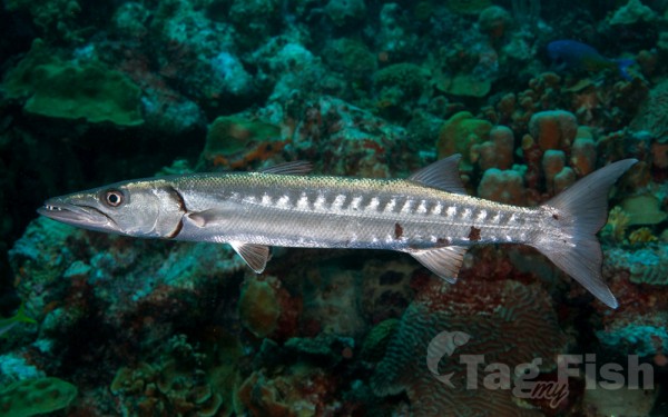
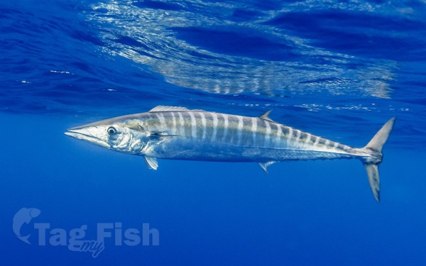
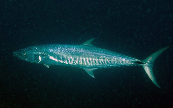
Istiophoriformes - Barracudas
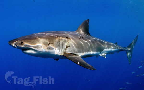
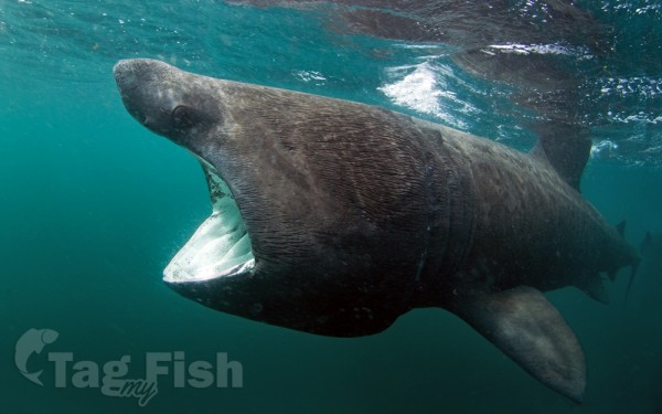
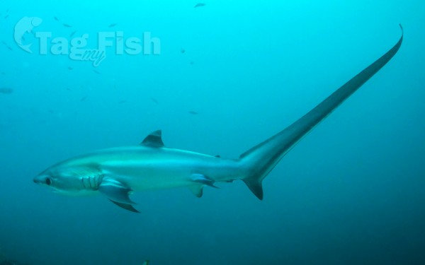
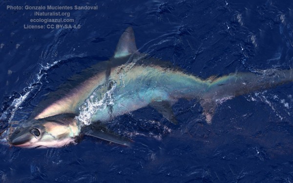
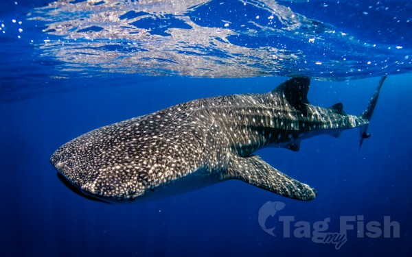
Lamniformes - Mackerel sharks
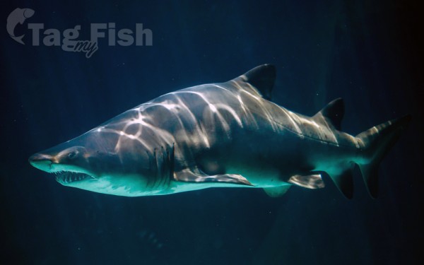
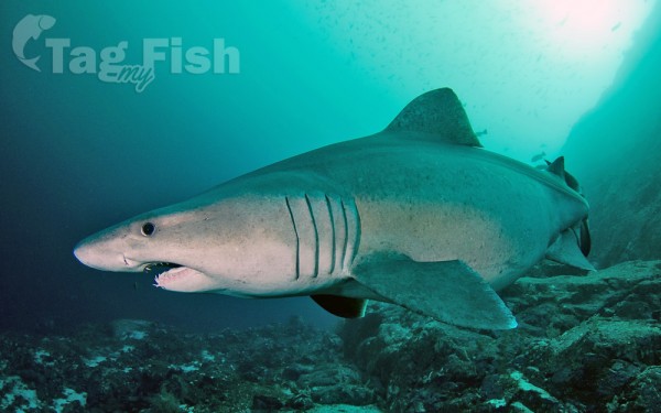
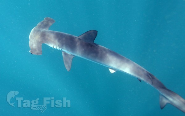
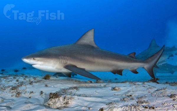
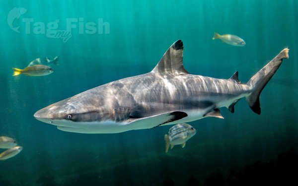
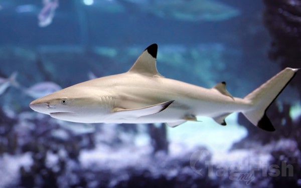
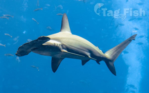
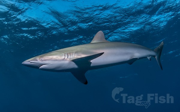
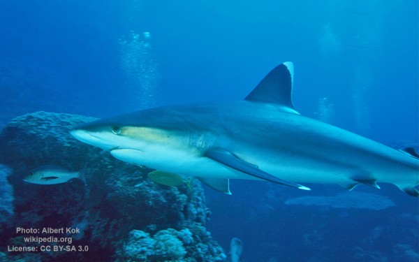
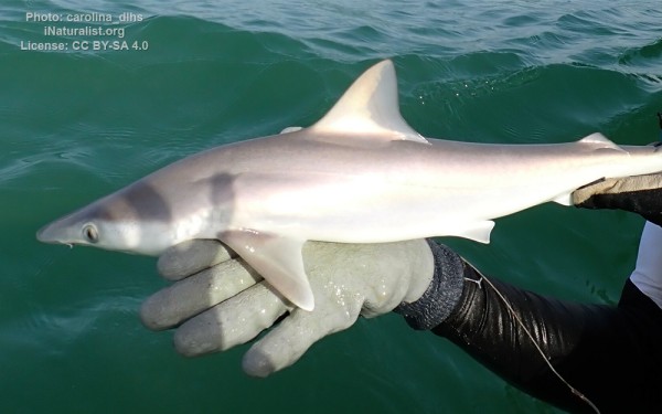
Carcharhiniformes - Ground sharks
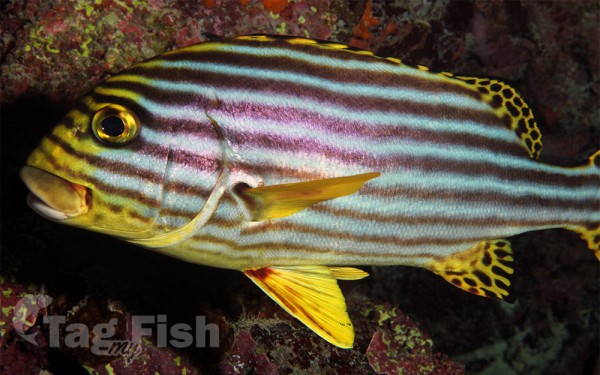
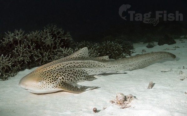
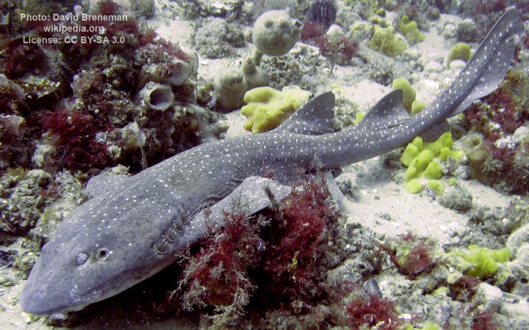
Orectolobiformes - Carpet shark
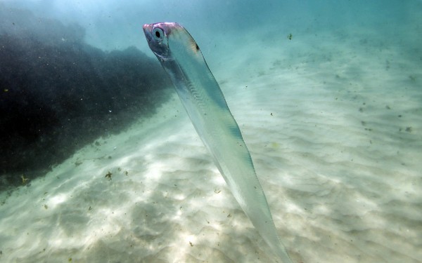
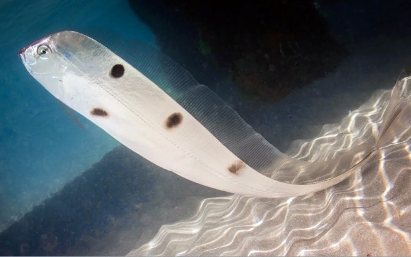
Elopiformes - Tarpons and tenpounders
Squatiniformes - Angelsharks
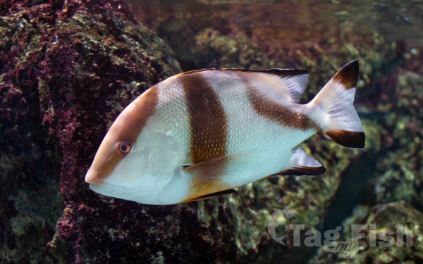
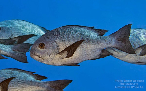
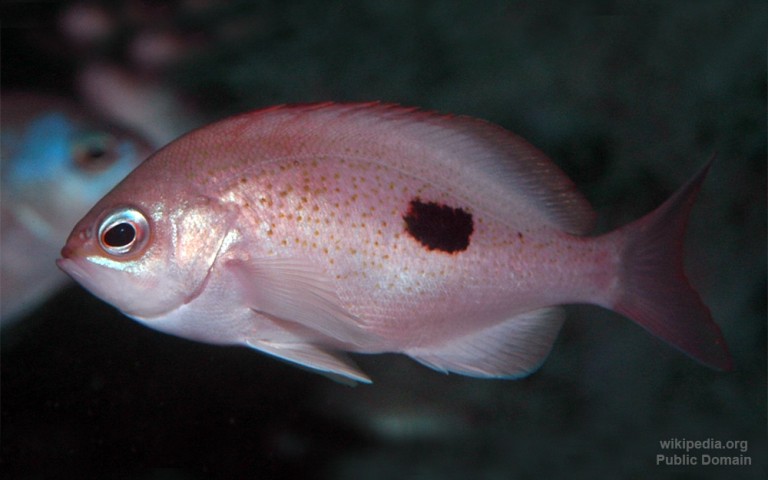
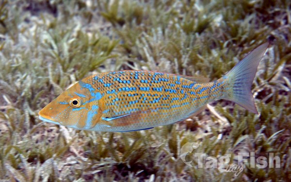
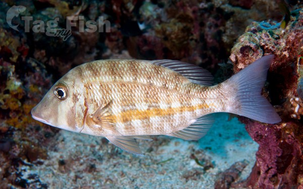
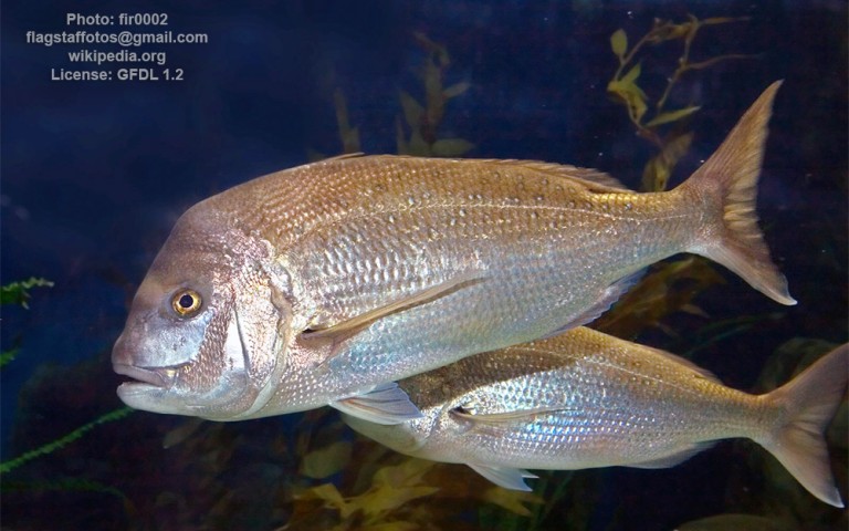
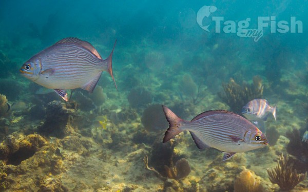
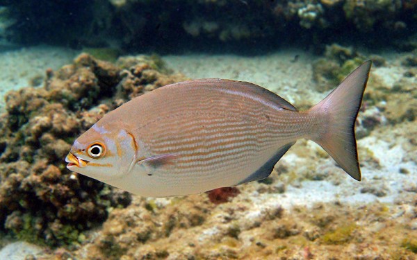
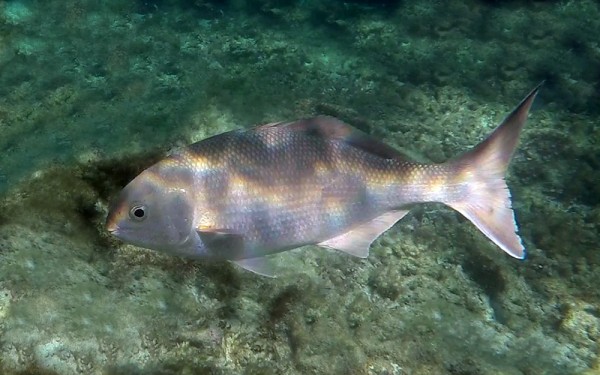
Spariformes - Breams and porgies

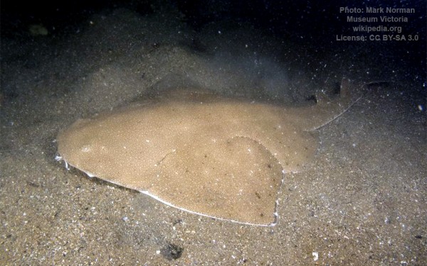
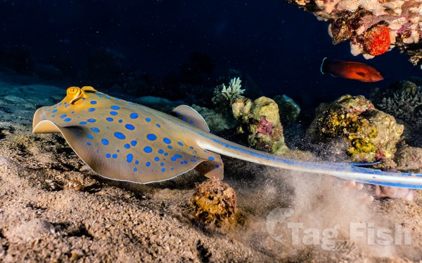
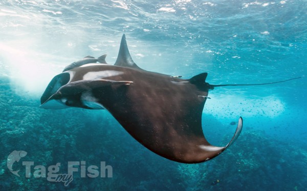
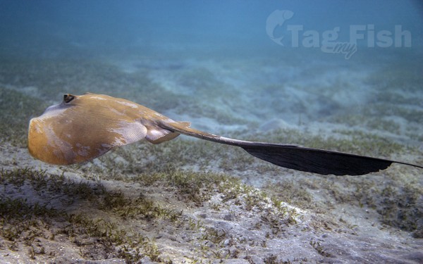
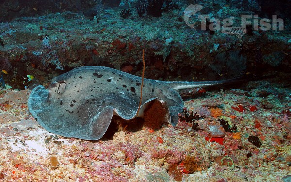
Myliobatiformes - Stingrays
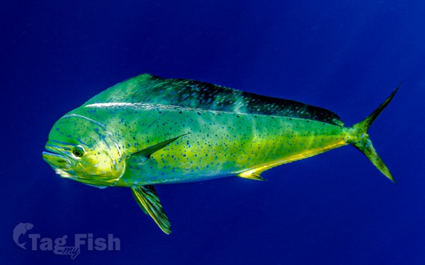
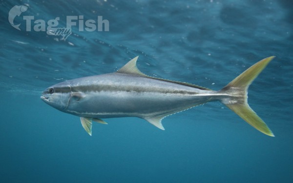
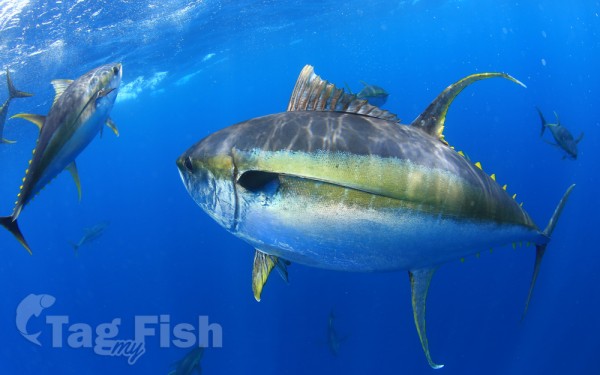
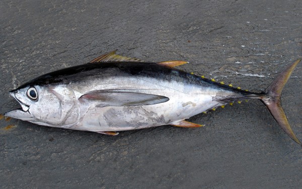
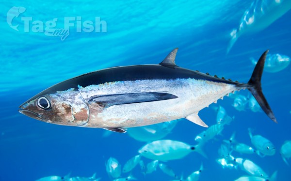
Scombriformes - Mackerels
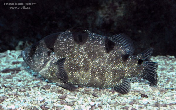
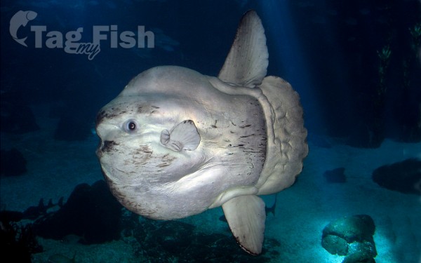
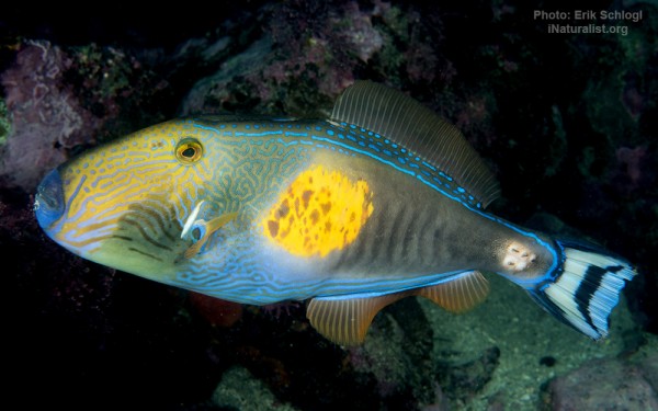
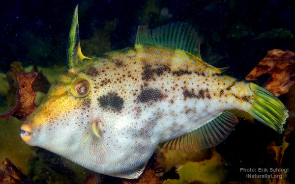
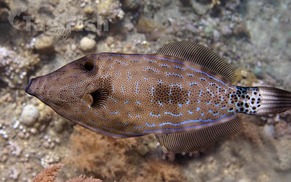
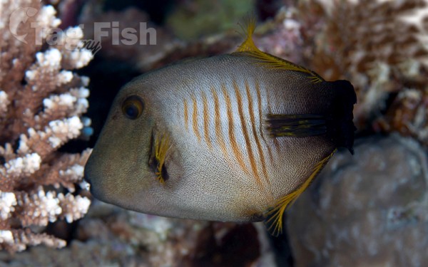
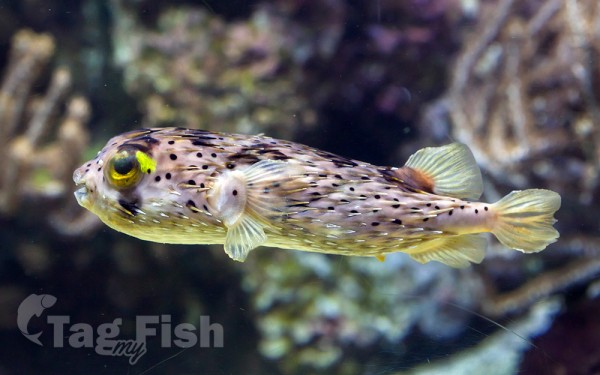
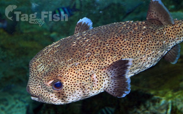
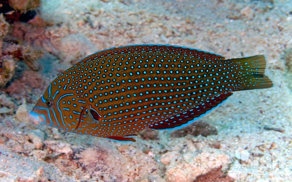
Tetraodontiformes - Puffers and filefishes
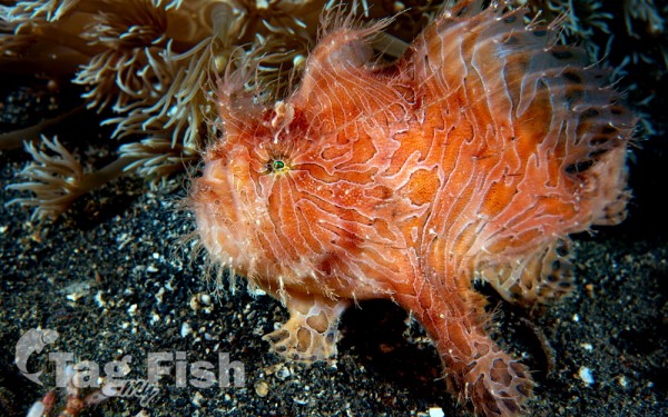
Lophiiformes - Anglerfishes
Lampriformes - Lamprids
Squaliformes - Sleeper and dogfish sharks

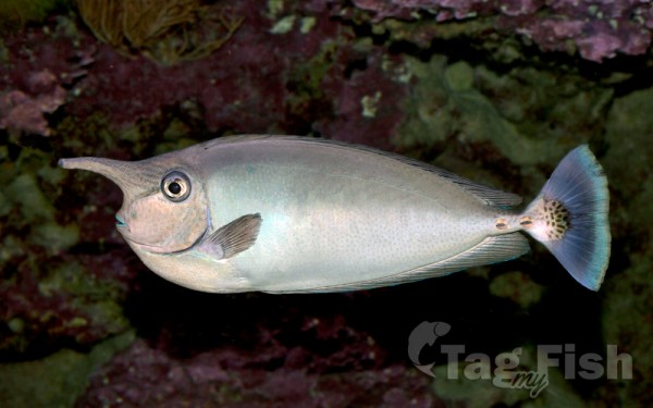
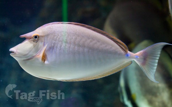
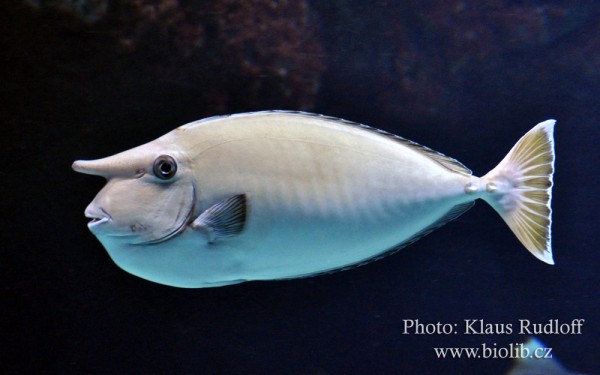
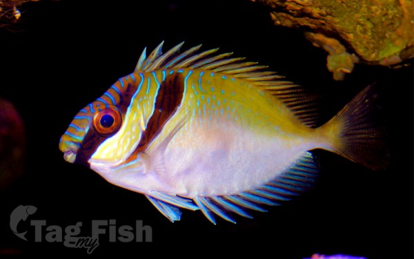
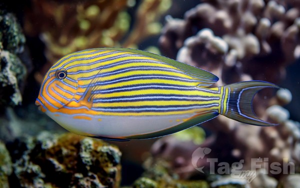
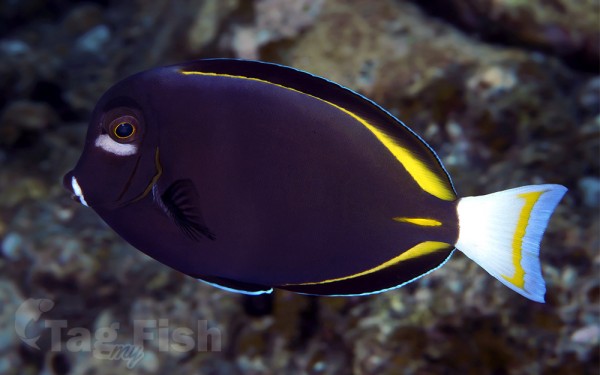
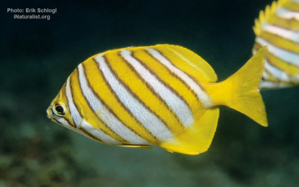
Acanthuriformes - Surgeonfishes

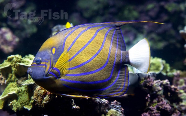


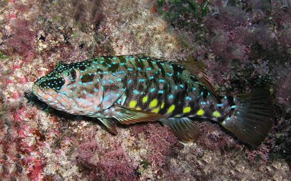
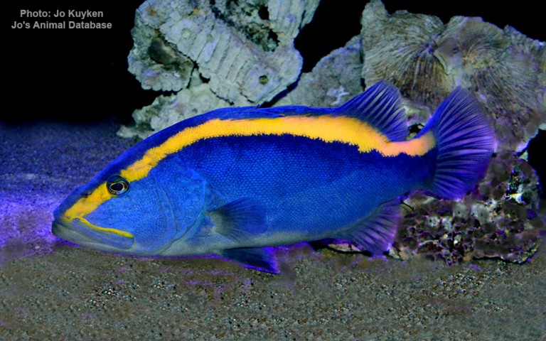
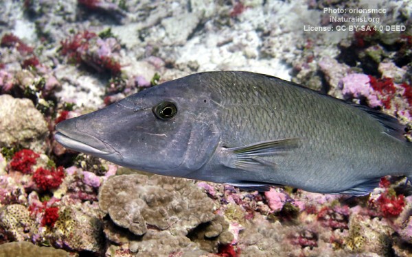
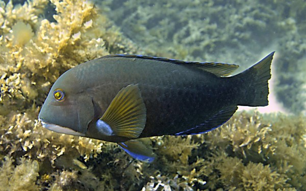
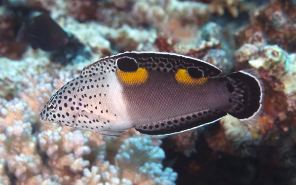
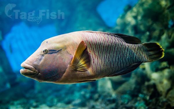
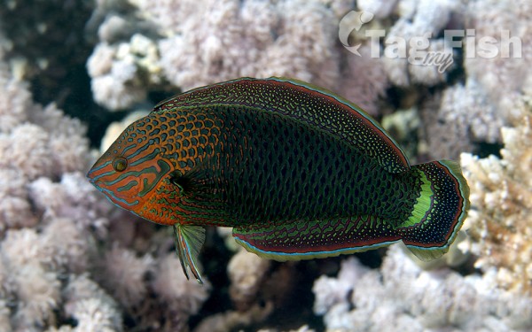
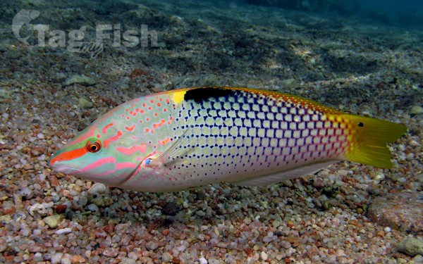
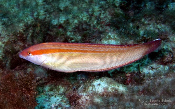
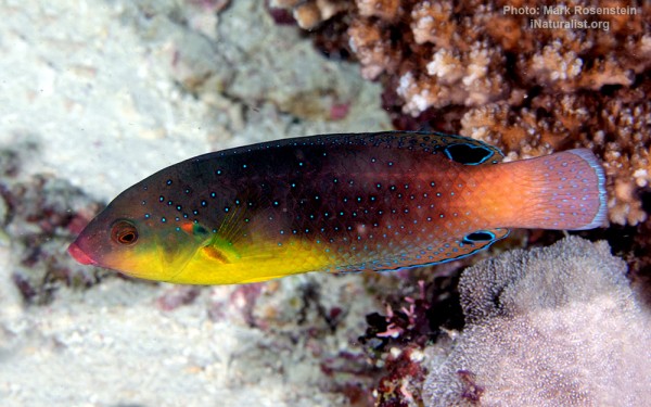
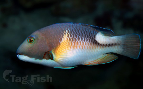
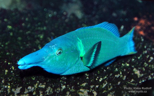
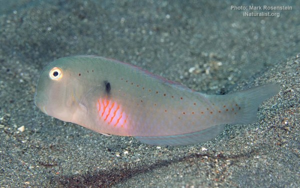
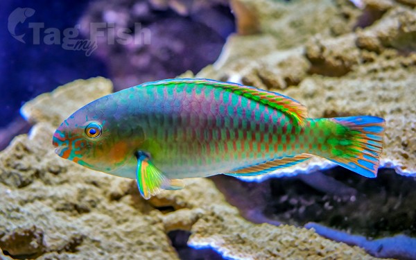
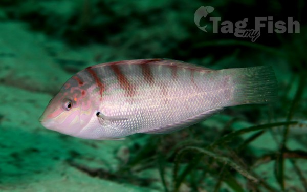
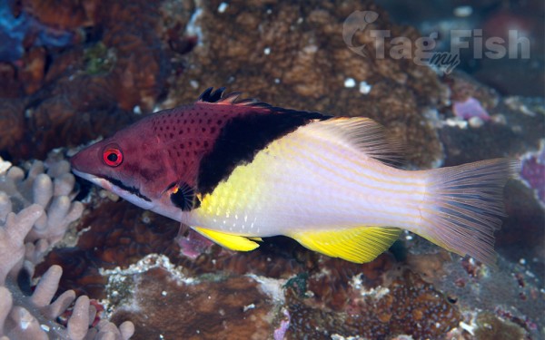
Labriformes - Wrasses
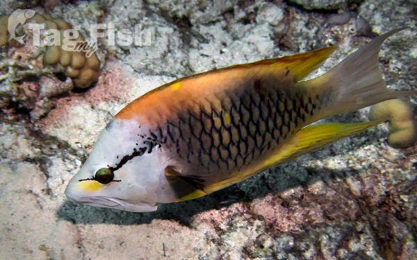
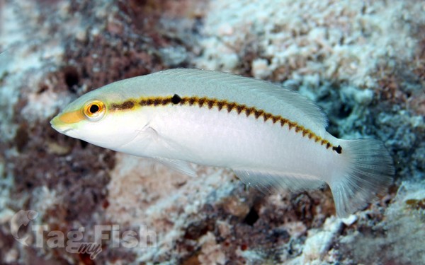
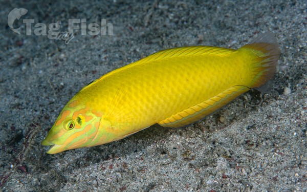


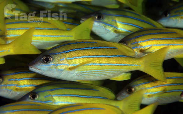
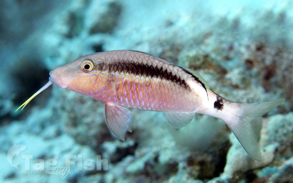
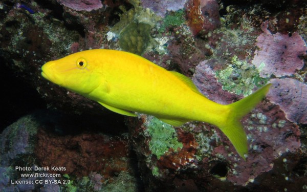
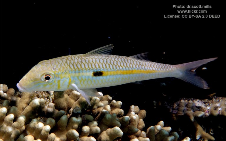
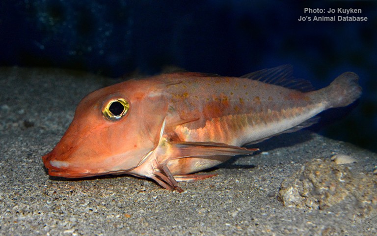
Mulliformes - Goatfishes
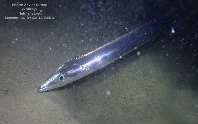
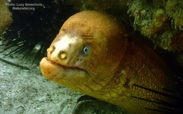
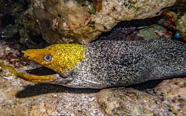
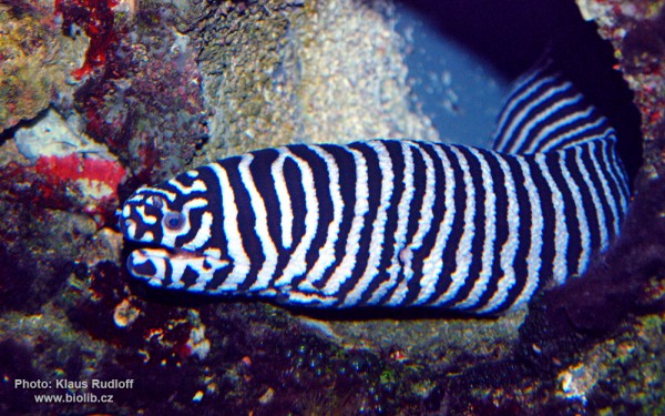
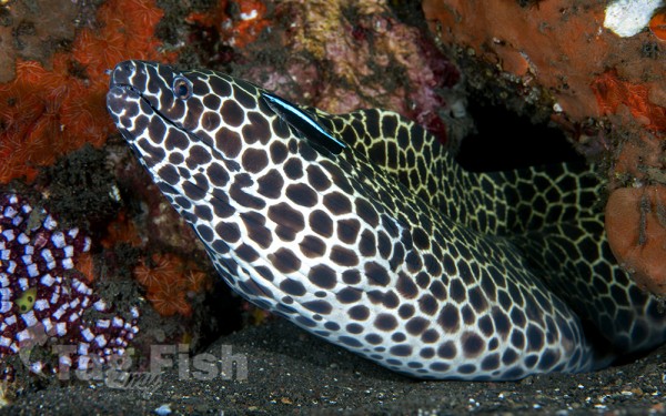
Anguilliformes - Eels and morays
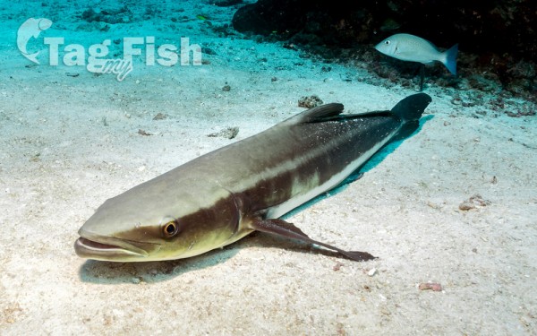
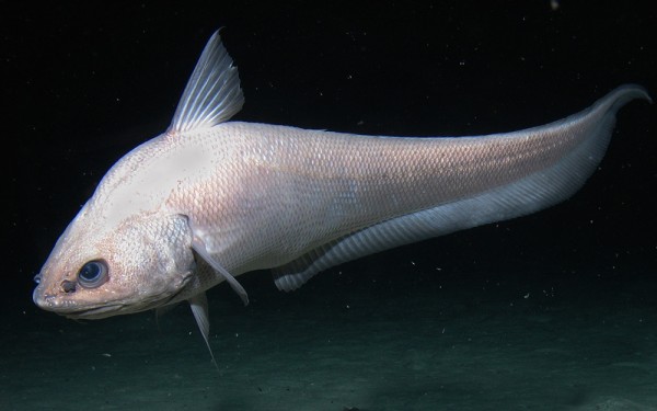
Gadiformes - Cods
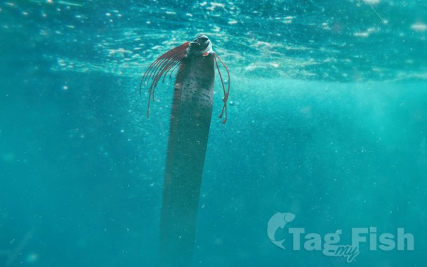
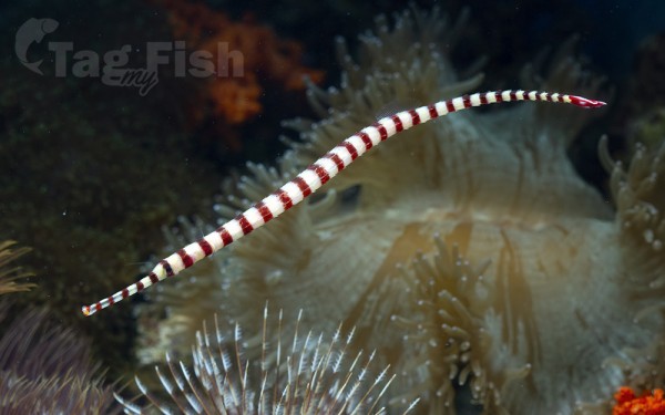
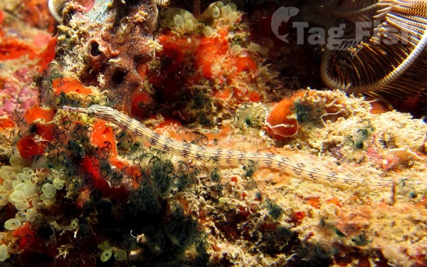
Syngnathiformes - Pipefishes and Seahorses

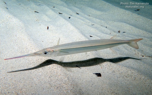
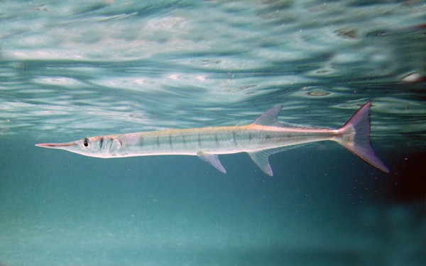
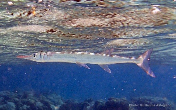
Beloniformes - Needlefishes
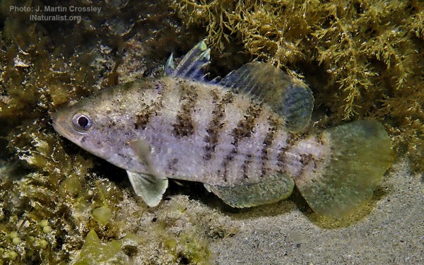
Centrarchiformes - Basses and sunfishes
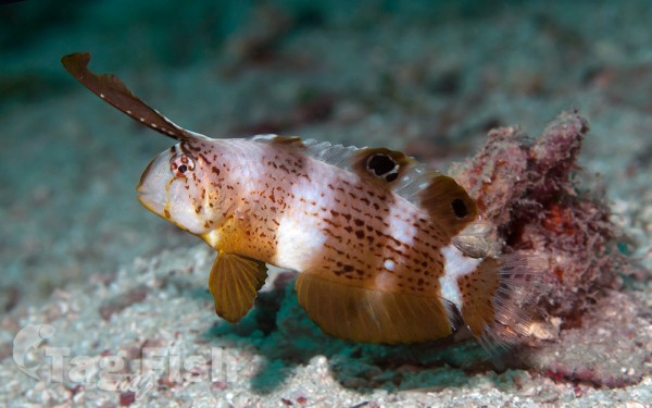
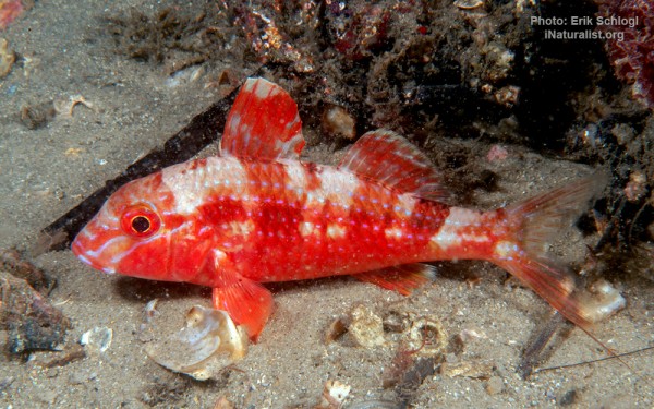
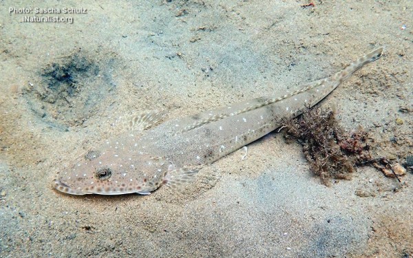
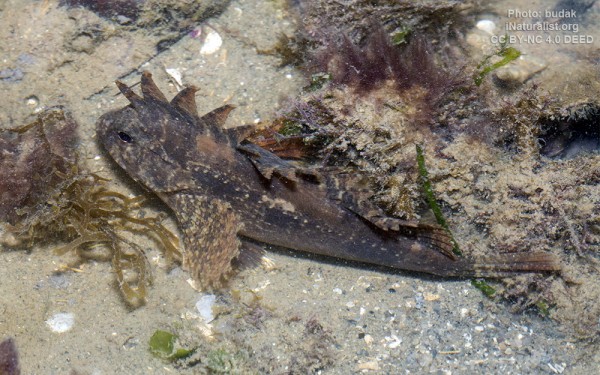
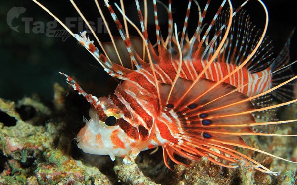
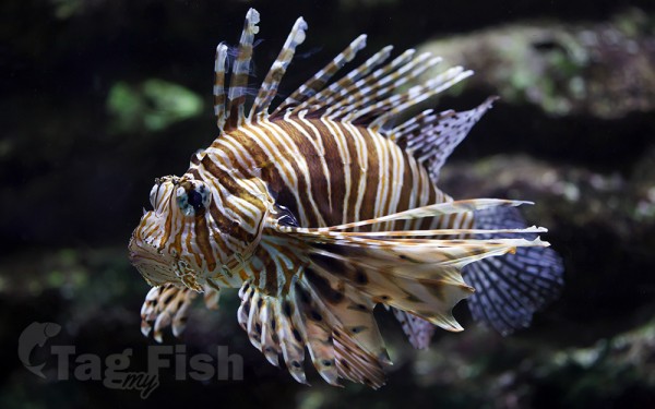
Scorpaeniformes - Mail-cheeked fishes
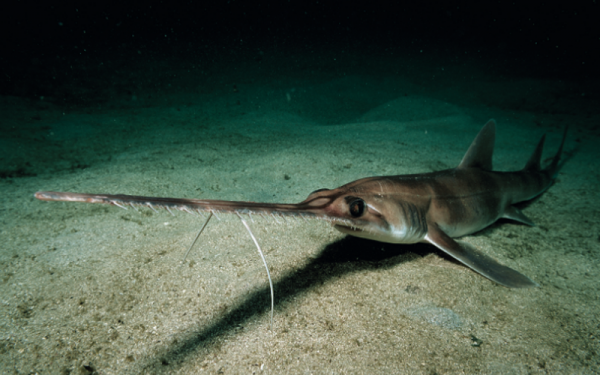
Pristiophoriformes - Saw sharks
Notacanthiformes - Spiny eels
Gonorynchiformes - Milkfishes
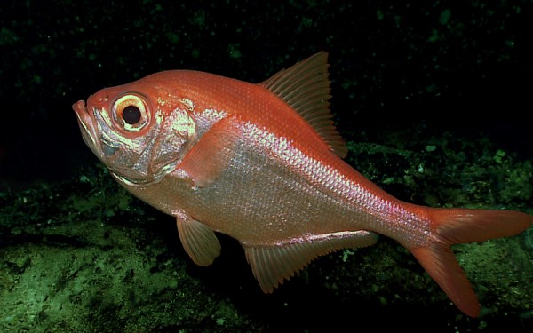
Beryciformes - Sawbellies
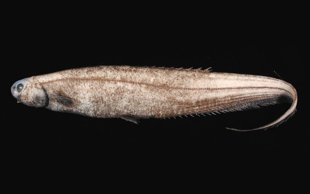
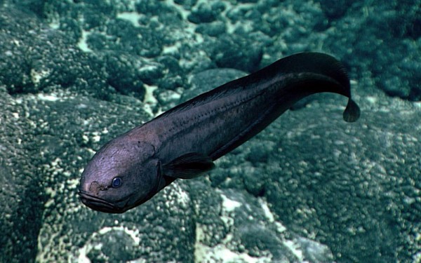
Ophidiiformes - Cusk-eels
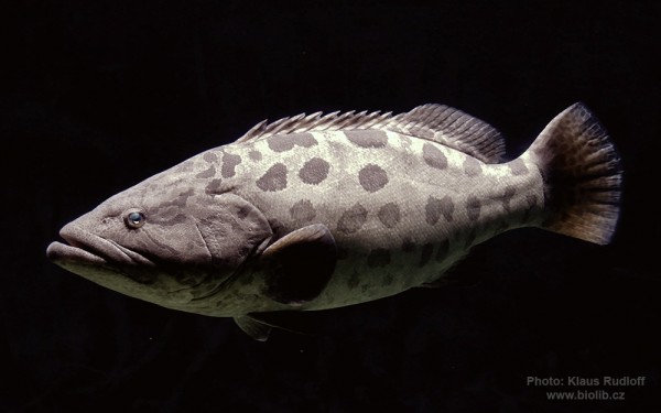
Acropomatiformes - Oceanic basses
Trachiniformes - Weeverfishes
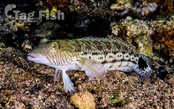
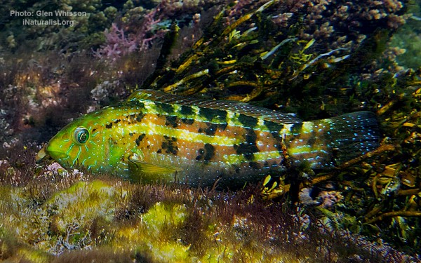
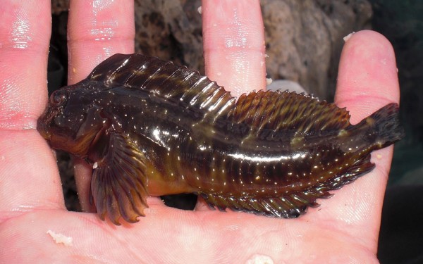
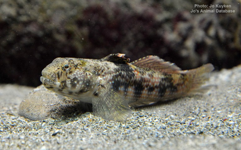
Blenniiformes - Blennies
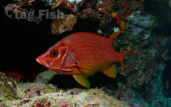
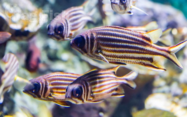
Holocentriformes - Squirrelfishes
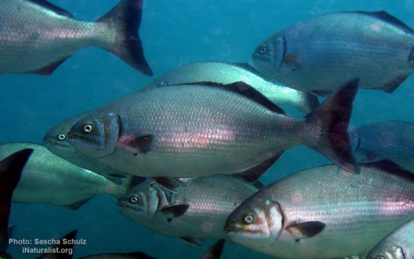
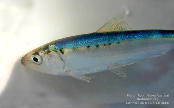
Clupeiformes - Herrings
Gobiiformes - Gobies
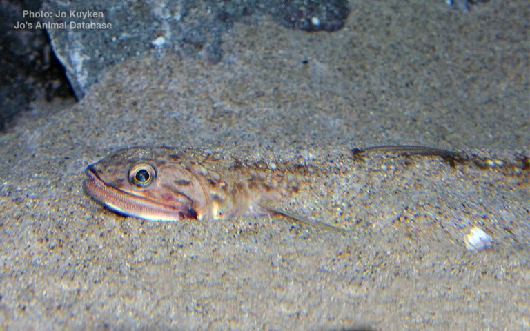
Aulopiformes - Grinners
The Great Australian Bight is a large oceanic bight, or open bay, off the central and western portions of the southern coastline of mainland Australia.
Two definitions of the extent are in use – one used by the International Hydrographic Organization (IHO) and the other used by the Australian Hydrographic Service (AHS).
The IHO defines the Great Australian Bight as having the following limits:
On the North. The south coast of the Australian mainland.
On the South. A line joining West Cape Howe (35°08′S 117°37′E) Australia to South West Cape, Tasmania.
On the East. A line from Cape Otway, Victoria to King Island and thence to Cape Grim, the northwest extreme of Tasmania.
The AHS defines the bight with a smaller area, from Cape Pasley, Western Australia, to Cape Carnot, South Australia – a distance of 1,160 kilometres (720 mi).
Much of the bight lies due south of the expansive Nullarbor Plain, which straddles South Australia and Western Australia. The Eyre Highway passes close to the cliffs of the bight between the Head of the Bight and Eucla.
Outside of Australia, the Great Australian Bight is generally considered part of the Indian Ocean. The AHS considers it to be part of the Southern Ocean, using the expanded Australian definition used for this ocean. The IHO in its Limits of Oceans and Seas (both the currently in-force 1953 edition and the 2002 never-approved draft) includes the bight with the Indian Ocean, while Bass Strait and the Tasman Sea are included by IHO with the South Pacific Ocean in the 2002 draft. In the 1953 edition, IHO includes Bass Strait as part of the Indian Ocean.


