Delaware Bay

Largest tributaries

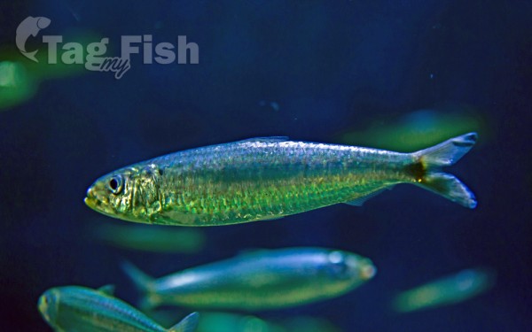
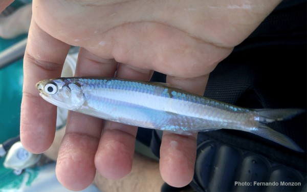
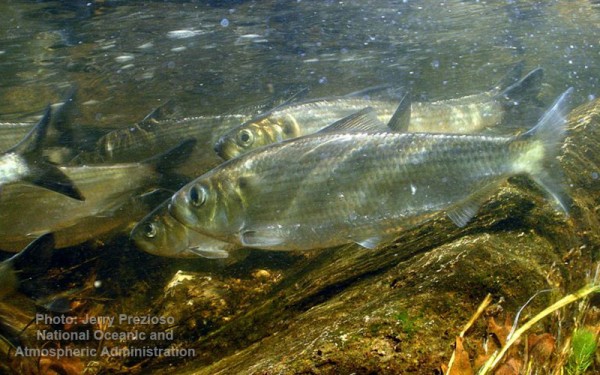
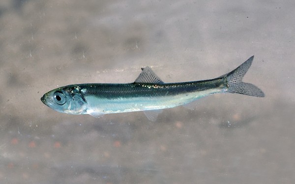
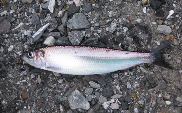
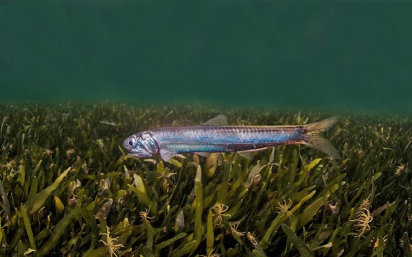
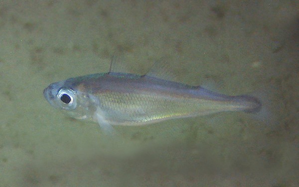
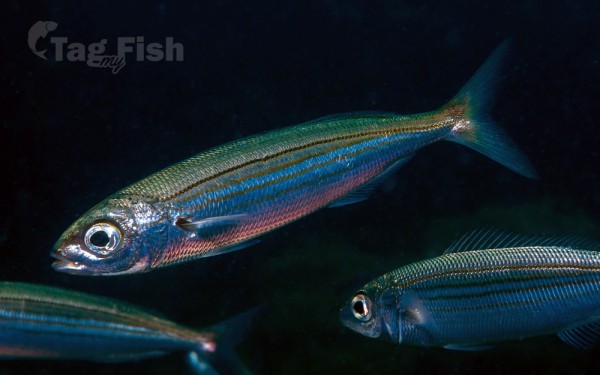
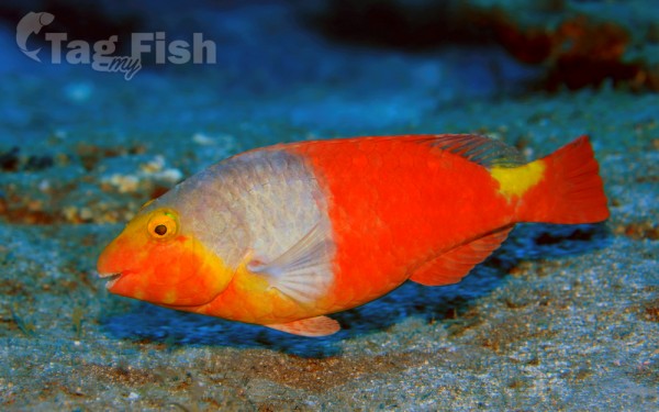
Clupeiformes - Herrings
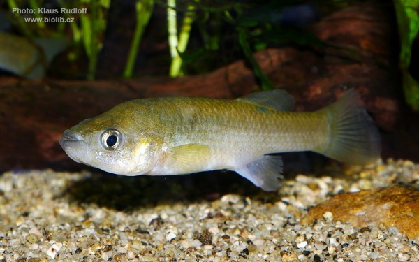
Cyprinodontiformes - Toothcarps
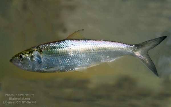
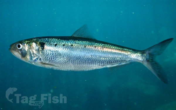
Clupeiformes - Herrings
Cyprinodontiformes - Toothcarps
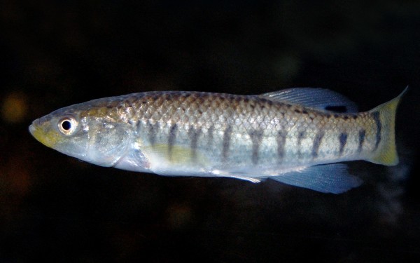
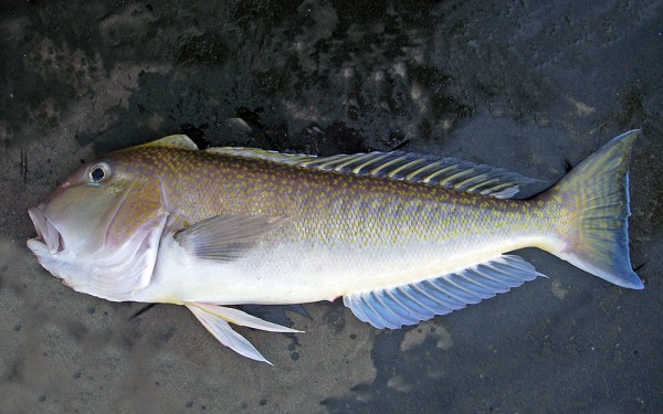
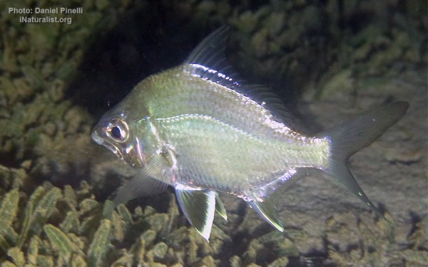
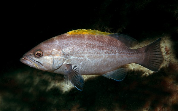
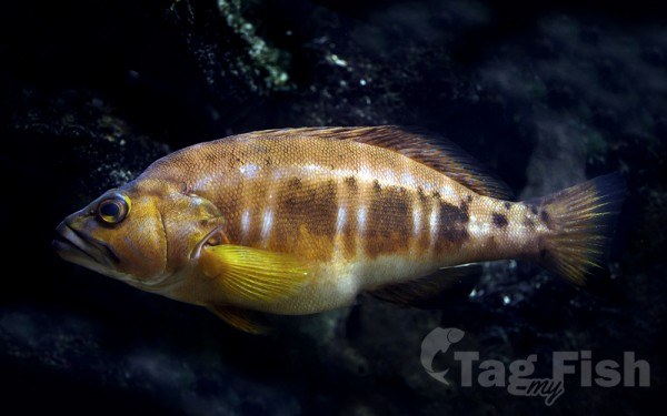
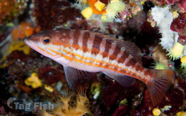
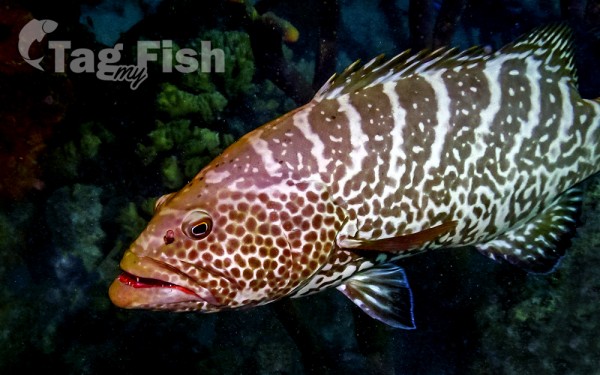
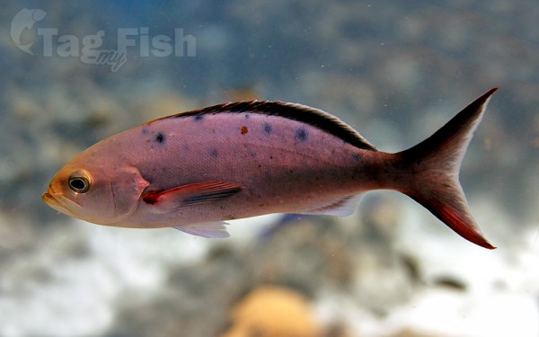
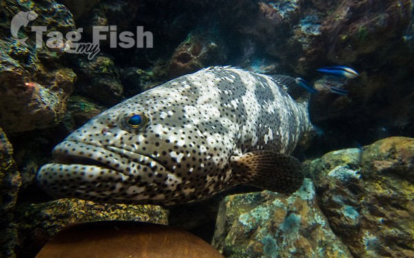
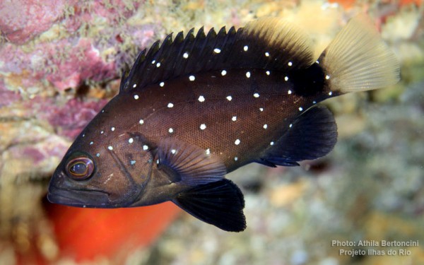
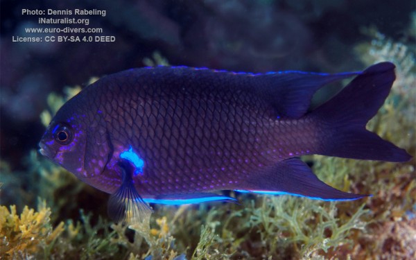
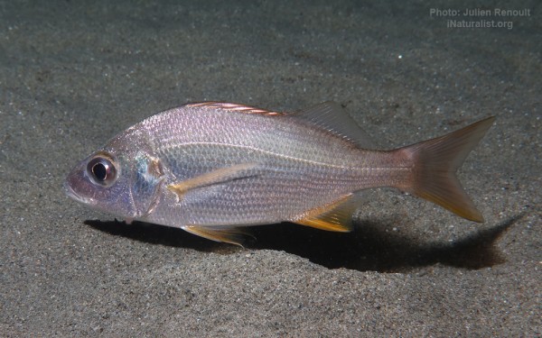
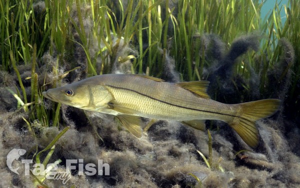
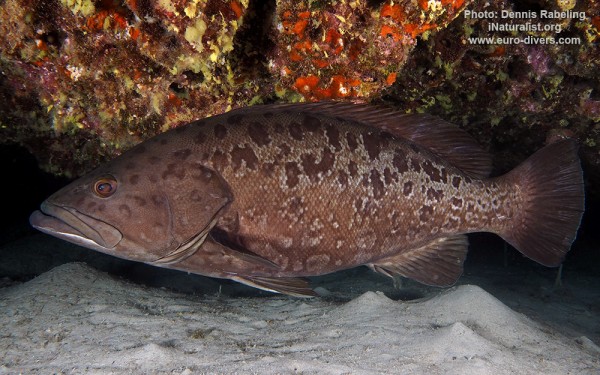
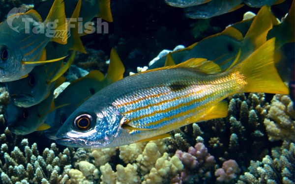
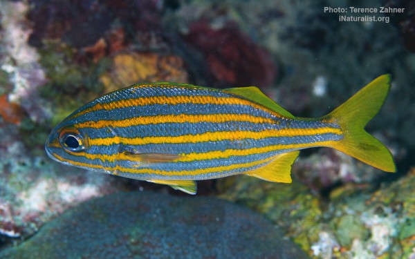
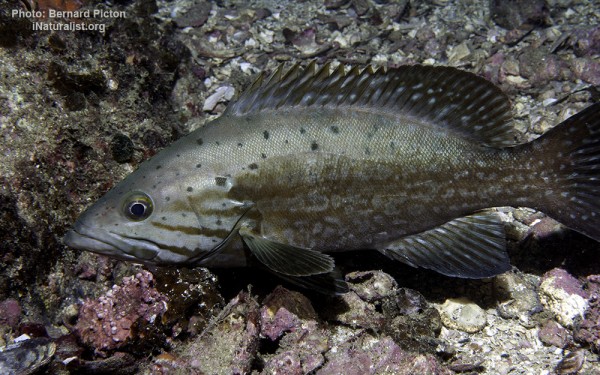
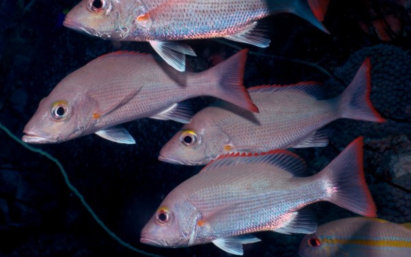
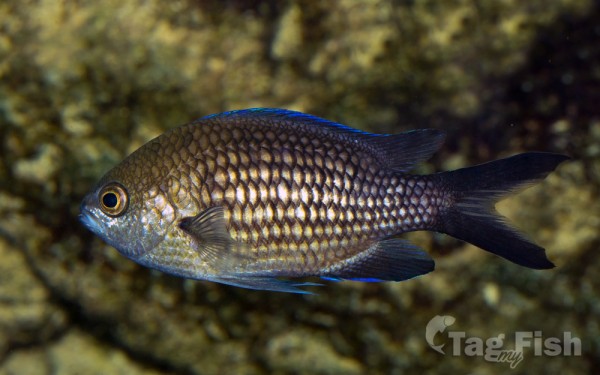
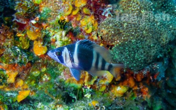
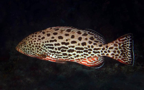
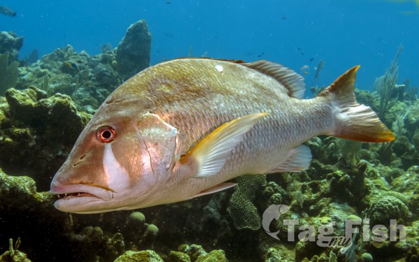
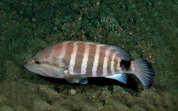
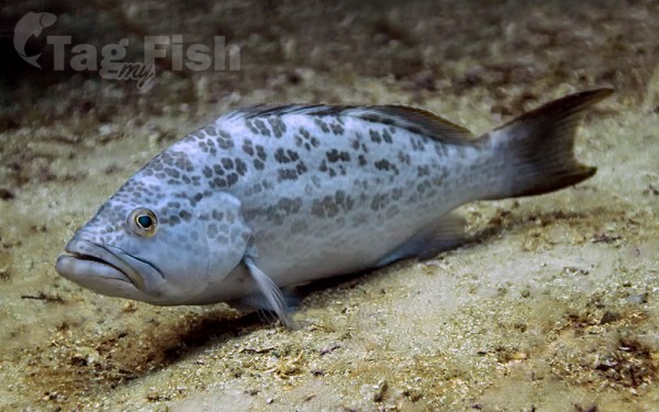
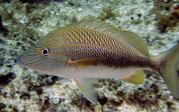
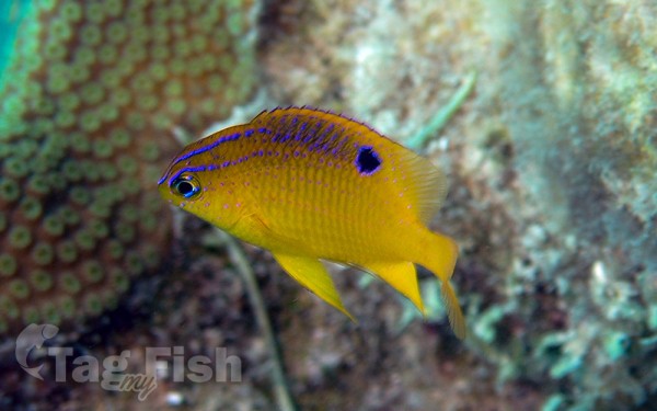
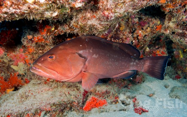
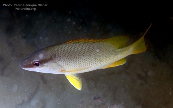
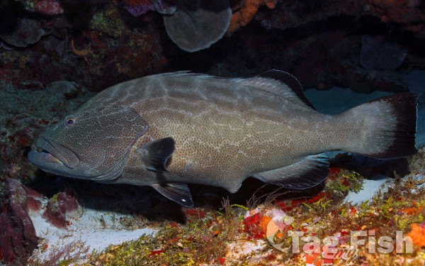
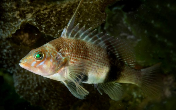
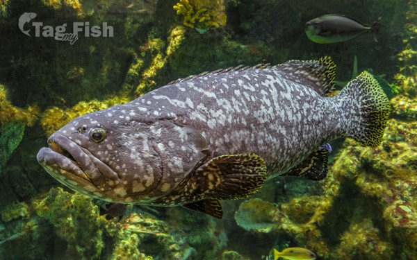
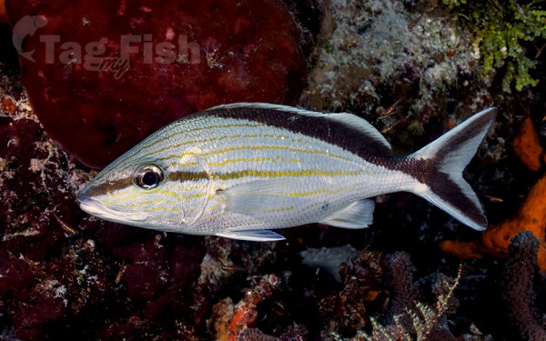
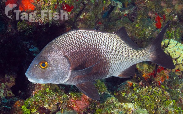
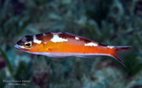
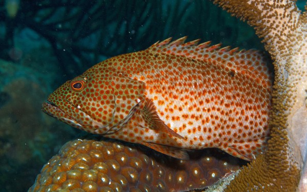
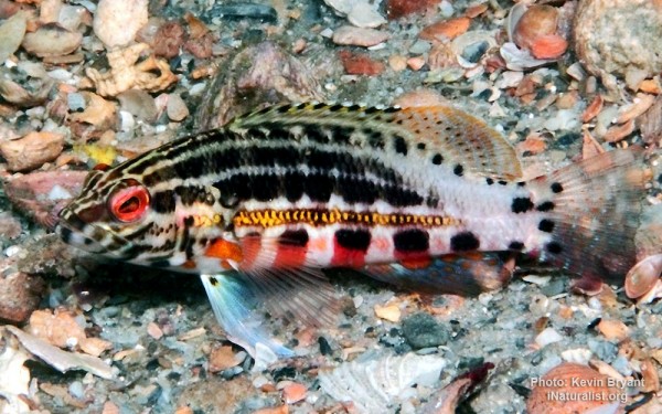
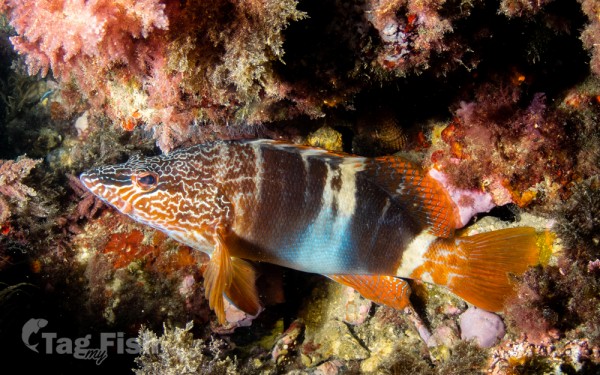
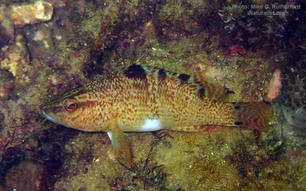
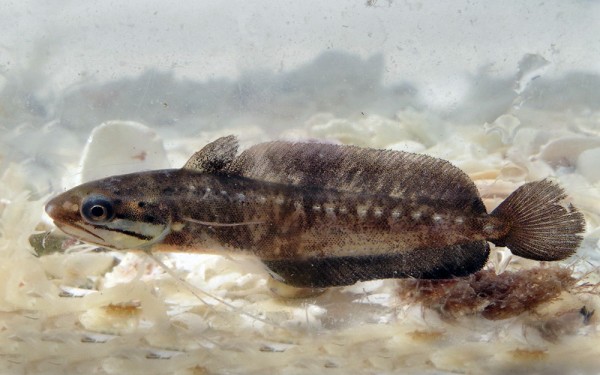
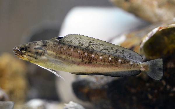
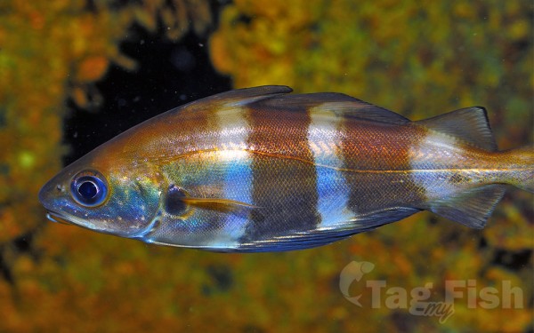
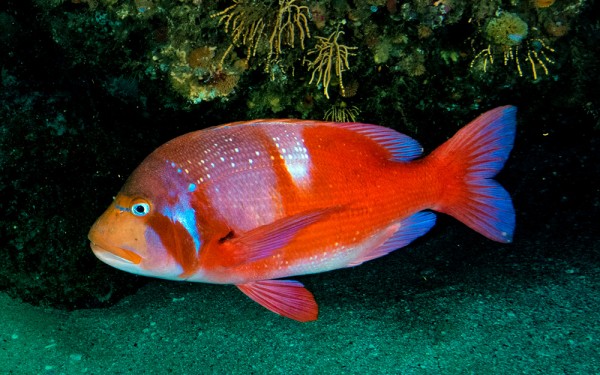
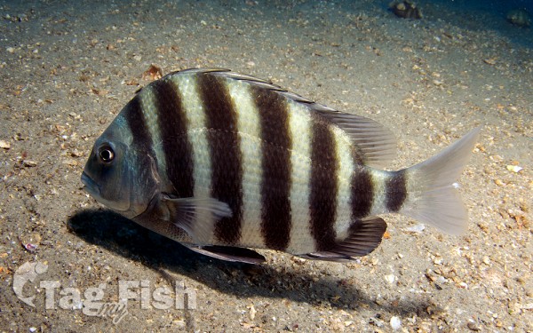
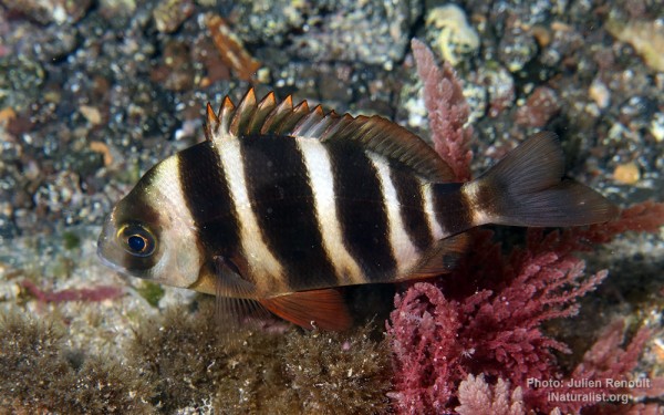
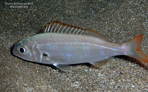
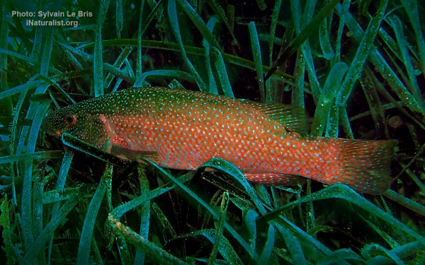
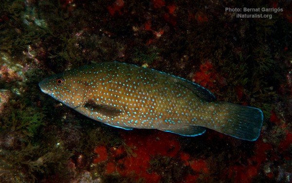
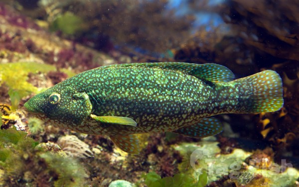
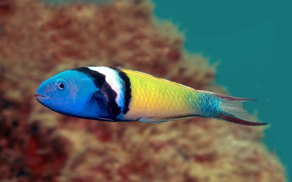
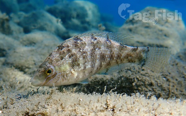
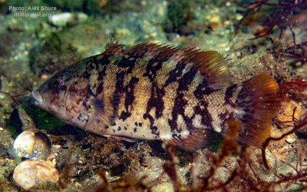
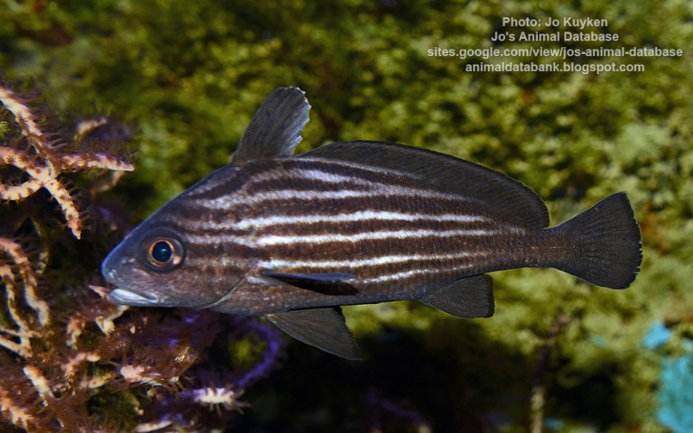
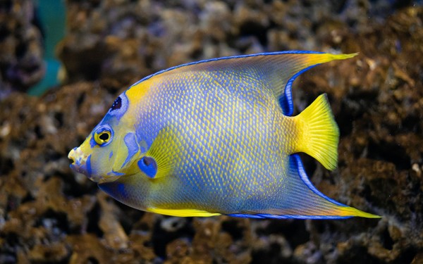
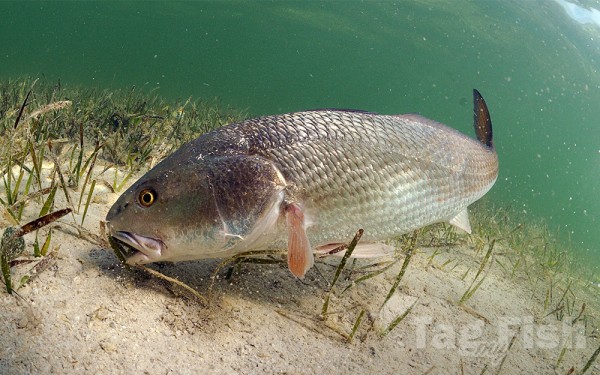
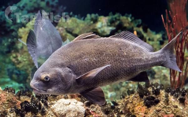
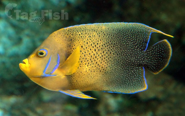
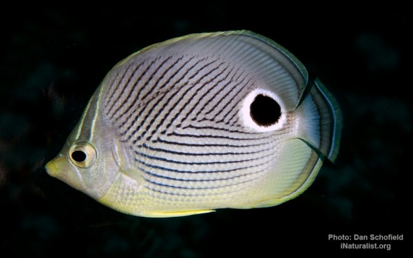
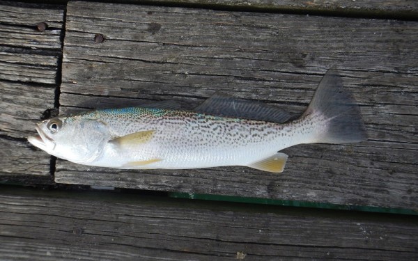
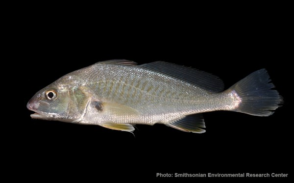
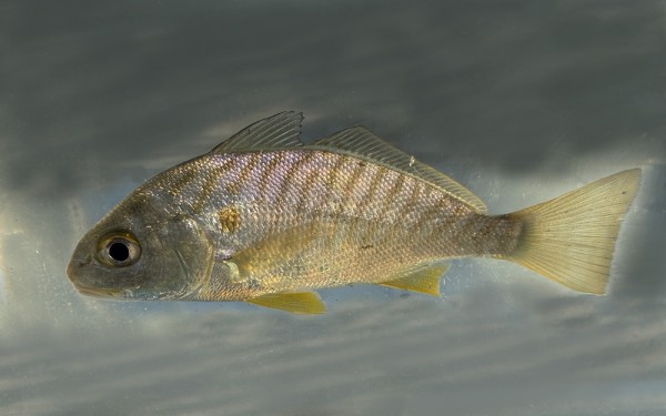
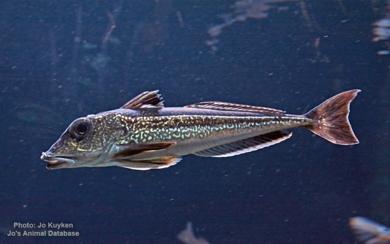
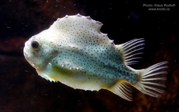
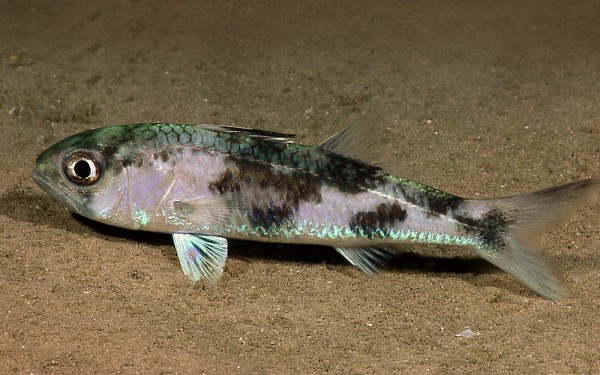
Perciformes - Perches


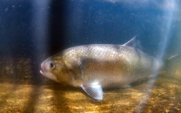
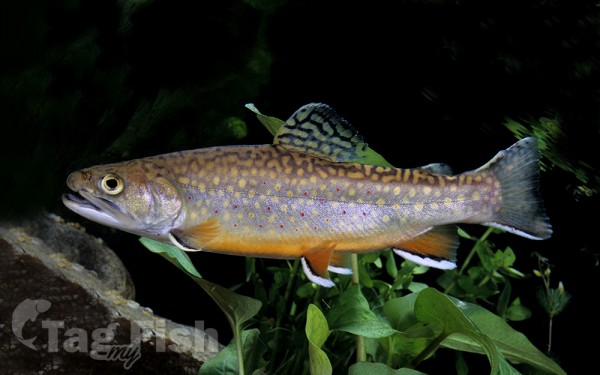
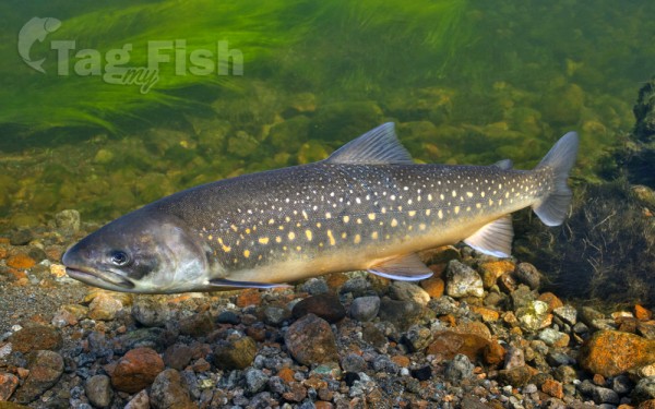
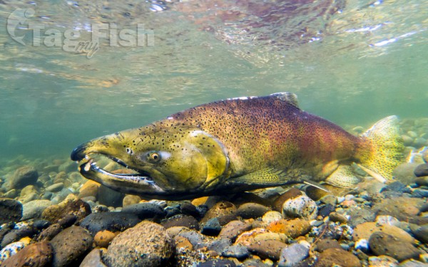
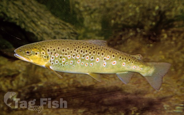
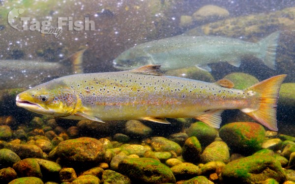
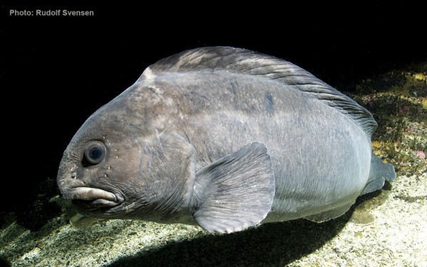
Salmoniformes - Salmons and Trouts
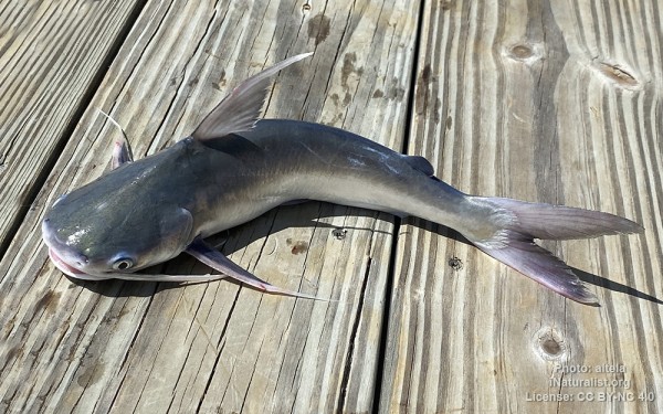
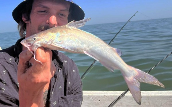
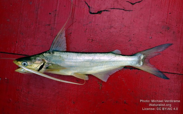
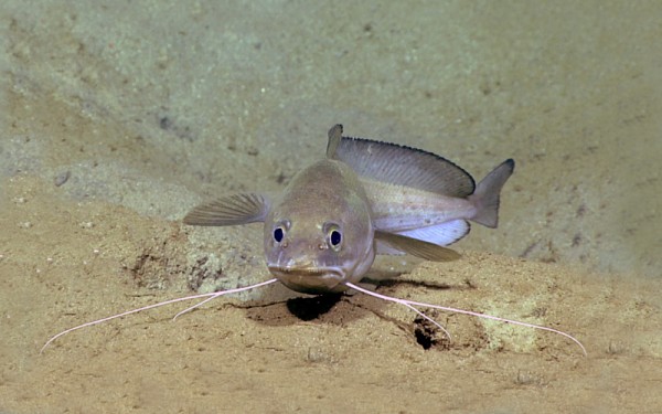
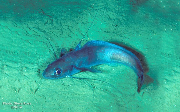
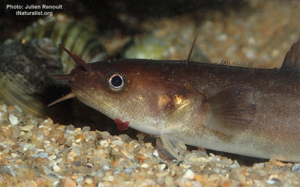
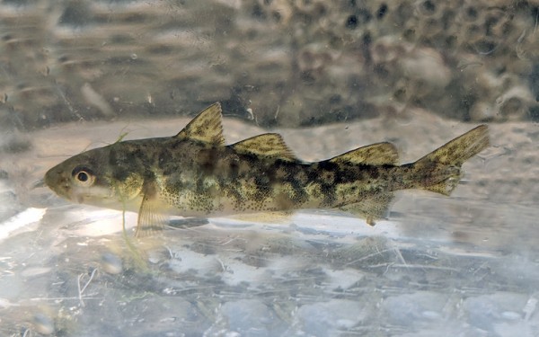
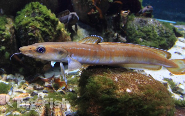
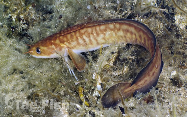
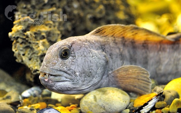
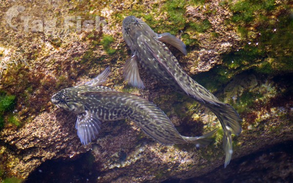
Siluriformes - Catfishes
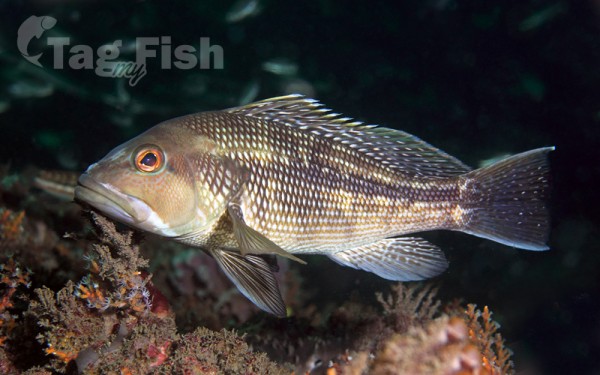
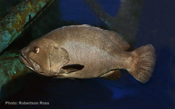
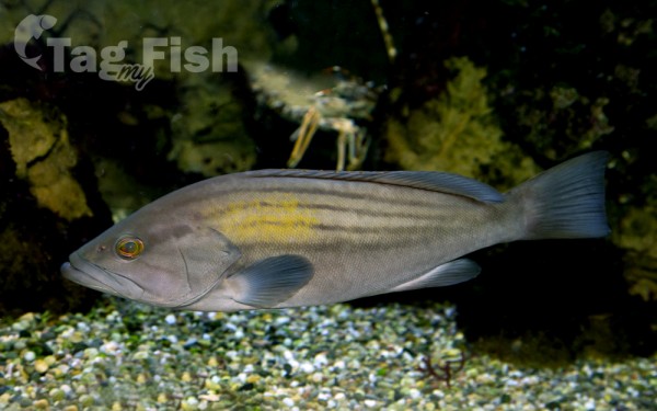
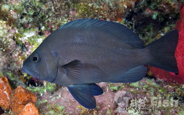
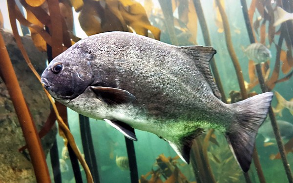
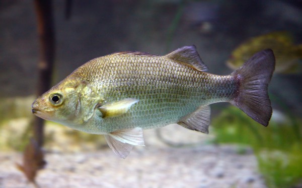
Centrarchiformes - Basses and sunfishes
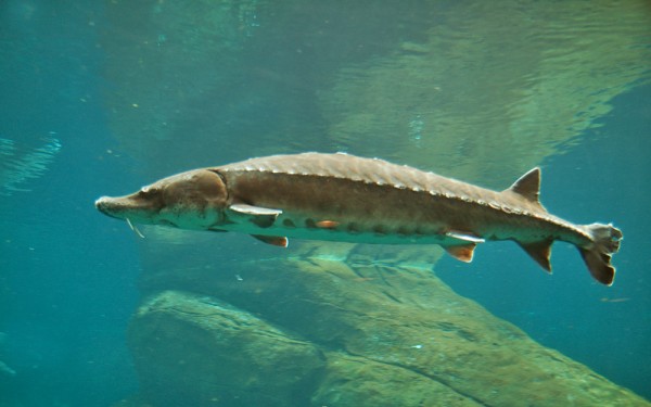
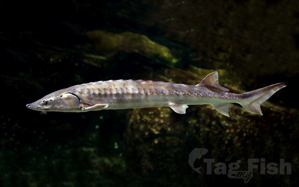
Acipenseriformes - Sturgeons and Paddlefish
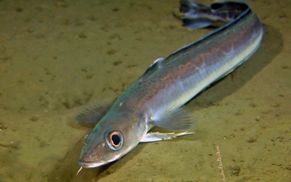
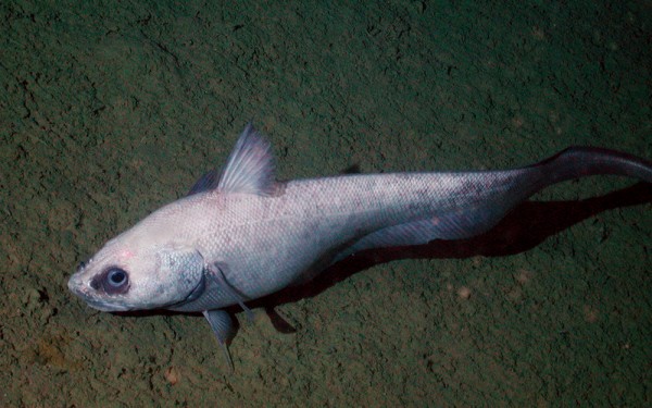
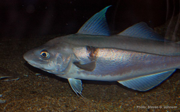
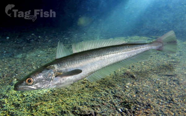
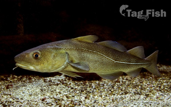
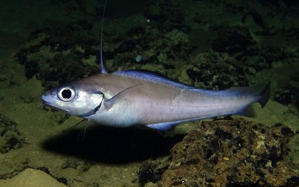
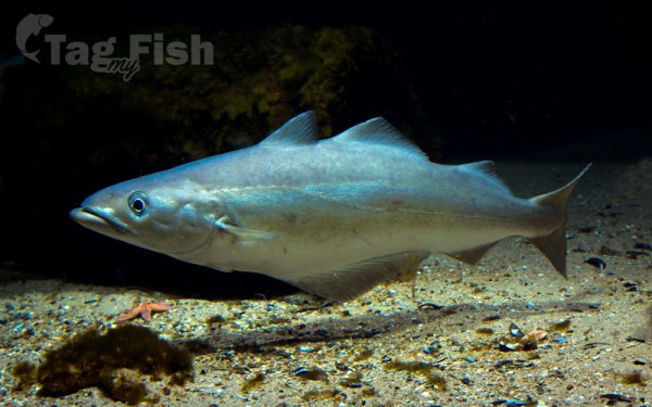
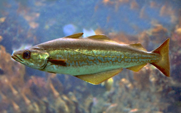
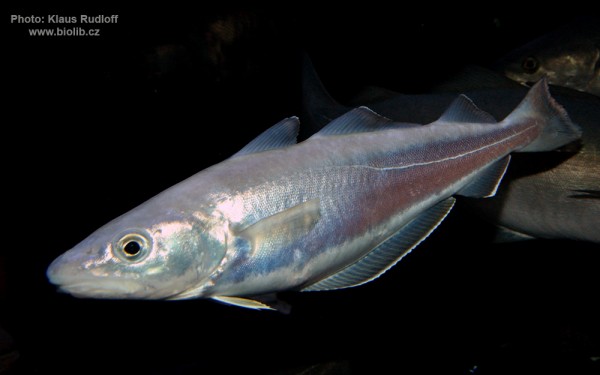
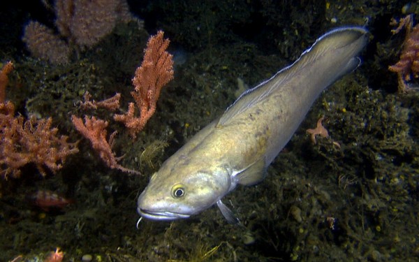
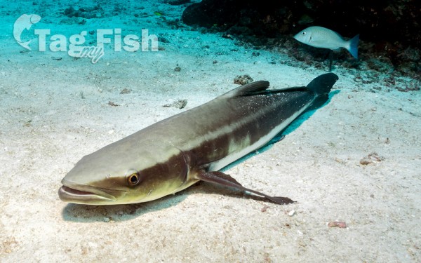
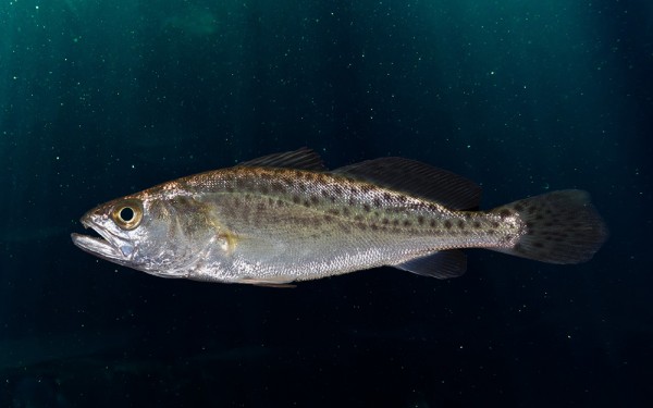
Gadiformes - Cods

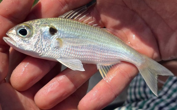
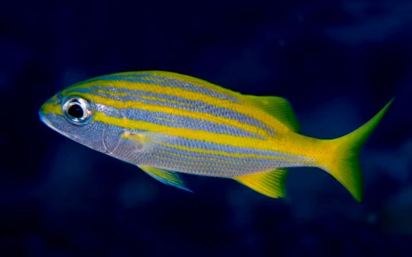
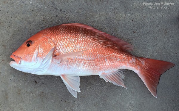
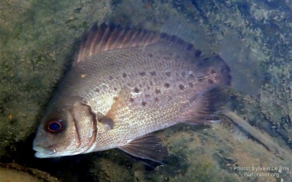
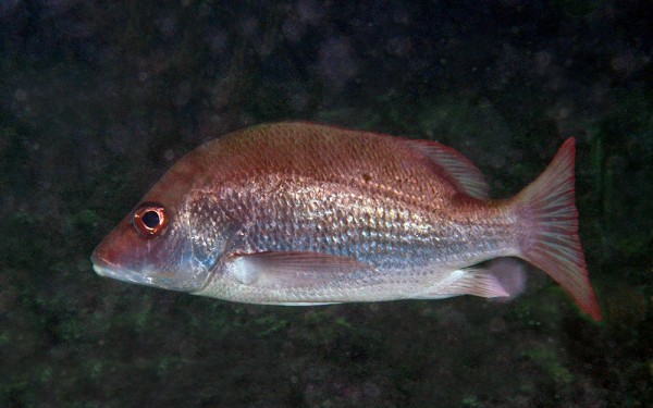
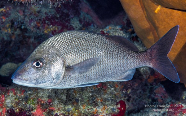
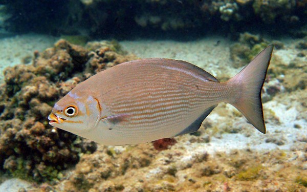
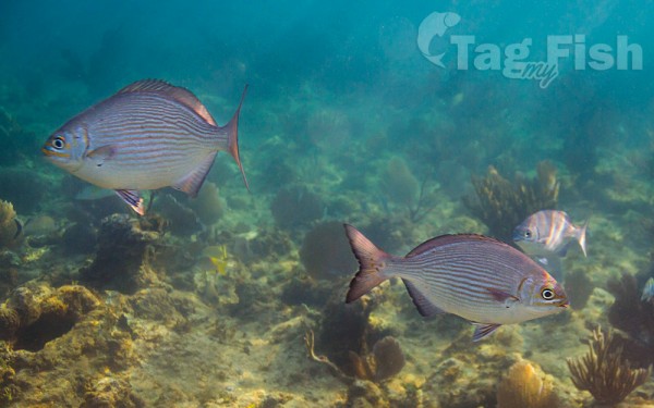
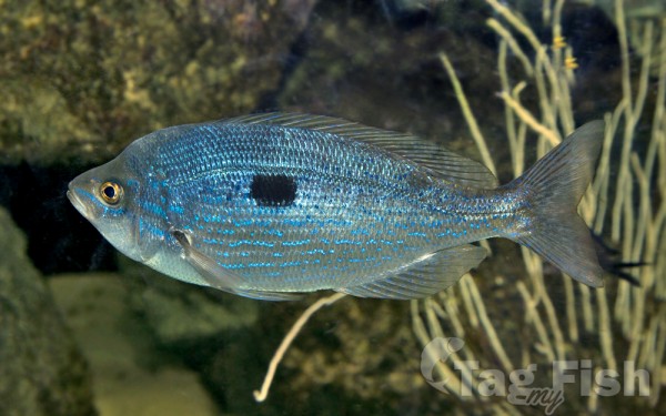
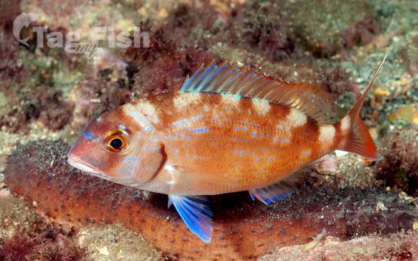
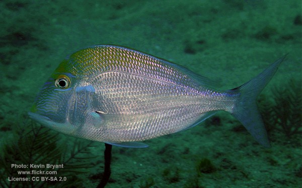
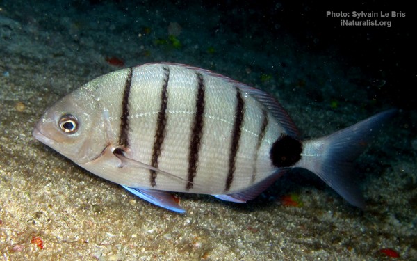
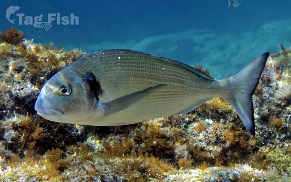
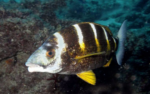
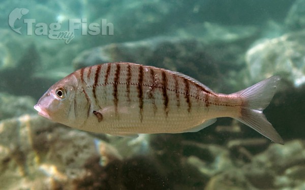
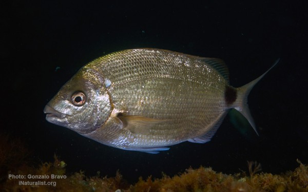
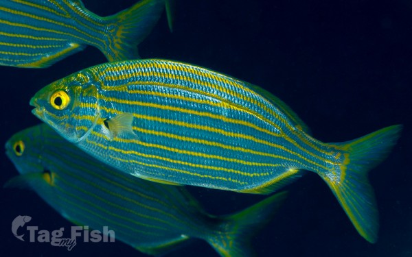
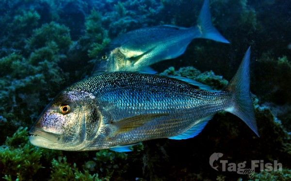
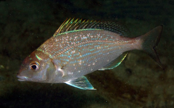
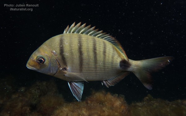
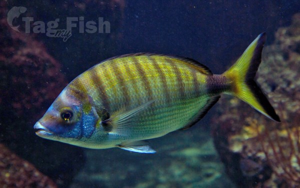
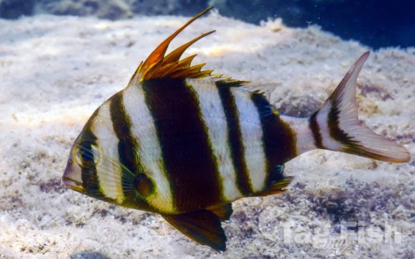
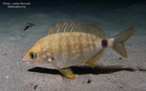
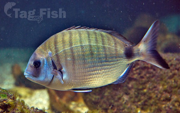
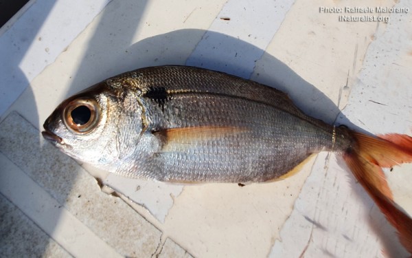
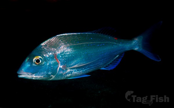
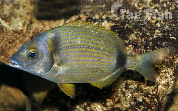
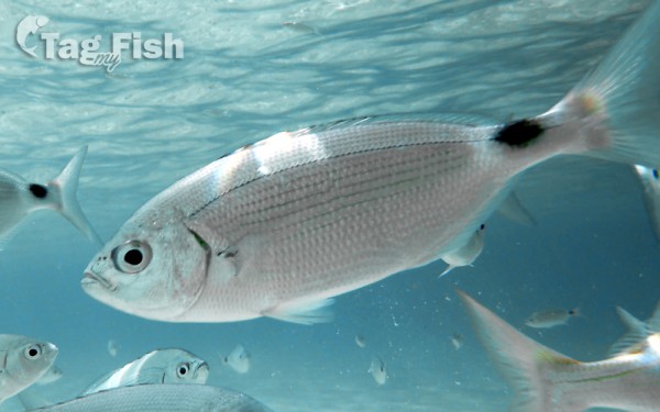
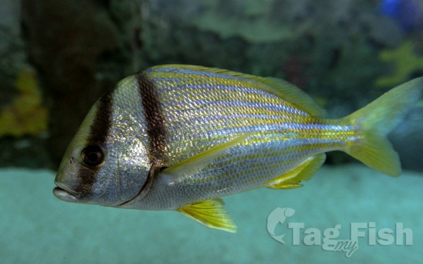
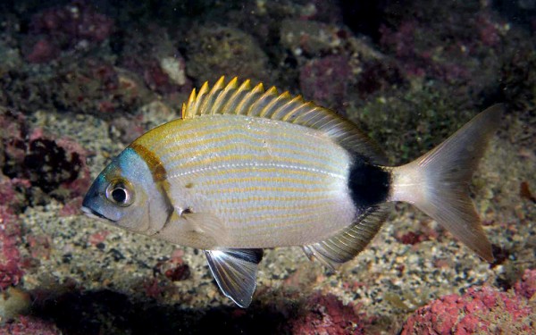
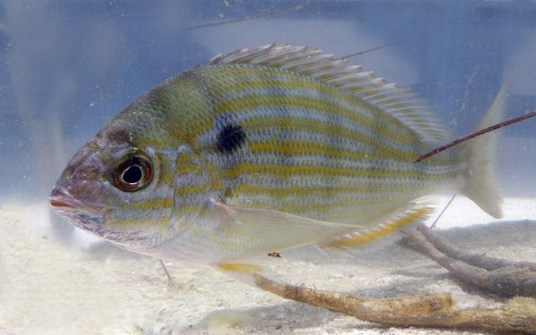
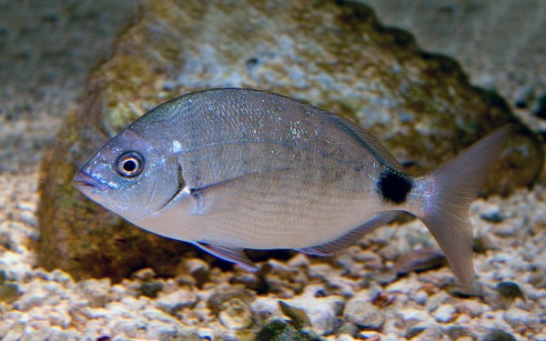
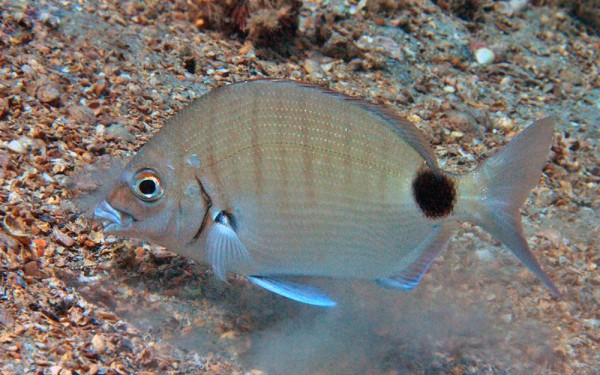
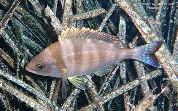
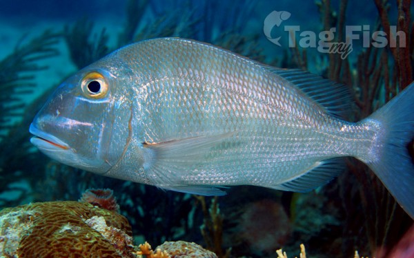
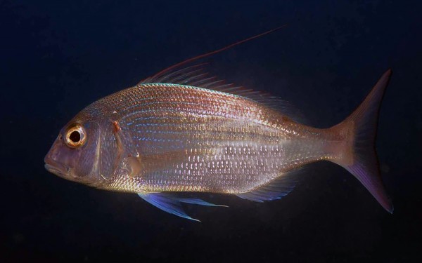
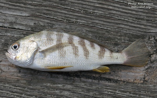
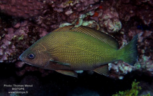
Spariformes - Breams and porgies
Zeiformes - Dories
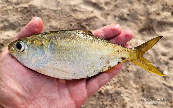
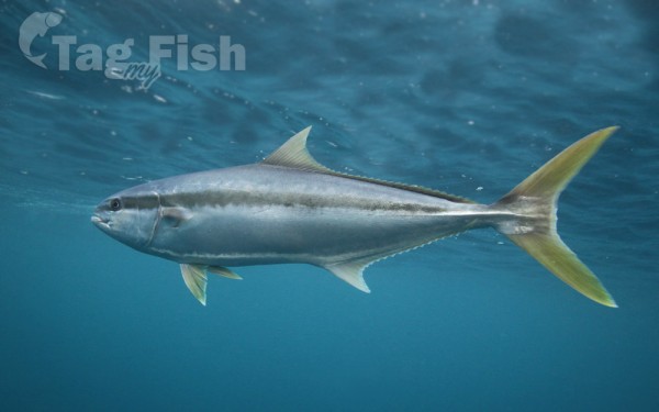
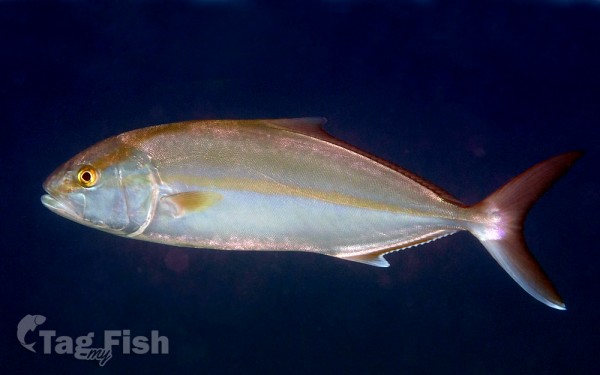
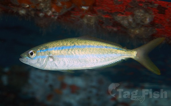
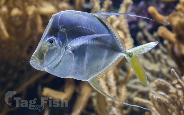
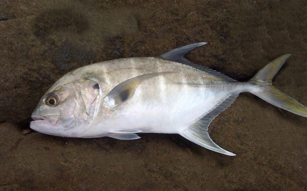
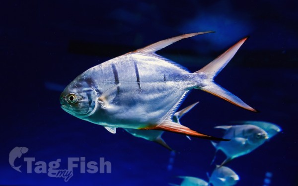
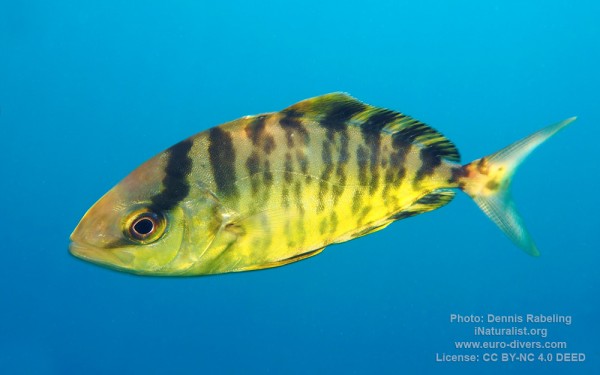
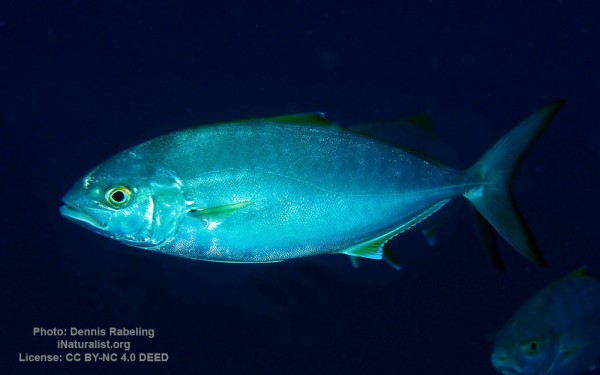
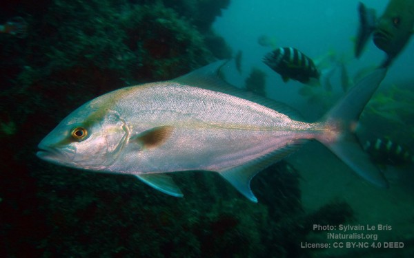
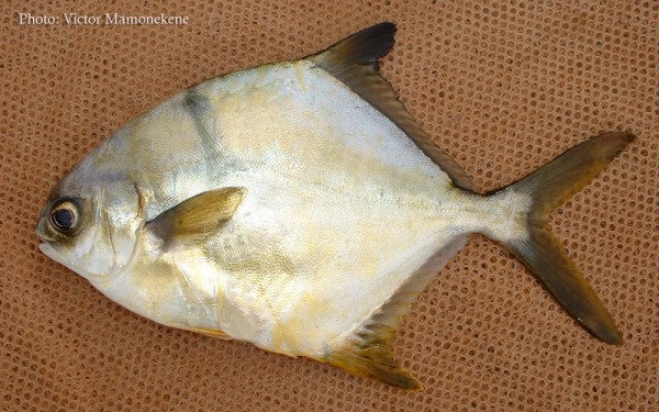
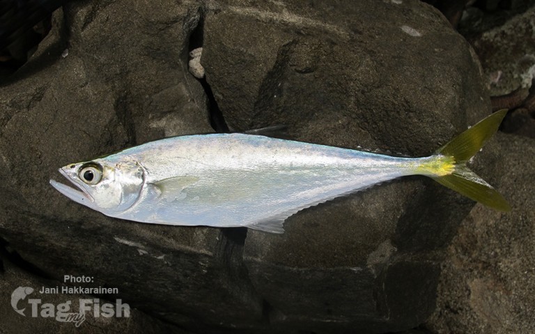
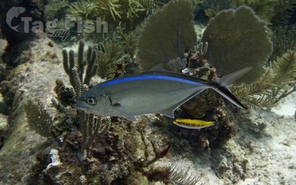
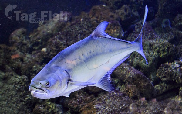
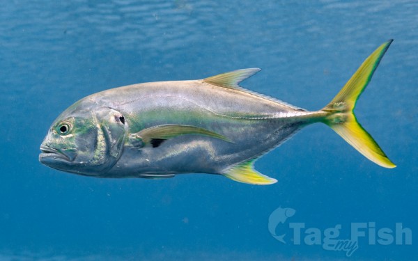
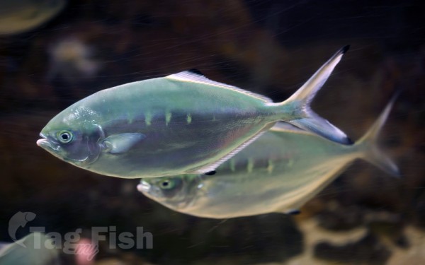
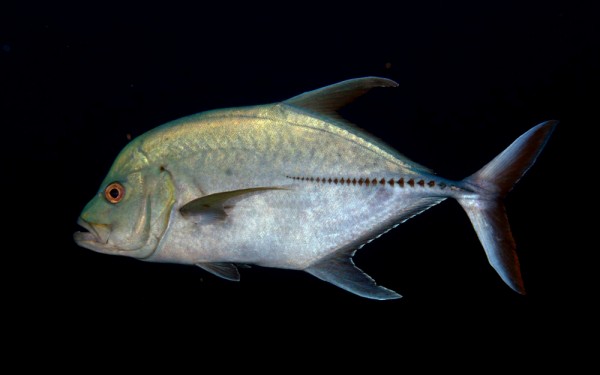
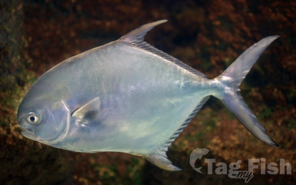
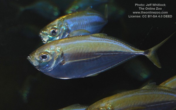
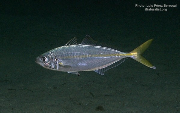
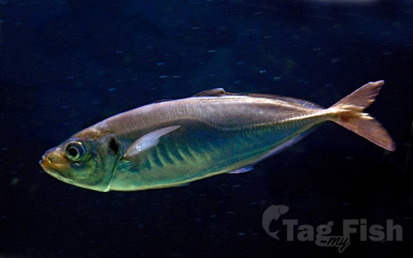
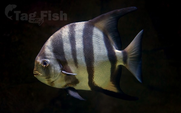
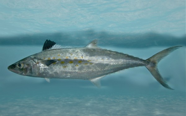
Carangiformes - Jacks

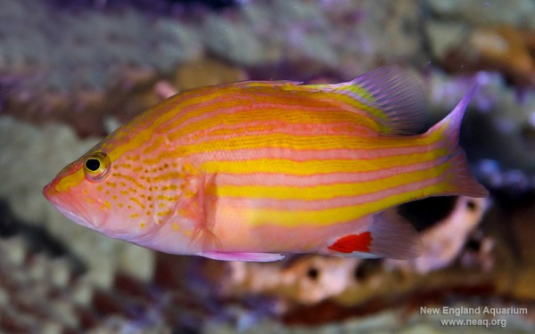
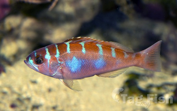
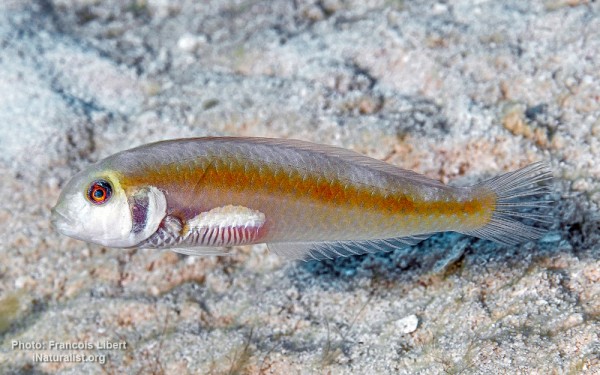
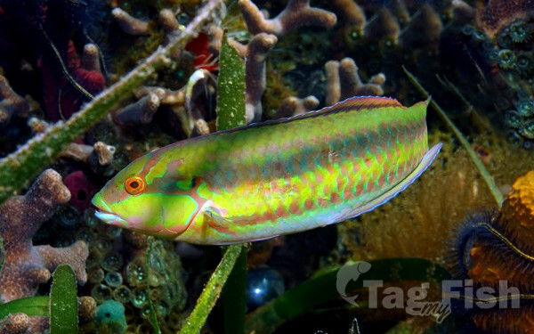
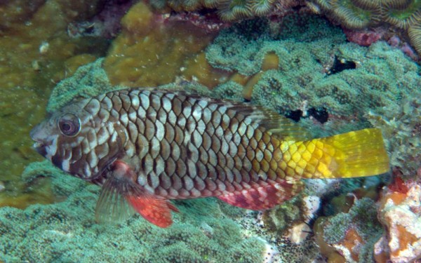
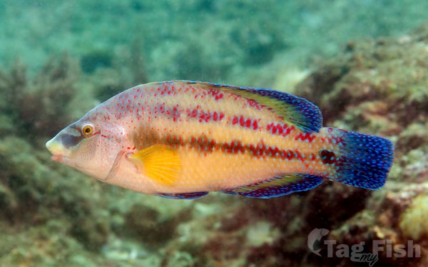
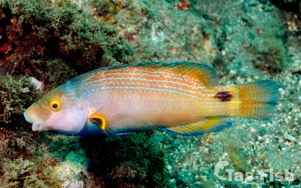
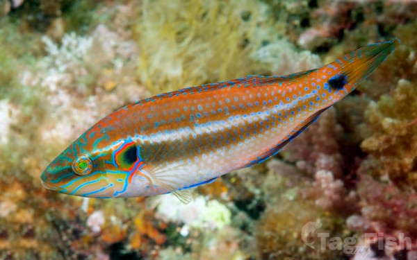
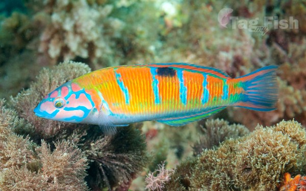
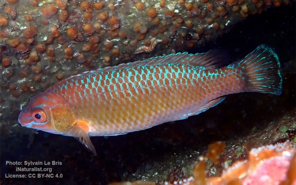
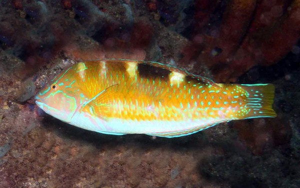
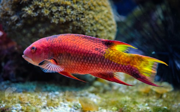
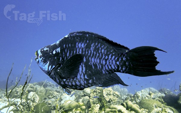
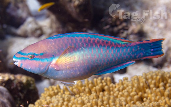
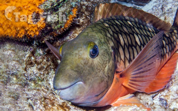
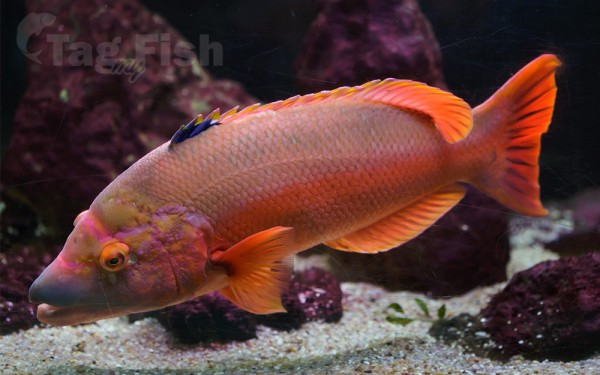
Labriformes - Wrasses


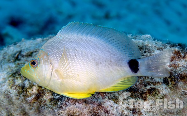
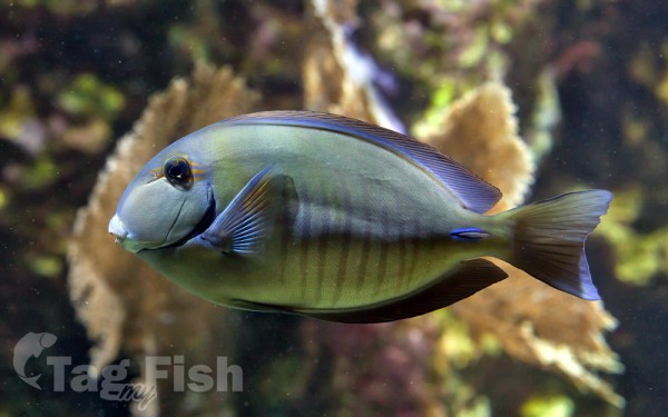
Acanthuriformes - Surgeonfishes


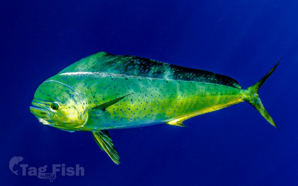
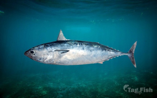
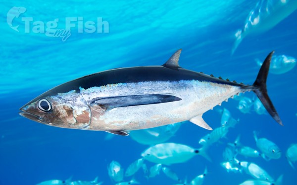
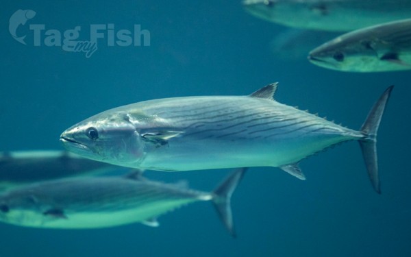
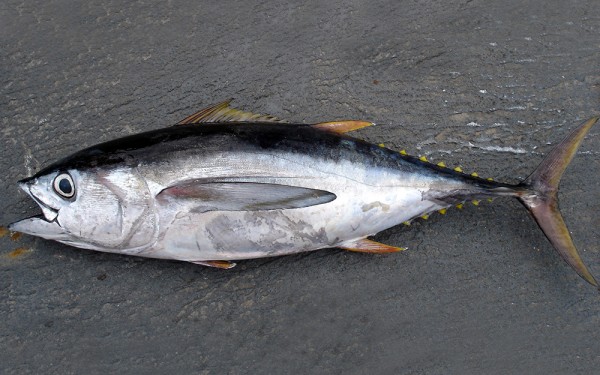
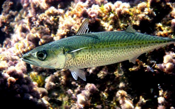
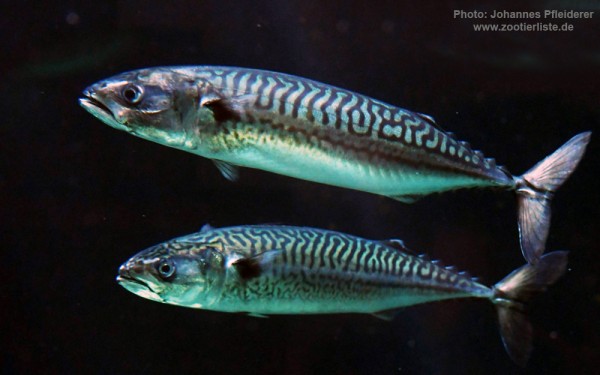
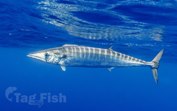
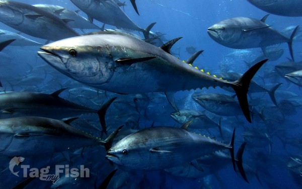
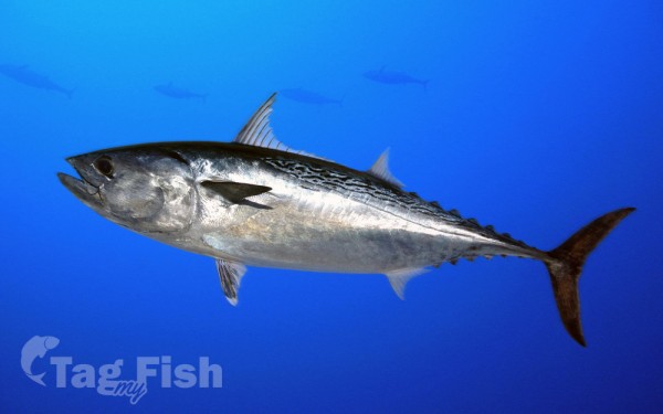
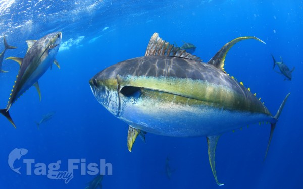
Scombriformes - Mackerels
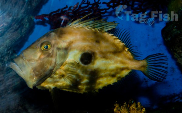
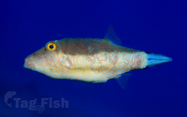
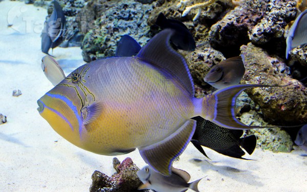
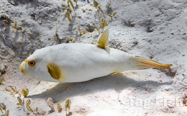
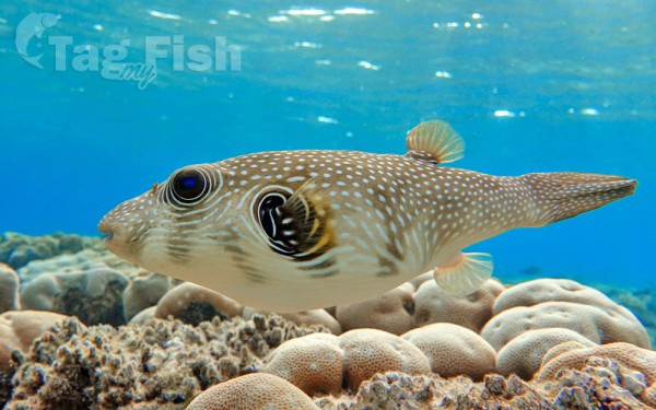
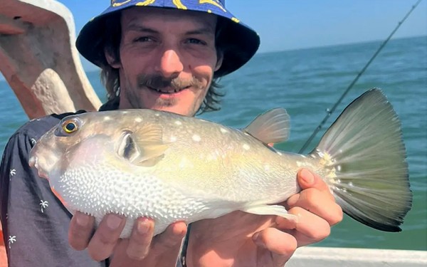
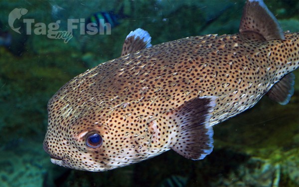
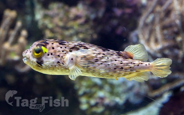
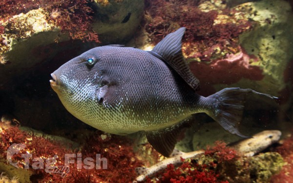
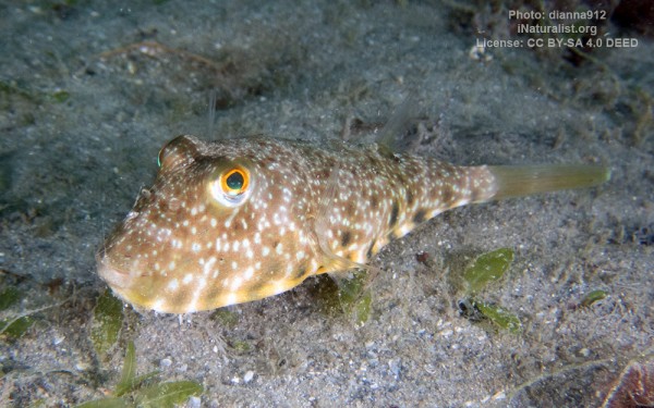
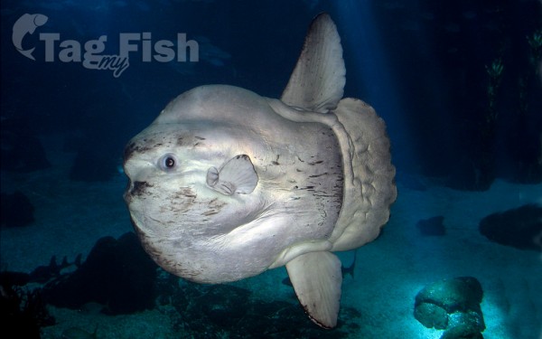
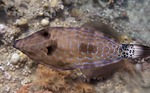
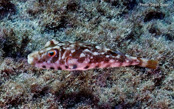
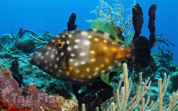
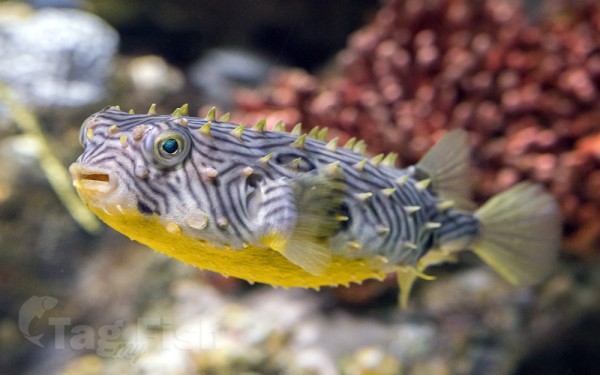
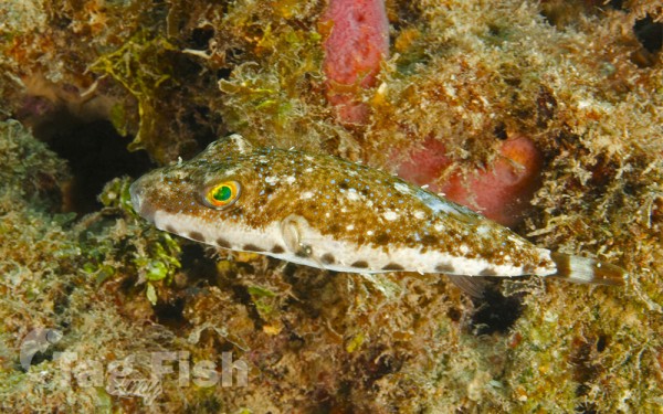
Tetraodontiformes - Puffers and filefishes
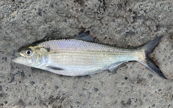
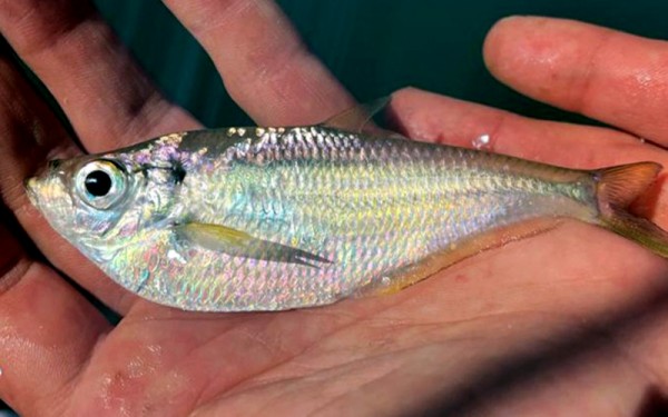
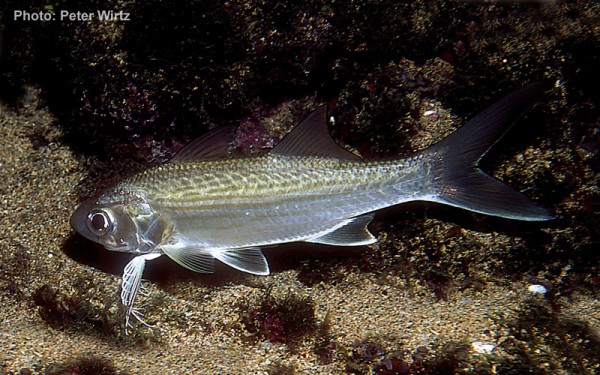
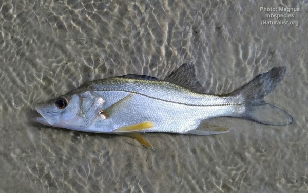
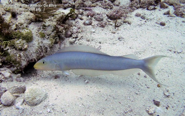
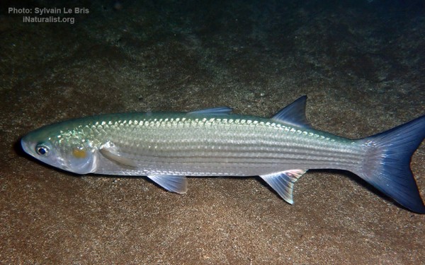
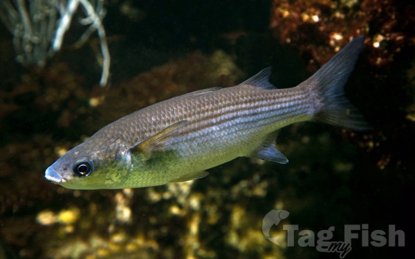
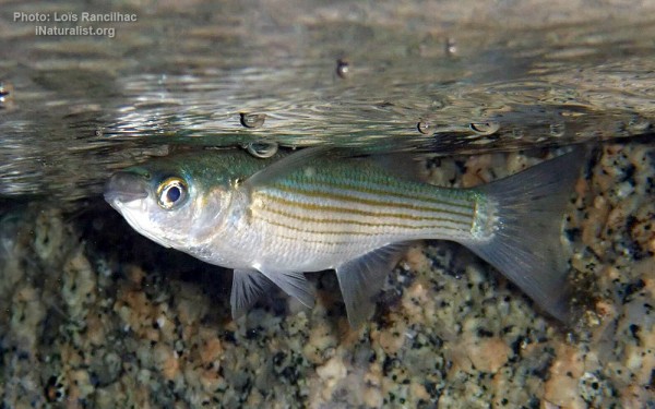
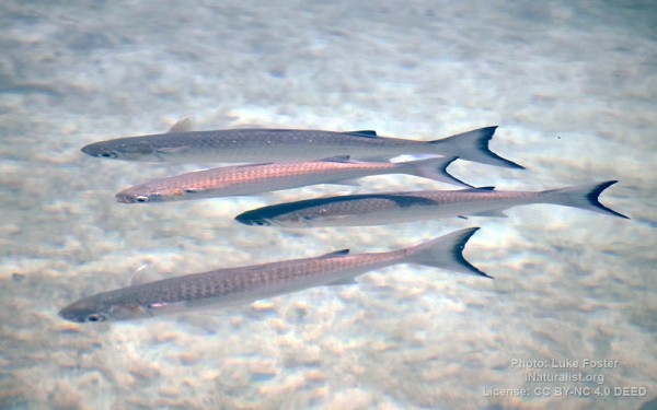
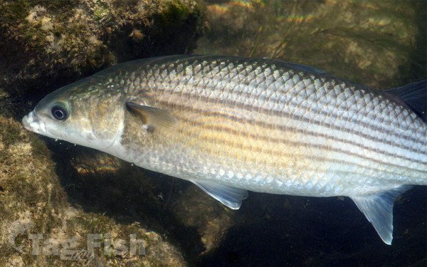
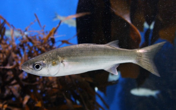
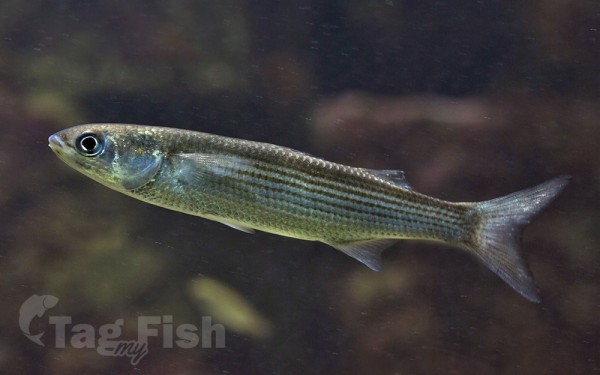
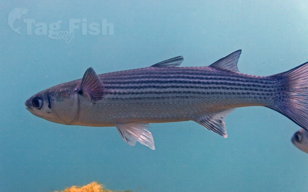
Mugiliformes - Mullets
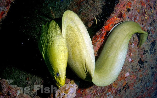
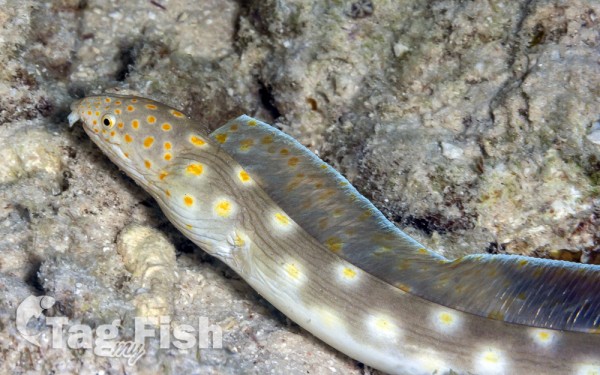
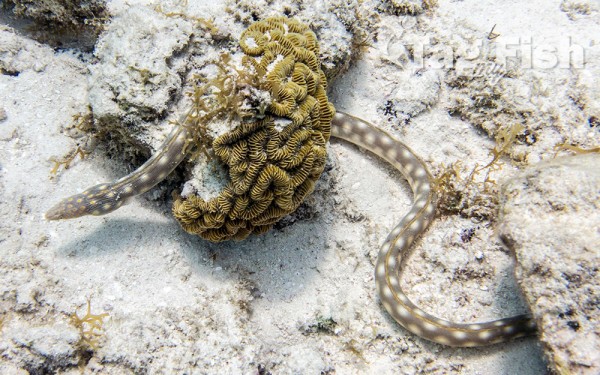
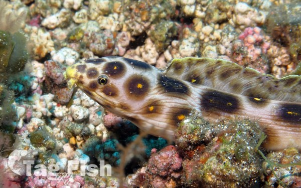
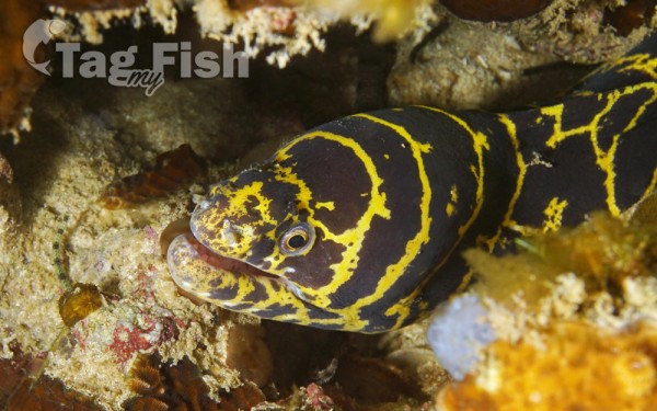
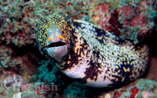
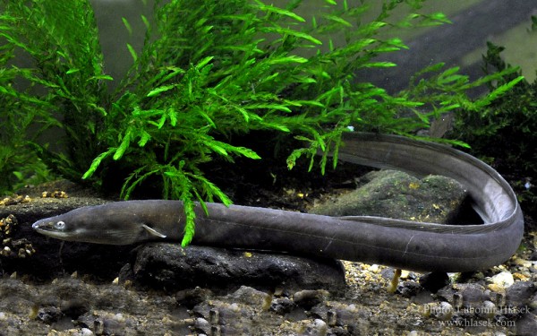
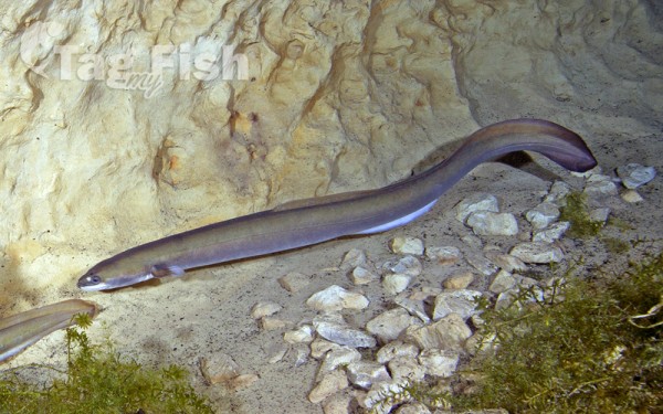
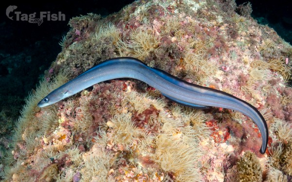
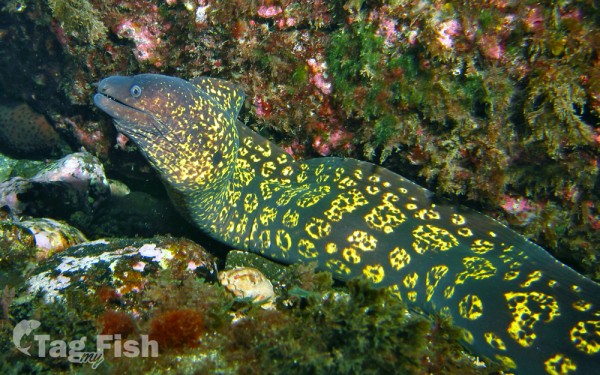
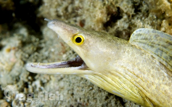
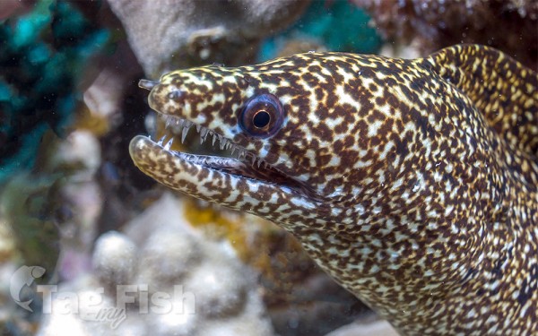
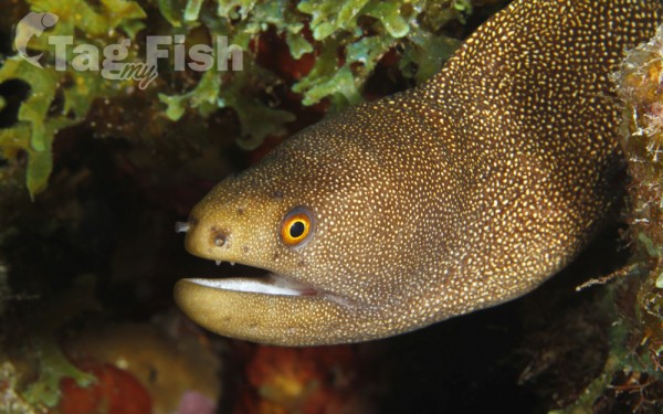
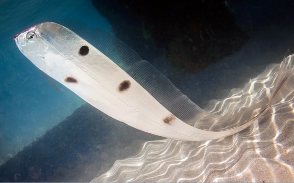
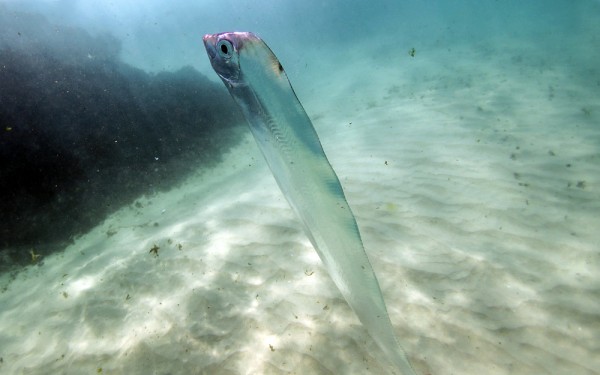
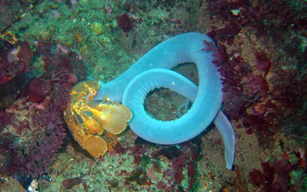
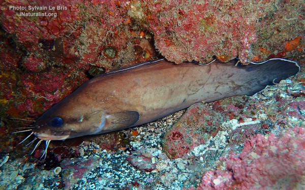
Anguilliformes - Eels and morays
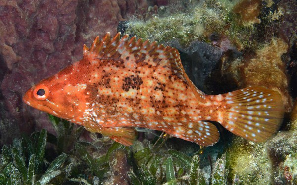
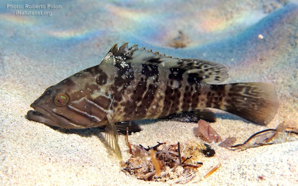
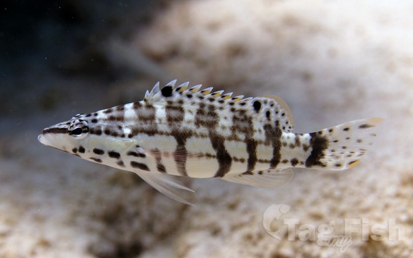
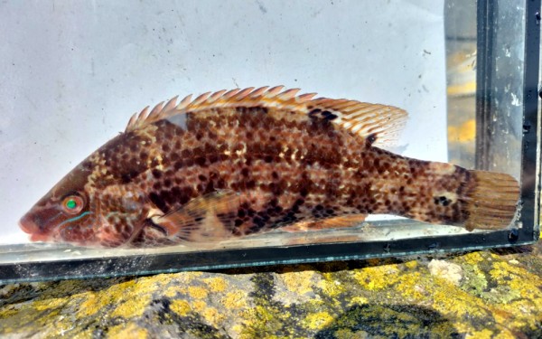
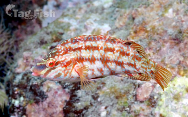
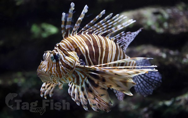
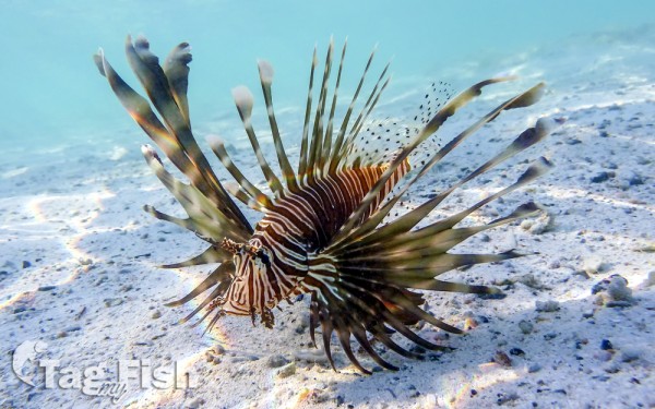
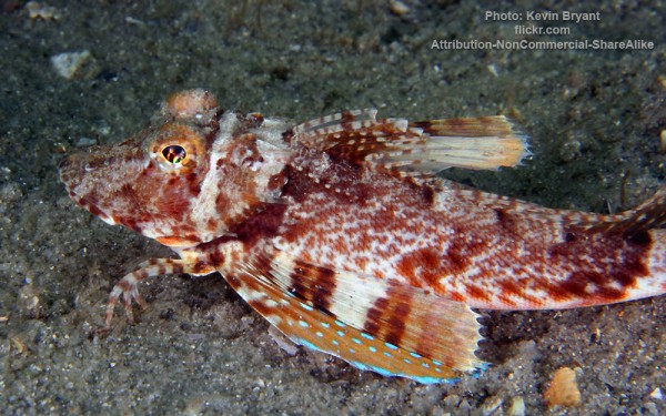
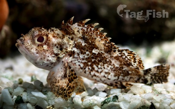
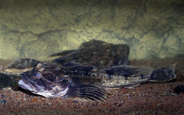
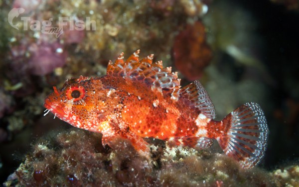
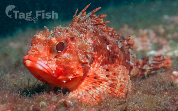
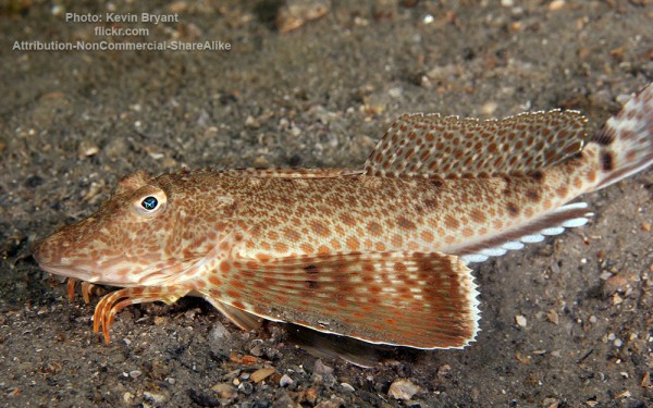
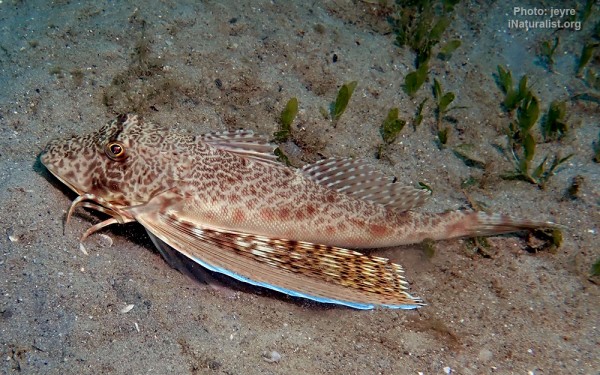
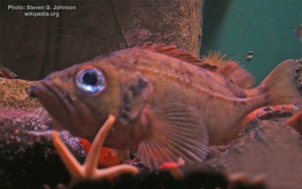
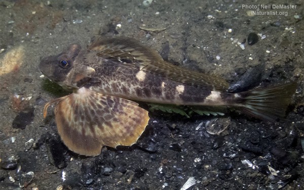
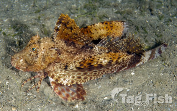
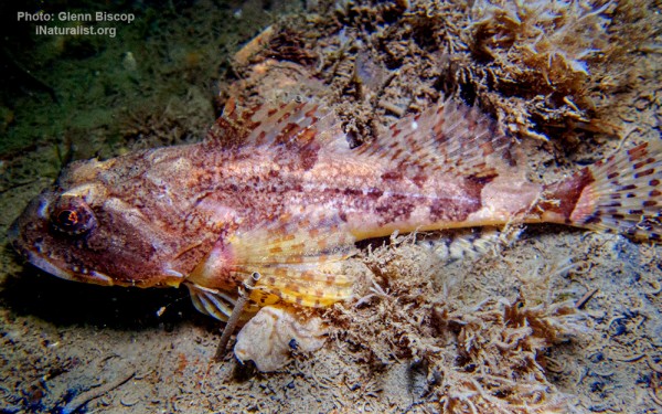
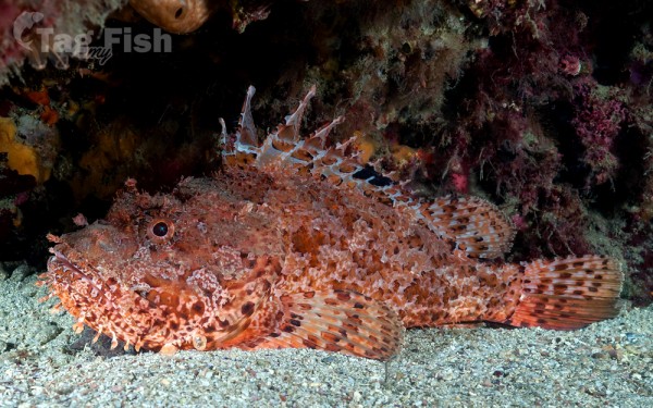
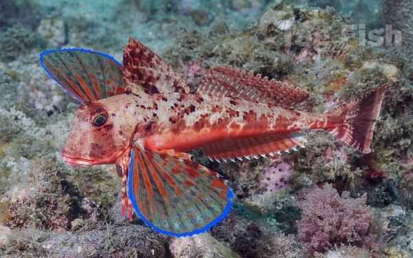
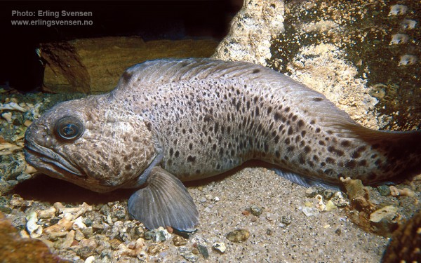
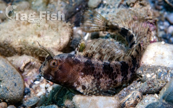
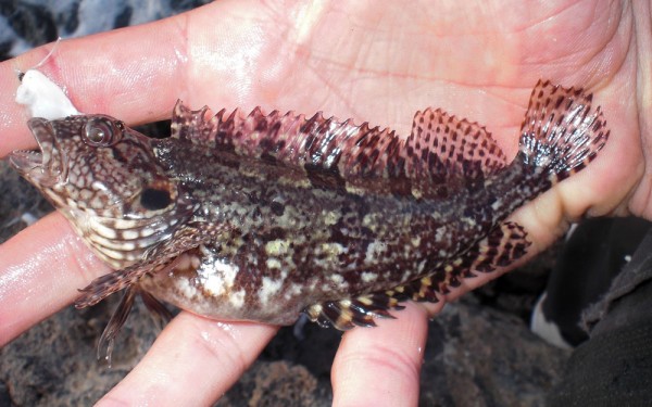
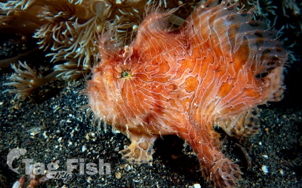
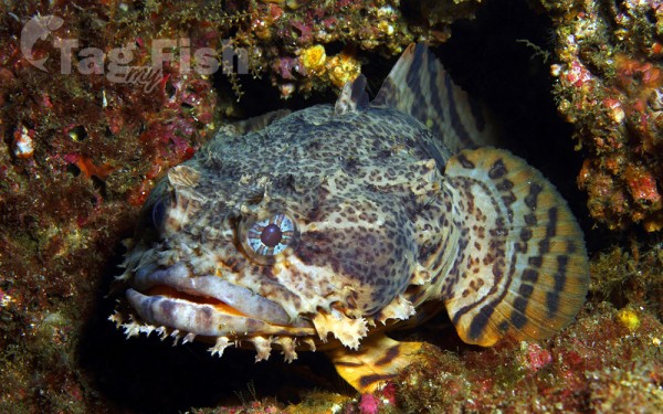
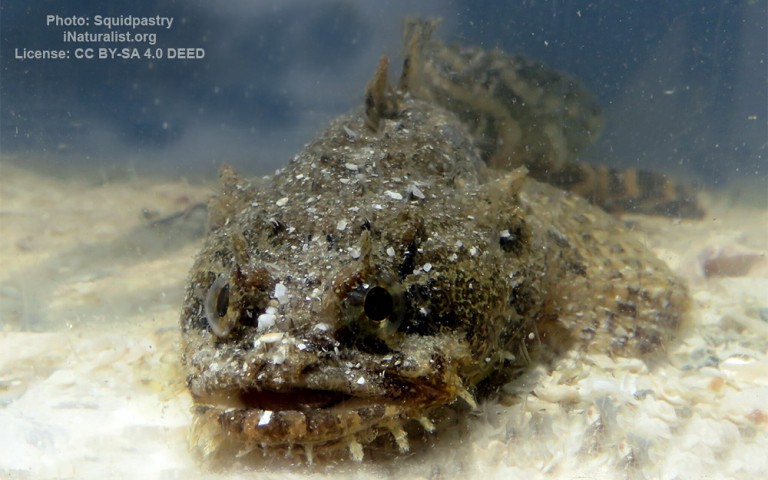
Scorpaeniformes - Mail-cheeked fishes


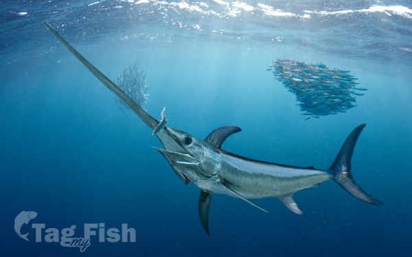
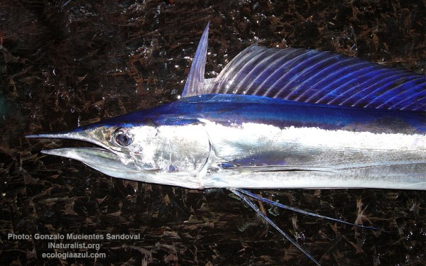
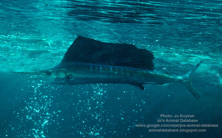
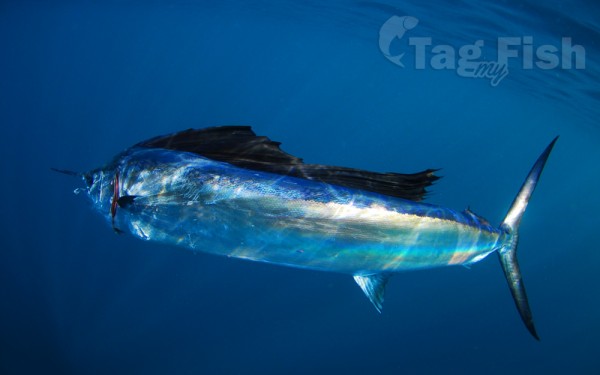
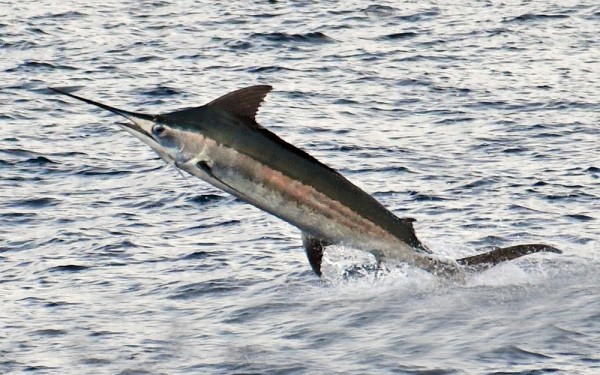
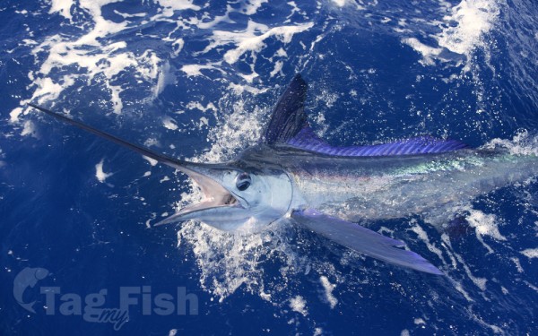
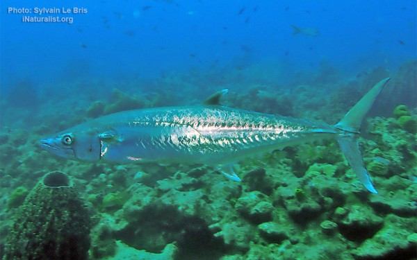
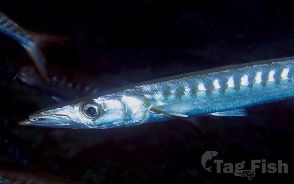
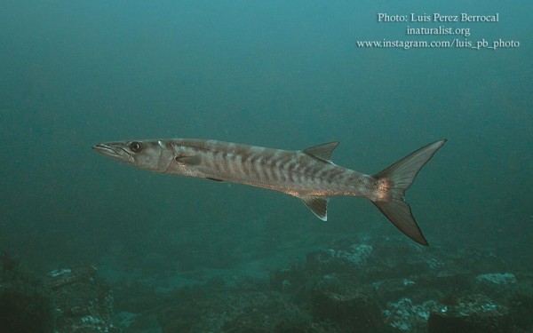
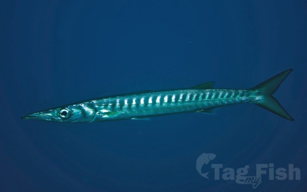
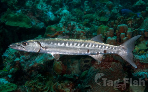
Istiophoriformes - Barracudas
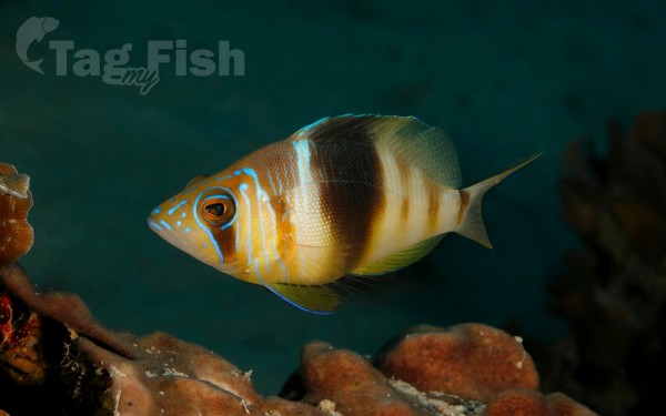
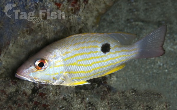
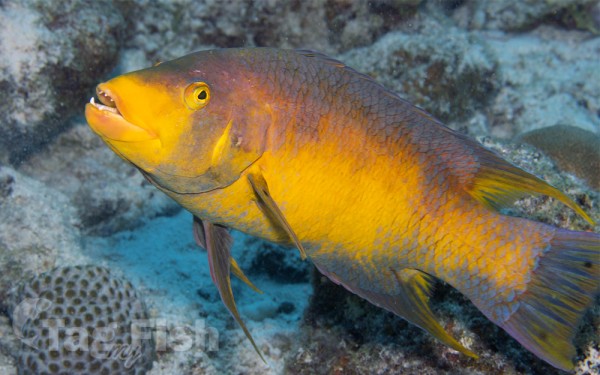
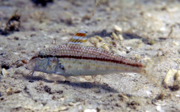
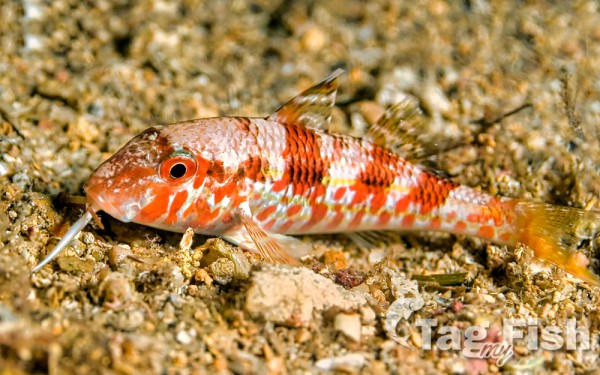
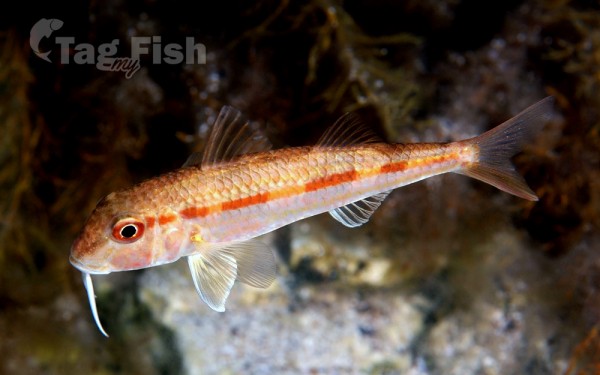
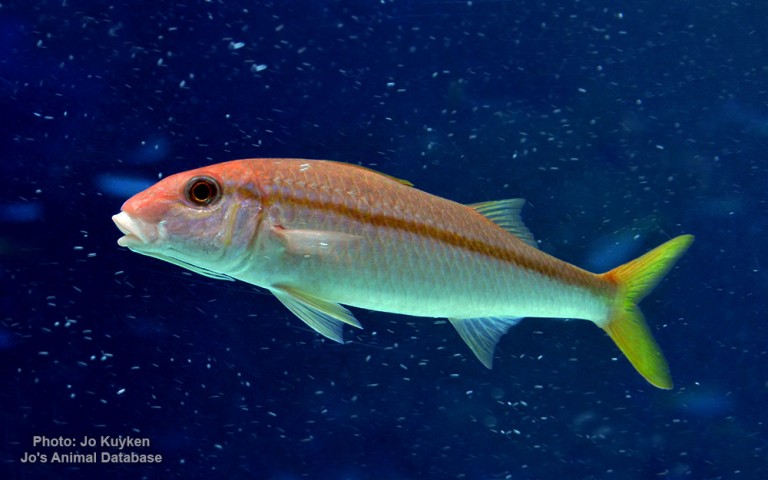
Mulliformes - Goatfishes
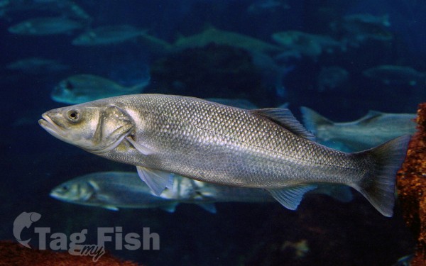
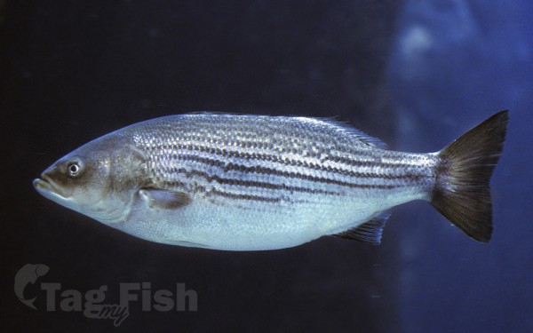
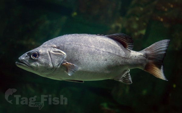
Moroniformes - Temperate basses

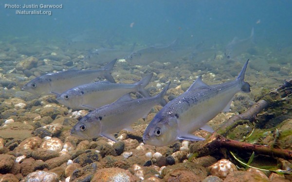
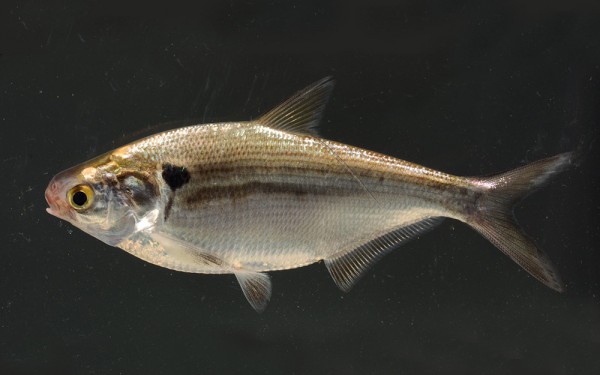
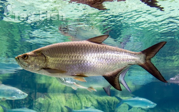
Elopiformes - Tarpons and tenpounders
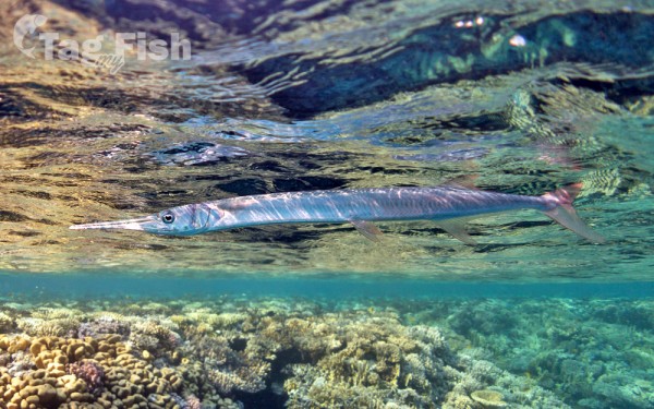
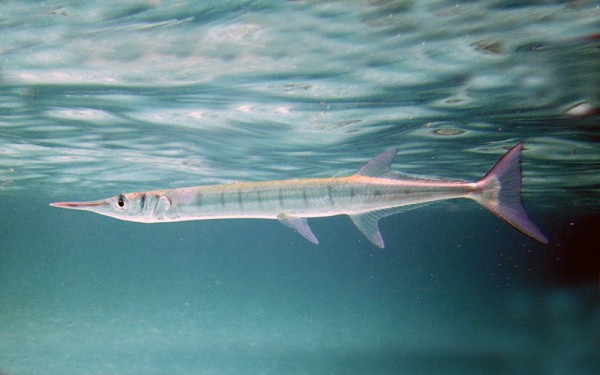
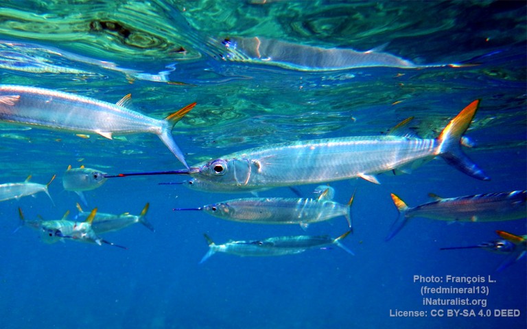
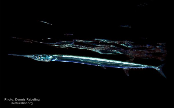
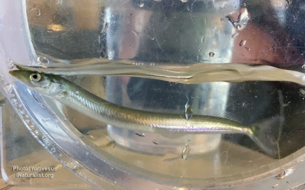
Beloniformes - Needlefishes
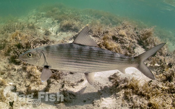
Albuliformes - Bonefishes
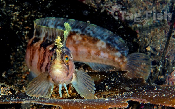
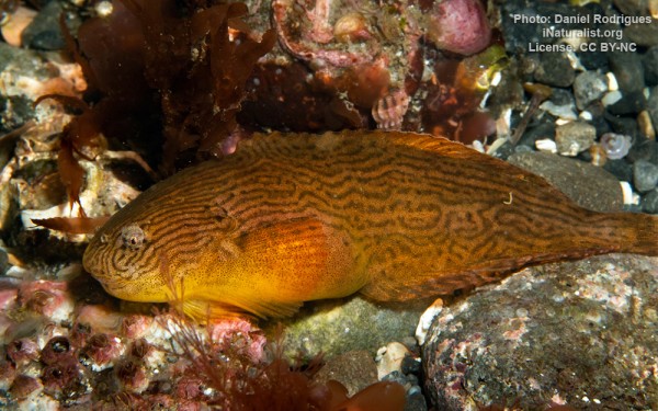
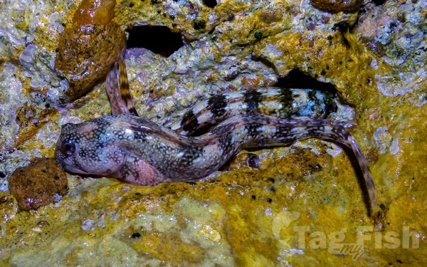
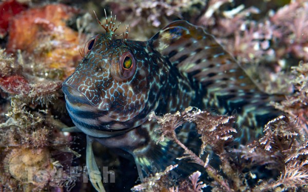
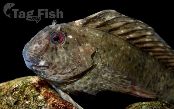
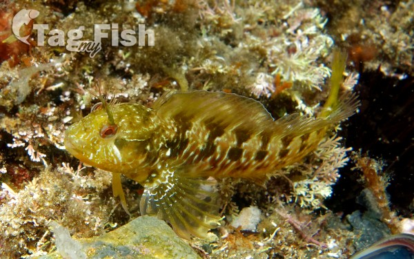
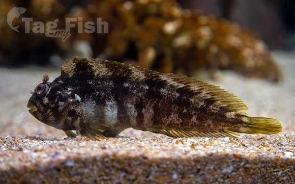
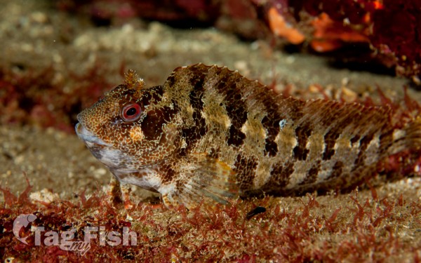
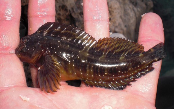
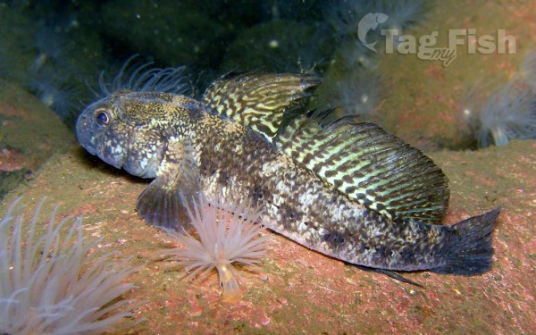
Blenniiformes - Blennies


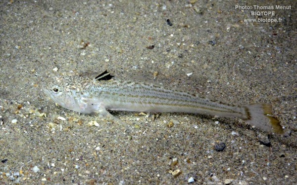
Trachiniformes - Weeverfishes
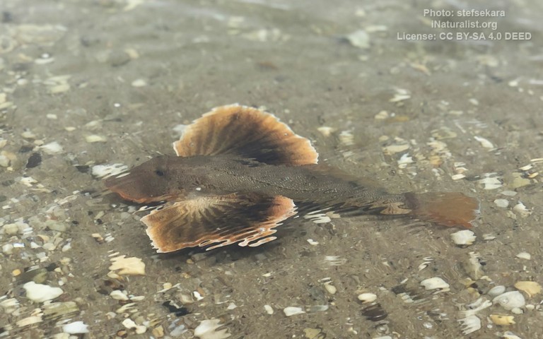
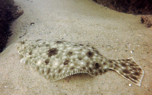
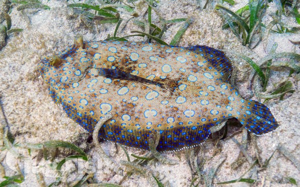
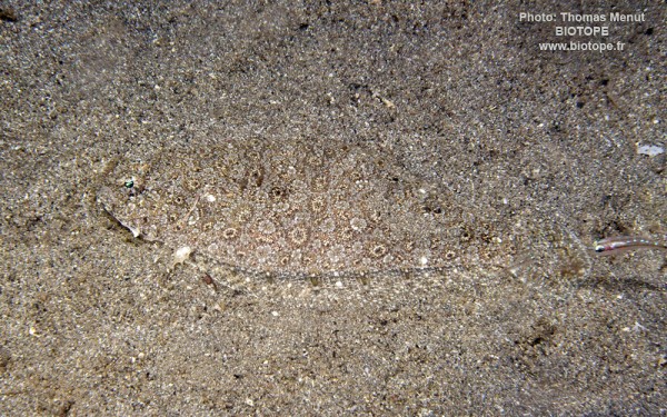
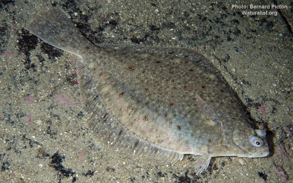
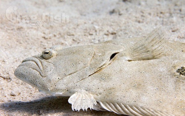
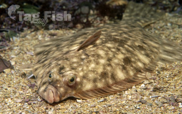
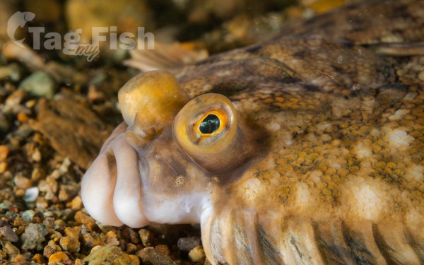
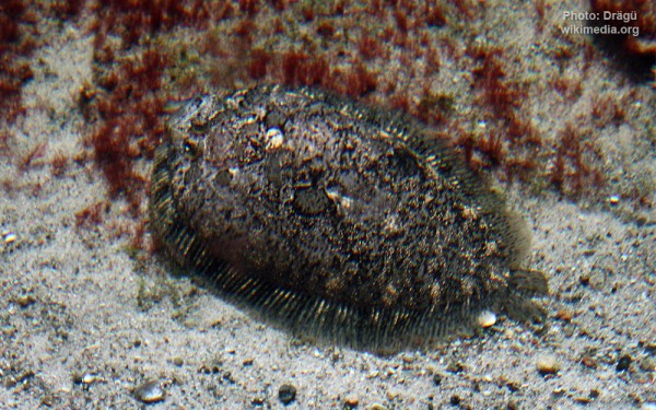
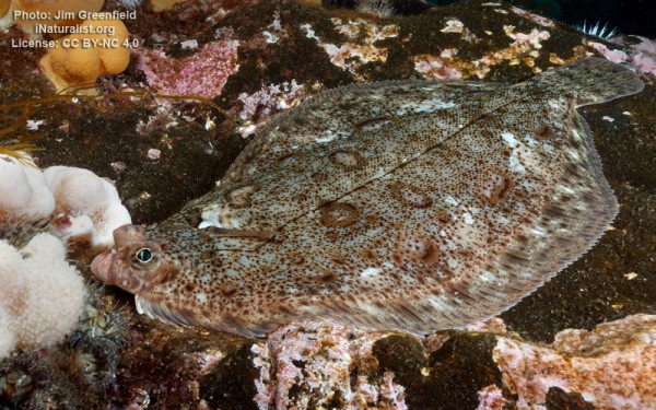
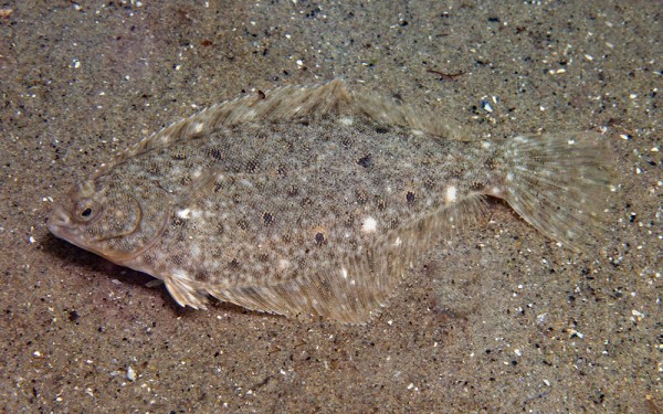
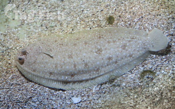
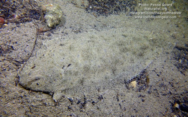
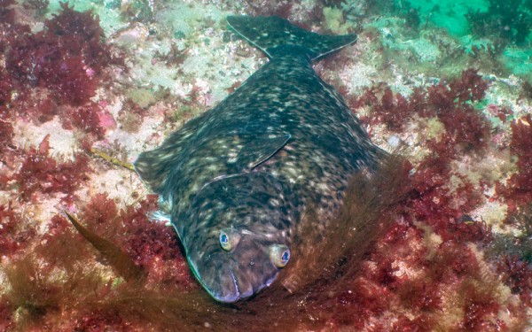
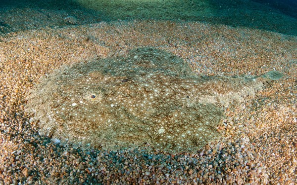
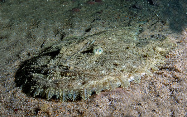
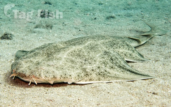
Pleuronectiformes - Flatfishes


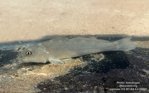
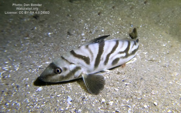
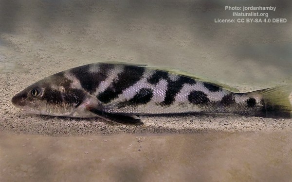
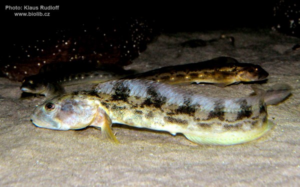
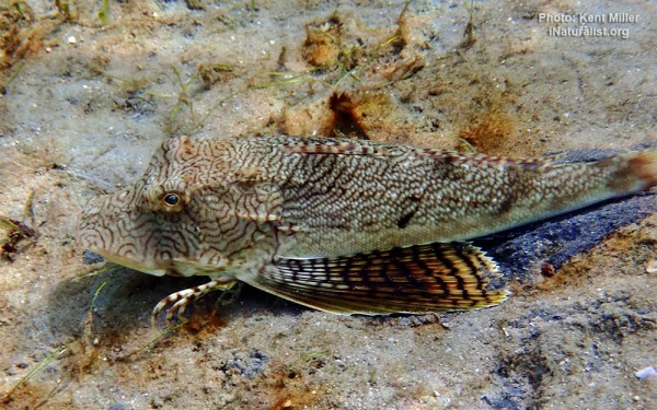
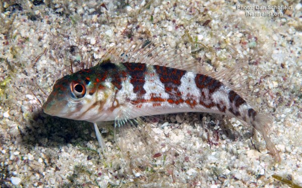
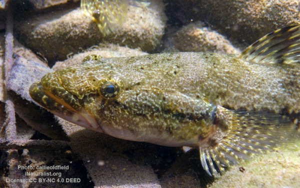
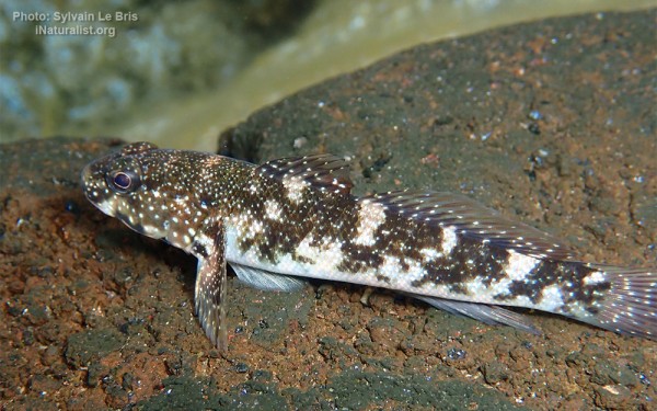
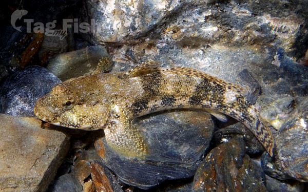
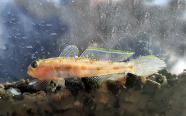
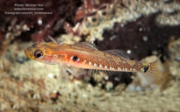
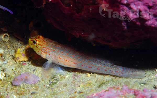
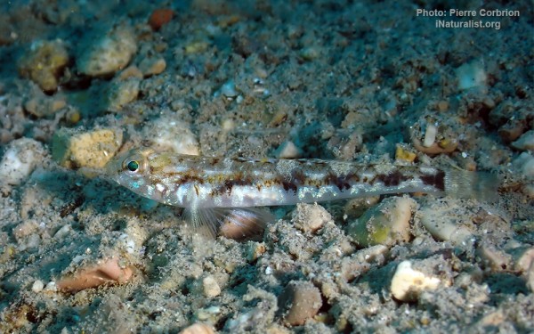
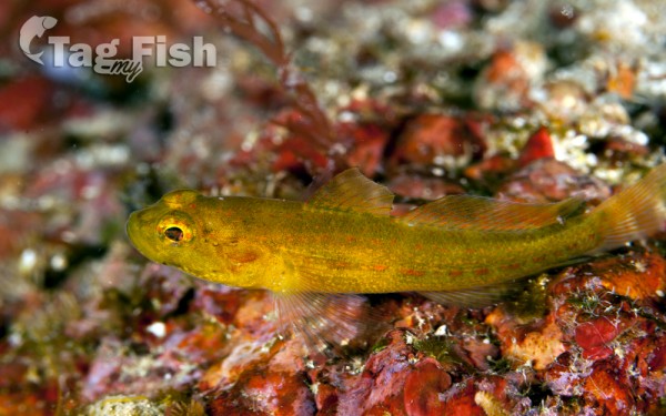
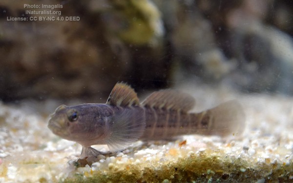
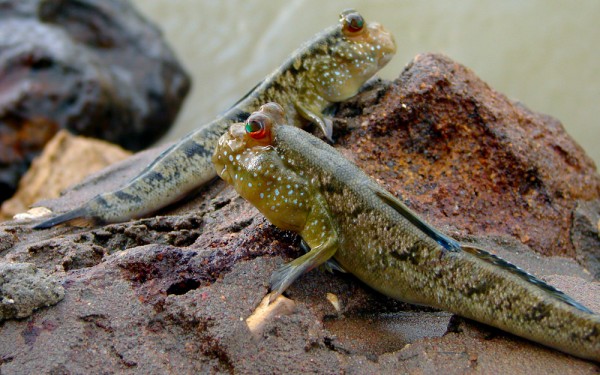
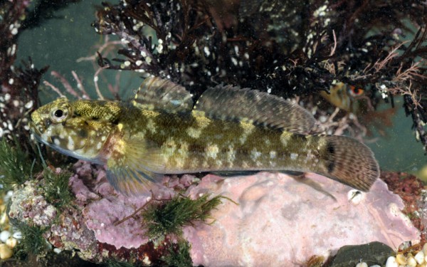
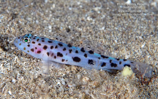
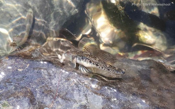
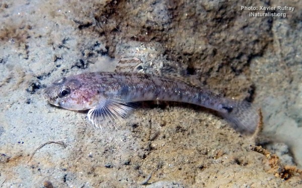
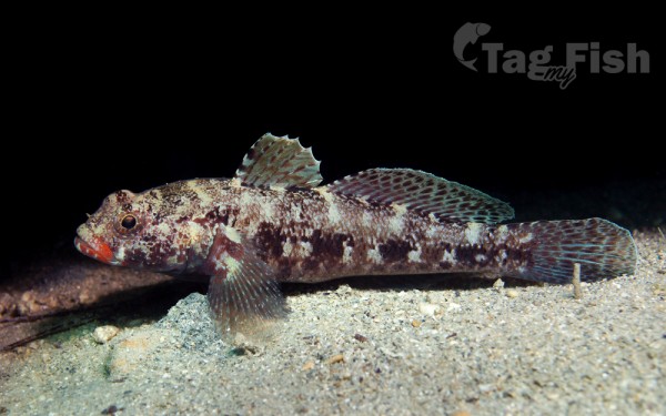
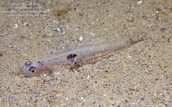
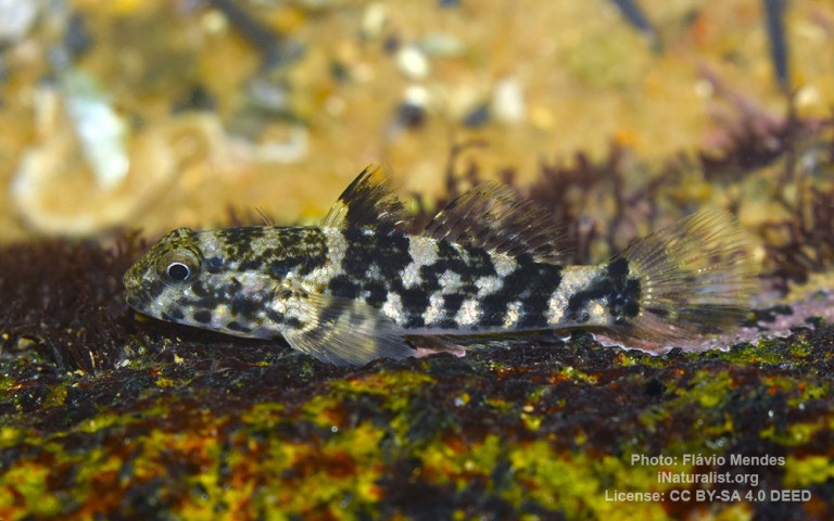
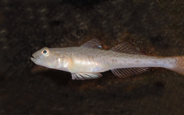
Gobiiformes - Gobies
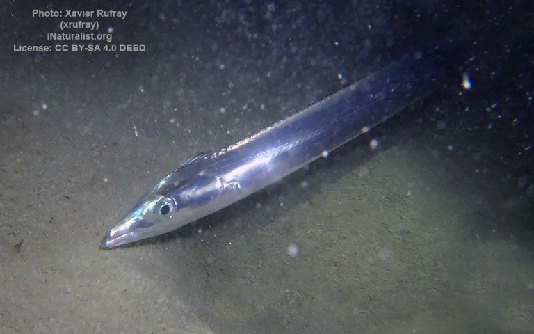
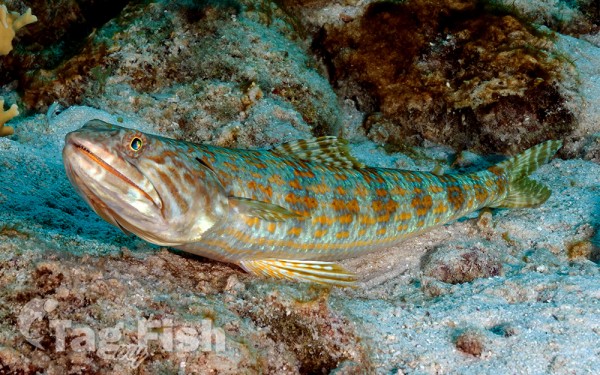
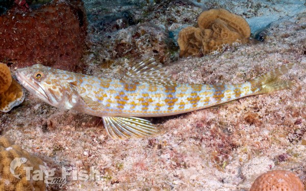
Aulopiformes - Grinners
Gasterosteiformes - Sticklebacks

Acropomatiformes - Oceanic basses
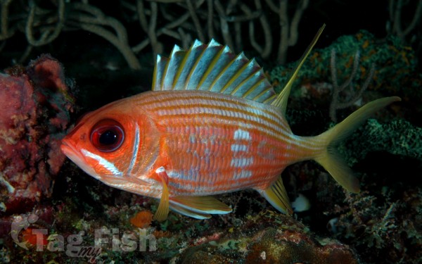
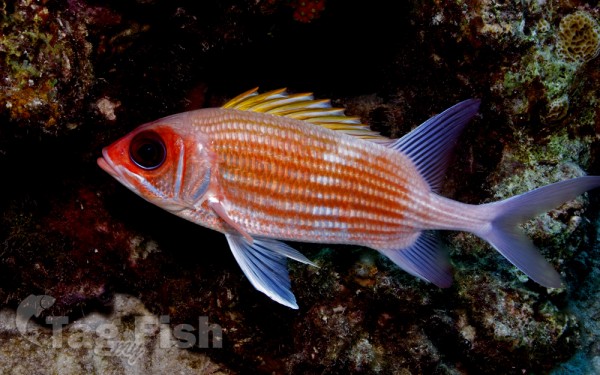
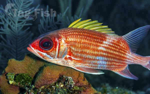
Holocentriformes - Squirrelfishes
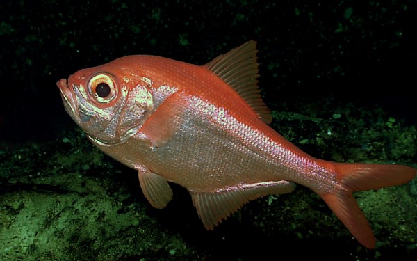
Beryciformes - Sawbellies
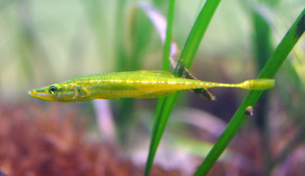
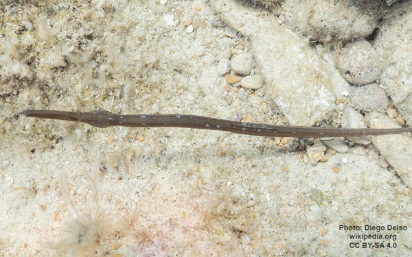
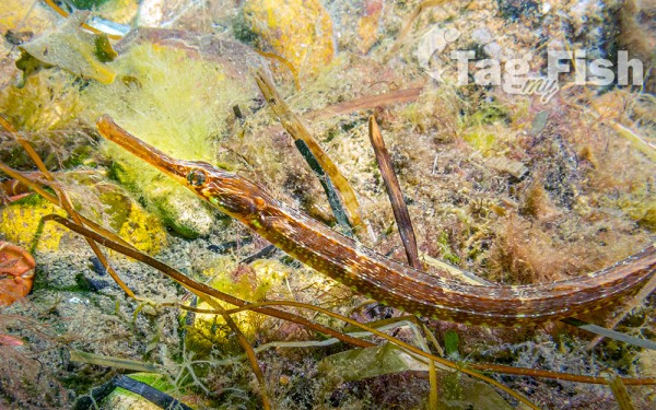
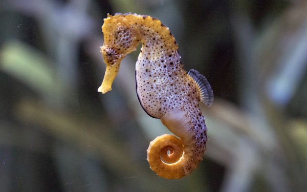
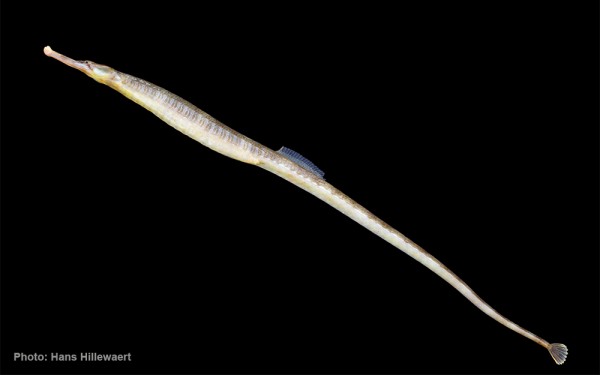
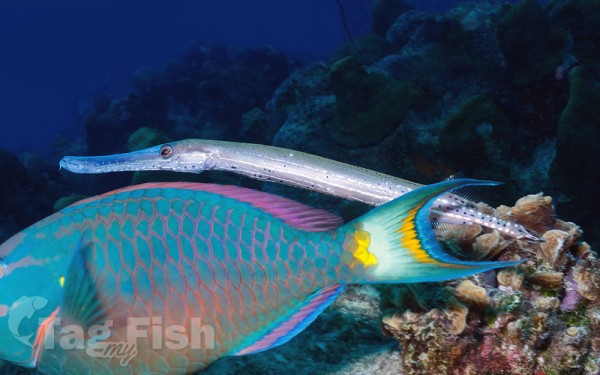
Syngnathiformes - Pipefishes and Seahorses
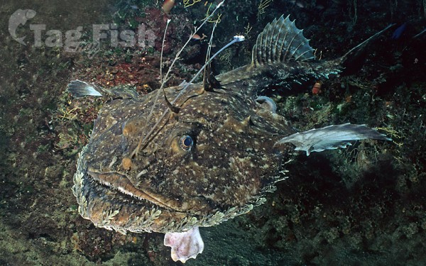
Lophiiformes - Anglerfishes
Lampriformes - Lamprids

Kurtiformes - Nurseryfishes & Cardinalfishes
Dactylopteriformes - Flying gurnards
Atheriniformes - Silversides
Osmeriformes - Smelts
Argentiniformes - Marine smelts
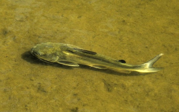
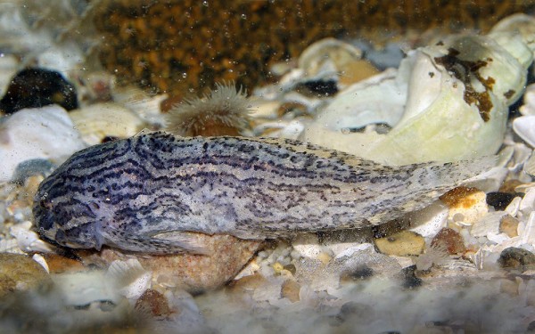
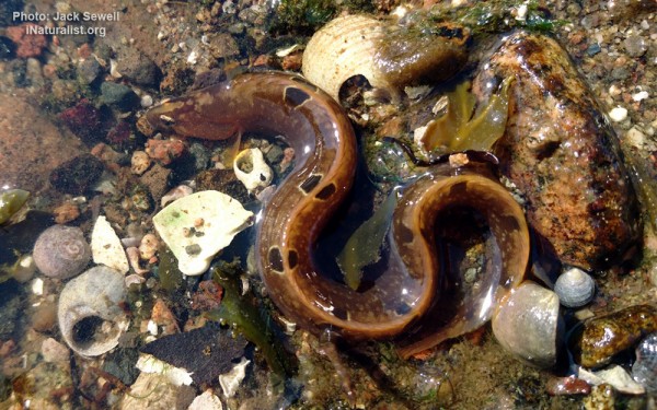
Myxiniformes - Hagfishes
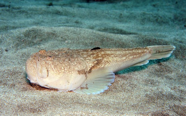
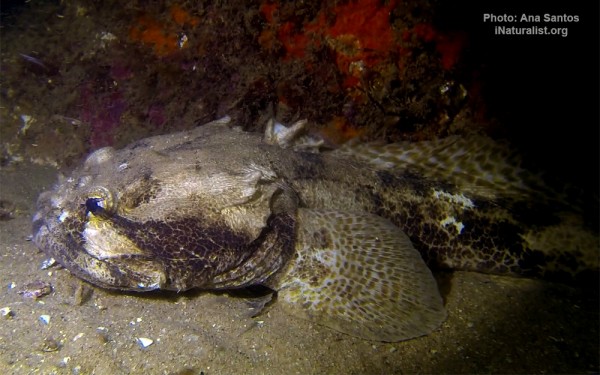
Batrachoidiformes - Toadfishes
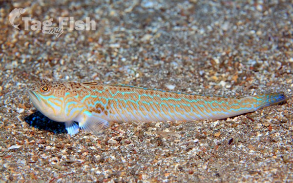
Callionymiformes - Dragonets
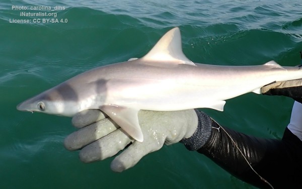
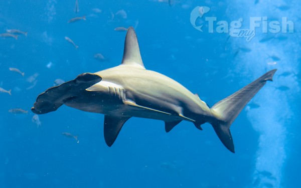
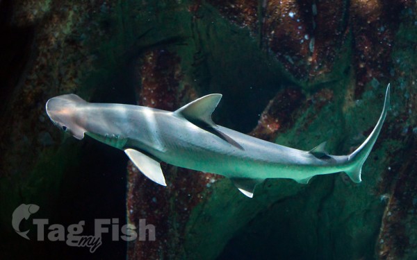
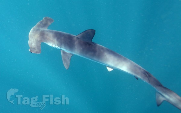
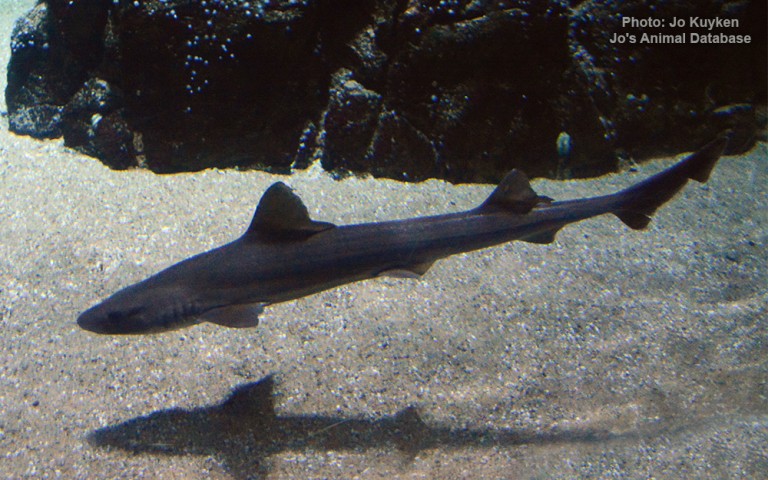
Carcharhiniformes - Ground sharks
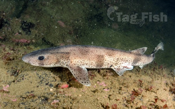
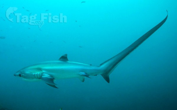
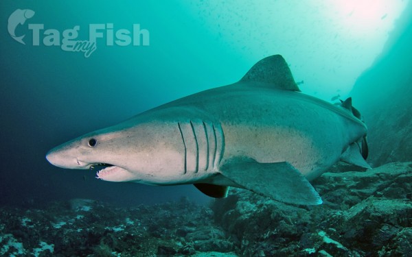
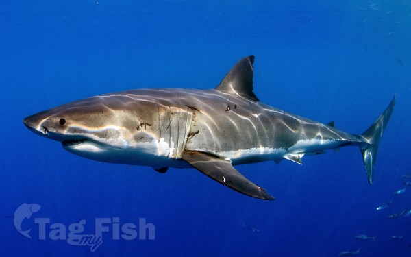
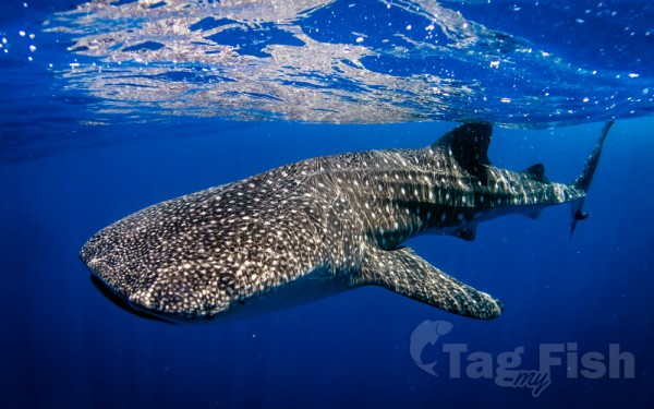
Lamniformes - Mackerel sharks
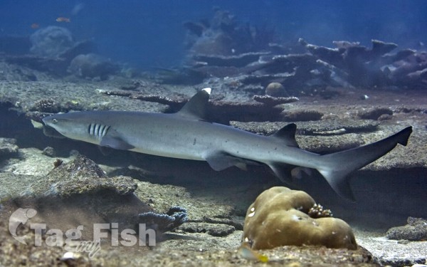
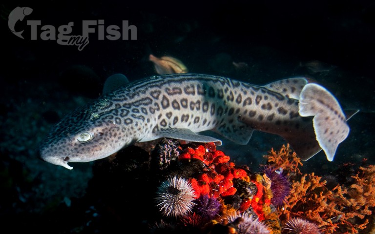
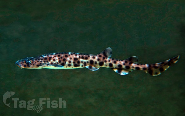
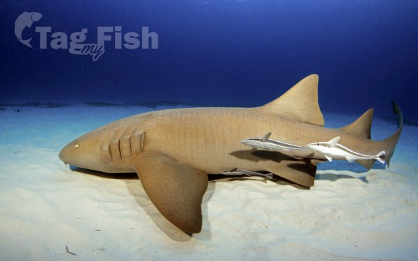
Orectolobiformes - Carpet shark
Hexanchiformes - Six-gill sharks
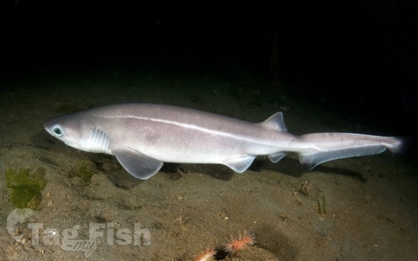
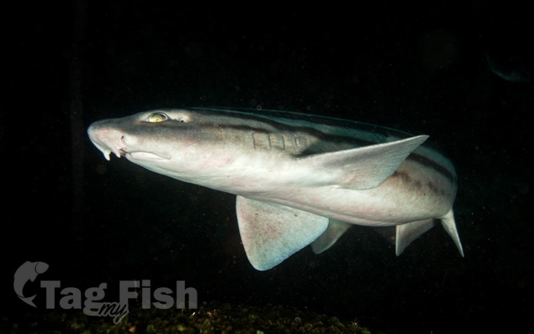
Squaliformes - Sleeper and dogfish sharks


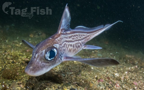
Chimaeriformes - Chimaeras
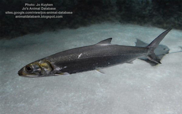
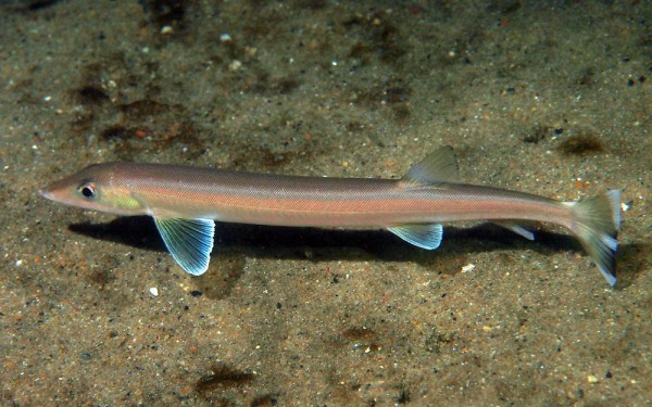
Gonorynchiformes - Milkfishes
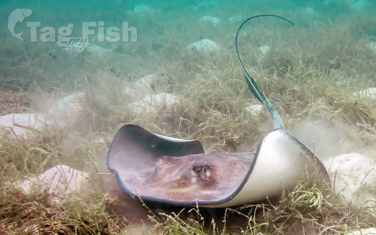
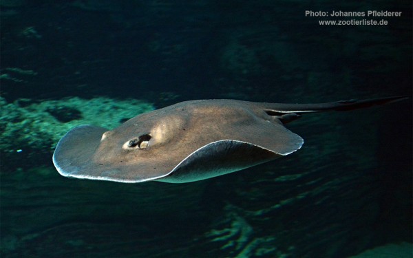
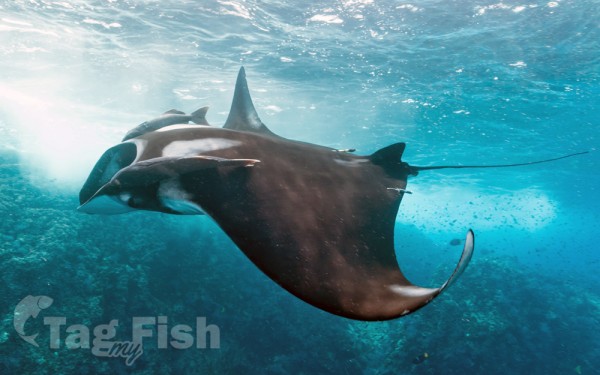
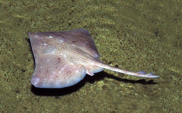
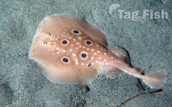
Myliobatiformes - Stingrays
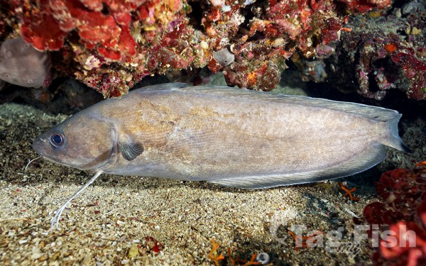
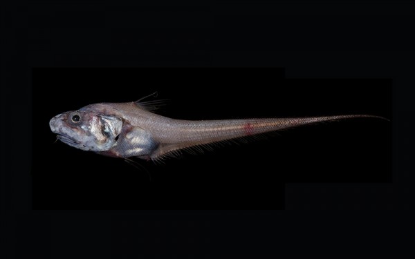
Ophidiiformes - Cusk-eels
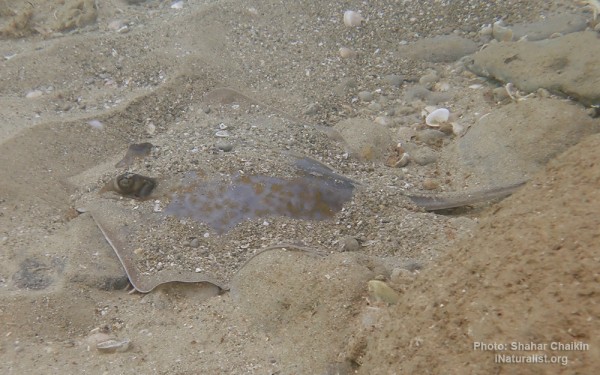
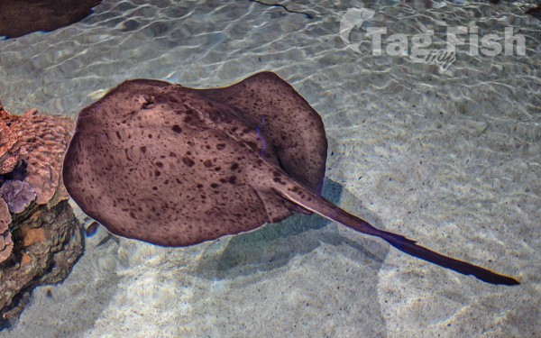
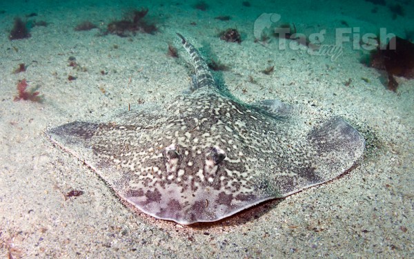
Rajiformes - Skates and rays
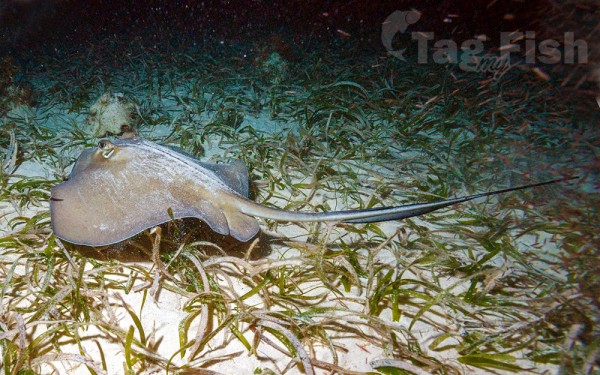
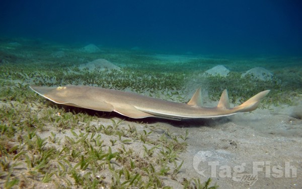
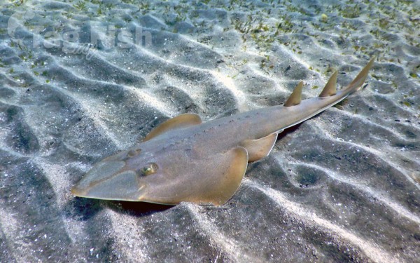
Rhinopristiformes - Shovelnose rays
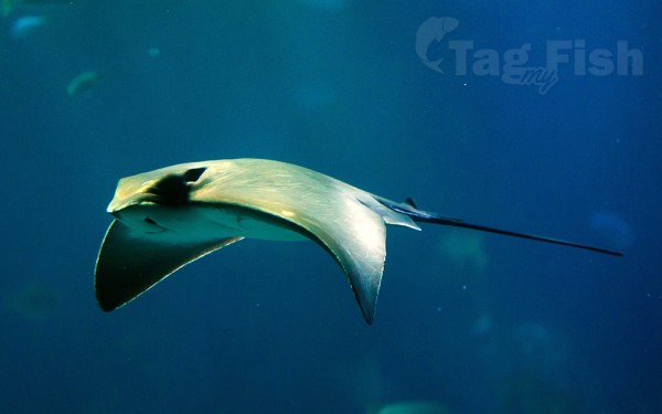
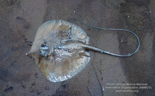
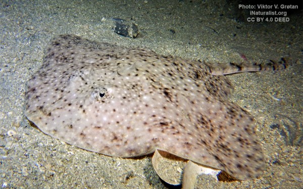
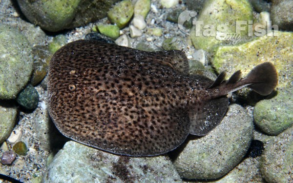
Torpediniformes - Electric rays
Saccopharyngiformes - Swallowers and Gulpers
Myctophiformes - Lanternfishes
Stylephoriformes - Tube-eyes
Notacanthiformes - Spiny eels
Squatiniformes - Angelsharks
Clupeiformes - Herrings
Cyprinodontiformes - Toothcarps
Perciformes - Perches
Salmoniformes - Salmons and Trouts
Siluriformes - Catfishes
Centrarchiformes - Basses and sunfishes
Acipenseriformes - Sturgeons and Paddlefish
Gadiformes - Cods
Spariformes - Breams and porgies
Zeiformes - Dories
Carangiformes - Jacks
Labriformes - Wrasses
Acanthuriformes - Surgeonfishes
Scombriformes - Mackerels
Tetraodontiformes - Puffers and filefishes
Mugiliformes - Mullets
Anguilliformes - Eels and morays
Scorpaeniformes - Mail-cheeked fishes
Istiophoriformes - Barracudas
Mulliformes - Goatfishes
Moroniformes - Temperate basses
Elopiformes - Tarpons and tenpounders
Beloniformes - Needlefishes
Albuliformes - Bonefishes
Blenniiformes - Blennies
Trachiniformes - Weeverfishes
Pleuronectiformes - Flatfishes
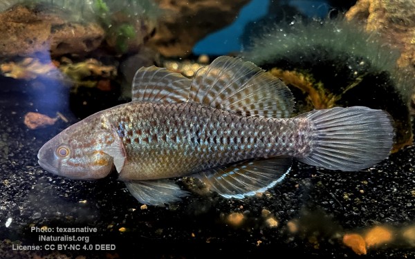
Gobiiformes - Gobies
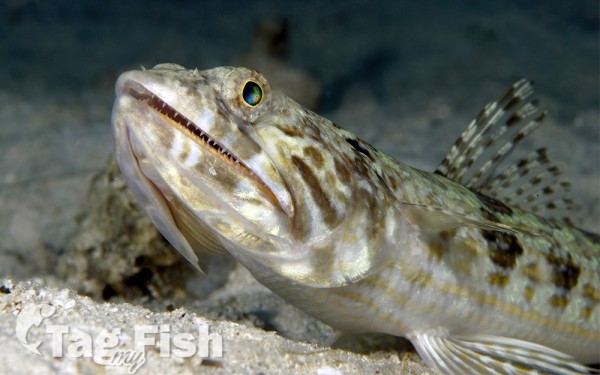
Aulopiformes - Grinners
Gasterosteiformes - Sticklebacks
Acropomatiformes - Oceanic basses
Holocentriformes - Squirrelfishes
Beryciformes - Sawbellies
Syngnathiformes - Pipefishes and Seahorses
Lophiiformes - Anglerfishes
Lampriformes - Lamprids
Kurtiformes - Nurseryfishes & Cardinalfishes
Dactylopteriformes - Flying gurnards
Atheriniformes - Silversides
Osmeriformes - Smelts
Argentiniformes - Marine smelts
Myxiniformes - Hagfishes
Batrachoidiformes - Toadfishes
Callionymiformes - Dragonets
Carcharhiniformes - Ground sharks
Lamniformes - Mackerel sharks
Orectolobiformes - Carpet shark
Hexanchiformes - Six-gill sharks
Squaliformes - Sleeper and dogfish sharks
Chimaeriformes - Chimaeras
Gonorynchiformes - Milkfishes
Myliobatiformes - Stingrays
Ophidiiformes - Cusk-eels
Rajiformes - Skates and rays
Rhinopristiformes - Shovelnose rays
Torpediniformes - Electric rays
Saccopharyngiformes - Swallowers and Gulpers
Myctophiformes - Lanternfishes
Stylephoriformes - Tube-eyes
Notacanthiformes - Spiny eels
Squatiniformes - Angelsharks
Delaware Bay is the estuary outlet of the Delaware River on the northeast seaboard of the United States. Approximately 782 square miles (2,030 km2) in area, the bays fresh water mixes for many miles with the salt water of the Atlantic Ocean.
The bay is bordered inland by the States of Delaware and New Jersey, and the Delaware Capes, Cape Henlopen and Cape May, on the Atlantic. The Delaware Bay is bordered by six counties: Sussex, Kent, and New Castle in Delaware, along with Cape May, Cumberland, and Salem in New Jersey. The Cape May–Lewes Ferry crosses the Delaware Bay from Cape May, New Jersey, to Lewes, Delaware. Management of ports along the bay is the responsibility of the Delaware River and Bay Authority.
The shores of the bay are largely composed of salt marshes and mudflats, with only small communities inhabiting the shore of the lower bay. Besides the Delaware, it is fed by numerous smaller rivers and streams, including (from north to south) the Christina River, Appoquinimink River, Leipsic River, Smyrna River, St. Jones River, Mispillion River, Broadkill River and Murderkill Rivers on the Delaware side, and the Salem River, Cohansey River, and Maurice Rivers on the New Jersey side. Several of the rivers hold protected status for their salt marsh wetlands bordering the bay, which serves as a breeding ground for many aquatic species, including horseshoe crabs. The bay is also a prime oystering ground.


