Largest tributaries
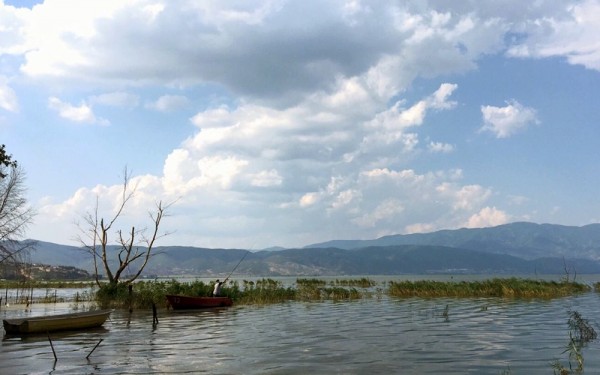
Natural lakes
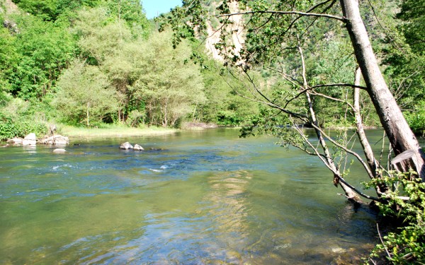
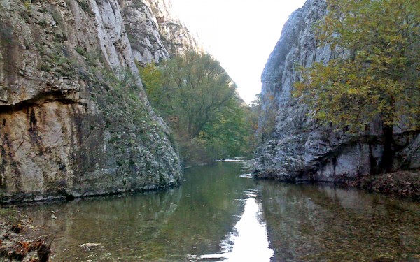
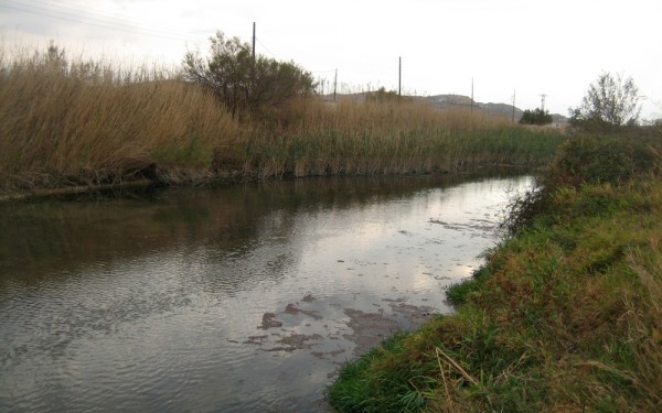
Smaller tributaries
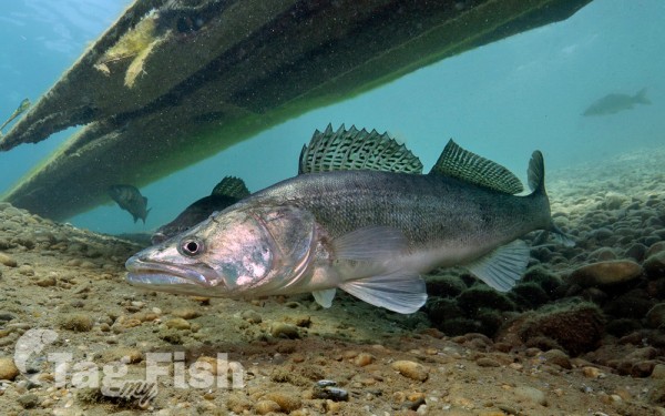
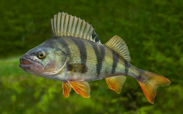
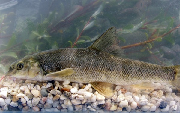
Perciformes - Perches
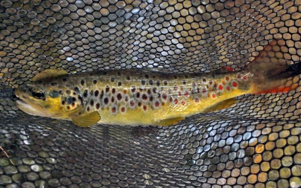
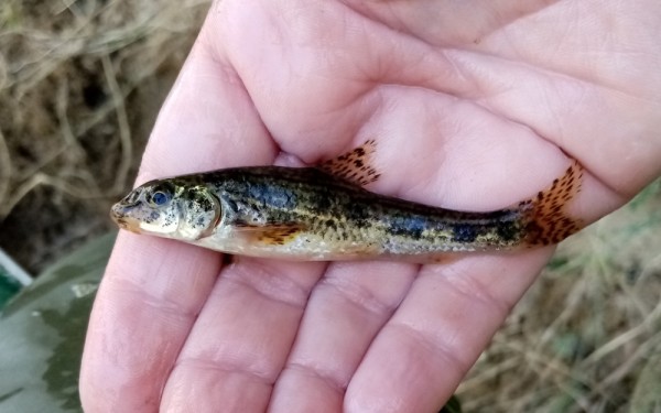
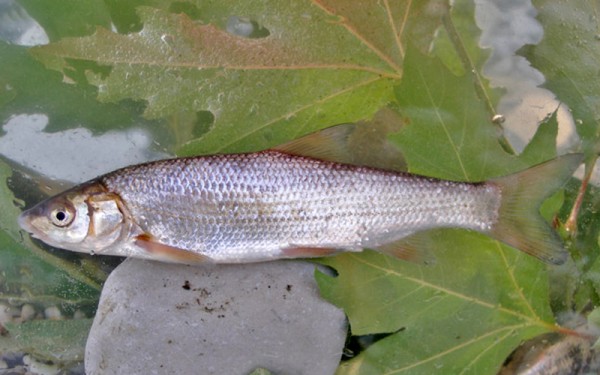
Salmoniformes - Salmons and Trouts
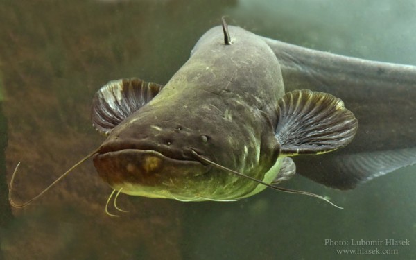
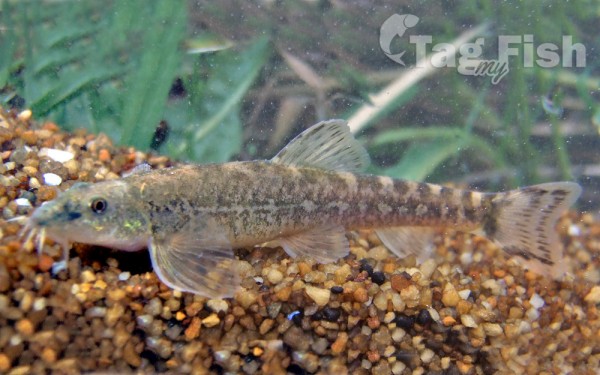
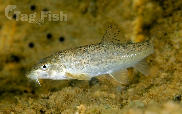
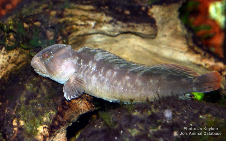
Siluriformes - Catfishes
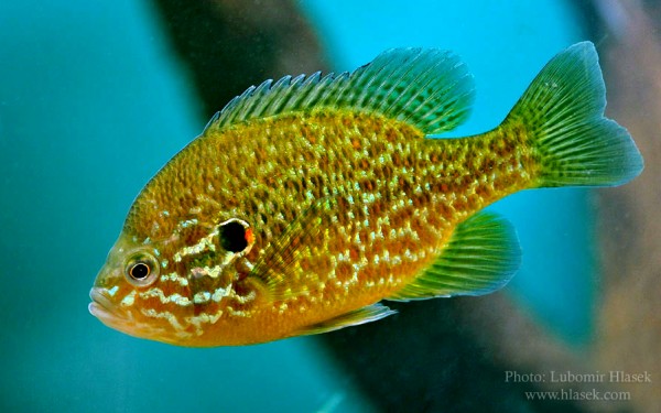
Centrarchiformes - Basses and sunfishes
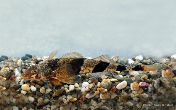
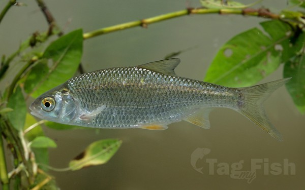
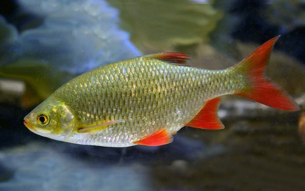
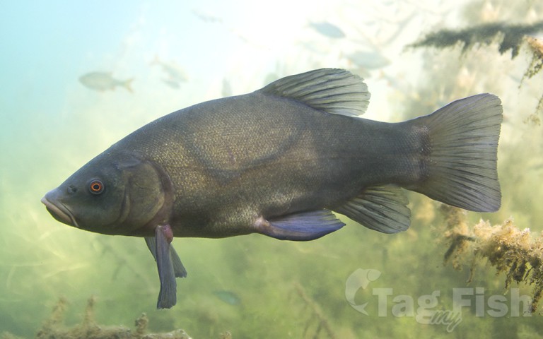
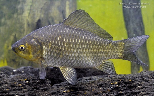
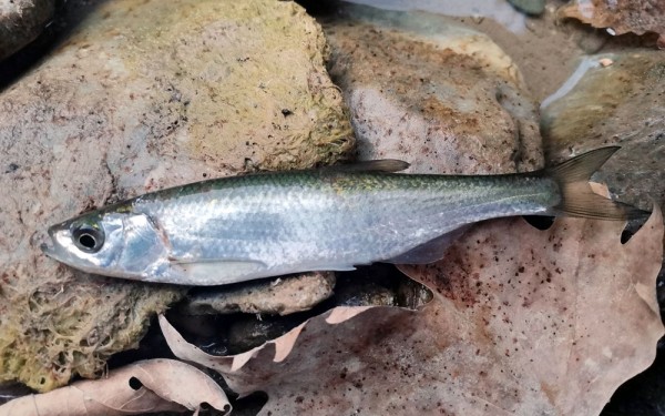
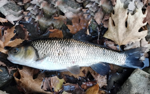
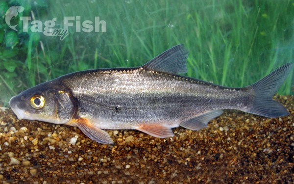
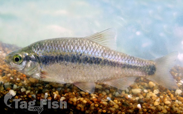
Cypriniformes - Carps
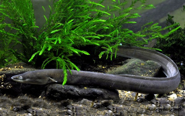
Anguilliformes - Eels and morays
Blenniiformes - Blennies
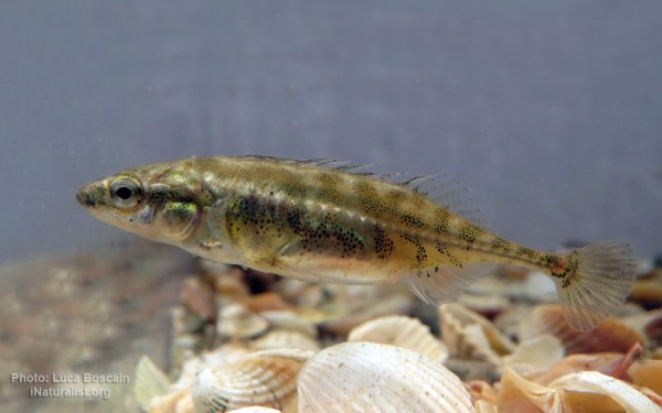
Gasterosteiformes - Sticklebacks
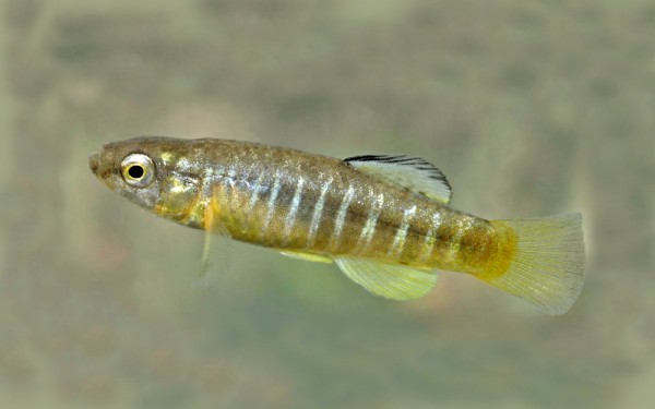
Cyprinodontiformes - Toothcarps
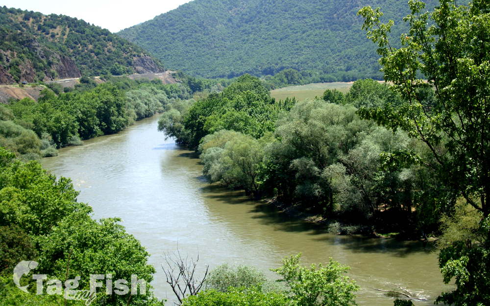
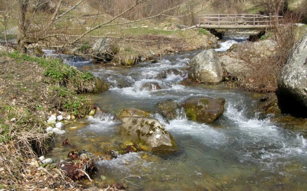
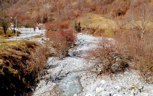
The Vardar or Axios is the longest river in North Macedonia and the second-longest river in Greece, in which it reaches the Aegean Sea at Thessaloniki.
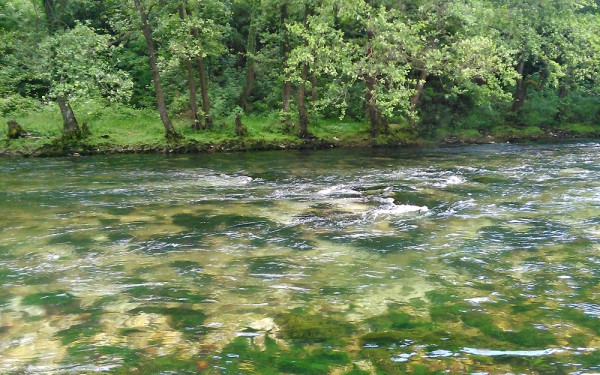
It is 388 km (241 mi) long, out of which 76 km are in Greece, and drains an area of around 25,000 km2 (9,653 sq mi). The maximum depth of the river is 4 m (13 ft).
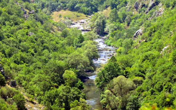
The river rises at Vrutok, a few kilometers southwest of Gostivar in North Macedonia. It passes through Gostivar, Skopje, and into Veles, crosses the Greek border near Gevgelija, Polykastro, and Axioupoli (the town on the Axiós), before emptying into the Aegean Sea in Central Macedonia, west of Thessaloniki in northern Greece.
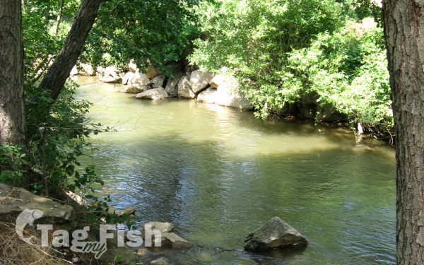
The Vardar basin comprises two-thirds of the territory of North Macedonia. The valley features fertile lands in the Polog region, around Gevgelija, and in the Thessaloniki regional unit.