
Artificial lakes


Salmoniformes - Salmons and Trouts
The Ter is a river in Catalonia, Spain.
It rises in the Ulldeter, a glacial cirque in the East Pyrenees, at an approximate elevation of 2,400 metres (7,900 ft). At heights of around 3,000 metres (9,800 ft), the nearby peaks bordering the Ulldeter—the Bastiments, the Gra de Fajol, and the Pic de la Dona—supply its headwaters. The river runs through the comarques of Ripollès, Osona, Selva, Gironès, and Baix Empordà, discharging into the Mediterranean Sea at l’Estartit.
The Ter follows a course of 208 kilometres (129 mi) and drains an area of approximately 3,010 square kilometres (1,160 sq mi); its basin is described by a dendritic (branching, tree-like) and exorheic drainage pattern. Annually, an average of 840 cubic hectometres (680,000 acre⋅ft) of water is moved by the river, with an average flow rate of 25 cubic metres per second (880 cu ft/s) at its mouth.
Although its headwaters are in the Pyrenees, the Ter receives significant inflow from rivers in the middle and lower plains. Thus it is susceptible to flooding in both the spring and the autumn.
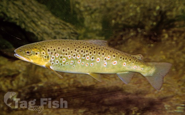
Fishing
Between Osona and La Selva is the Sau-Susqueda-Pasteral reservoir system.
Above the reservoirs, there is an extensive fishing area around Ribes de Freser, Ripoll and Camdevanol combining sections of the Ter and Freser rivers.
Below the dam, in the Anglés area, intensive fishing is practised all year round. It is one of the best fishing preserves in Spain and southern Europe and the frequent visits by international fishermen prove it. The guided fly fishing trips organised by Salmon 2000 offer the angler access to the area with better conditions, making the most of the fishing day with the technical advice of our guide.
The Ter River has a population of native brown trout, of medium size in the upper areas of the river and with some specimens that can reach 45cm.

