


The Tanaro is a 276-kilometre (171 mi) long river in northwestern Italy. The river begins in the Ligurian Alps, near the border with France, and is the most significant right-side tributary to the Po in terms of length, size of drainage basin (partly Alpine, partly Apennine), and discharge.
The Tanaro rises at the border between Piedmont and Liguria at the confluence of two smaller streams: the Tanarello and the Negrone.
The main source of the Tanarello is on the slopes of Monte Saccarello above Monesi, a village belonging to the commune of Triora. This mountain straddles the French département of Alpes-Maritimes, the Piedmontese province of Cuneo and the Ligurian province of Imperia and marks the juncture of the watersheds between three drainage basins: Tanaro itself; Roya (Italian: Roia), which rises in France but enters the sea at Ventimiglia; and Argentina, which flows into the Ligurian Sea at Taggia.
The sources of the Negrone are not far from Punta Marguareis and very close to the French border.
The Tanaro flows through the towns of Ormea, Garessio, Ceva, Alba, Asti, and Alessandria before flowing into Po river near Bassignana in the Province of Alessandria. At its confluence with Po, the Tanaro is about 50 km longer than the upper Po,[1] a case similar to the famous Missouri tributary being longer than Mississippi in the United States.
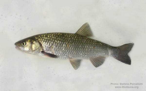
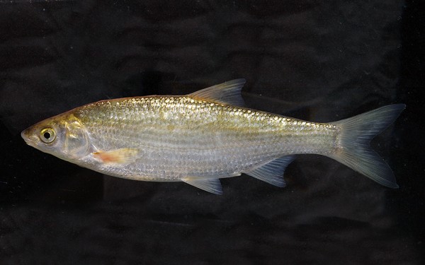
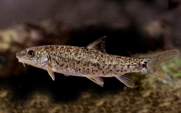
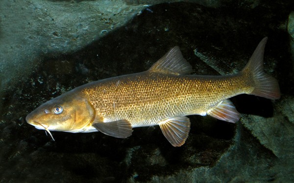
The main tributaries to the Tanaro are the Stura di Demonte, the Pesio, the Ellero and the Borbore from the left and the Bormida and the Belbo from the right.


