Largest tributaries
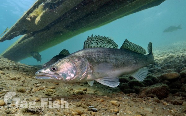
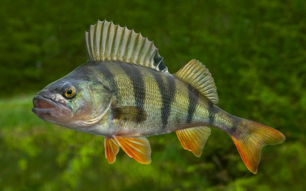
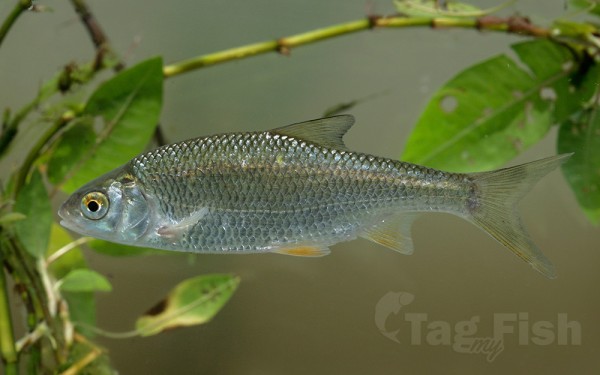
Perciformes - Perches
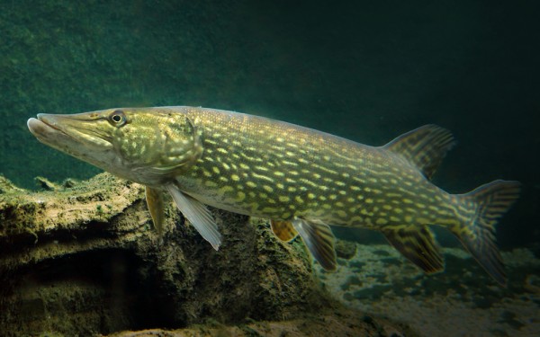
Esociformes - Pikes
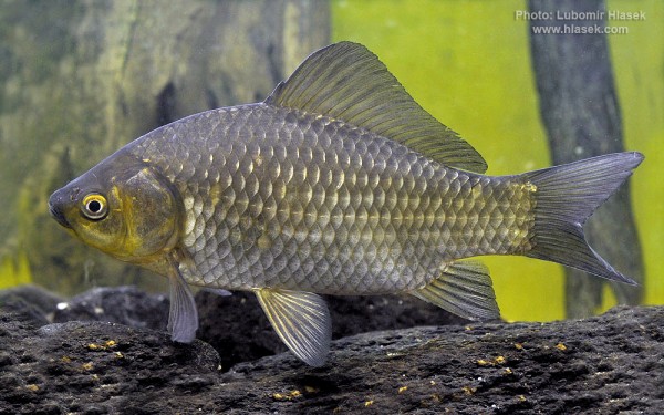
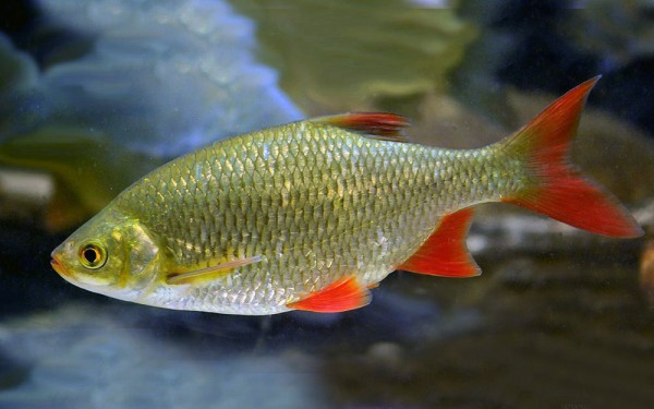
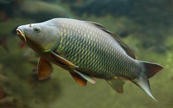
Cypriniformes - Carps
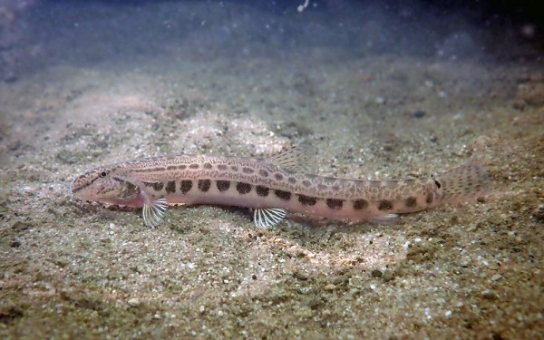
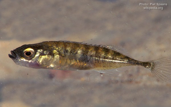
Gasterosteiformes - Sticklebacks
The Scheldt is a 435-kilometre-long (270 mi) river that flows through northern France, western Belgium, and the southwestern part of the Netherlands, with its mouth at the North Sea.
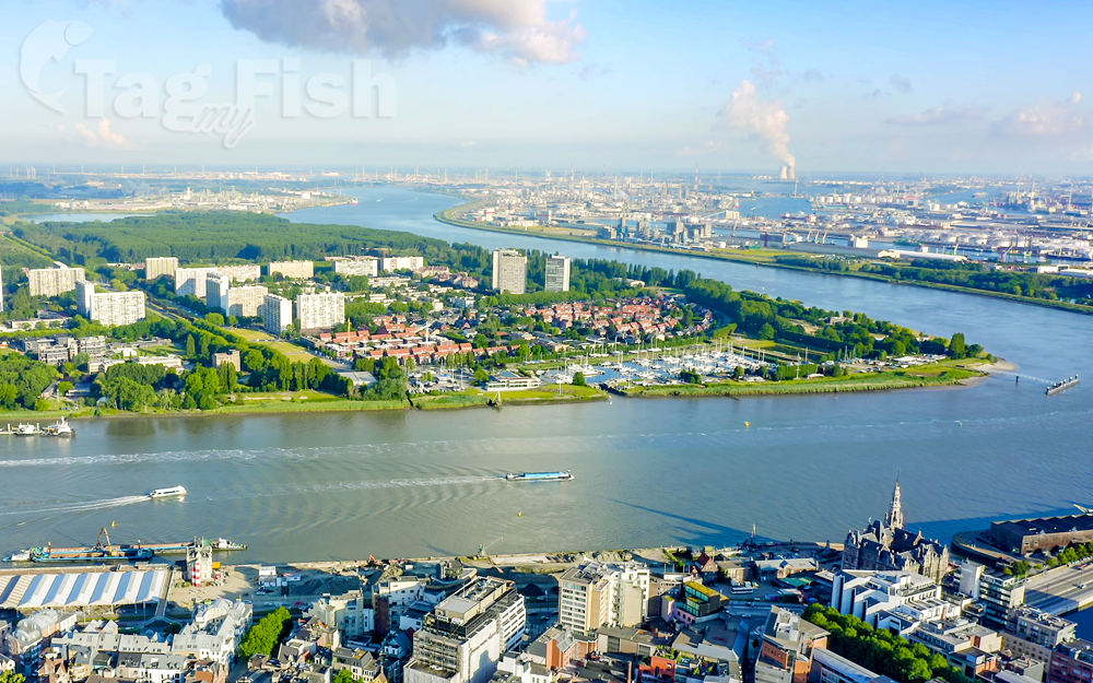
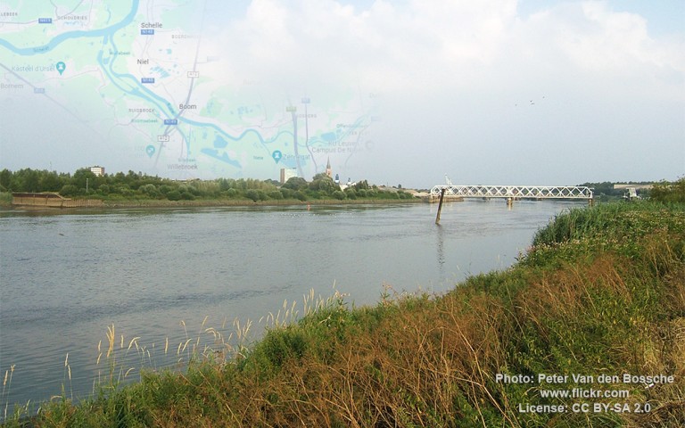
The headwaters of the Scheldt are in Gouy, in the Aisne department of northern France. It flows north through Cambrai and Valenciennes, and enters Belgium near Tournai. Ghent developed at the confluence of the Lys, one of its main tributaries, and the Scheldt, which then turns east. Near Antwerp, the largest city on its banks, the Scheldt flows west into the Netherlands toward the North Sea.
Originally there were two branches from that point: the Oosterschelde (Eastern Scheldt); and the Westerschelde (Western Scheldt). In the 19th century, however, the Dutch built a dyke that cuts the river off from its eastern (northern) branch and connects Zuid-Beveland with the mainland (North Brabant). Today the river continues into the Westerschelde estuary only, passing Terneuzen to reach the North Sea between Breskens in Zeelandic Flanders and Vlissingen (Flushing) on Walcheren.
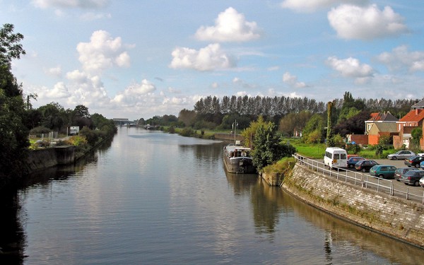
The Scheldt is an important waterway, and has been made navigable from its mouth up to Cambrai. Above Cambrai, the Canal de Saint-Quentin follows its course. The port of Antwerp, the second-largest in Europe, developed on its banks. Several canals (including the Albert Canal) connect the Scheldt with the basins of the Rhine, Meuse, and Seine rivers, and with the industrial areas around Brussels, Liège, Lille, Dunkirk, and Mons.