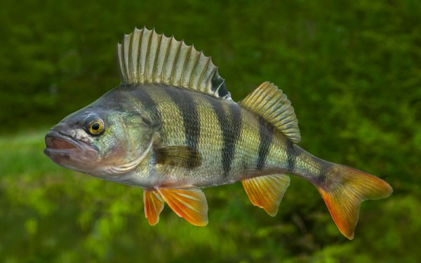
Perciformes - Perches
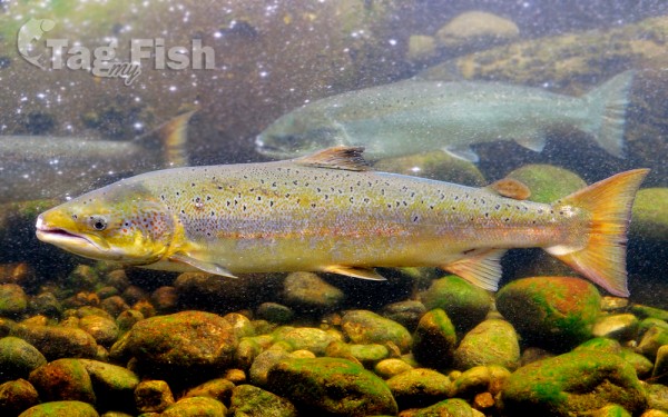
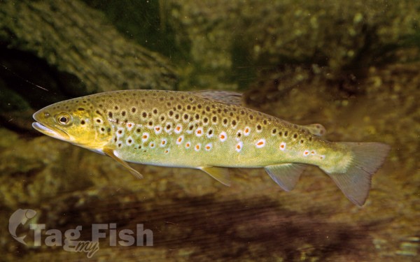
Salmoniformes - Salmons and Trouts
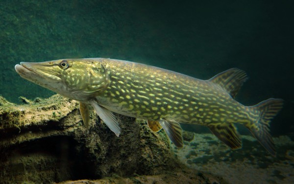
Esociformes - Pikes
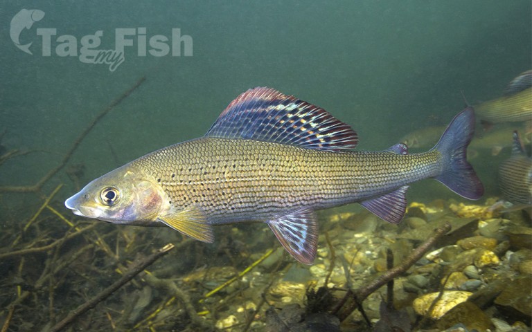
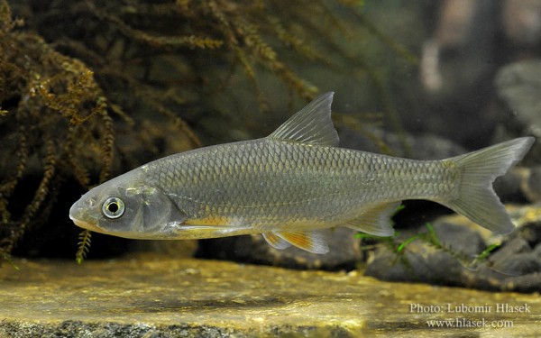
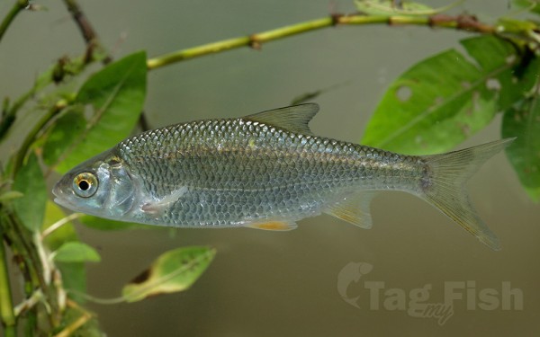
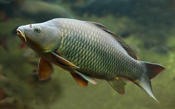
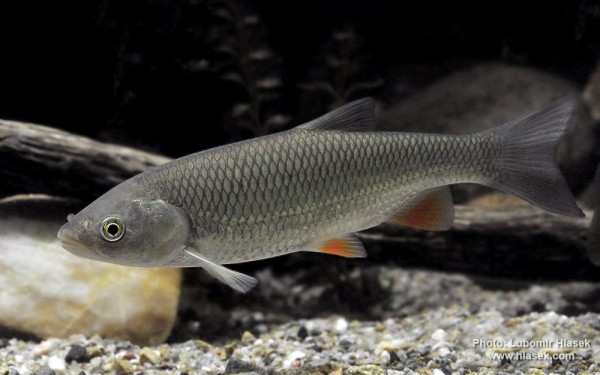
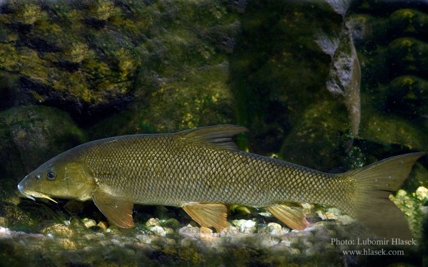
Cypriniformes - Carps
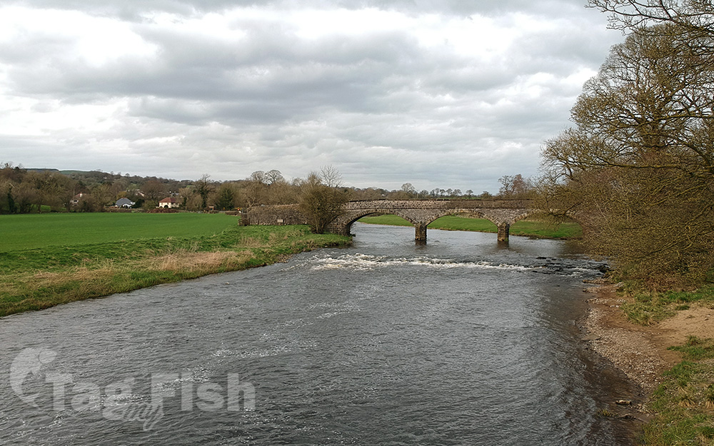
The River Ribble runs through North Yorkshire and Lancashire in Northern England. It starts close to the Ribblehead Viaduct in North Yorkshire, and is one of the few that start in the Yorkshire Dales and flow westwards towards the Irish Sea.
The Ribble begins at the confluence of the Gayle Beck and Batty Wife Beck near the viaduct at Ribblehead, in the shadow of the Yorkshire three peaks.
It is the only major river rising in Yorkshire which flows westward. It flows through Settle, Clitheroe, Ribchester and Preston, before emptying into the Irish Sea between Lytham St. Annes and Southport, a length of 75 miles (121 km).
Its main tributaries are the Hodder and Calder which join the river near Great Mitton, the River Darwen which joins at Walton-le-Dale and the River Douglas which joins near Hesketh Bank.
Above Hellifield the valley of the river is known as Ribblesdale.
The Ribble Way is a long-distance footpath which follows the river for much of its course. The river is connected to both the Leeds and Liverpool Canal and the Lancaster Canal (via the Ribble Link). The river downstream of Preston was actively dredged when Preston was an active port; this is no longer done and silt from the river is now spreading more widely over the (sand) beaches around Fairhaven and St. Annes.
Its 10-mile-wide (16 km) estuary forms part of the Ribble and Alt Estuaries Special Protection Area for wildlife. An average of 340,000 water birds over-winter in the estuary making it the most important wetland site in Britain. The Ribble is also a key breeding ground for Atlantic salmon.