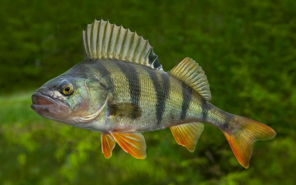
Perciformes - Perches
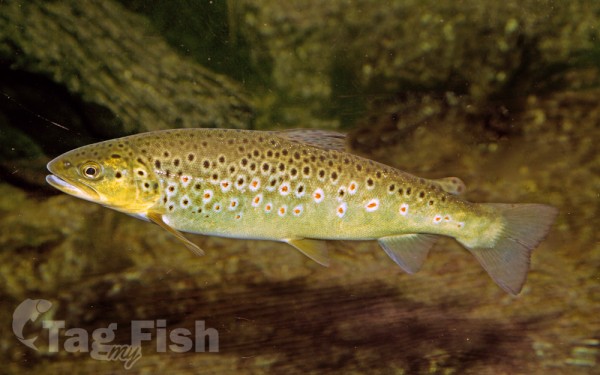
Salmoniformes - Salmons and Trouts
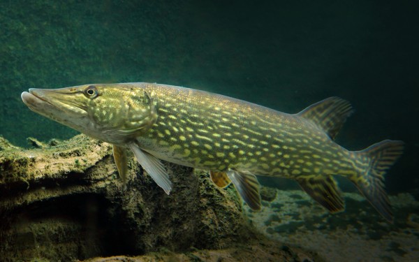
Esociformes - Pikes
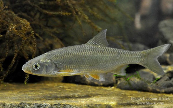
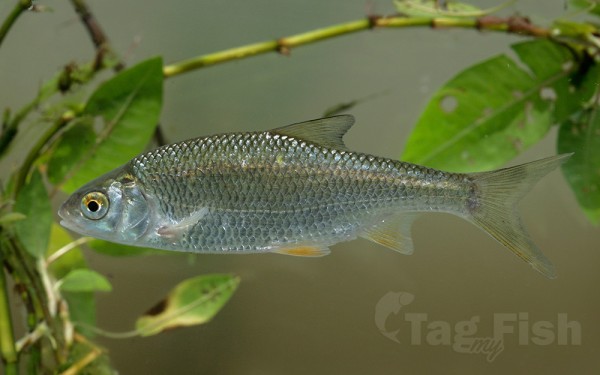
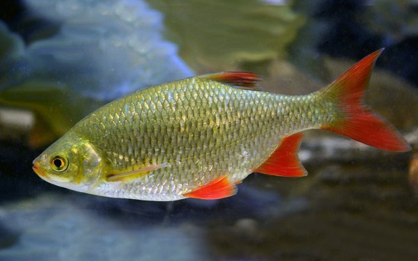
Cypriniformes - Carps
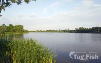
The River Parrett flows through the counties of Dorset and Somerset in South West England, from its source in the Thorney Mills springs in the hills around Chedington in Dorset. Flowing northwest through Somerset and the Somerset Levels to its mouth at Burnham-on-Sea, into the Bridgwater Bay nature reserve on the Bristol Channel, the Parrett and its tributaries drain an area of 660 square miles (1,700 km2).
The main tributaries include the Rivers Tone, Isle, and Yeo, and the River Cary. The 37-mile (60 km) long river is tidal for 19 miles (31 km) up to Oath. The fall of the river between Langport and Bridgwater is only 1 foot per mile (0.2 m/km), so it is prone to frequent flooding in winter and during high tides. Many approaches have been tried since at least the medieval period to reduce the incidence and effect of floods and to drain the surrounding fields.
Fishing
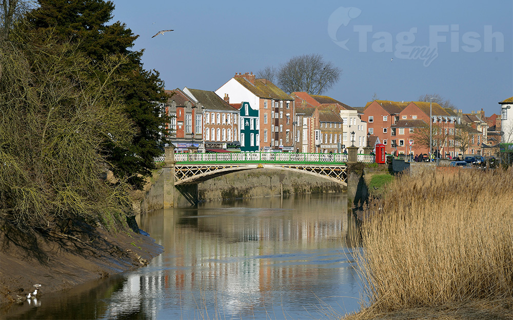
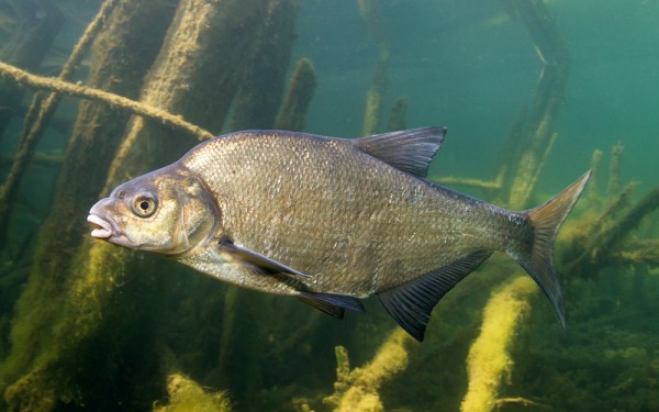
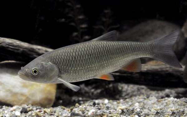
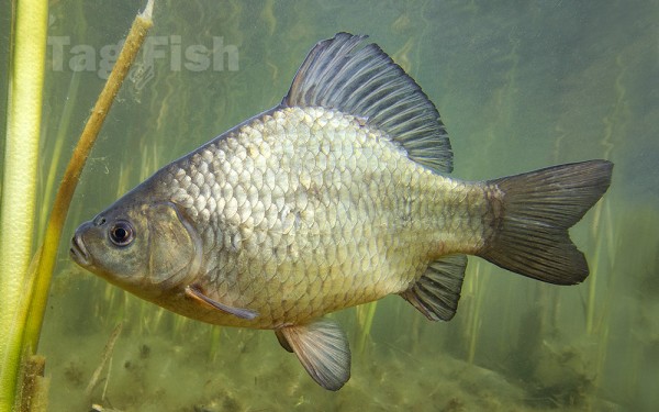
The River Parrett rises in West Dorset and there is some Trout fishing as far as Creedy Bridge upstream of the A303. Below this point a number of weirs and hatches result in deeper water and slower flows. The resulting coarse fishery contains a wide variety of species including Roach, Bream, Rudd, Chub, Dace, Carp, Crucian Carp and Pike. Similar species are found in the lowest freshwater section at Langport where the Rivers Isle and Yeo join the Parrett to form a wide deep river which becomes tidal below Oath Sluice.