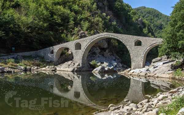
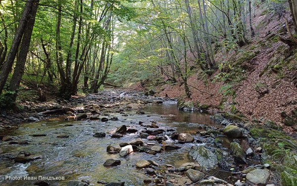
Largest tributaries
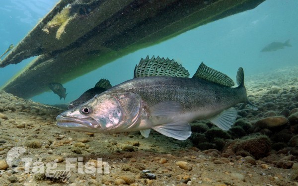
Perciformes - Perches
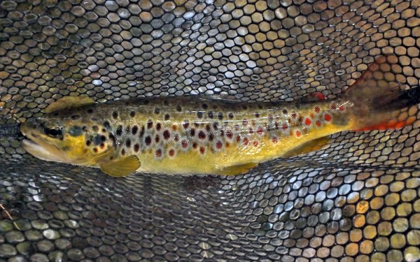
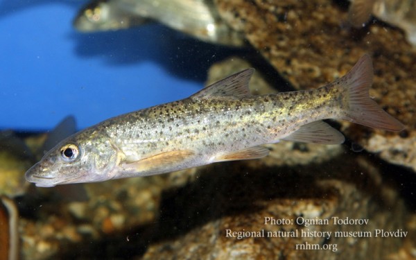
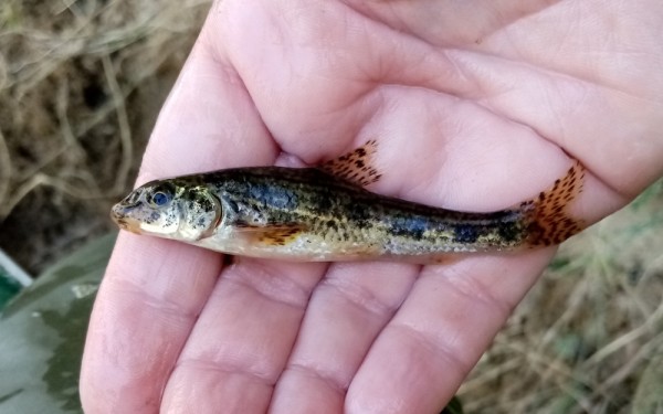
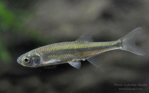
Salmoniformes - Salmons and Trouts
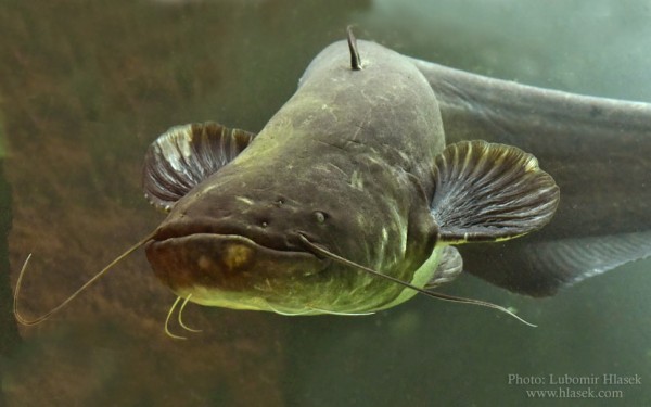
Siluriformes - Catfishes
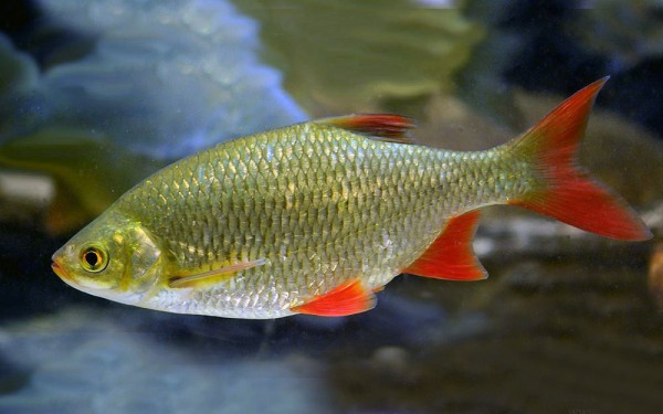
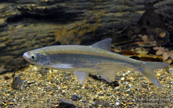
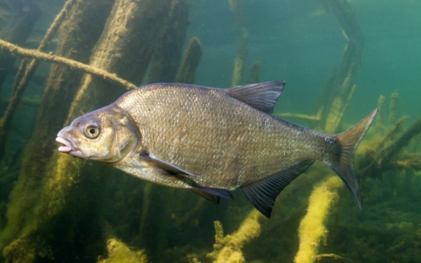
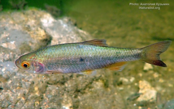
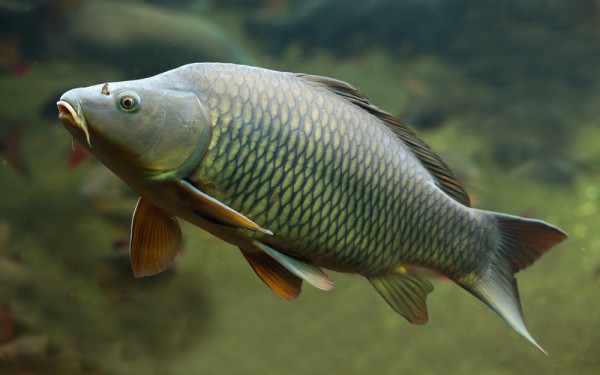
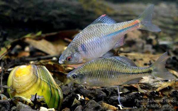
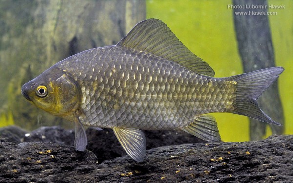
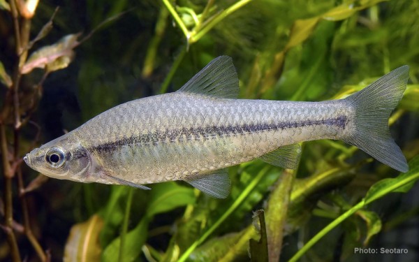
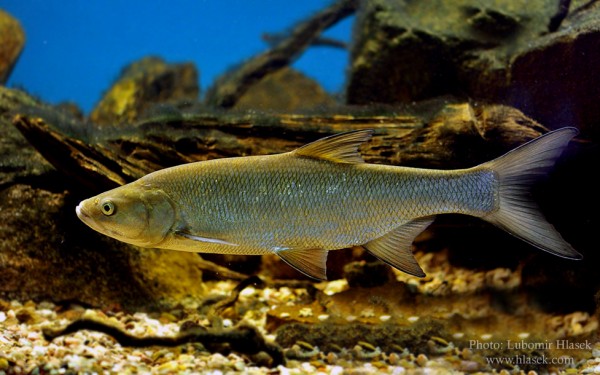
Cypriniformes - Carps
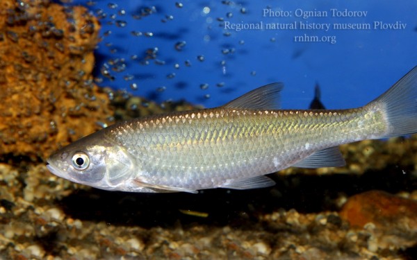
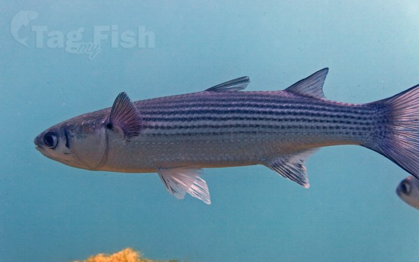
Mugiliformes - Mullets
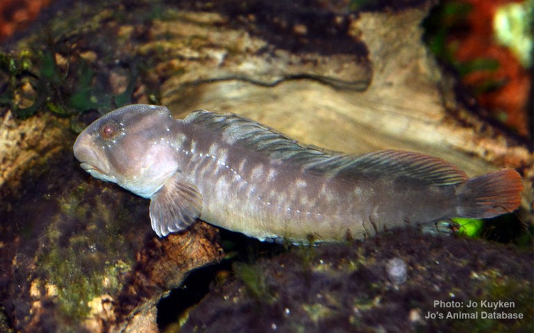
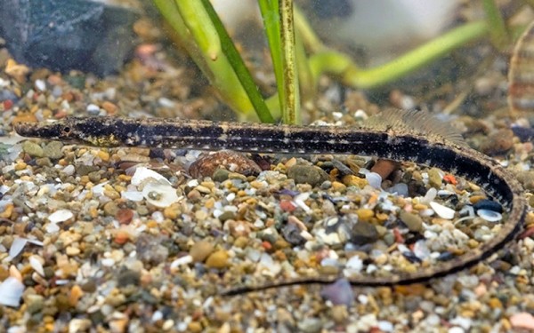
Blenniiformes - Blennies
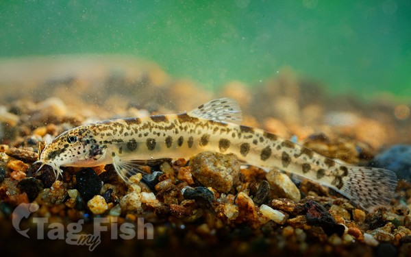
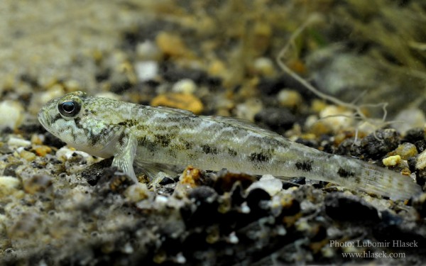
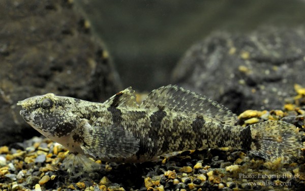
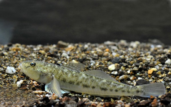
Gobiiformes - Gobies
Syngnathiformes - Pipefishes and Seahorses
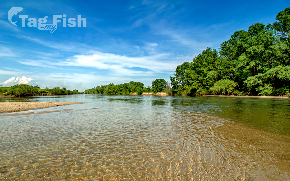
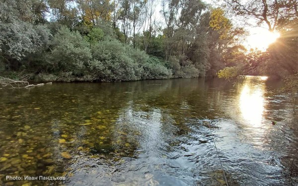
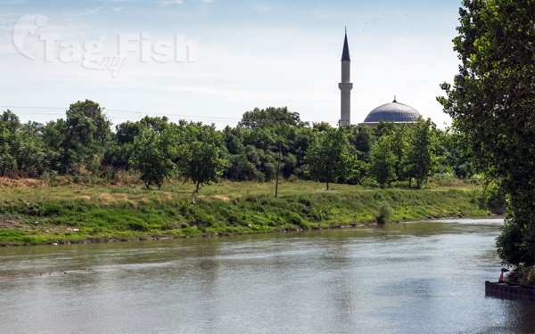
Maritsa (Greek: Evros) is a river that runs through the Balkans in Southeast Europe. With a length of 480 km (300 mi), it is the longest river that runs solely in the interior of the Balkan peninsula, and one of the largest in Europe by discharge. It originates in the Rila mountains and flows through Bulgaria in its upper and middle reaches, while its lower course forms much of the border between Greece and Turkey. Its drainage area is about 53,000 km2 (20,000 sq mi), of which 66.2% is in Bulgaria, 27.5% in Turkey, and 6.3% in Greece. It is the main river of the historical region of Thrace, most of which lies in its drainage basin.
It has its origin in the Rila Mountains in Western Bulgaria, flowing southeast between the Balkan and Rhodope Mountains, past Plovdiv and Parvomay (where the Mechka and the Kayaliyka join it) to Edirne, Turkey. East of Svilengrad, Bulgaria, the river flows eastwards, forming the border between Bulgaria (on the north bank) and Greece (on the south bank), and then between Turkey and Greece. At Edirne, the river flows through Turkish territory on both banks, then turns towards the south and forms the border between Greece on the west bank and Turkey on the east bank to the Aegean Sea. Turkey was given a small sector on the west bank opposite the city of Edirne. Maritsa then flows past Kastanies, Pythio, Didymoteicho and Lavara in Greece. It enters the Aegean near Enez, where it forms a river delta. The Tundzha is its chief tributary; the Arda is another one. The lower course of the Maritsa/Evros forms part of the Bulgarian–Greek border and most of the Greek–Turkish border. The upper Maritsa valley is a principal east-west route in Bulgaria. The unnavigable river is used for power production and irrigation.