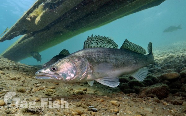
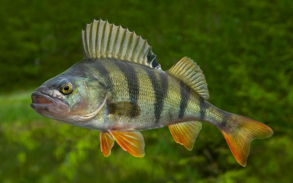
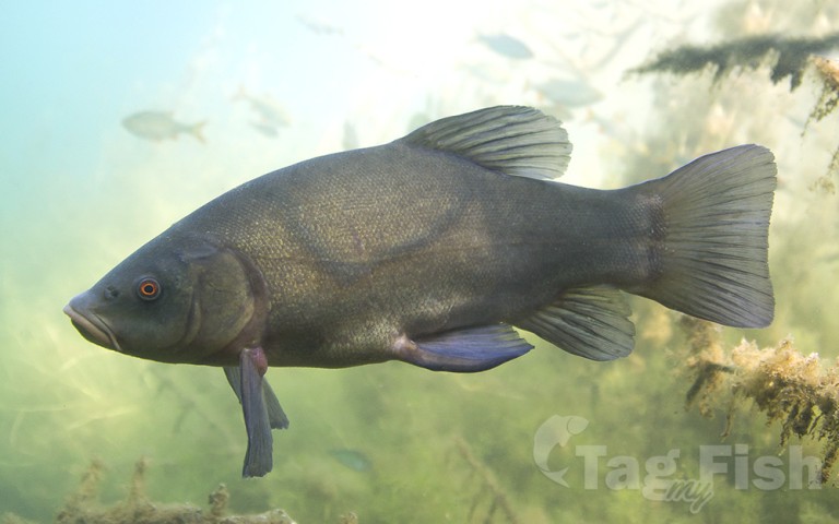
Perciformes - Perches
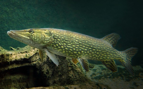
Esociformes - Pikes
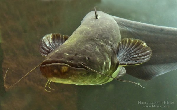
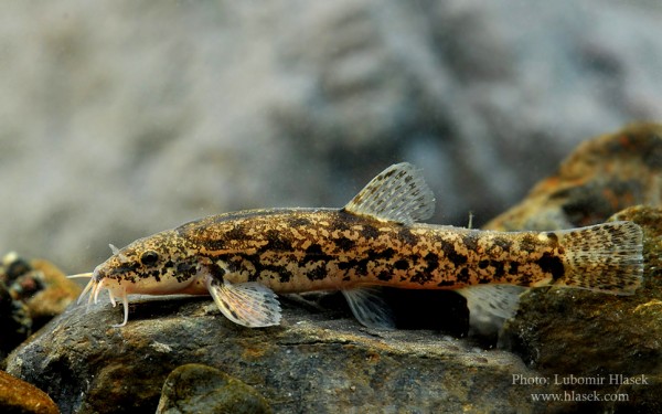
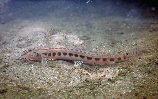
Siluriformes - Catfishes
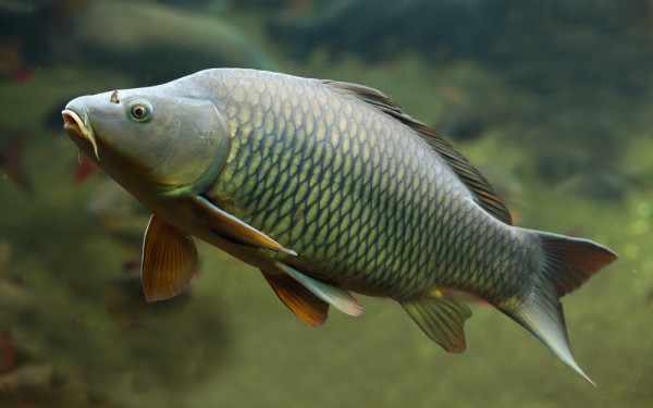
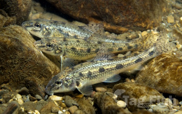
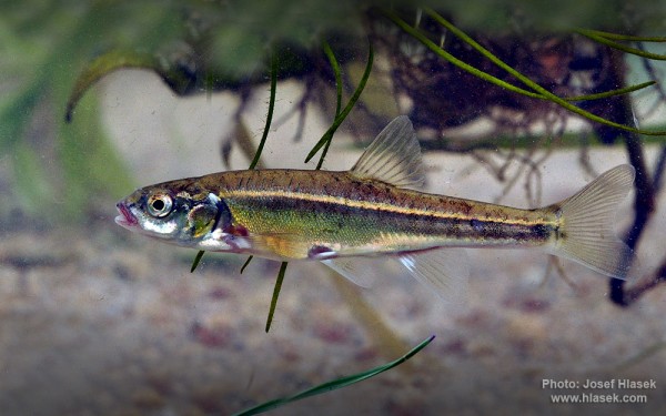
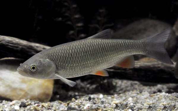
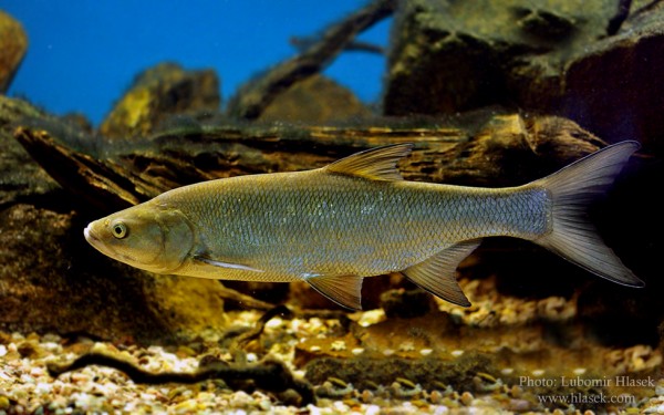
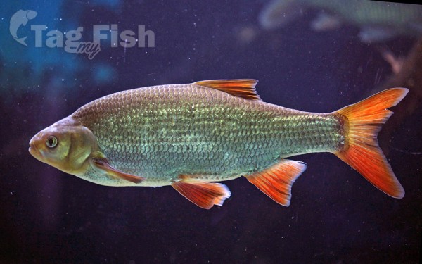
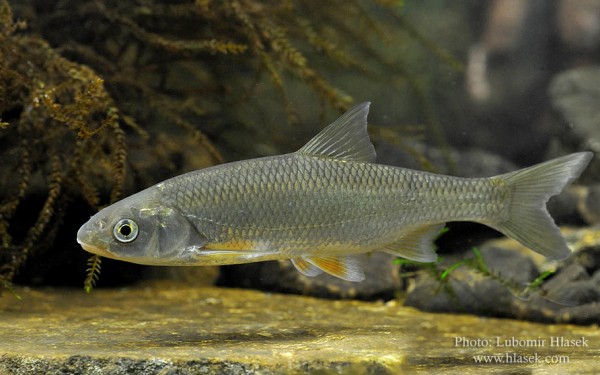
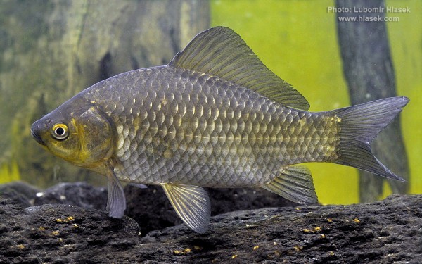
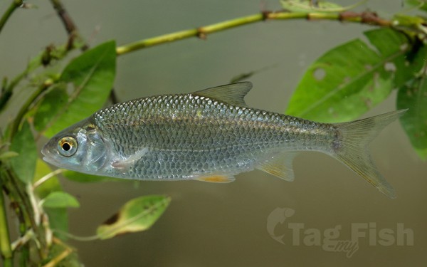
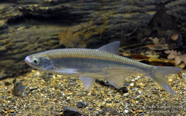
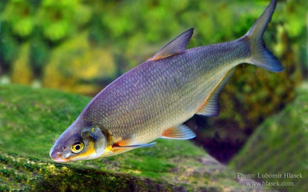
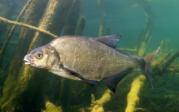
Cypriniformes - Carps

Gadiformes - Cods
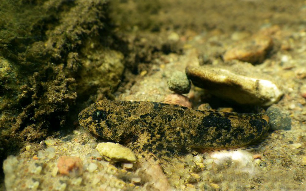
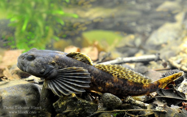
Scorpaeniformes - Mail-cheeked fishes
Gasterosteiformes - Sticklebacks

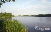
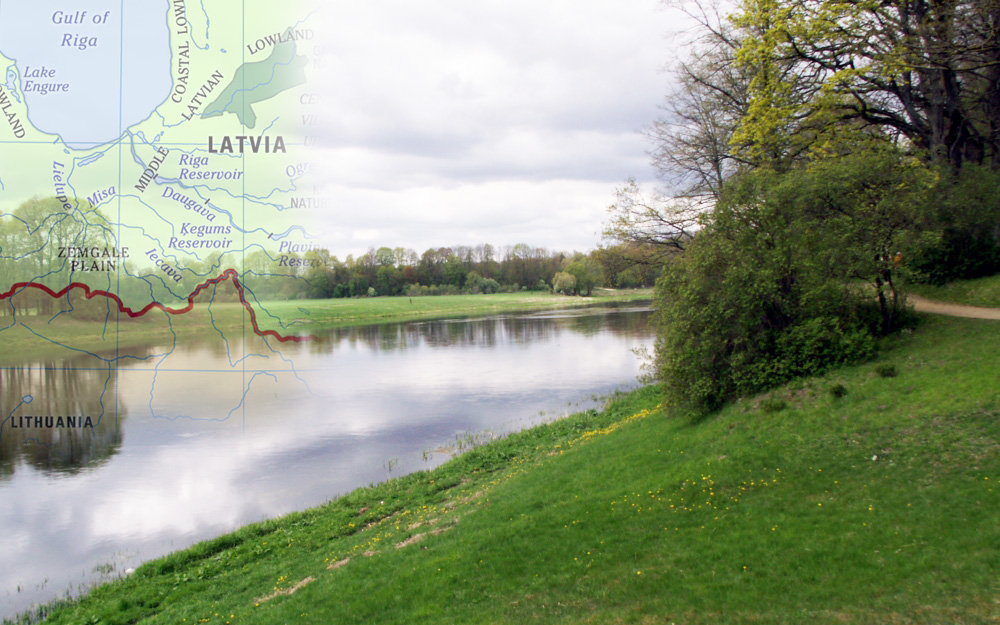
The Lielupe, in Latvian literally Large River, is a river in central Latvia.
Its length is 119 km (74 mi) (the length would reach 310 km (190 mi) if the Mēmele River were counted as part of the Lielupe).
The surface area of its drainage basin is 17,600 km2 (6,800 sq mi).
The average fall of the Lielupe is about (0.1 m/km (0.53 ft/mi)) and its average flow is 106 m3/s (3,700 cu ft/s), although a maximum of 1,380 m3/s (49,000 cu ft/s) has been reached during floods.
The Lielupe begins at the confluence of the Mēmele and Mūsa rivers near Bauska. For the upper part of its course, the river flows through a dolomite valley with a few small rapids, until it reaches Mežotne, where it widens and deepens over the flat Zemgale Plain. For many years the Lielupe would frequently overflow its shallow banks and flood surrounding fields and villages, particularly during the spring thaw. Today many parts of the banks are contained with earthen dikes to prevent disastrous floods.
Much of the Lielupe is covered in river grasses.
At its lower reaches, the river flows parallel to the coast line of the Gulf of Riga; the city of Jūrmala stretches for almost 30 km (19 mi) between the river and the sea. Eventually Lielupe flows into the Baltic Sea, while the Buļļupe branch (German: Kurische Aa) flows into the Daugava River.
The modern mouth of the river appeared in 1755. Before then the Buļļupe was the Lielupes main channel.