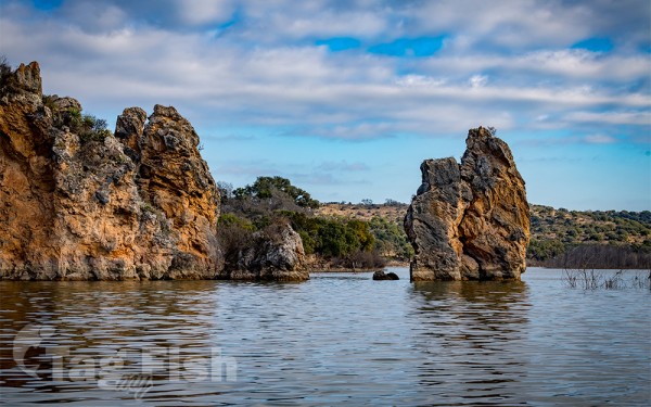
Artificial lakes
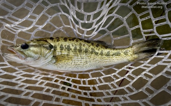
Perciformes - Perches
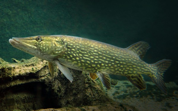
Esociformes - Pikes
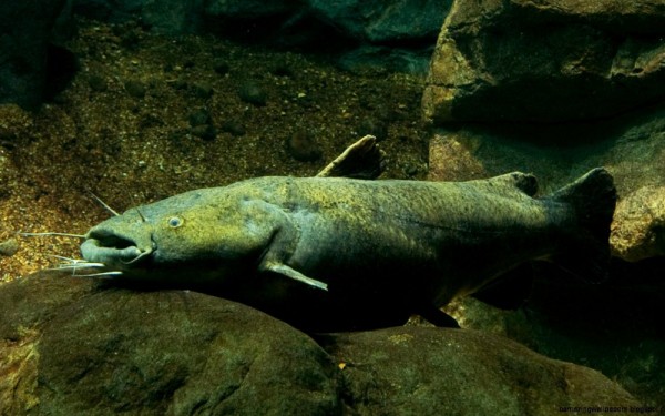
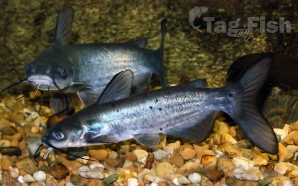
Siluriformes - Catfishes
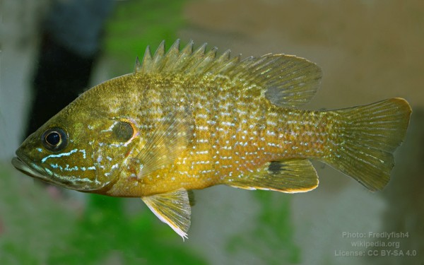
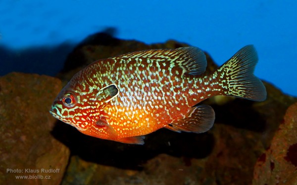
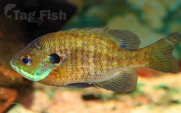
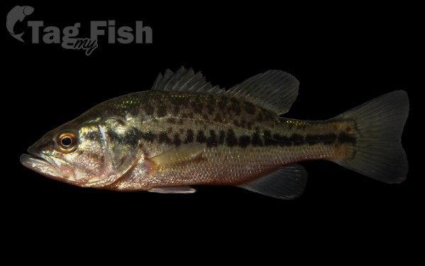
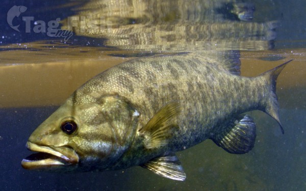
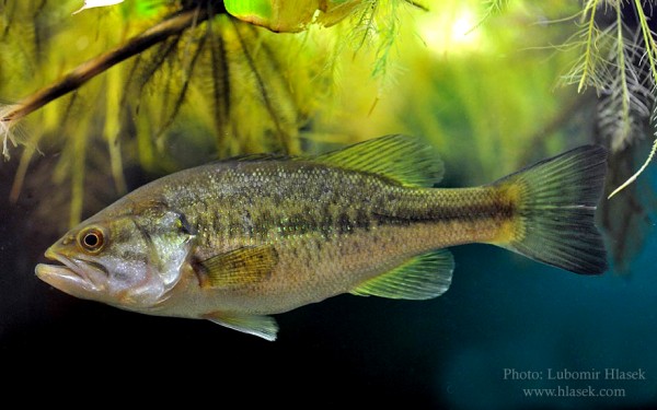
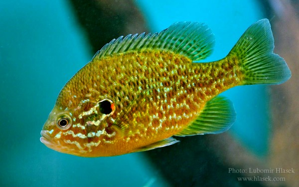
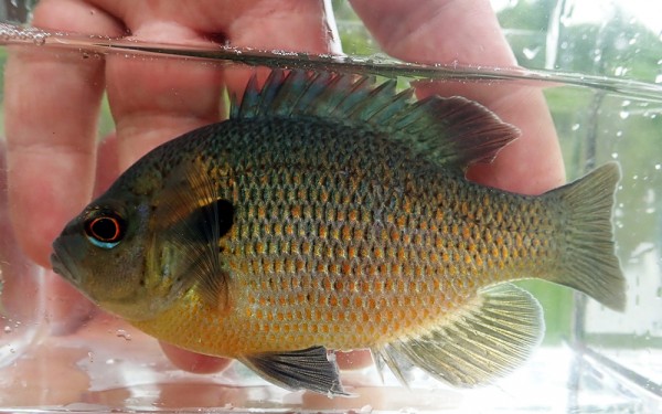
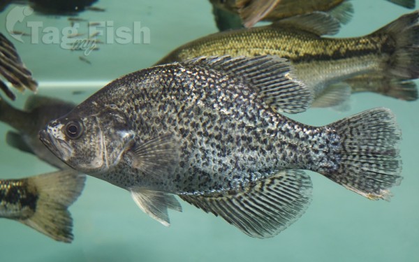
Centrarchiformes - Basses and sunfishes
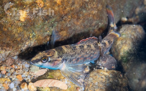
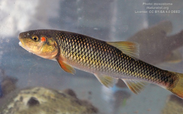
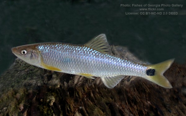
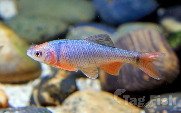
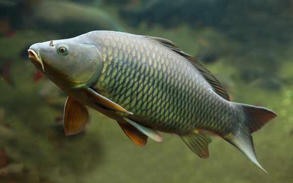
Cypriniformes - Carps
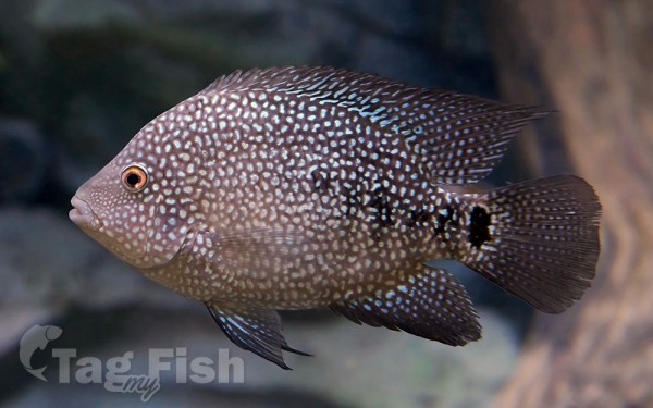
Cichliformes - Cichlids
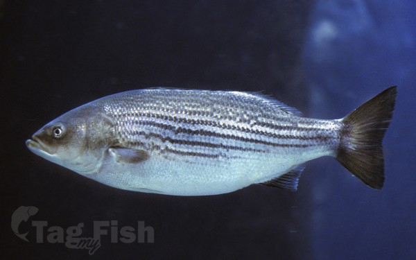
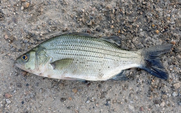
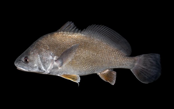
Moroniformes - Temperate basses
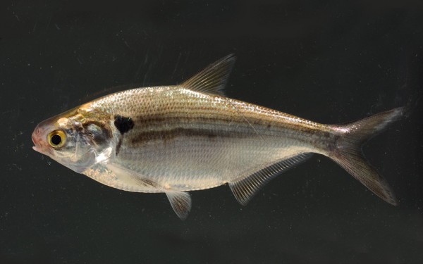
Clupeiformes - Herrings
Acanthuriformes - Surgeonfishes
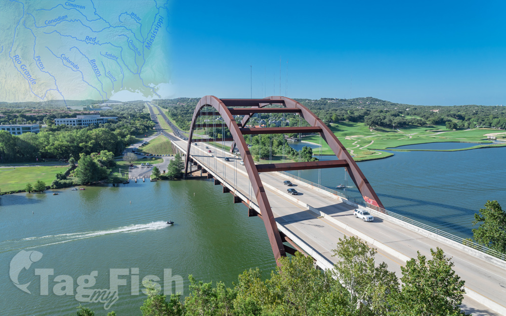
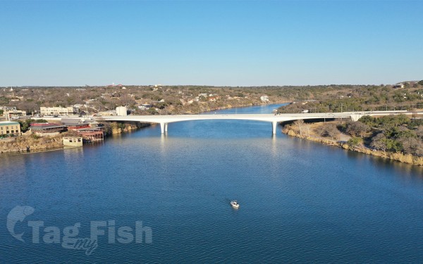
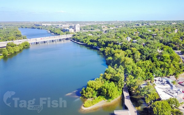
The Colorado River is an approximately 862-mile (1,387 km) long river in the U.S. state of Texas. It is the 18th longest river in the United States and the longest river with both its source and its mouth within Texas.
Its drainage basin and some of its usually dry tributaries extend into New Mexico. It flows generally southeast from Dawson County through Ballinger, Marble Falls, Austin, Bastrop, Smithville, La Grange, Columbus, Wharton, and Bay City, before emptying into the Gulf of Mexico at Matagorda Bay.
Course
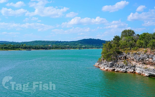
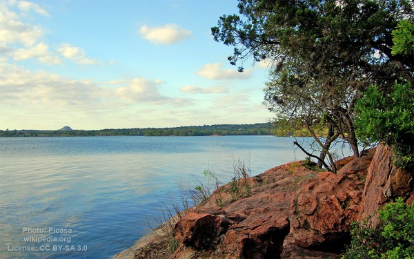
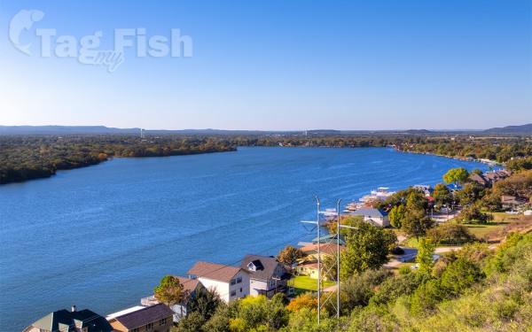
The Colorado River originates south of Lubbock, on the Llano Estacado near Lamesa. It flows generally southeast out of the Llano Estacado and through the Texas Hill Country, then through several reservoirs including Lake J.B. Thomas, E.V. Spence Reservoir, and O.H. Ivie Lake. The river flows through several more reservoirs before reaching Austin, including Lake Buchanan, Inks Lake, Lake Lyndon B. Johnson (commonly referred to as Lake LBJ), and Lake Travis. The Llano River joins the Colorado at Lake LBJ near Kingsland, and the Pedernales River joins at Lake Travis near Briarcliff. After passing through Austin, the Colorado River continues flowing southeast until emptying into Matagorda Bay on the Gulf of Mexico, near Matagorda.