
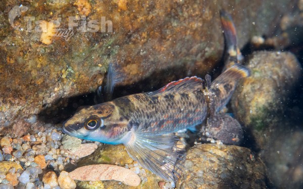
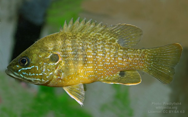
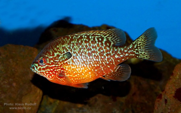
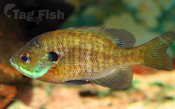
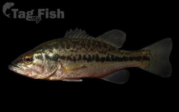
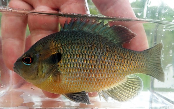
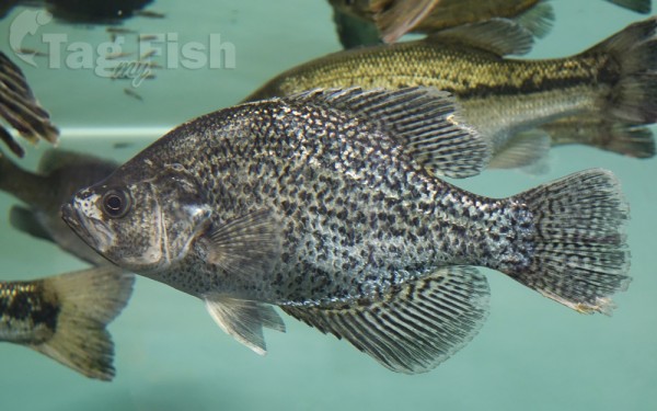
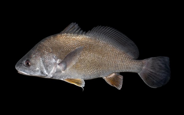
Perciformes - Perches
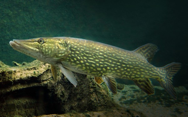
Esociformes - Pikes
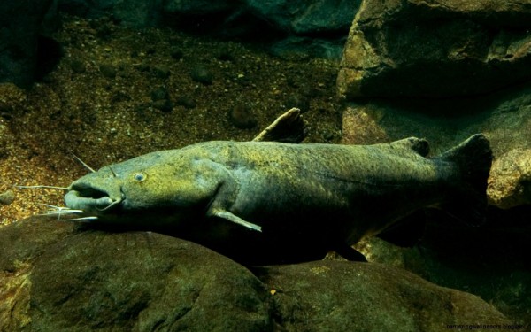
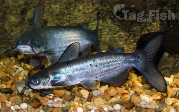
Siluriformes - Catfishes
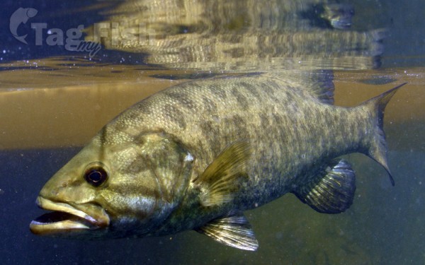
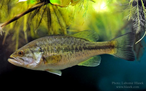
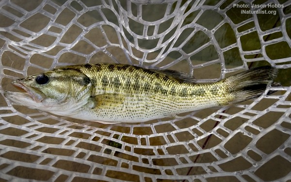
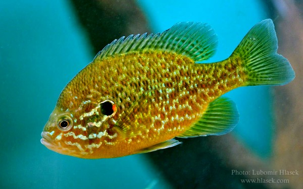
Centrarchiformes - Basses and sunfishes
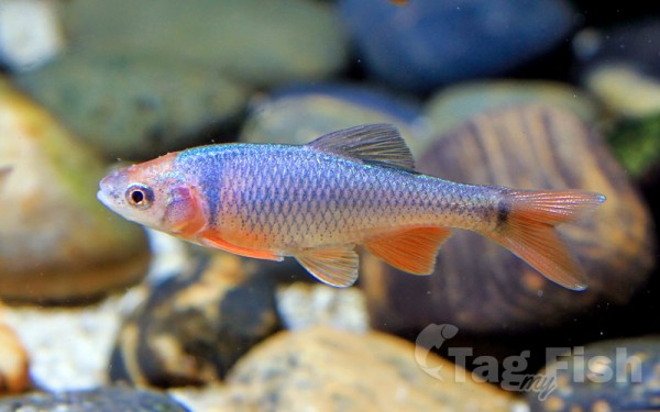
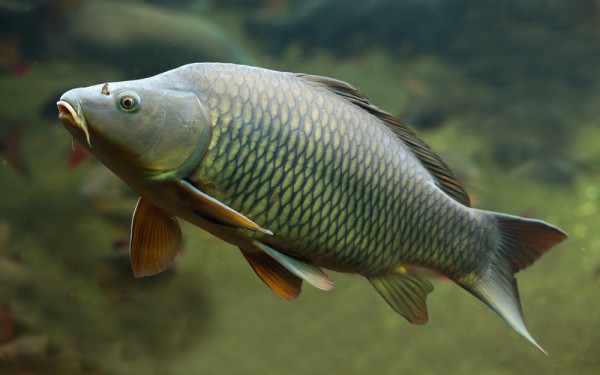
Cypriniformes - Carps
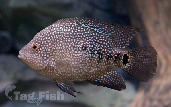
Cichliformes - Cichlids
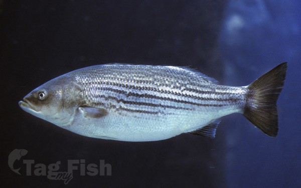
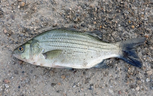
Moroniformes - Temperate basses
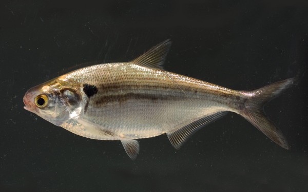
Clupeiformes - Herrings
Acanthuriformes - Surgeonfishes
Lake Travis is a reservoir on the Colorado River in central Texas in the United States.
Serving principally as a flood-control reservoir, Lake Travis historical minimum to maximum water height change is nearly 100 feet. For example, following the 2018 Llano River flood (the Llano River feeds into the Colorado River), Lake Travis saw a 20-foot depth increase within a single 24-hour period of time. With 30 square miles of surface area, Lake Travis has the largest storage capacity of the seven reservoirs known as the Highland Lakes, and stretches 65 miles (105 km) upriver from western Travis County (near Lago Vista, Texas) in a highly serpentine course into southern Burnet County to Max Starcke Dam, southwest of the town of Marble Falls. Besides being used for flood control and as a water supply, the lake is also used for electrical power generation and recreation.
The Pedernales River, a major tributary of the Colorado River, flows into the lake from southwestern Travis County.


