
Largest tributaries

Natural lakes

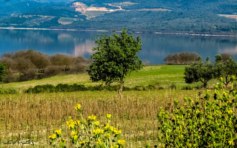
Artificial lakes

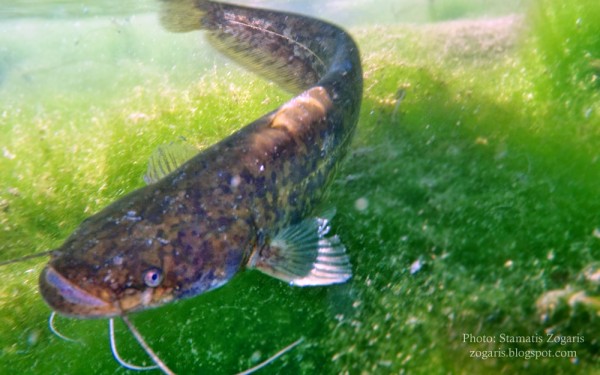
Siluriformes - Catfishes
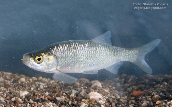
Cypriniformes - Carps

The Achelous (Greek: Αχελώος, Ancient Greek: Ἀχελῷος Akhelôios), also Acheloos, is a river in western Greece. It is 220 km (137 mi) long. It formed the boundary between Acarnania and Aetolia of antiquity. It empties into the Ionian Sea.
The river Achelous begins at about 2,000 metres (6,600 ft) elevation on the eastern slope of Lakmos mountain in the Pindus range, near the village Anthousa in the westernmost part of the Trikala regional unit. One of its first tributaries is the Aspropotamos, meaning the white river.
The river flows generally southwards, and forms part of the boundary between the regional units of Arta and Trikala, which is also the boundary between Epirus and Thessaly. Further downstream, it forms the boundary of Arta and Karditsa, and further of Aetolia-Acarnania and Evrytania. The river runs into the Kremasta reservoir, which is also fed by the rivers Agrafiotis and Megdovas.
On exiting the Kremasta reservoir, the river flows southwest into Aetolia-Acarnania, feeding the Kastraki reservoir, west of the Panaitoliko range. 10 to 15 kilometres (6.2 to 9.3 mi) downstream from this lake, it flows into the Stratos reservoir. Further downstream, it runs through the lowlands west of Agrinio. It finally empties into the Ionian Sea, 29 km (18 mi) west of Missolonghi.


