
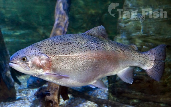
Salmoniformes - Salmons and Trouts
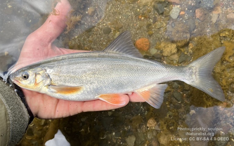
Cypriniformes - Carps
Acipenseriformes - Sturgeons and Paddlefish
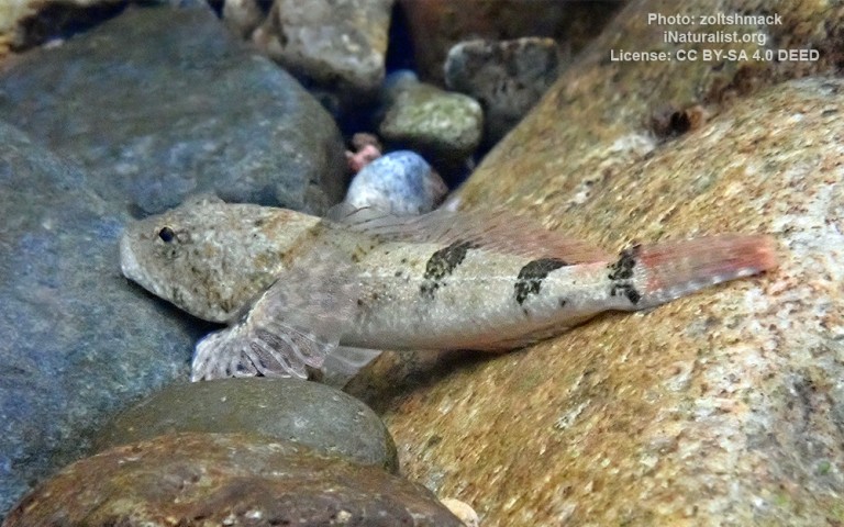
Scorpaeniformes - Mail-cheeked fishes
Pitt Lake is the second-largest lake in the Lower Mainland of British Columbia.
About 53.5 km2 (20.7 sq mi) in area, it is about 25 km (16 mi) long and about 4.5 km (2.8 mi) wide at its widest.
It is one of the world’s relatively few tidal lakes, and among the largest.
In Pitt Lake, there is on average a three-foot tide range; thus Pitt Lake is separated from sea level and tidal waters during most hours of each day during the 15 foot tide cycle of the Pitt River and Strait of Georgia estuary immediately downstream.
The lake’s southern tip is 20 km (12 mi) upstream from The Pitt River confluence with the Fraser River and is 40 km (25 mi) east of Downtown Vancouver.
Pitt Lake is in a typical U-shaped glacial valley in the Pacific Ranges of the Coast Mountains. The overdeepening of the lower end of the valley over the span of the Wisconsin glaciation created a trough over 140 m below current sea level. After initial glacial retreat at around 13,000 years ago a saltwater fjord occupied this basin when relative sea levels were still ca 120 to 140m above current levels in the region. Unlike neighbouring Indian Arm and Howe Sound farther west, this fjord basin became partly cut off from tidal waters by sedimentation of the lower Fraser River ca 10,500 years ago, and Pitt Lake is now considered a tidal fjord lake.
Pitt Lake is the second largest of a series of north–south oriented fjord-lakes incising the southern slopes of the Pacific Ranges, the largest being Harrison Lake located 60 km (37 mi) to the east. The other fjord-lakes include Coquitlam Lake, Alouette Lake, Stave Lake, and Chehalis Lake.
The Pitt River drains into the northern end of Pitt Lake. The western shore of Pitt Lake are protected within Pinecone Burke Provincial Park, while most of the eastern shore are protected within Golden Ears Provincial Park. The southern end of Pitt Lake features an extensive marshland called Pitt Polder. While most of this marshland has since been drained for agricultural use, the northernmost portion is strictly protected in order to provide critical habitat for migratory birds.


