
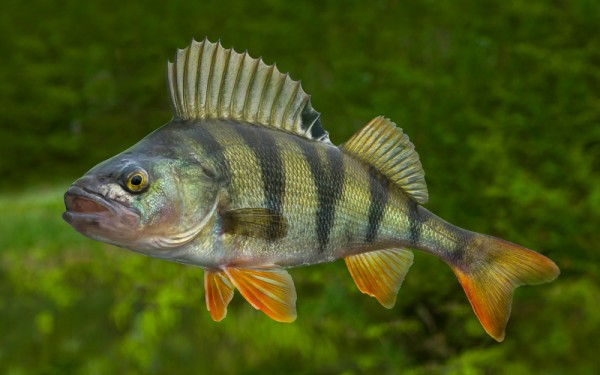
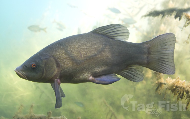
Perciformes - Perches
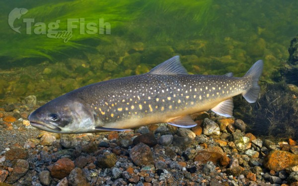
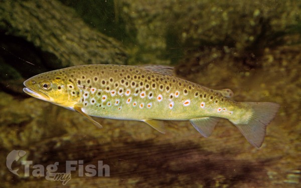
Salmoniformes - Salmons and Trouts
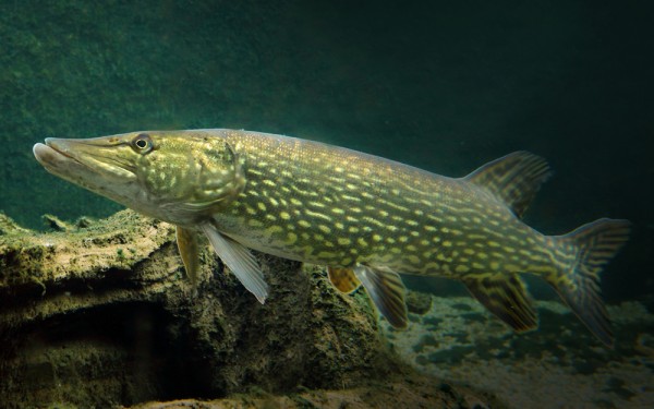
Esociformes - Pikes
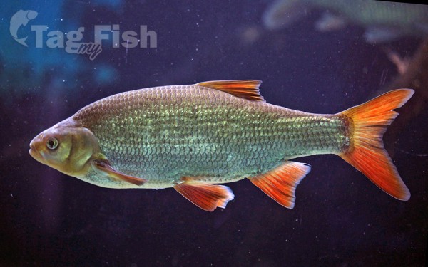
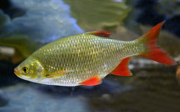
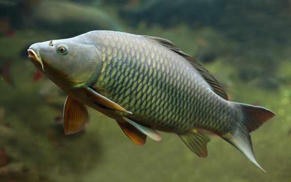
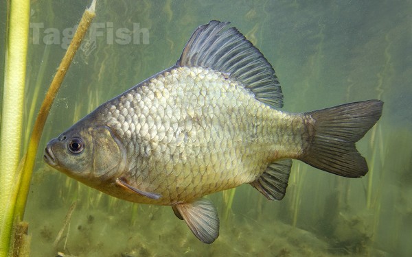
Cypriniformes - Carps
Gadiformes - Cods
Mjøsa is Norway’s largest lake, as well as one of the deepest lakes in Norway and in Europe. It is the fourth-deepest lake in Norway. It is located in the southern part of Norway, about 100 kilometres (62 mi) north of the city of Oslo.
Its main tributary is the river Gudbrandsdalslågen flowing in from the north; the only distributary is the river Vorma in the south. Inflows would theoretically need 5.6 years to fill the lake. With an average depth of about 153 metres (502 ft), most of the lake’s volume is under sea level. The average outflow of the lake (measured from 1931–1982) is 316 cubic metres per second (11,200 cu ft/s).
With a surface elevation of about 121 metres (397 ft), the depth of Mjøsa means that the deepest part of the basin is located approximately 328 metres (1,076 ft) below sea level. This is lower than the deepest point of the sea inlet of Kattegat and the lower than the vast majority of Skagerrak off Norway’s south coast. Mjøsa retains a larger average depth than both the North Sea and Baltic Sea respectively.
Thomas Robert Malthus traveled through Norway in 1799 and his diaries from the trip includes a description of Mjøsa. Malthus wrote that Mjøsa appears as both lake and river because the shores are defined by mountains and where the valley becomes wider the water fills the space. Below Minde (Minnesund) the lake only appears like a river and is called Vorma on the map, according to Malthus.
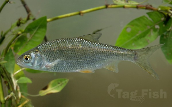
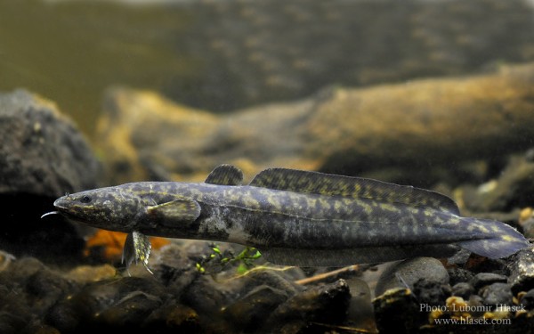
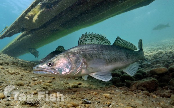
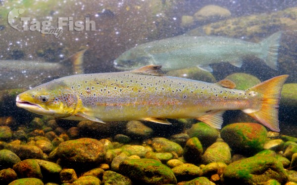
Fishes
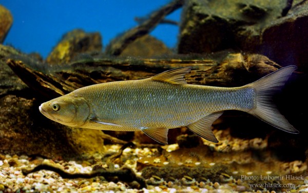
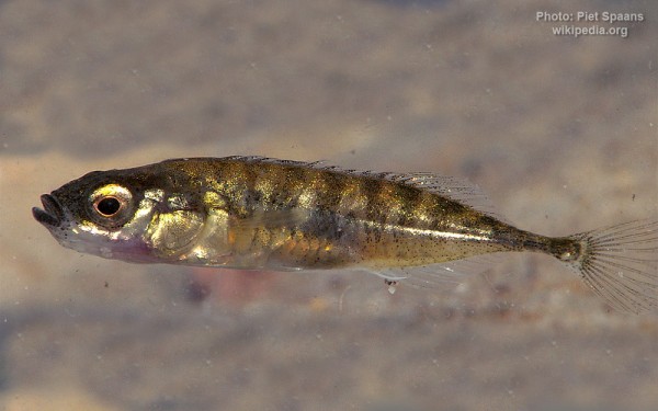
Lake Mjøsa has 20 species of fish. Among the most common are pike, european perch, common roach, greyling, and the hundertrout, a brown trout which can reach a weight more than 20 kilograms (44 lb). Another common species is the European smelt, which is the most important bait fish for the predators. Historically, the most economically significant species is the lågsild (European cisco).


