Lake Kivu

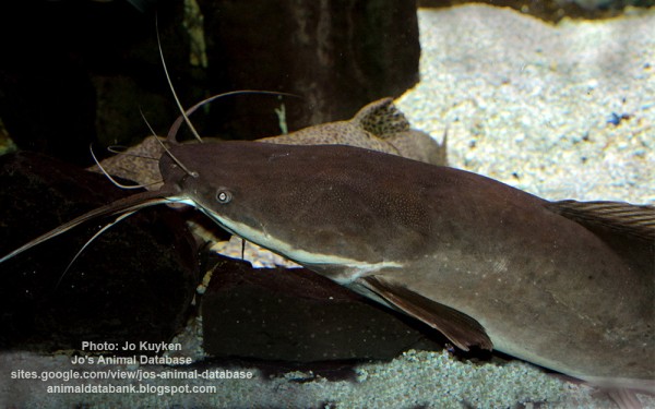
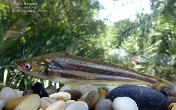
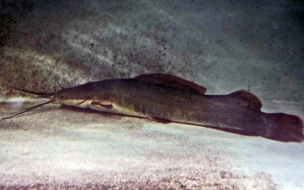
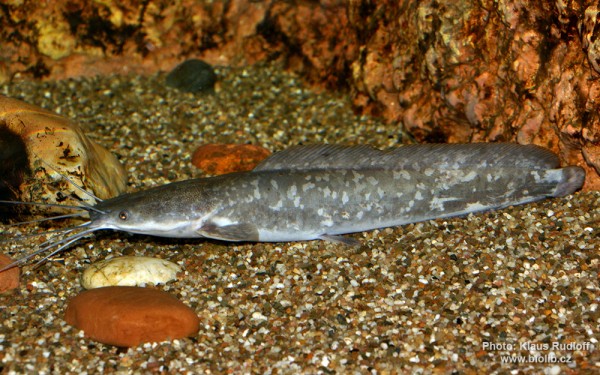
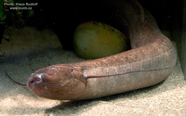
Siluriformes - Catfishes
Cypriniformes - Carps
Cichliformes - Cichlids
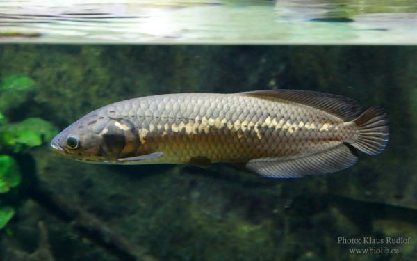
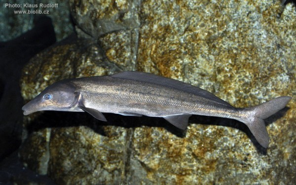
Osteoglossiformes - Bony tongues
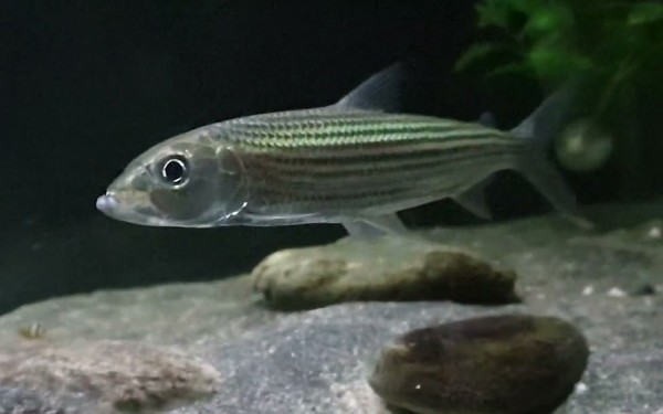
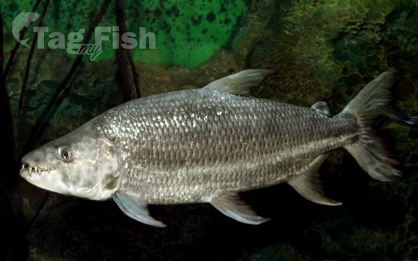
Characiformes - Characins
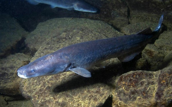
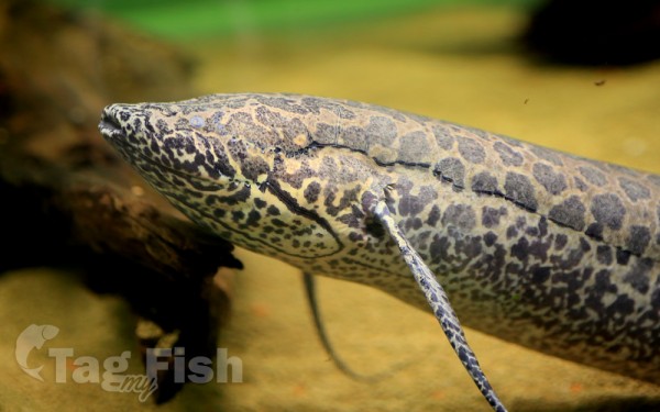
Ceratodontiformes - Lungfishes
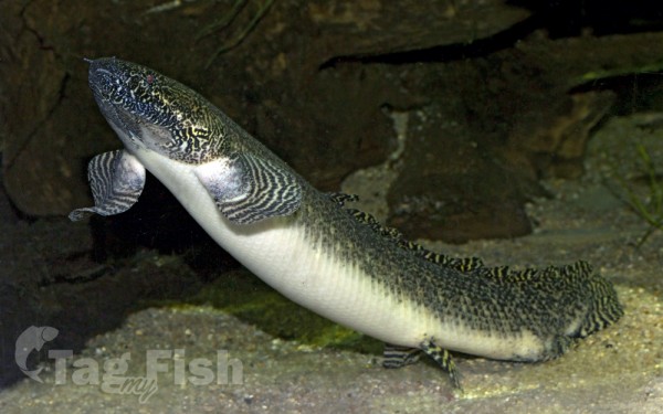
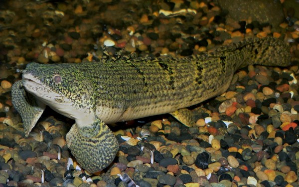
Polypteriformes - Bichirs
Siluriformes - Catfishes
Cypriniformes - Carps
Cichliformes - Cichlids
Osteoglossiformes - Bony tongues
Characiformes - Characins
Ceratodontiformes - Lungfishes
Polypteriformes - Bichirs
Lake Kivu is one of the African Great Lakes.
It lies on the border between the Democratic Republic of the Congo and Rwanda, and is in the Albertine Rift, the western branch of the East African Rift.
Lake Kivu empties into the Ruzizi River, which flows southwards into Lake Tanganyika. The Ruzizi is a young river, formed about 10,000 years ago when volcanism associated with continental rifting created the Virunga Mountains. The mountains blocked Lake Kivu’s former outlet to the drainage basin of the Nile and instead forced the lake overflow south down the Ruzizi and the drainage basin of the Congo.
Lake Kivu is approximately 42 km (26 mi) long and 50 km (31 mi) at its widest.
Its irregular shape makes measuring its precise surface area difficult; it has been estimated to cover a total surface area of some 2,700 km2 (1,040 sq mi), making it Africa’s eighth largest lake.
The surface of the lake sits at a height of 1,460 metres (4,790 ft) above sea level.
This lake has a chance of suffering a limnic eruption every 1000 years.
The lake has a maximum depth of 475 m (1,558 ft) and a mean depth of 220 m (722 ft), making it the world’s eighteenth deepest lake by maximum depth, and the ninth deepest by mean depth.
Some 1,370 square kilometres (529 sq mi) or 58 percent of the lake’s waters lie within DRC borders.
The lake bed sits upon a rift valley that is slowly being pulled apart, causing volcanic activity in the area.
The world’s tenth-largest island in a lake, Idjwi, lies in Lake Kivu, within the boundaries of Virunga National Park. Settlements on the lake’s shore include Bukavu, Kabare, Kalehe, Sake and Goma in the Democratic Republic of the Congo, and Gisenyi, Kibuye, and Cyangugu in Rwanda.
Chemistry
Lake Kivu is a fresh water lake and, along with Cameroonian Lake Nyos and Lake Monoun, is one of three that are known to undergo limnic eruptions. Around the lake, geologists found evidence of massive local extinctions about every thousand years, presumably caused by outgassing events. The trigger for lake overturns in Lake Kivu is unknown, but volcanic activity and changes in climate are both suspected. The gaseous chemical composition of exploding lakes is unique to each lake. In Lake Kivu’s case, it includes methane (CH4) and carbon dioxide (CO2), as a result of lake water interaction with volcanic hot springs.
The amount of methane contained at the bottom of the lake is estimated to be 65 cubic kilometres (16 cu mi). If burnt over one year, it would give an average power of about 100 gigawatts (130×106 hp) for the whole period. The lake also holds an estimated 256 cubic kilometres (61 cu mi) of carbon dioxide which, if released in an eruption event, could suffocate all of the inhabitants of the lakeshore.
The water temperature is 24 °C (75 °F), and the pH is about 8.6.
The methane is reported to be produced by microbial reduction of the volcanic CO2. A future overturn and gas release from the deep waters of Lake Kivu would result in catastrophe, dwarfing the historically documented lake overturns at the much smaller Lakes Nyos and Monoun. The lives of the approximately two million people who live in the lake basin area would be threatened.
