Democratic Republic of the Congo
Oceans
Largest rivers
Biggest natural lakes
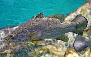
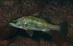
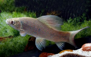
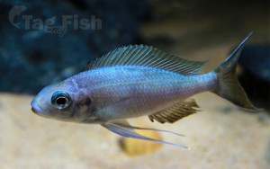
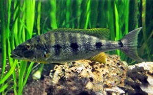
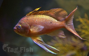
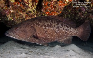
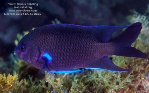
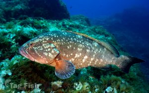
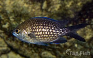
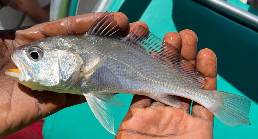
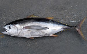
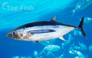
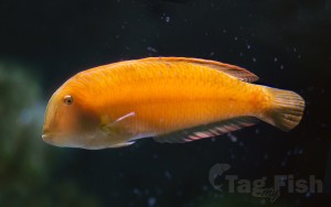
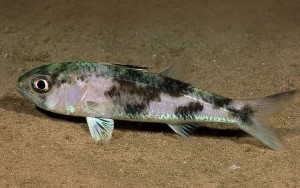
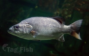
Perciformes - Perches
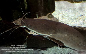
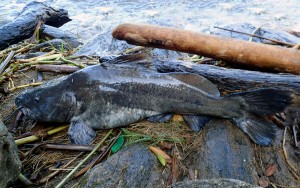
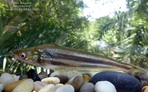
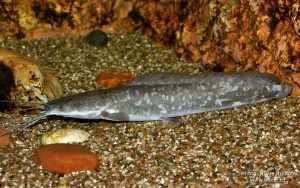
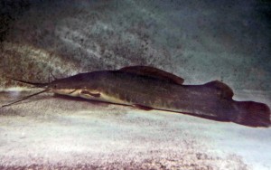
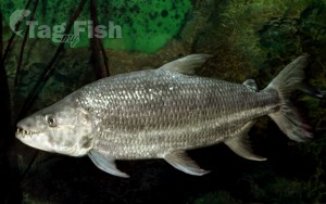
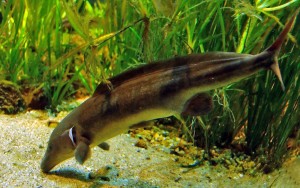
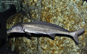
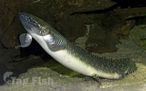
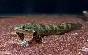
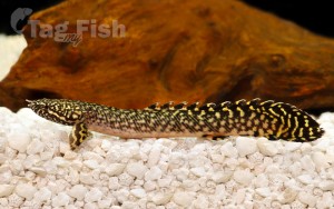
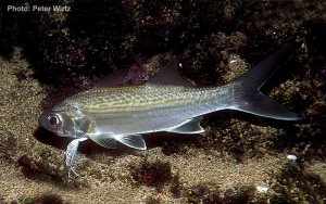
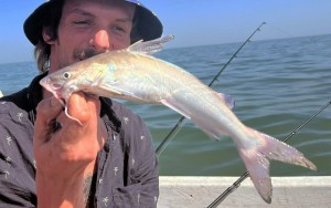
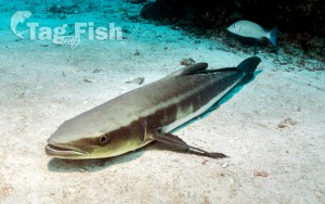
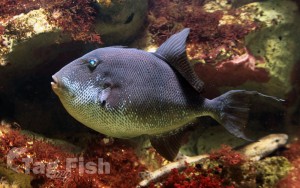
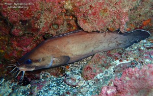
Siluriformes - Catfishes
Cypriniformes - Carps
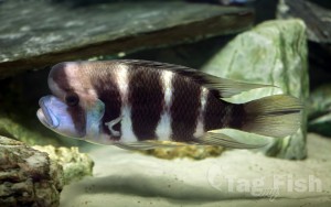
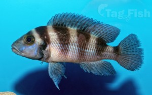
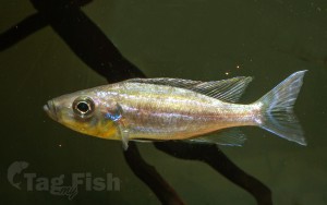
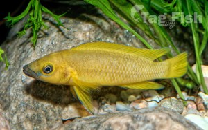
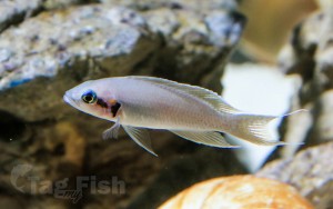
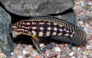
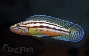
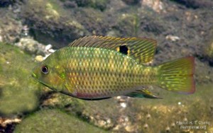
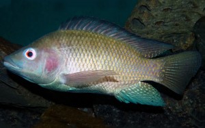
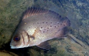
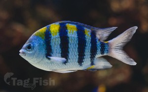
Cichliformes - Cichlids
Characiformes - Characins
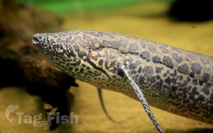
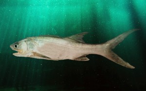
Osteoglossiformes - Bony tongues
Ceratodontiformes - Lungfishes
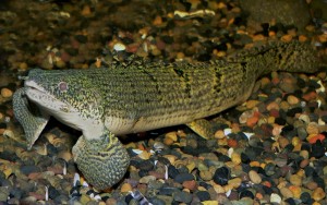
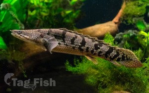
Polypteriformes - Bichirs
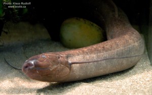
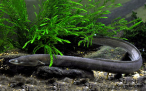
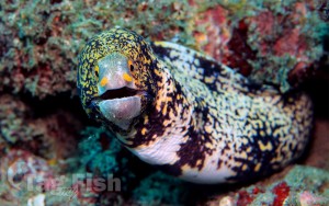
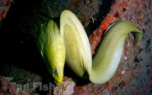
Anguilliformes - Eels and morays
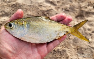
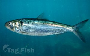
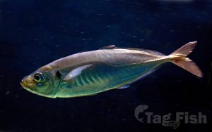
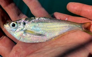
Clupeiformes - Herrings
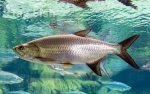
Elopiformes - Tarpons and tenpounders
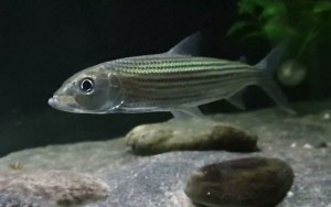
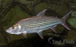
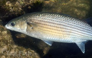
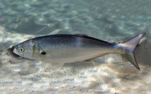
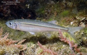
Mugiliformes - Mullets
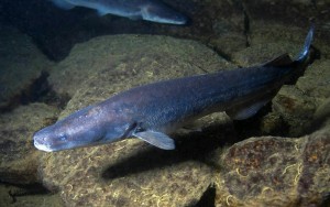
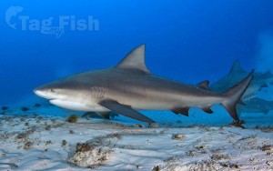
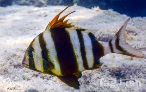
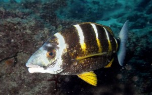
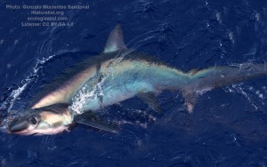
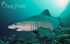
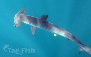
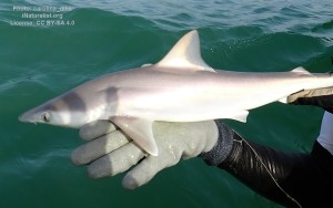
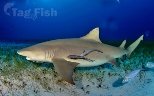
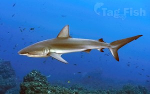
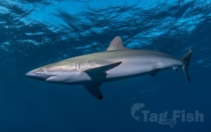
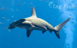
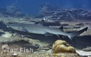
Carcharhiniformes - Ground sharks
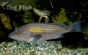
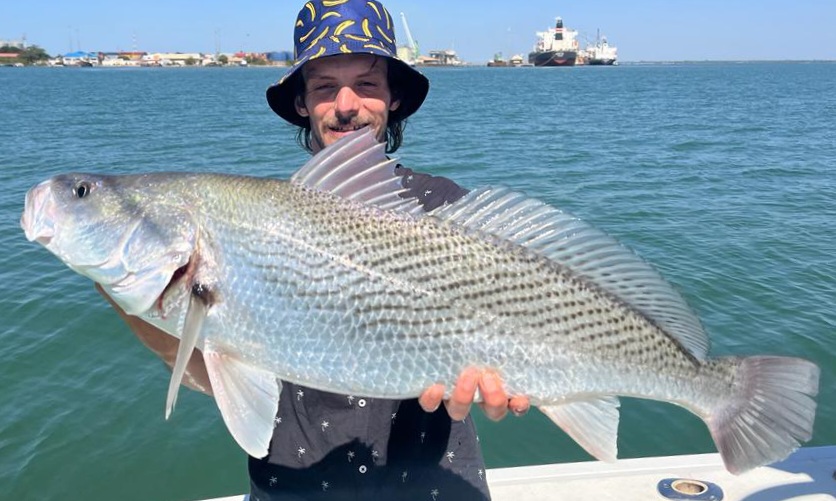
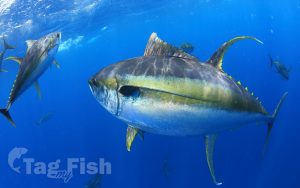
Perciformes - Perches
Siluriformes - Catfishes
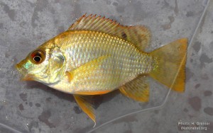
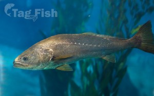
Centrarchiformes - Basses and sunfishes
Gadiformes - Cods
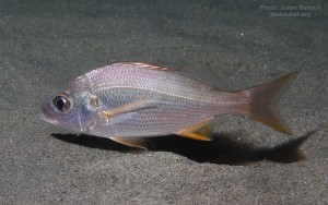
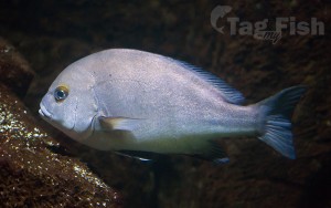
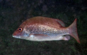
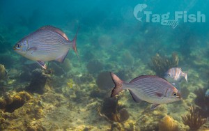
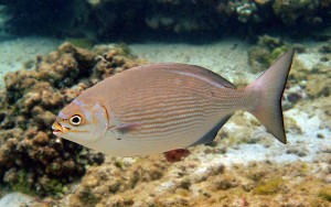
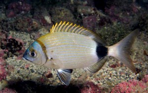
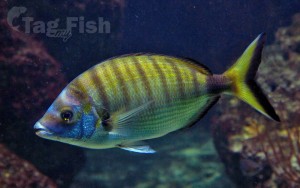
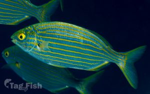
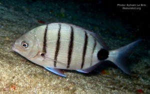
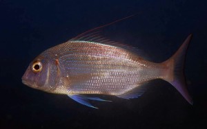
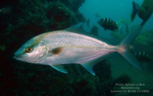
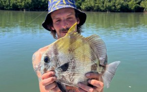
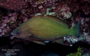
Spariformes - Breams and porgies
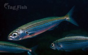
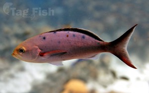
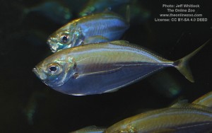
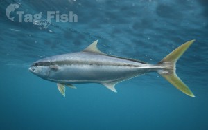
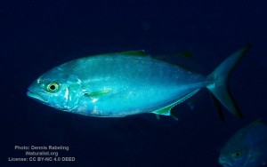
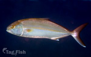
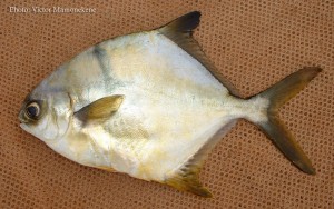
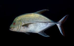
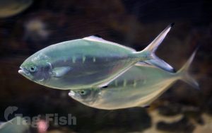
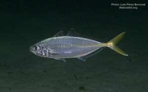
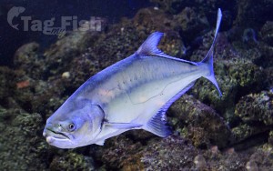
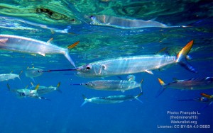
Carangiformes - Jacks
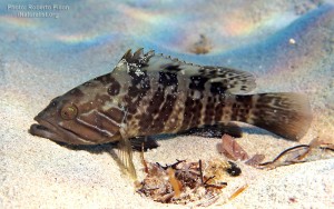
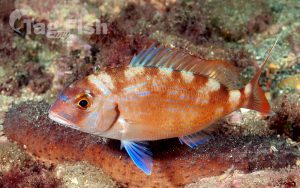
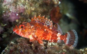
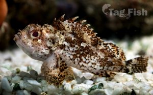
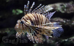
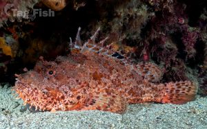
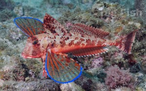
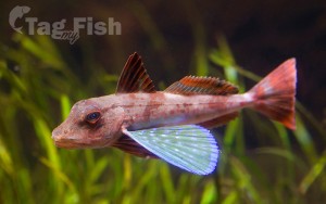
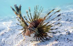
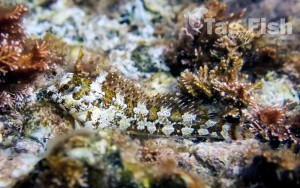
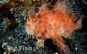
Scorpaeniformes - Mail-cheeked fishes
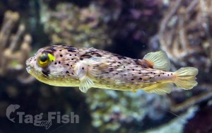
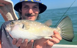
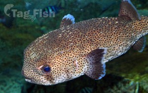
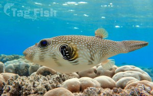
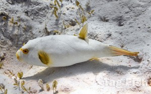
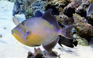
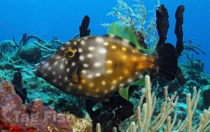
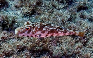
Tetraodontiformes - Puffers and filefishes

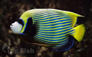
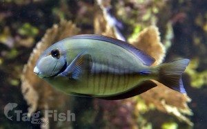
Acanthuriformes - Surgeonfishes
Clupeiformes - Herrings
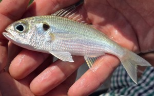
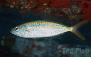
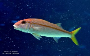
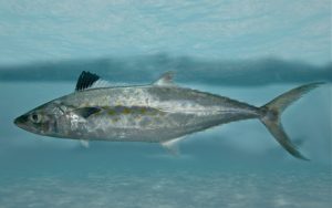
Mulliformes - Goatfishes
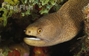
Anguilliformes - Eels and morays
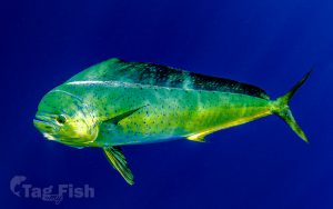
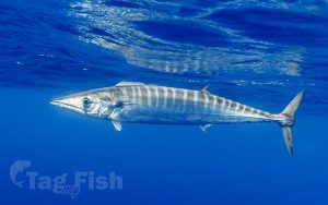
Scombriformes - Mackerels
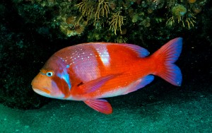
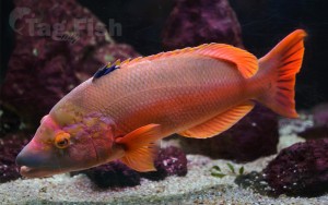
Labriformes - Wrasses
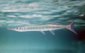
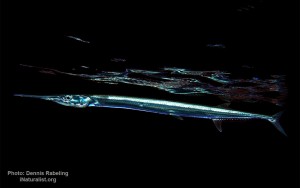
Beloniformes - Needlefishes
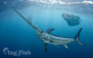
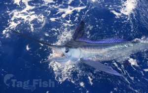
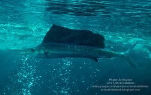
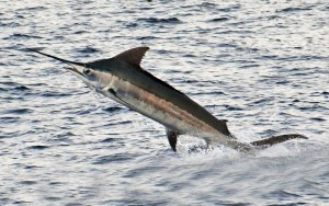
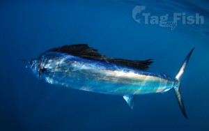
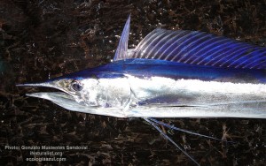
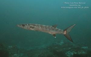
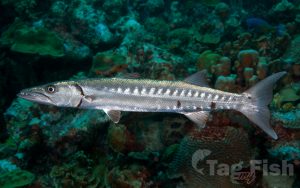
Istiophoriformes - Barracudas
Elopiformes - Tarpons and tenpounders
Mugiliformes - Mullets
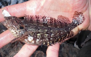
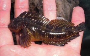
Blenniiformes - Blennies
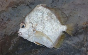
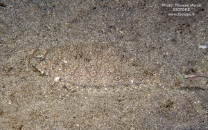
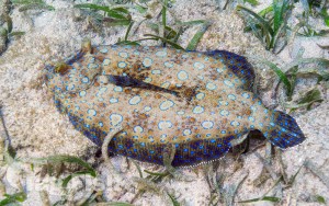
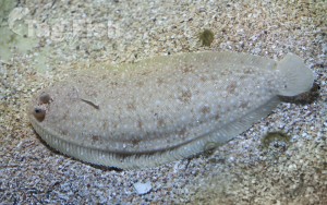
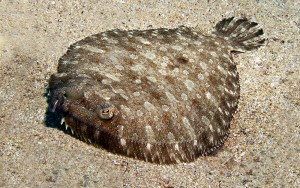
Pleuronectiformes - Flatfishes
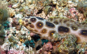
Gobiiformes - Gobies
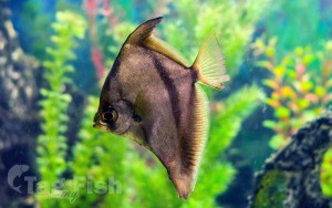
Acropomatiformes - Oceanic basses
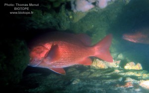
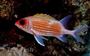
Holocentriformes - Squirrelfishes
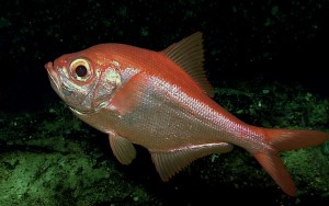
Beryciformes - Sawbellies
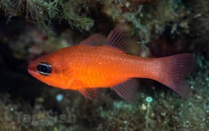
Kurtiformes - Nurseryfishes & Cardinalfishes
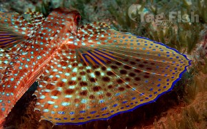
Dactylopteriformes - Flying gurnards
Lophiiformes - Anglerfishes
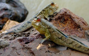
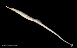
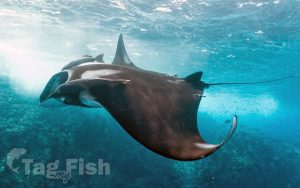
Syngnathiformes - Pipefishes and Seahorses
Lampriformes - Lamprids
Atheriniformes - Silversides
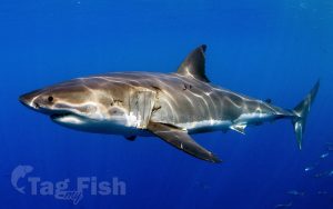
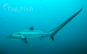
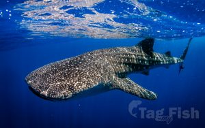
Lamniformes - Mackerel sharks
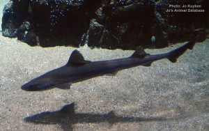
Carcharhiniformes - Ground sharks
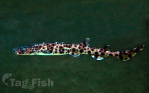
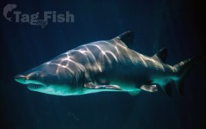
Orectolobiformes - Carpet shark
Squaliformes - Sleeper and dogfish sharks
Gonorynchiformes - Milkfishes
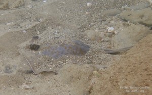
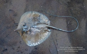
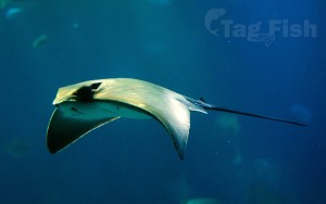
Rajiformes - Skates and rays
Ophidiiformes - Cusk-eels

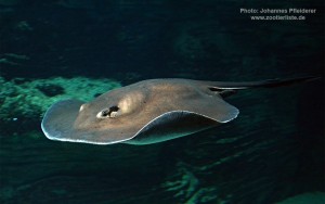
Myliobatiformes - Stingrays
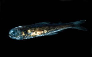
Myctophiformes - Lanternfishes
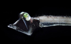
Stylephoriformes - Tube-eyes
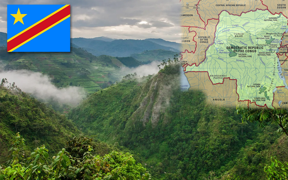
The Democratic Republic of the Congo (DRC), also known as Congo-Kinshasa and formerly known as Zaire, is a country in Central Africa bordered to the west by the South Atlantic Ocean.
By land area, the DRC is the second-largest country in Africa and the 11th-largest in the world.
With a population of around 108 million, the Democratic Republic of the Congo is the most populous officially Francophone country in the world.
The national capital and largest city is Kinshasa, which is also the nation’s economic center.
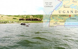
The country is bordered by the Republic of the Congo, Central African Republic, South Sudan, Uganda, Rwanda, Burundi, Tanzania (across Lake Tanganyika), Zambia, Angola, and the Cabinda exclave of Angola.
As a result of its equatorial location, the DRC experiences high precipitation and has the highest frequency of thunderstorms in the world. The annual rainfall can total upwards of 2,000 millimetres (80 in) in some places, and the area sustains the Congo rainforest, the second-largest rain forest in the world after the Amazon rainforest. This massive expanse of lush jungle covers most of the vast, low-lying central basin of the river, which slopes toward the Atlantic Ocean in the west. This area is surrounded by plateaus merging into savannas in the south and southwest, by mountainous terraces in the west, and dense grasslands extending beyond the Congo River in the north. The glaciated Rwenzori Mountains are found in the extreme eastern region.
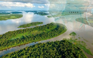
The tropical climate produced the Congo River system which dominates the region topographically along with the rainforest it flows through. The Congo Basin occupies nearly the entire country and an area of nearly 1,000,000 km2 (390,000 sq mi). The river and its tributaries form the backbone of Congolese economics and transportation. Major tributaries include the Kasai, Sangha, Ubangi, Ruzizi, Aruwimi, and Lulonga.
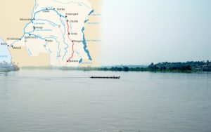
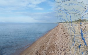
The Congo River has the second-largest flow and the second-largest watershed of any river in the world (trailing the Amazon in both respects). The sources of the Congo River are in the Albertine Rift Mountains that flank the western branch of the East African Rift, as well as Lake Tanganyika and Lake Mweru. The river flows generally west from Kisangani just below Boyoma Falls, then gradually bends southwest, passing by Mbandaka, joining with the Ubangi River, and running into the Pool Malebo (Stanley Pool). Kinshasa and Brazzaville are on opposite sides of the river at the Pool. Then the river narrows and falls through a number of cataracts in deep canyons, collectively known as the Livingstone Falls, and runs past Boma into the Atlantic Ocean. The river and a 37 kilometres (23 mi) wide strip of coastline on its north bank provide the country’s only outlet to the Atlantic.
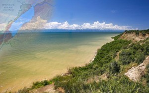
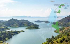
The Albertine Rift plays a key role in shaping the Congo’s geography. Not only is the northeastern section of the country much more mountainous, but tectonic movement results in volcanic activity, occasionally with loss of life. The geologic activity in this area also created the African Great Lakes, four of which lie on the Congo’s eastern frontier: Lake Albert, Lake Kivu, Lake Edward, and Lake Tanganyika.
The rift valley has exposed an enormous amount of mineral wealth throughout the south and east of the Congo, making it accessible to mining. Cobalt, copper, cadmium, industrial and gem-quality diamonds, gold, silver, zinc, manganese, tin, germanium, uranium, radium, bauxite, iron ore, and coal are all found in plentiful supply, especially in the Congo’s southeastern Katanga region.
On 17 January 2002 Mount Nyiragongo erupted, with the lava running out at 64 km/h (40 mph) and 46 m (50 yd) wide. One of the three streams of extremely fluid lava flowed through Goma, killing 45 and leaving 120,000 homeless. Four hundred thousand people were evacuated from the city during the eruption. The lava poisoned the water of Lake Kivu, killing fish. Only two planes left the local airport because of the possibility of the explosion of stored petrol. The lava passed the airport, ruining a runway and trapping several airplanes. Six months after the eruption, nearby Mount Nyamuragira also erupted. Mount Nyamuragira then erupted in 2006 and again in January 2010.
