
Largest tributaries

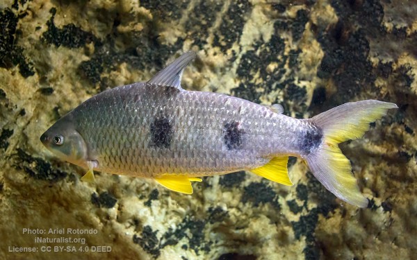
Characiformes - Characins
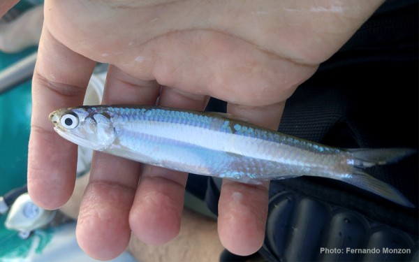
Clupeiformes - Herrings
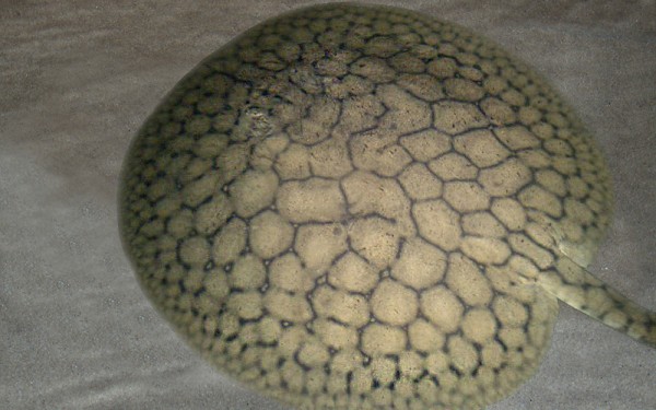
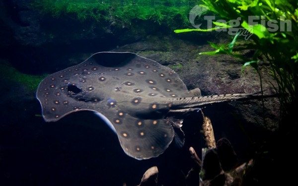
Myliobatiformes - Stingrays
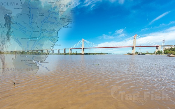
The Río de la Plata, called River Plate or Platine River in British English and the Commonwealth and La Plata River (occasionally Plata River) in other English-speaking countries, is the estuary formed by the confluence of the Uruguay River and the Paraná River at Punta Gorda. It empties into the Atlantic Ocean and forms a funnel-shaped indentation on the southeastern coastline of South America. Depending on the geographer, the Río de la Plata may be considered a river, an estuary, a gulf, or a marginal sea. If considered a river, it is the widest in the world, with a maximum width of 220 kilometres (140 mi).
The estuary is about 290 kilometres (180 mi) long and widens from about 2 kilometres (1.2 mi) at its source to about 220 kilometres (140 mi) at its mouth. It forms part of the border between Argentina and Uruguay. The name Río de la Plata is also used to refer to the populations along the estuary, especially the main port cities of Buenos Aires and Montevideo, where Ríoplatense Spanish is spoken and tango culture developed. The coasts of the river are the most densely-populated areas of Uruguay and Argentina.
The Río de la Plata behaves as an estuary in which freshwater and seawater mix. The freshwater comes principally from the Paraná River (one of the world’s longest rivers and La Plata’s main tributary) as well as from the Uruguay River and other smaller streams. Currents in the Río de la Plata are dominated by tides reaching to its sources and beyond, into the Uruguay and Paraná rivers. Both rivers are tidally influenced for about 190 kilometres (120 mi). The tidal ranges in the Río de la Plata are small, but its great width allows for a tidal prism important enough to dominate the flow regime despite the huge discharge received from the tributary rivers.
The river is a salt wedge estuary in which saltwater, being more dense than freshwater, penetrates into the estuary in a layer below the freshwater, which floats on the surface. Salinity fronts, or haloclines, form at the bottom and on the surface, where fresh and brackish waters meet. The salinity fronts are also pycnoclines due to the water density discontinuities. They play an important role in the reproductive processes of fish species.
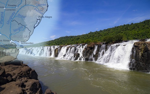
The main rivers of the La Plata basin are the Paraná River, the Paraguay River (the Paraná’s main tributary), and the Uruguay River.
The Paraná River’s main tributaries include the Paranaíba River, Grande River, Tietê River, Paranapanema River, Iguazu River, Paraguay River, and the Salado River, after which it ends in the large Paraná Delta. The Paraguay River flows through the Pantanal wetland, after which its main tributaries include the Pilcomayo River and the Bermejo River, before it ends in the Paraná. The Uruguay’s main tributaries include the Pelotas River, Canoas River, Ibicuí River, and the Río Negro. Another significant tributary to the Río de la Plata is the Salado del Sur River.


