
Largest tributaries

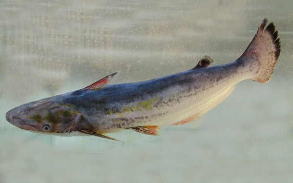
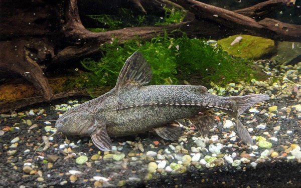
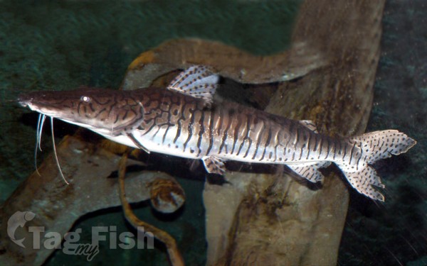
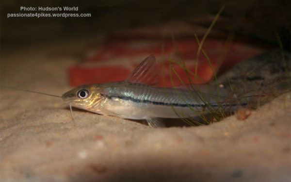
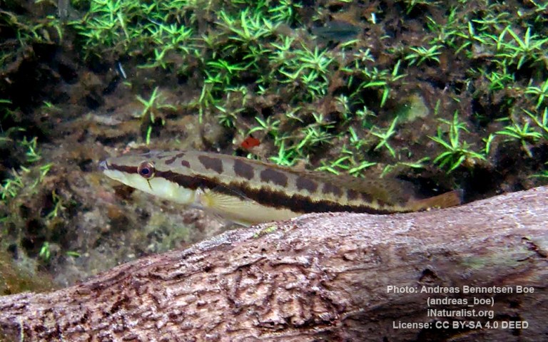
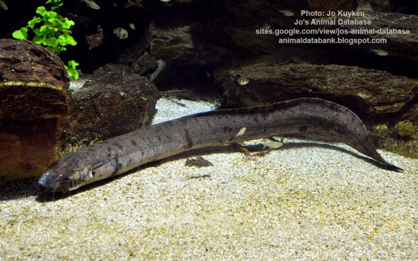
Siluriformes - Catfishes
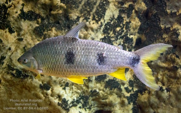
Cichliformes - Cichlids
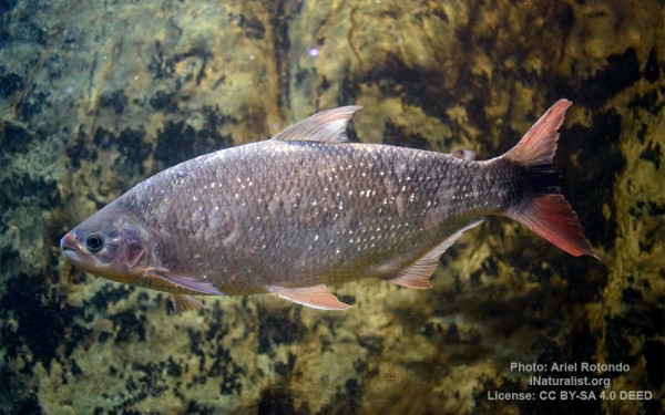
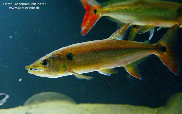
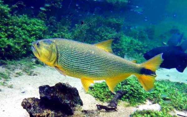
Characiformes - Characins

Ceratodontiformes - Lungfishes
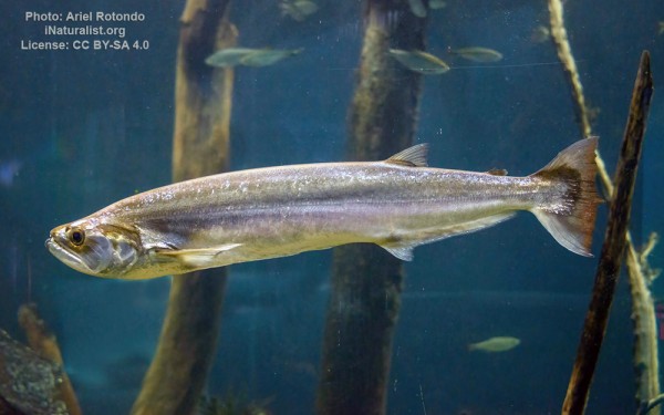
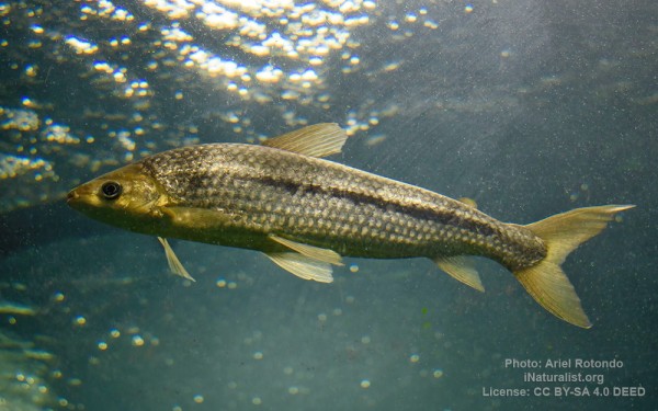
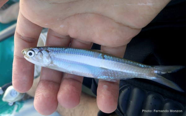
Clupeiformes - Herrings
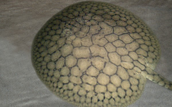
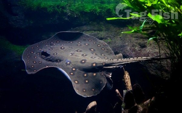
Myliobatiformes - Stingrays
The Uruguay River is one of the a major rivers in South America. It flows from north to south and forms parts of the boundaries of Brazil, Argentina, and Uruguay.
The river measures about 1,838 kilometres (1,142 mi) in length and starts in the Serra do Mar in Brazil, where the Canoas River and the Pelotas River are joined, at about 200 metres (660 ft) above mean sea level. In this stage the river goes through uneven, broken terrain, forming rapids and falls. Its course through Rio Grande do Sul is not navigable
An unusual feature of the Uruguay River is a submerged canyon. This canyon formed during the Ice Age, when the climate was drier and the river was narrower. Its depth is up to 100 metres (330 ft) below the bottom of the river channel and it is 1/8 to 1/3 as wide as the river. The canyon is only visible in two places, one of which is the Moconá Falls (also called the Yucumã Falls). However, the falls are not visible for 150 days per year and become more like rapids when they are not visible. Unlike most waterfalls, the Moconá Falls are parallel to the river, not perpendicular. The falls are 10 metres (33 ft) to 12 metres (39 ft) high and between 1,800 metres (5,900 ft) and 3,000 metres (9,800 ft) wide. They are 1,215 kilometres (755 mi) from the mouth of the river. The 17,491 hectares (43,220 acres) Turvo State Park, created in 1947, protects the Brazilian side of the falls.
Together with the Paraná River, the Uruguay forms the Río de la Plata estuary. It is navigable from around Salto Chico. Its main tributary is the Río Negro, which is born in the south of Brazil and goes through Uruguay for 500 km until its confluence with the Uruguay River, which is located 100 km north of the Uruguay’s confluence with the Río de la Plata, in Punta Gorda, Colonia Department, Uruguay.
The river is crossed by five international bridges called (from north to south): Integration Bridge and Paso de los Libres-Uruguaiana International Bridge, between Argentina and Brazil; and the Salto Grande Bridge, General Artigas Bridge and Libertador General San Martín Bridge between Argentina and Uruguay.
The drainage basin of the Uruguay River has an area of 365,000 square kilometres (141,000 sq mi). Its main economic use is the generation of hydroelectricity and it is dammed in its lower portion by the Salto Grande Dam and by the Itá Dam upstream in Brazil.


