
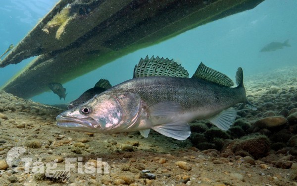
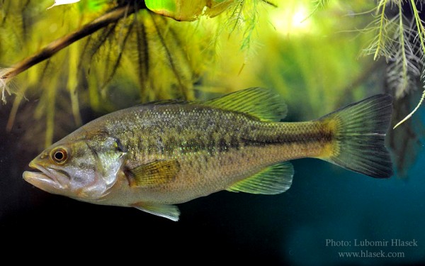
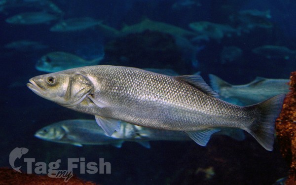
Perciformes - Perches
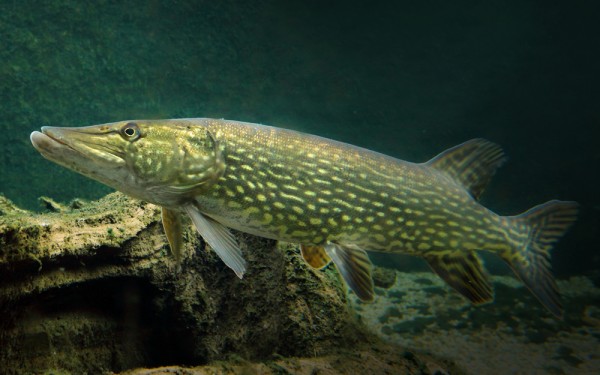
Esociformes - Pikes
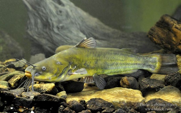
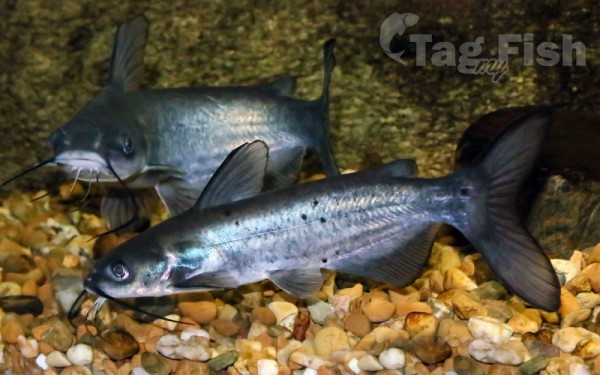
Siluriformes - Catfishes
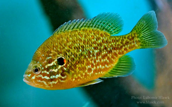
Centrarchiformes - Basses and sunfishes
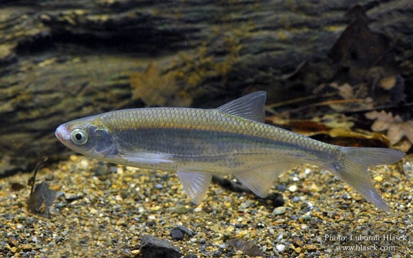
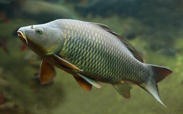
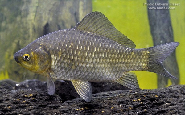
Cypriniformes - Carps


The Cijara Reservoir was built in 1956 as part of the Badajoz Plan on the Guadiana River in an area known as Portillo de Cijara, on the border between the provinces of Cáceres and Badajoz.
It inundates a total of 6,565 hectares and has a tail length of 45 km, affecting the population centers of Villarta de los Montes, Helechosa de los Montes, Poblado de Cijara, Anchuras, Bohonal de los Montes, Santa Quitera, and Puerto Rey.
The main rivers that feed it are the Guadiana and the Estena River.
The reservoir is located within the Cijara National Hunting Reserve, comprised of areas of great beauty within the over 25,000 hectares of this protected area that shelters deer, wild boars, fallow deer, otters, eagles, partridges, lynxes, black storks, and more. Additionally, the Cijara Reservoir is one of the best national fishing reserves in Extremadura, where specimens of pike, black bass, and barbel can be found.
The vegetation consists of Mediterranean forest and shrubland, although in some areas there are also reforested pine and eucalyptus groves.
The Cijara Reservoir has several recreational areas. These areas have parking lots for cars and picnic areas with barbecues. The most popular activities are swimming in summer and water activities such as boating and fishing. Activities such as hiking, off-road biking, horseback riding, hunting, bird watching, and environmental education can also be done. When the water level drops, the Mesta Bridge from the 14th century becomes visible, which used to be crossed by the Cañada Real de Segovia.


