Bangladesh
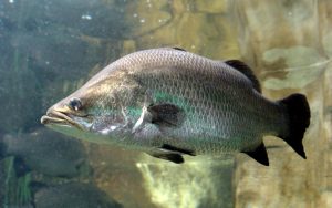
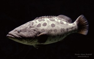
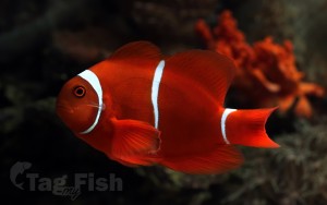
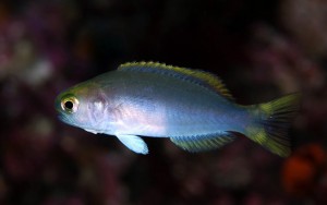
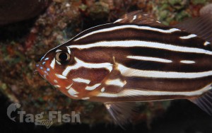
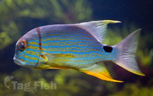
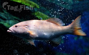
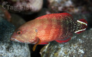
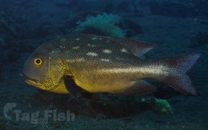
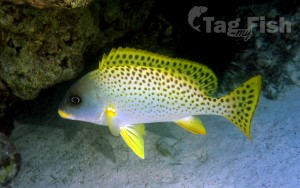
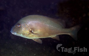
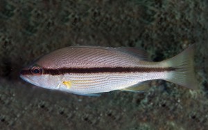
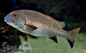
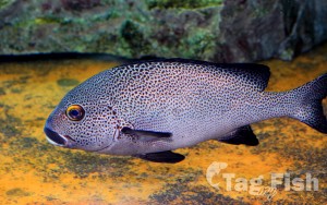
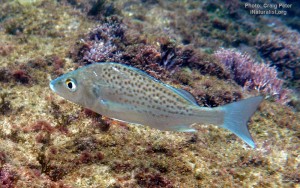
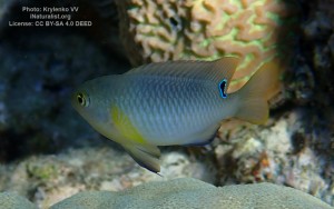
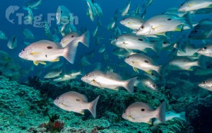
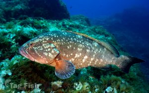
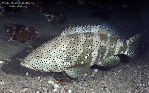
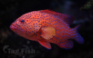
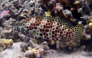
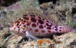
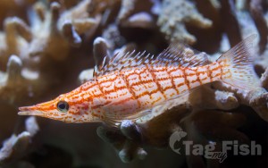
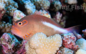
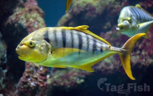
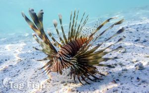
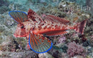
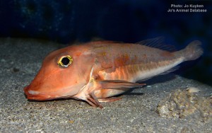
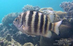
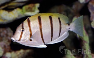
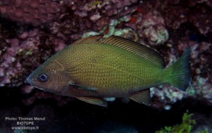
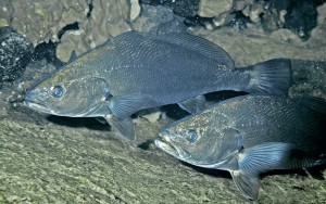
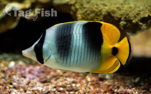
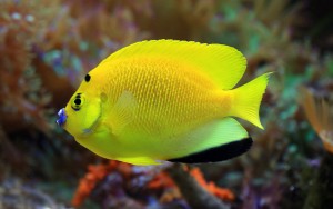
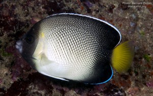
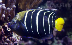
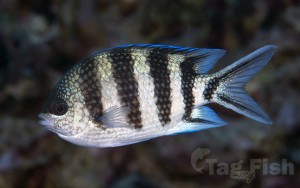
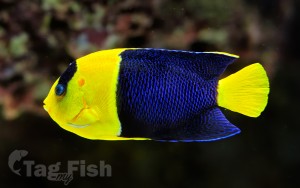
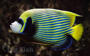
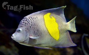
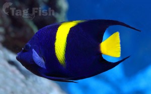
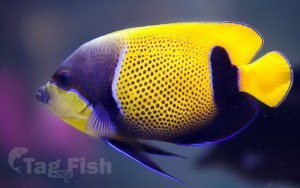
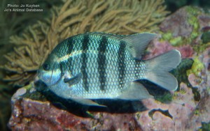
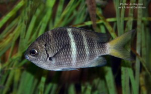
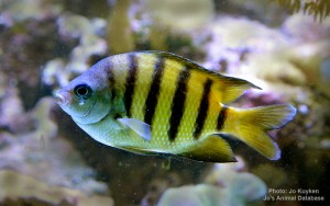
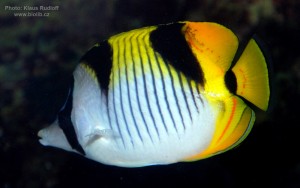
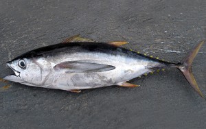
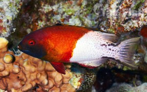
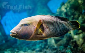
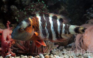
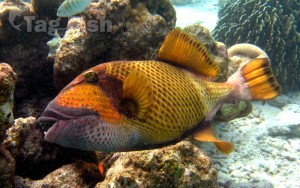
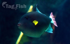
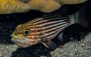
Perciformes - Perches
Siluriformes - Catfishes
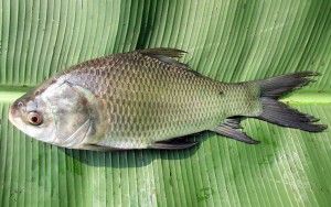
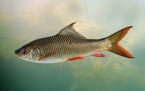
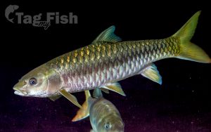
Cypriniformes - Carps
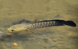
Anabantiformes - Gouramies and snakeheads
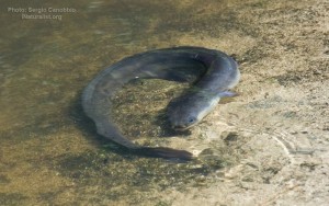
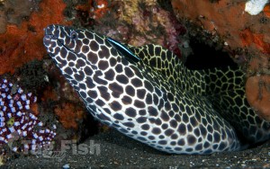
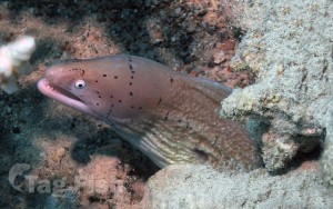
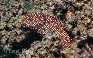
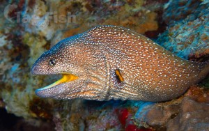
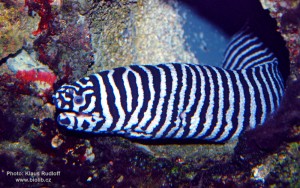
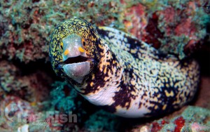
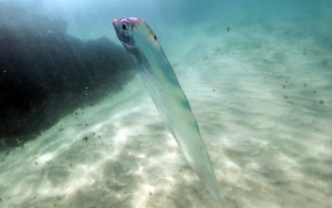
Anguilliformes - Eels and morays
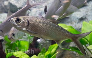
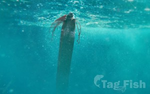
Elopiformes - Tarpons and tenpounders
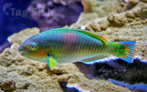
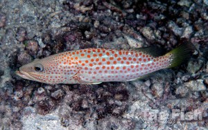
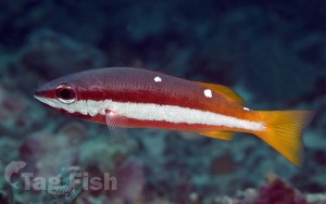
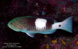
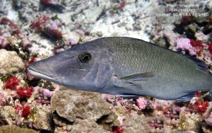
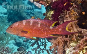
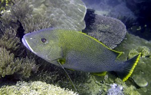
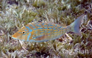
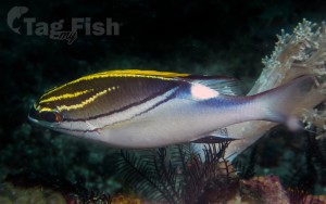
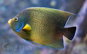
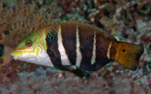
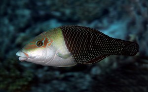
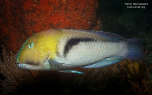
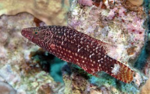
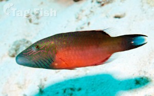
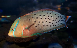
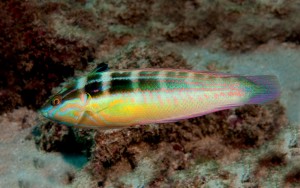
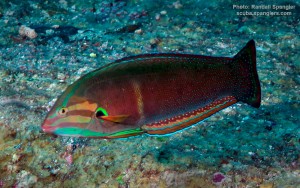
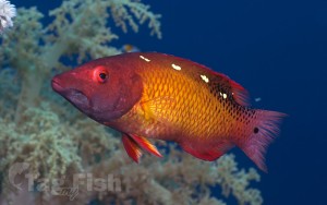
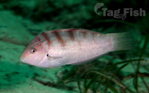
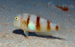
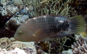
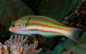
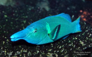
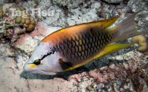
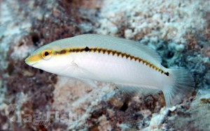
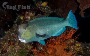
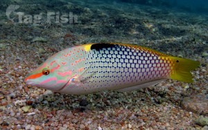
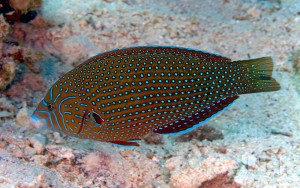
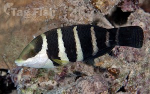
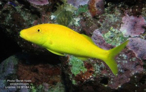
Labriformes - Wrasses
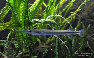
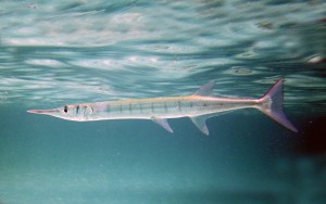
Beloniformes - Needlefishes
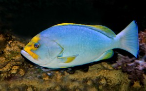
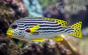
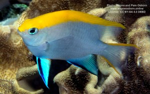
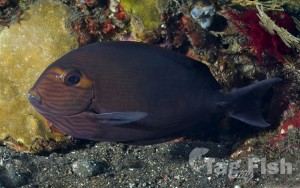
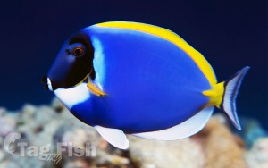
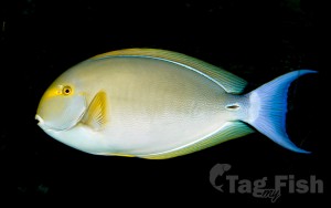
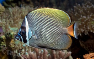
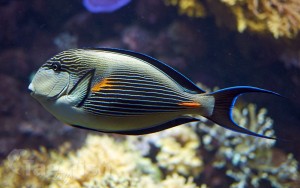
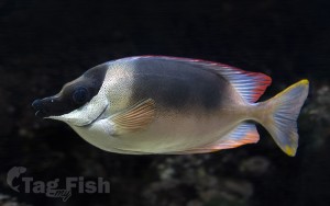
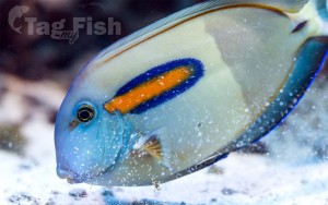
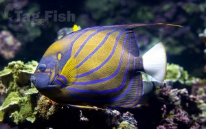
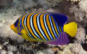
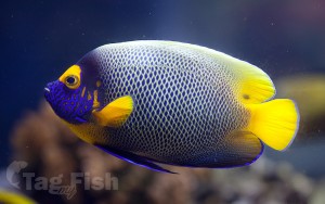
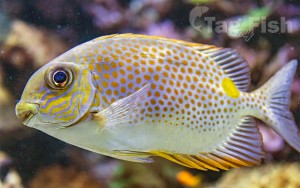
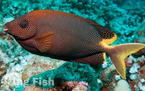
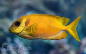
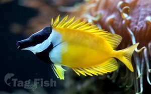
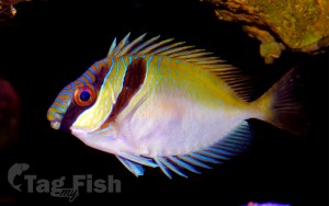
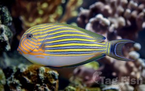
Acanthuriformes - Surgeonfishes
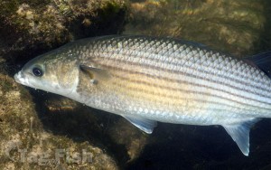
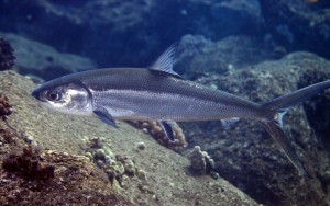
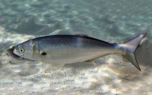
Mugiliformes - Mullets
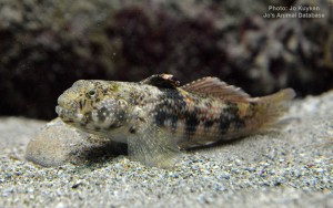
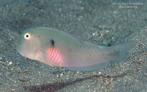
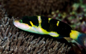
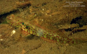
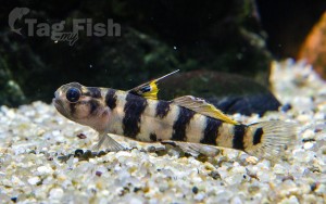
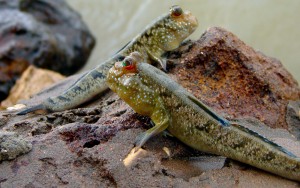
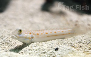
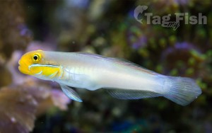
Gobiiformes - Gobies
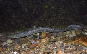
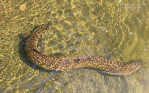
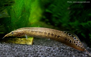
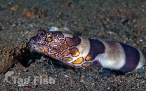
Synbranchiformes - Swamp eels
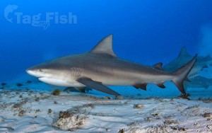
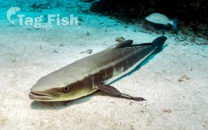
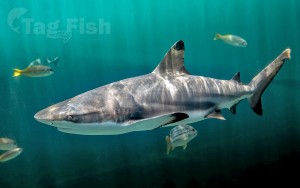
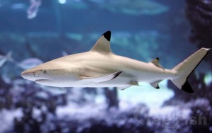
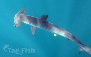
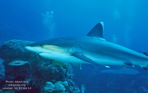
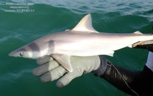
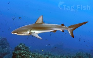
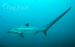
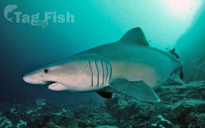
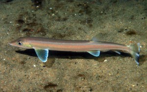
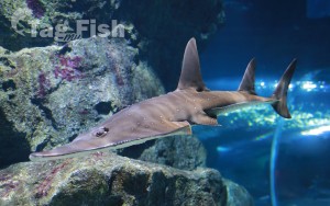
Carcharhiniformes - Ground sharks
Gonorynchiformes - Milkfishes
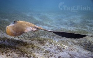
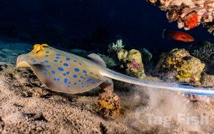
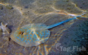
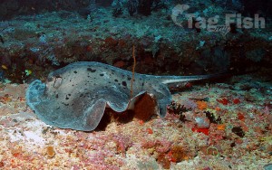
Myliobatiformes - Stingrays
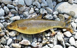
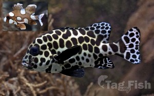
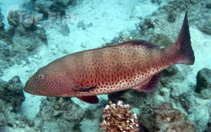
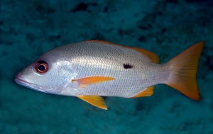
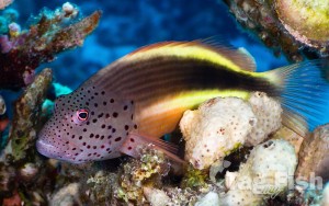
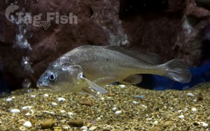
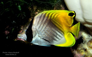
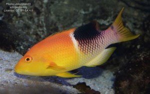
Perciformes - Perches

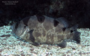
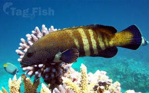
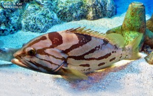
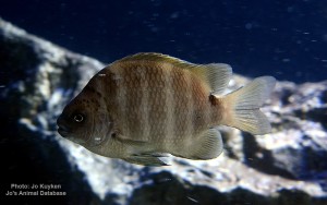
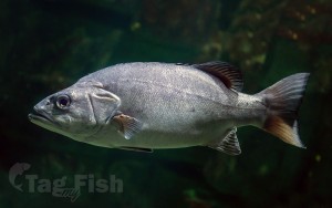
Centrarchiformes - Basses and sunfishes
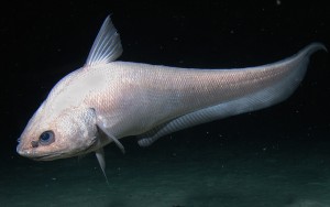
Gadiformes - Cods
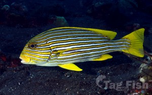
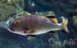
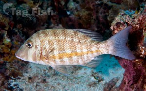
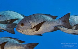
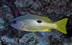
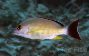
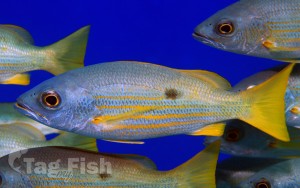
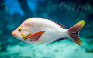
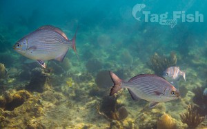
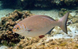
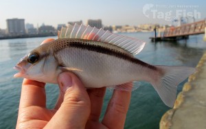
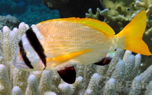
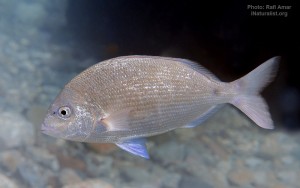
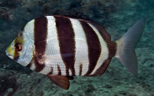
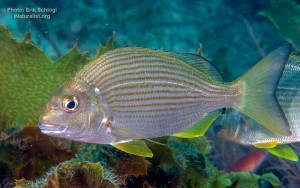
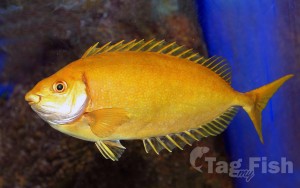
Spariformes - Breams and porgies
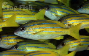
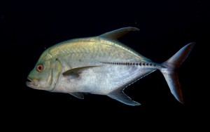
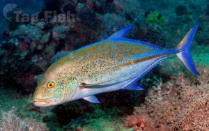
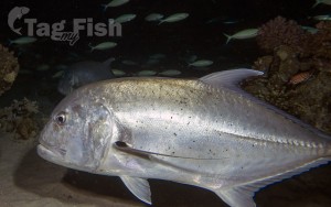
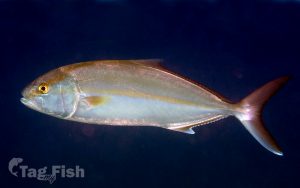
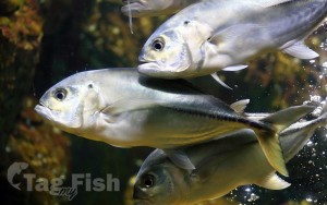
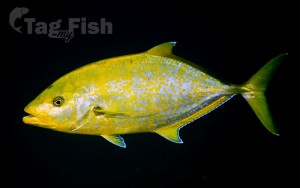
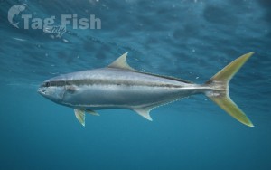
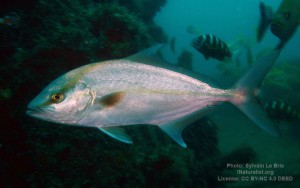
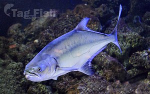
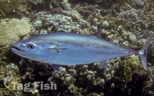
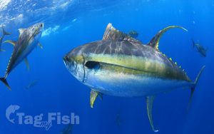
Carangiformes - Jacks
Beloniformes - Needlefishes
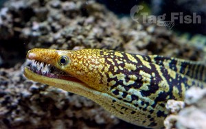
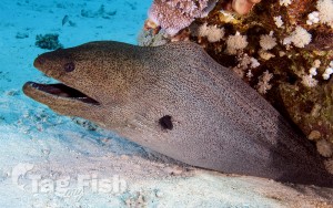
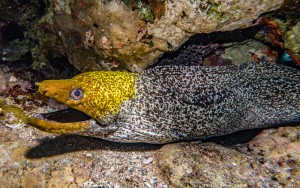
Anguilliformes - Eels and morays
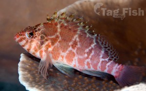
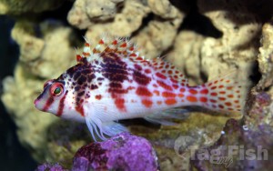
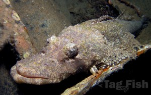
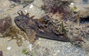
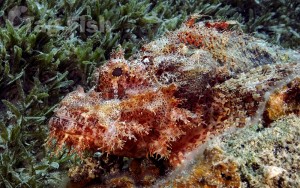
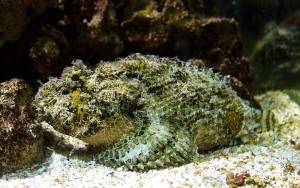
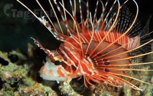
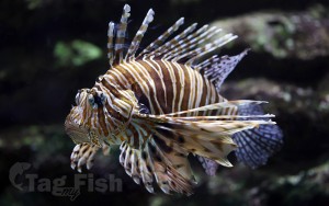
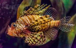
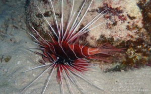
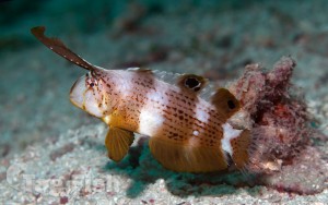
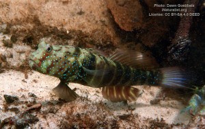
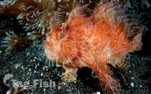
Scorpaeniformes - Mail-cheeked fishes
Acanthuriformes - Surgeonfishes

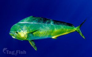
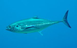
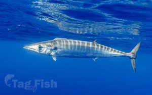
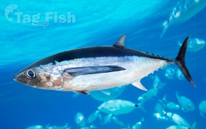
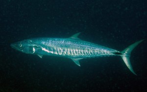
Scombriformes - Mackerels
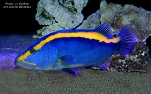
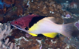
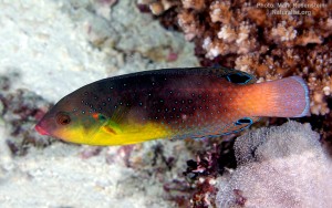
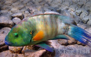
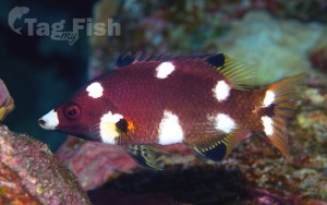
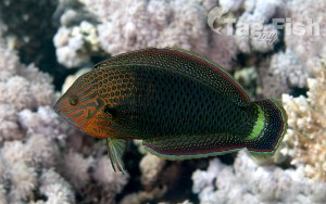
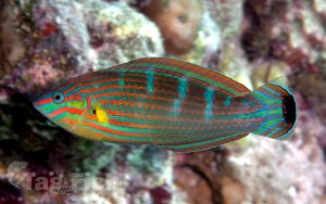
Labriformes - Wrasses
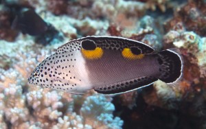
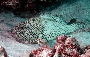
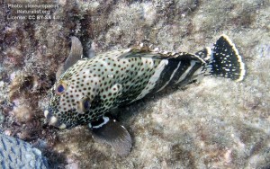
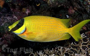
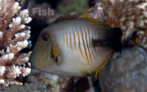
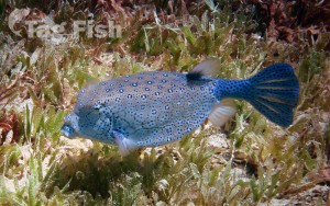
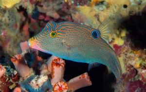
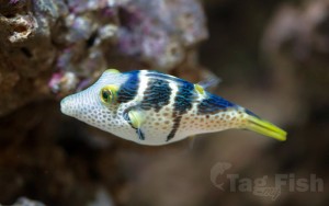
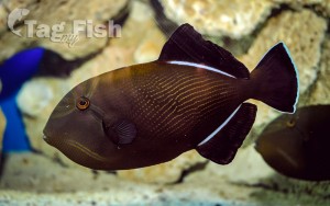
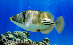
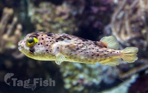
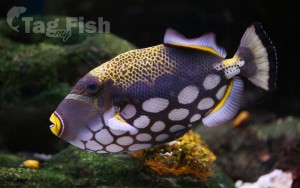
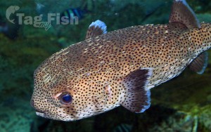
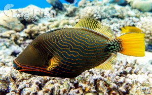
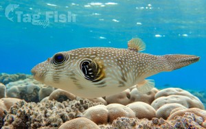
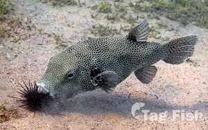
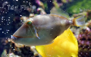
Tetraodontiformes - Puffers and filefishes

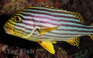
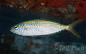
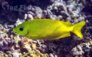
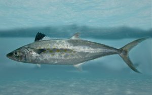
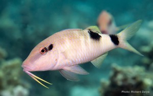
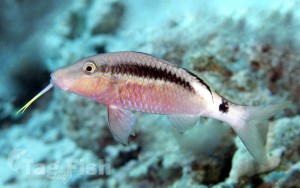
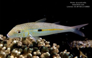
Mulliformes - Goatfishes
Elopiformes - Tarpons and tenpounders
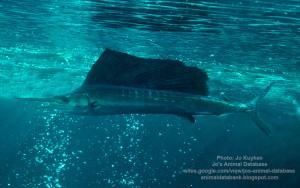
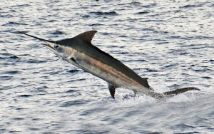
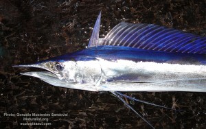
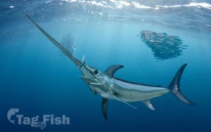
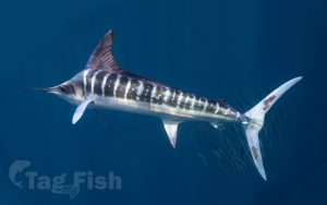
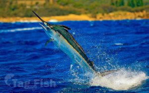
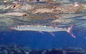
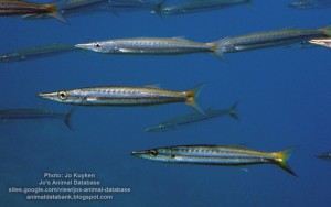
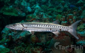
Istiophoriformes - Barracudas
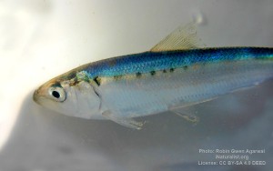
Clupeiformes - Herrings
Mugiliformes - Mullets
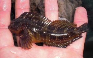
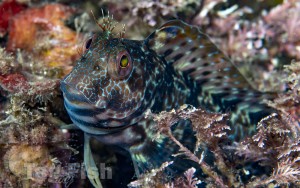
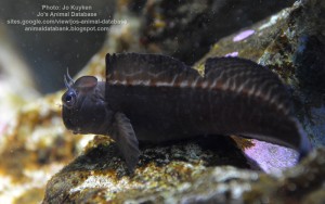
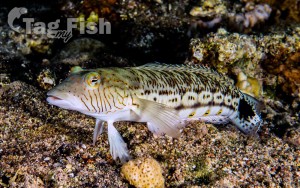
Blenniiformes - Blennies
Trachiniformes - Weeverfishes
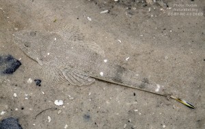
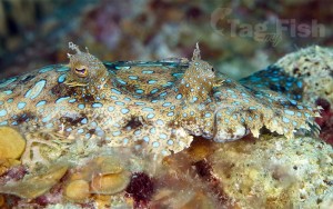
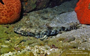
Pleuronectiformes - Flatfishes
Gobiiformes - Gobies
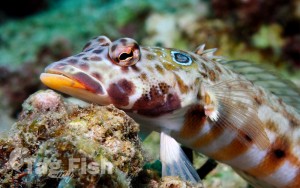
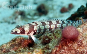
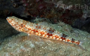
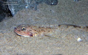
Aulopiformes - Grinners
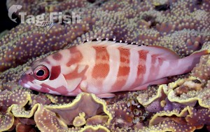
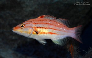
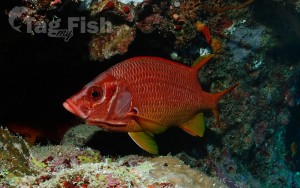
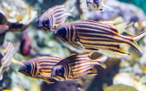
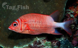
Holocentriformes - Squirrelfishes
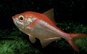
Beryciformes - Sawbellies
Acropomatiformes - Oceanic basses
Lampriformes - Lamprids
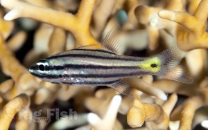
Kurtiformes - Nurseryfishes & Cardinalfishes
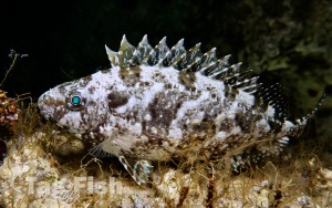
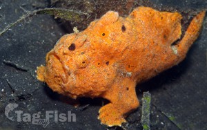
Lophiiformes - Anglerfishes

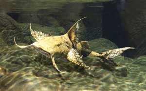
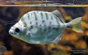
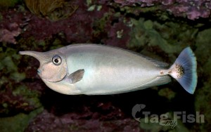
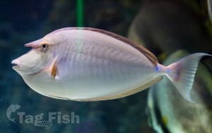
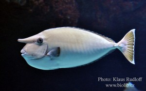
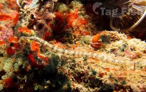
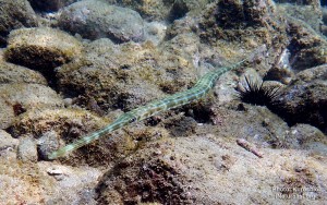
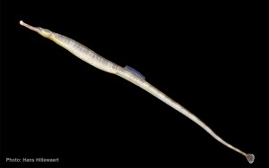
Syngnathiformes - Pipefishes and Seahorses

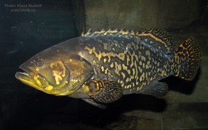
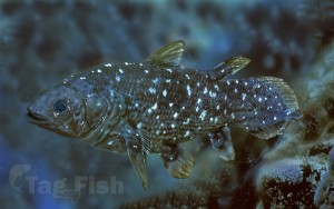
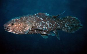
Coelacanthiformes - Coelacanths
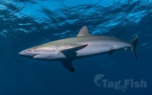
Carcharhiniformes - Ground sharks
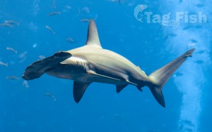
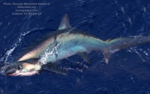
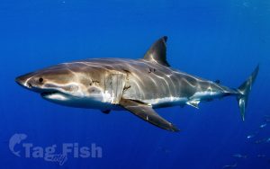
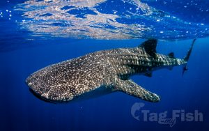
Lamniformes - Mackerel sharks
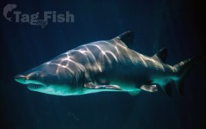
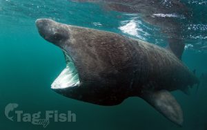
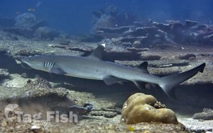
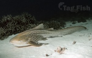
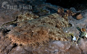
Orectolobiformes - Carpet shark
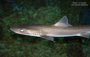
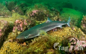
Squaliformes - Sleeper and dogfish sharks
Gonorynchiformes - Milkfishes
Myliobatiformes - Stingrays
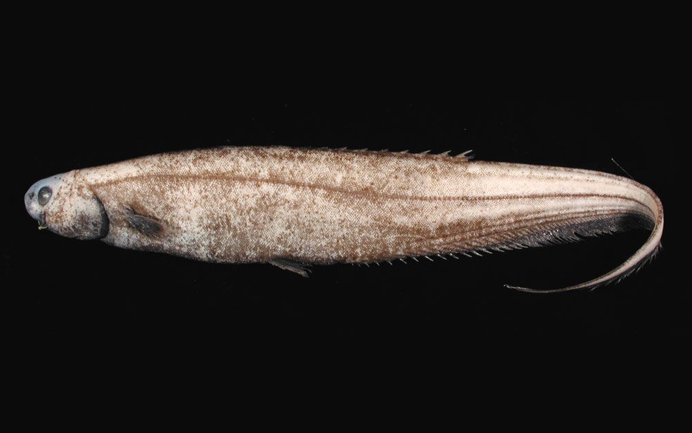
Ophidiiformes - Cusk-eels

Rhinopristiformes - Shovelnose rays
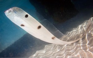
Notacanthiformes - Spiny eels
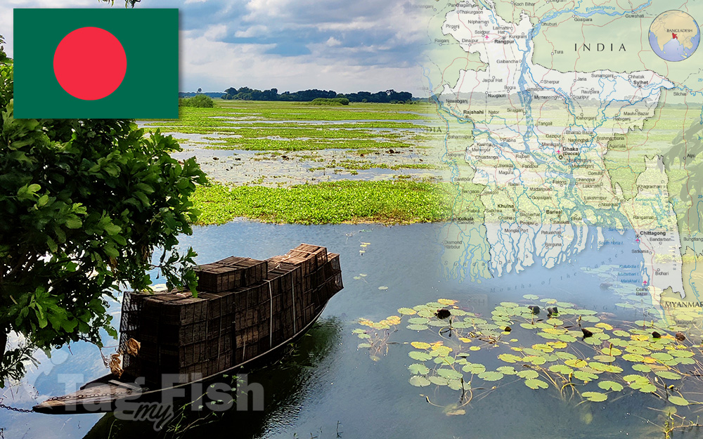
Bangladesh is a country in South Asia.
It is the eighth-most populous country in the world, with a population of around 169 million people in an area of 148,460 square kilometres (57,320 sq mi). Bangladesh is among the most densely populated countries in the world, and shares land borders with India to the west, north, and east, and Myanmar to the southeast; to the south it has a coastline along the Bay of Bengal. It is narrowly separated from Bhutan and Nepal by the Siliguri Corridor; and from China by the Indian state of Sikkim in the north.
Dhaka, the capital and largest city, is the nation’s political, financial and cultural centre. Chittagong, the second-largest city, is the busiest port on the Bay of Bengal.
The official language is Bengali, one of the easternmost branches of the Indo-European language family.
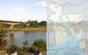
The country is divided into three regions. Most of the country is dominated by the fertile Ganges Delta, the largest river delta in the world. The northwest and central parts of the country are formed by the Madhupur and the Barind plateaus. The northeast and southeast are home to evergreen hill ranges.
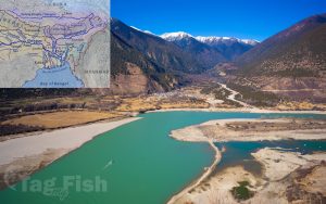
The Ganges delta is formed by the confluence of the Ganges (local name Padma or Pôdda), Brahmaputra (Jamuna or Jomuna), and Meghna rivers and their respective tributaries. The Ganges unites with the Jamuna (main channel of the Brahmaputra) and later joins the Meghna, finally flowing into the Bay of Bengal. Bangladesh is called the Land of Rivers; as it is home to over 57 trans-boundary rivers. However, this resolves water issues politically complicated, in most cases, as the country is a lower riparian state to India.
Bangladesh is predominantly rich fertile flat land. Most of it is less than 12 m (39 ft) above sea level, and it is estimated that about 10% of its land would be flooded if the sea level were to rise by 1 m (3.3 ft).[170] 17% of the country is covered by forests and 12% is covered by hill systems. The country\\\\\\\’s haor wetlands are of significance to global environmental science. The highest point in Bangladesh is the Saka Haphong, located near the border with Myanmar, with an elevation of 1,064 m (3,491 ft).[171] Previously, either Keokradong or Tazing Dong were considered the highest.
