
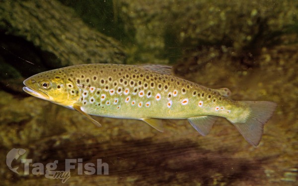
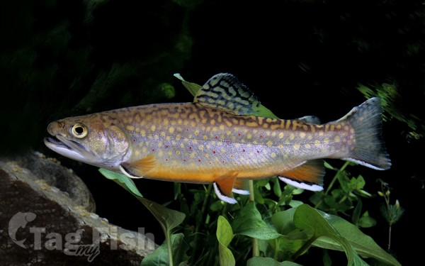
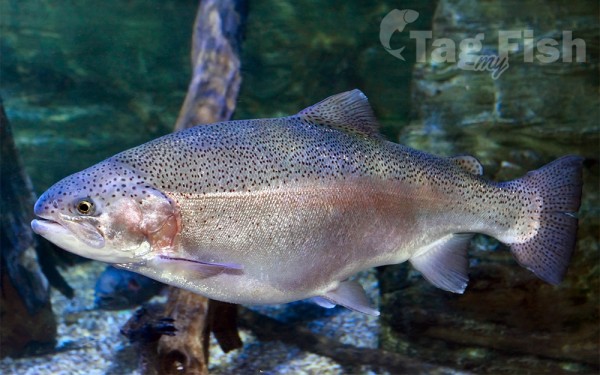
Salmoniformes - Salmons and Trouts
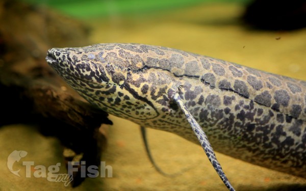
Ceratodontiformes - Lungfishes
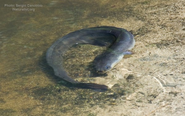
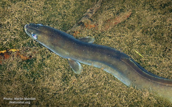
Anguilliformes - Eels and morays
The 1000 km long Tana River is the longest river in Kenya, and gives its name to the Tana River County. Its catchment covers ca. 100,000 km² and can be divided into the headwaters and the lower Tana consisting of the section downstream of Kora where the river flows for ca. 700 km through semi-arid plains.
Its tributaries include the Thika, Ragati River from Mt.Kenya as well as several smaller rivers that flow only during the rainy season.
The river rises in the Aberdare Mountains to the west of Nyeri. Initially it runs east before turning south around the massif of Mount Kenya.
A series of hydroelectric dams (the Seven Forks Hydro Stations or the Seven Forks Scheme) has been constructed along the river. These include (in order of cascading) the Masinga Dam (commissioned in 1981 with an installed capacity of 40 MW), the Kamburu Dam (1974, 94.20 MW), the Gitaru Dam (1978, 225.25 MW), the Kindaruma Dam (1968, 72 MW) and the Kiambere Dam (1988, 168 MW).
The Masinga Reservoir and the Kiambere Reservoir, created by the Masinga and Kiambere dams respectively, serve a dual purpose: hydro-electric power (HEP) generation and agricultural irrigation. The other three are used exclusively for HEP generation.
Below the dams, the river turns north and flows along the north-south boundary between the Meru and North Kitui and Bisanadi, Kora and Rabole National Reserves. In the reserves the river turns east, and then south east. It passes through the towns of Garissa, Hola and Garsen before entering the Indian Ocean at the Ungwana Bay-Kipini area, at the end of a river delta that reaches roughly 30 km upstream from the river mouth itself. It runs through a semi-arid area and irrigates the surrounding land.
There is growing evidence that climate change will disrupt the Tana River and its surrounding habitats.

