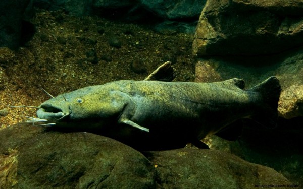
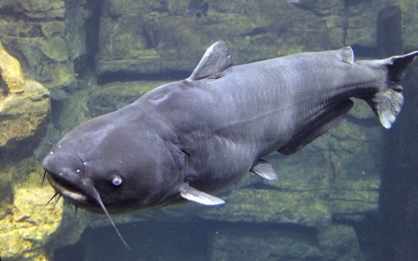
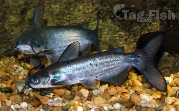
Siluriformes - Catfishes
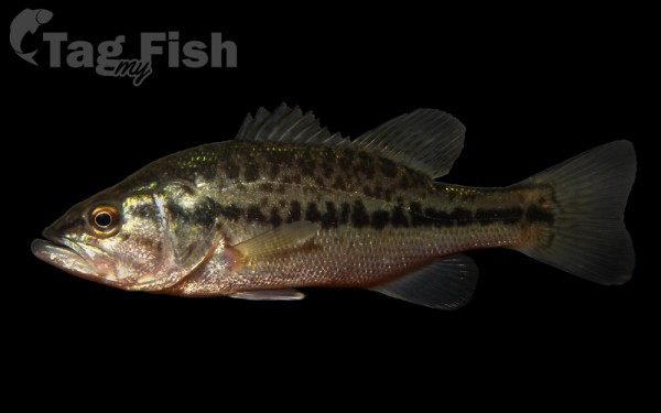
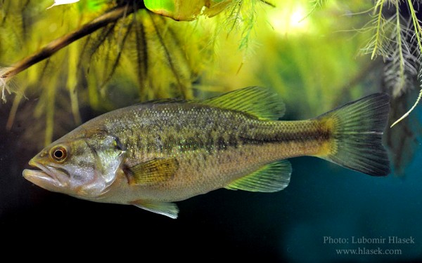
Centrarchiformes - Basses and sunfishes
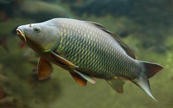
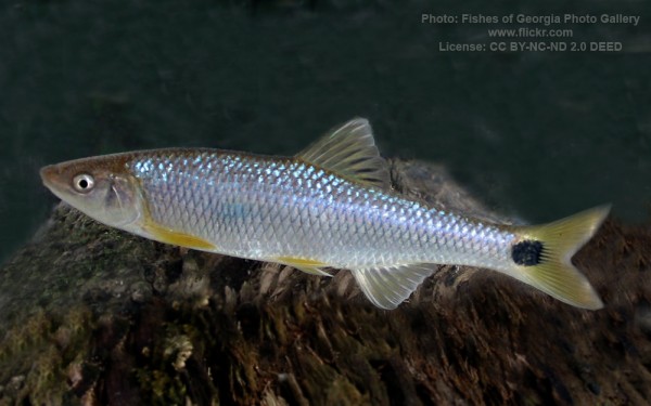
Cypriniformes - Carps
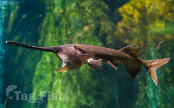
Acipenseriformes - Sturgeons and Paddlefish
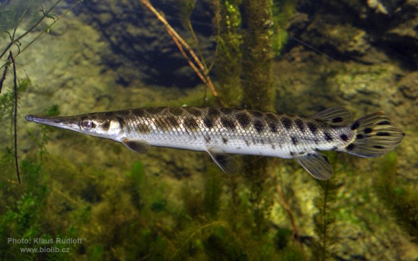
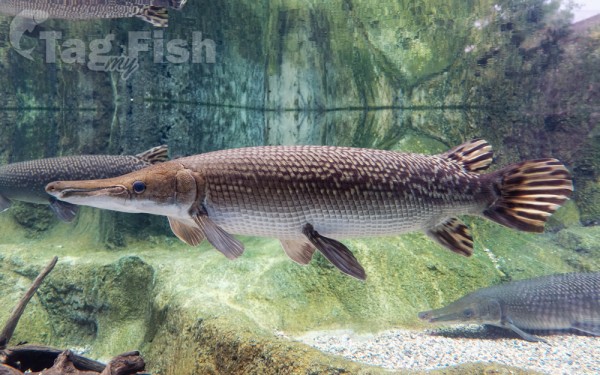
Lepisosteiformes - Gars
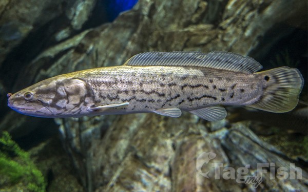
Amiiformes - Bowfins
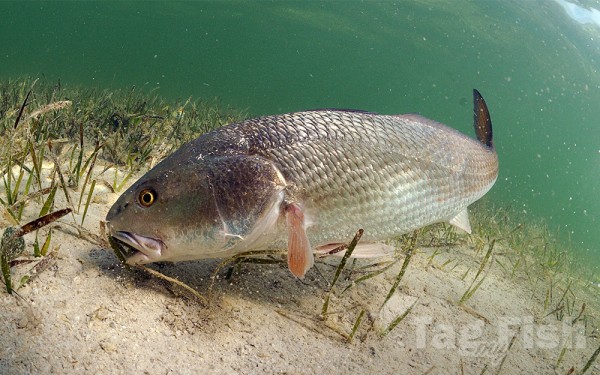
Acanthuriformes - Surgeonfishes
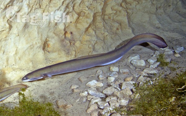
Anguilliformes - Eels and morays
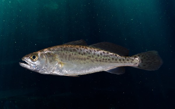
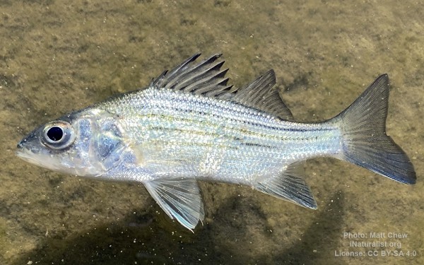
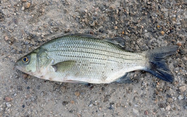
Moroniformes - Temperate basses
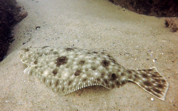
Pleuronectiformes - Flatfishes
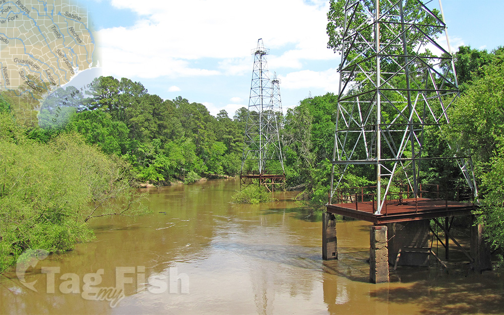
The Sabine River is a 360-mile (580 km) long river in the Southern U.S. states of Texas and Louisiana.
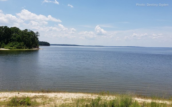
From the 32nd parallel north and downstream, it serves as part of the boundary between the two states and empties into Sabine Lake, an estuary of the Gulf of Mexico.
Over the first half of the 19th century, the river formed part of the Spanish–American, Mexican–American, and Texan–American international boundaries. The upper reaches of the river flow through the prairie country of northeast Texas. Along much of its lower reaches, it flows through pine forests along the Texas–Louisiana border, and eventually the bayou country near the Gulf Coast.
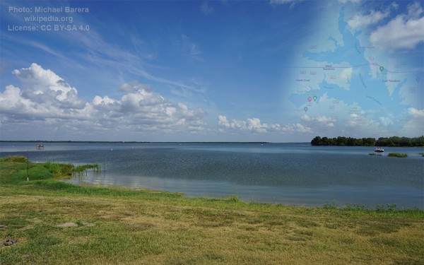
The river drains an area of 9,756 square miles (25,270 km2), of which 7,426 square miles (19,230 km2) are in Texas and 2,330 square miles (6,000 km2) in Louisiana. It flows through an area of abundant rainfall and discharges the largest volume of any river in Texas.
The name Sabine (es: Río de Sabinas) comes from the Spanish word for cypress, in reference to the extensive growth of bald cypresses along the lower river.
The river flows through an important petroleum-producing region, and the lower river near the Gulf is among the most industrialized areas of the southeastern United States. The river was often described as the dividing line between the Old South and the New Southwest.
The Sabine rises in northeast Texas by the union of three branches: the Cowleech Fork, Caddo Fork, and South Fork.