Largest tributaries
Artificial lakes
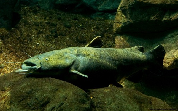
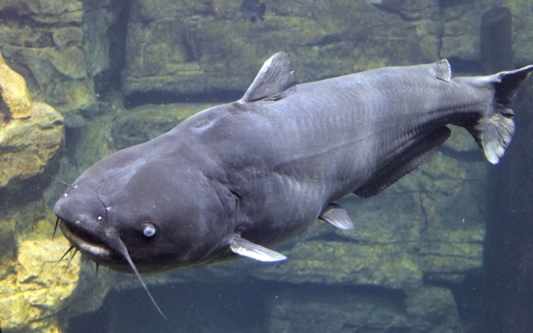
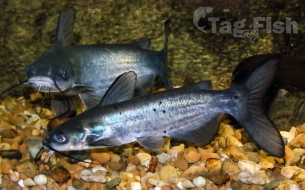
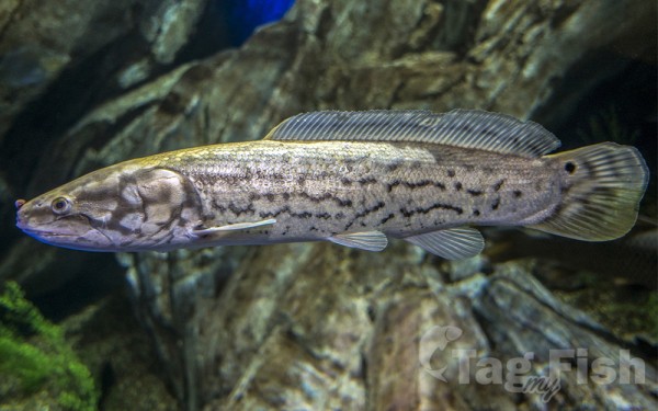
Siluriformes - Catfishes
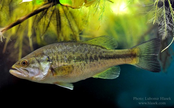
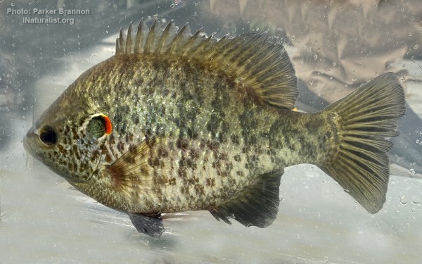
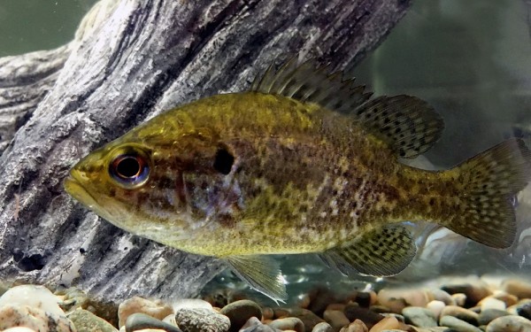
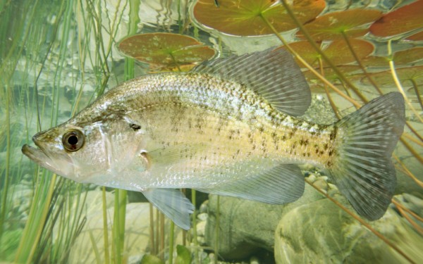
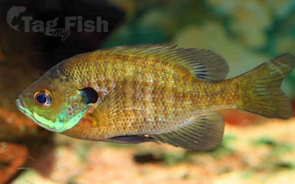
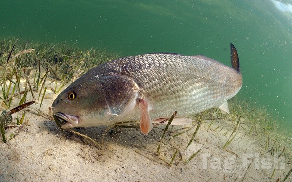
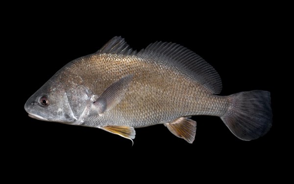
Centrarchiformes - Basses and sunfishes
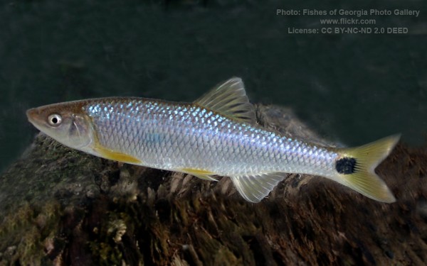
Cypriniformes - Carps
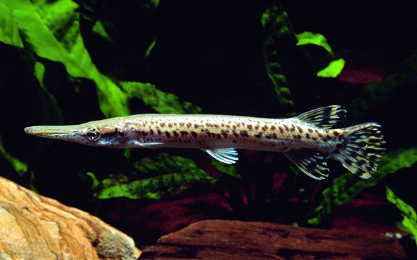
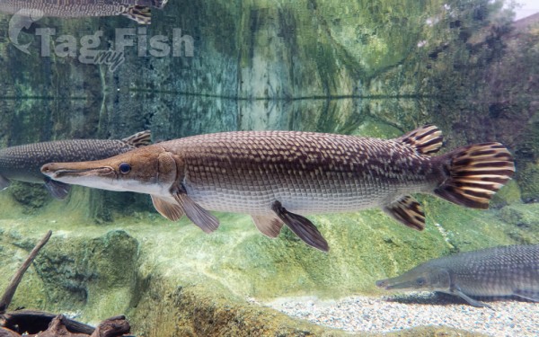
Lepisosteiformes - Gars
Amiiformes - Bowfins
Acanthuriformes - Surgeonfishes
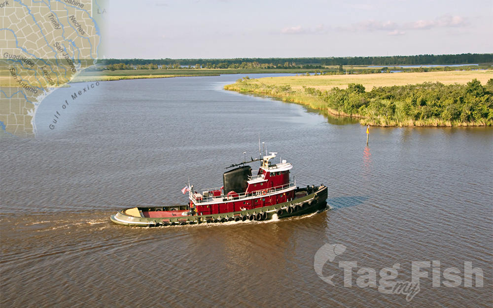
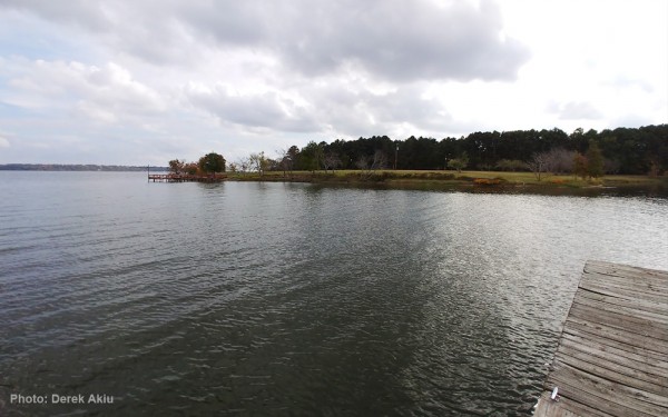
The Neches Riverbegins in Van Zandt County west of Rhine Lake and flows for 416 miles (669 km) through the piney woods of east Texas, defining the boundaries of 14 counties on its way to its mouth on Sabine Lake near the Rainbow Bridge in the Gulf od Mexico.
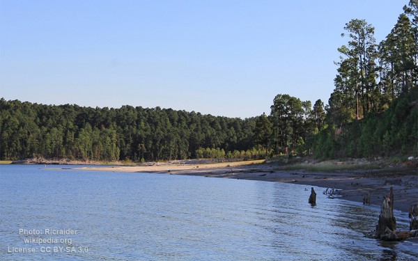
Two major reservoirs, Lake Palestine and B. A. Steinhagen Reservoir are located on the Neches.
The Angelina River (containing Sam Rayburn Reservoir) is a major tributary with its confluence at the north of Lake B. A. Steinhagen.
Tributaries to the south include Village Creek and Pine Island Bayou, draining much of the Big Thicket region, both joining the Neches a few miles north of Beaumont.
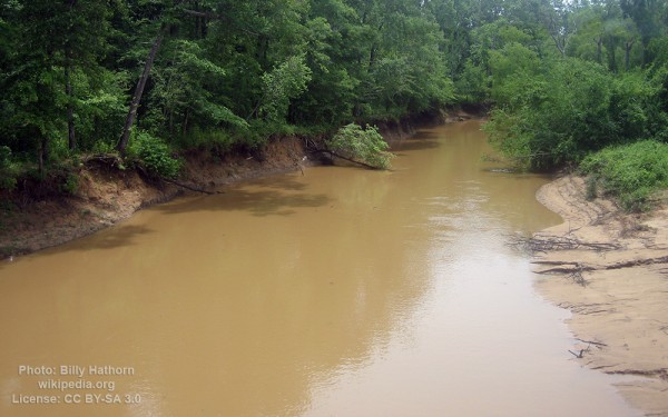
Towns and cities located along the river including Tyler, Lufkin, and Silsbee, although significant portions of the Neches River are undeveloped and flow through protected natural lands.
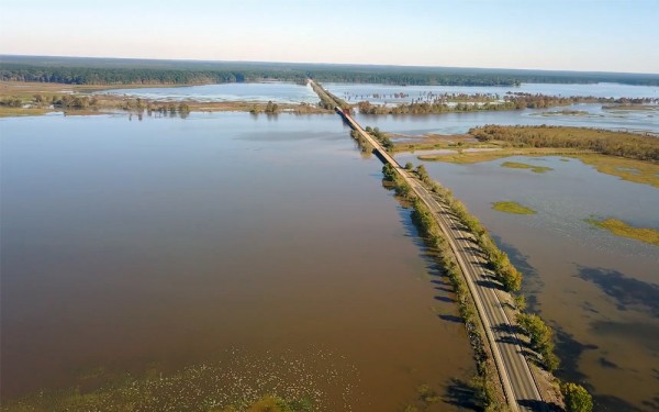
In contrast, the lower 40 miles of the river are a major shipping channel, highly industrialized, with a number of cities and towns concentrated in the area including Beaumont, Vidor, Port Neches, Nederland, Groves, and Port Arthur.
Neches River Largemouth Bass are more active than their lake brethren; therefore, river bass are smaller but many people find that, pound for pound, they are more fun to catch. The Sunfishes include Bluegill, Redear, Warmouth, Crappie. The prehistoric Alligator Gar is a common fish sighted on the Neches River.