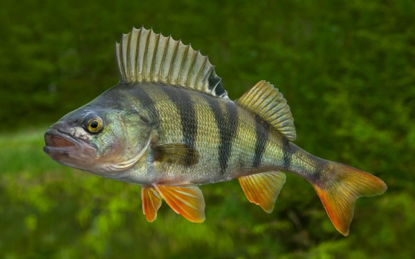
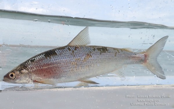
Perciformes - Perches

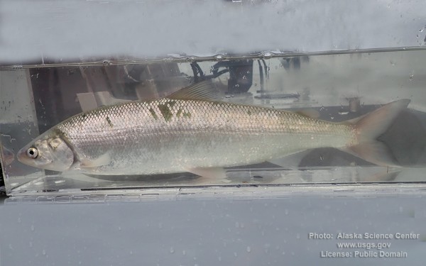
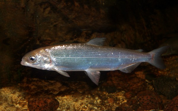
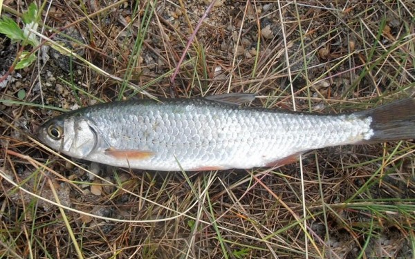
Salmoniformes - Salmons and Trouts
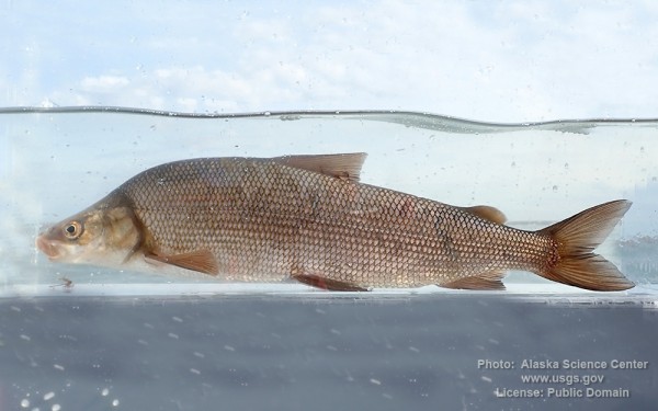
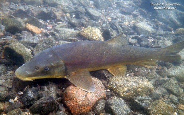
Cypriniformes - Carps
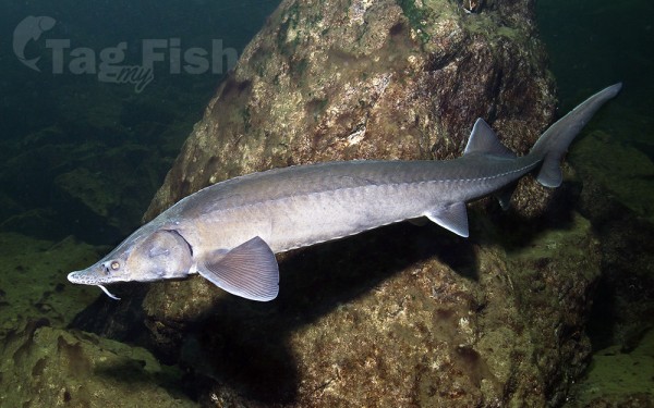
Acipenseriformes - Sturgeons and Paddlefish
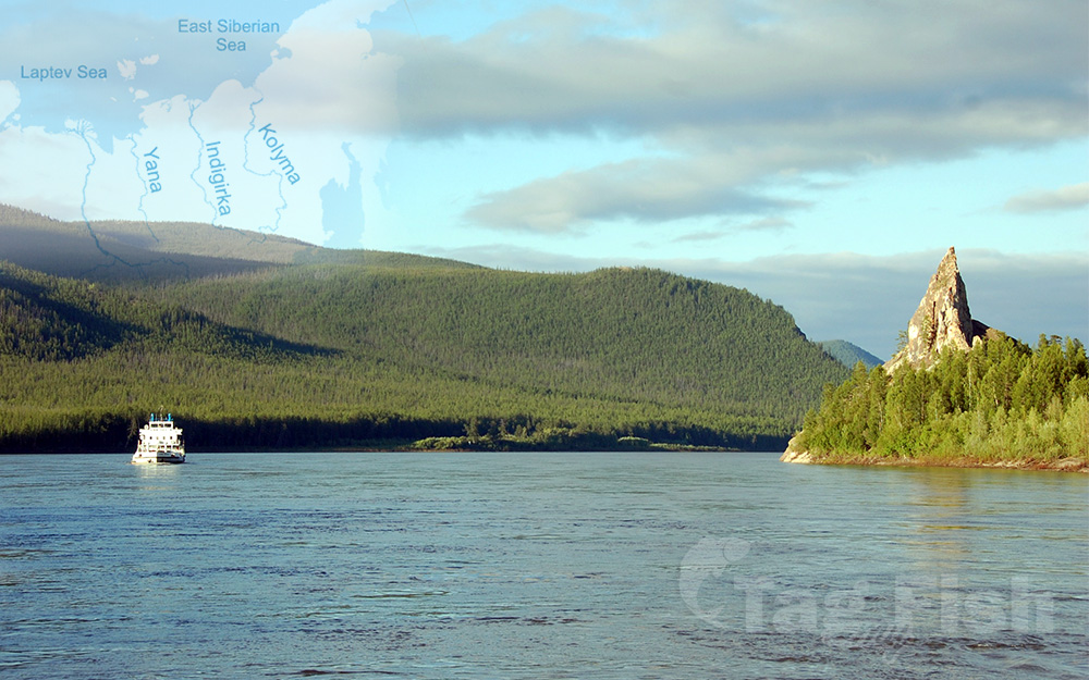
The Kolyma is a river in northeastern Siberia, whose basin covers parts of the Sakha Republic, Chukotka Autonomous Okrug, and Magadan Oblast of Russia.
The Kolyma is frozen to depths of several meters for about 250 days each year, becoming free of ice only in early June, until October.
The Kolyma begins at the confluence of the Kulu and the Ayan-Yuryakh, originating in the Khalkan Range. Leaving the mountainous areas it flows roughly northwards across the Kolyma Lowland, a vast plain dotted with thousands of lakes, part of the greater East Siberian Lowland. The river empties into the Kolyma Gulf of the East Siberian Sea, a division of the Arctic Ocean.
The Kolyma is 2,129 kilometres (1,323 mi) long. The average discharge at Kolymskoye is 3,254 m3/s (114,900 cu ft/s), with a high of 26,201 m3/s (925,300 cu ft/s) reported in June 1985, and a low of 30.6 m3/s (1,080 cu ft/s) in April 1979.
In the last 75-kilometre (47 mi) stretch, the Kolyma divides into two large branches. There are many islands at the mouth of the Kolyma before it meets the East Siberian sea.
The main tributaries of the Kolyma are, from source to mouth:
Ayan-Yuryakh (left)
Kulu (right)
Buyunda (right)
Balygychan (right)
Sugoy (right)
Korkodon (right)
Popovka (left)
Yasachnaya (left)
Zyryanka (left)
Debin (left)
Taskan (left)
Ozhogina (left)
Sededema (left)
Beryozovka (right)
Omolon (right)
Anyuy (right)