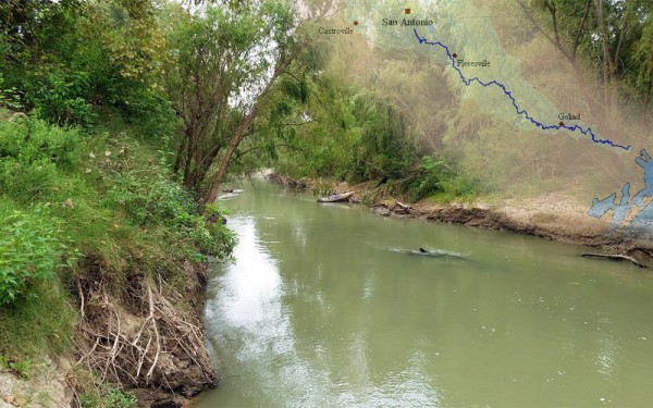
Largest tributaries
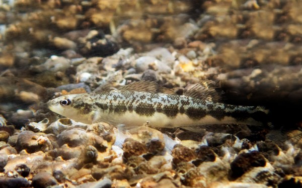
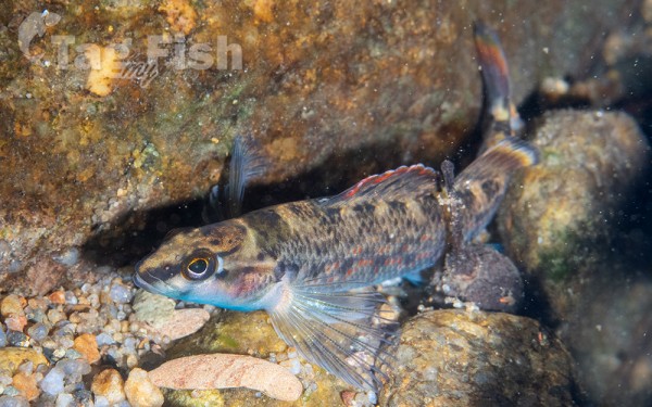
Perciformes - Perches
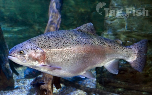
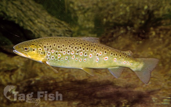
Salmoniformes - Salmons and Trouts
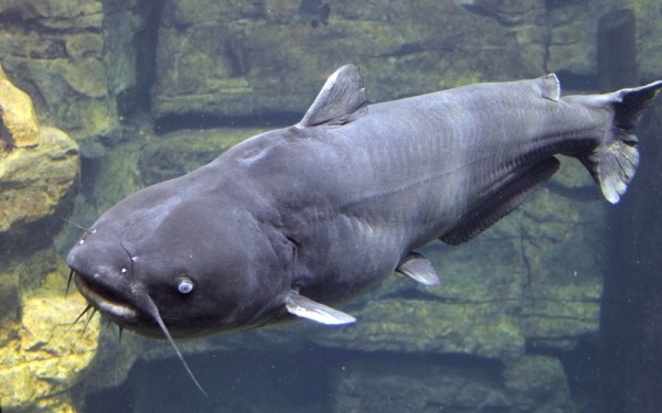
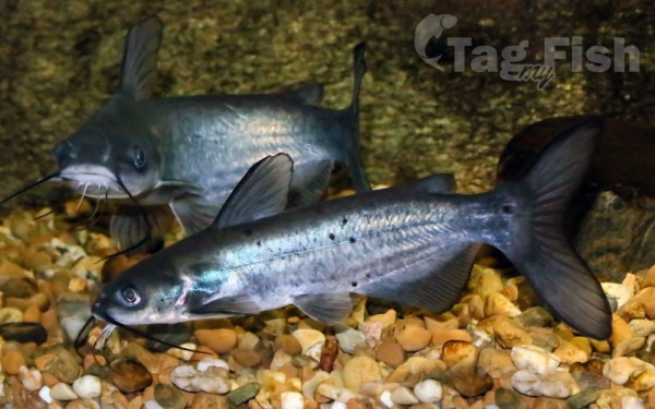
Siluriformes - Catfishes
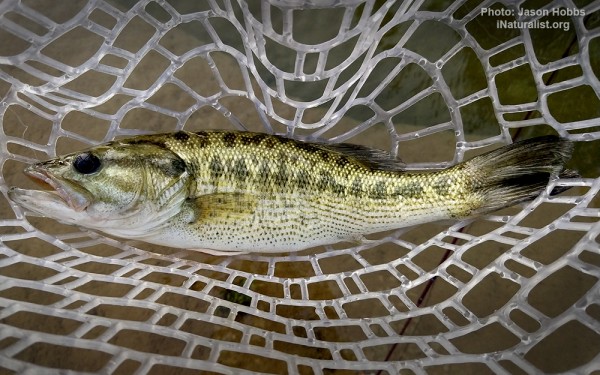
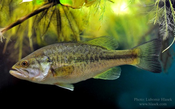
Centrarchiformes - Basses and sunfishes
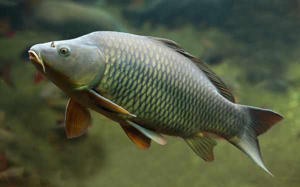
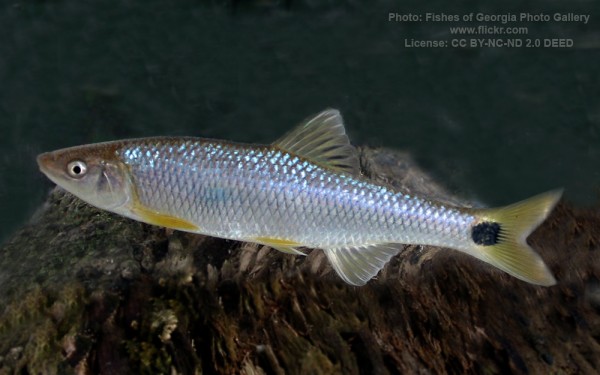
Cypriniformes - Carps
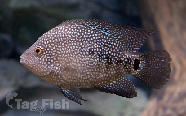
Cichliformes - Cichlids
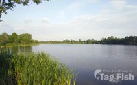
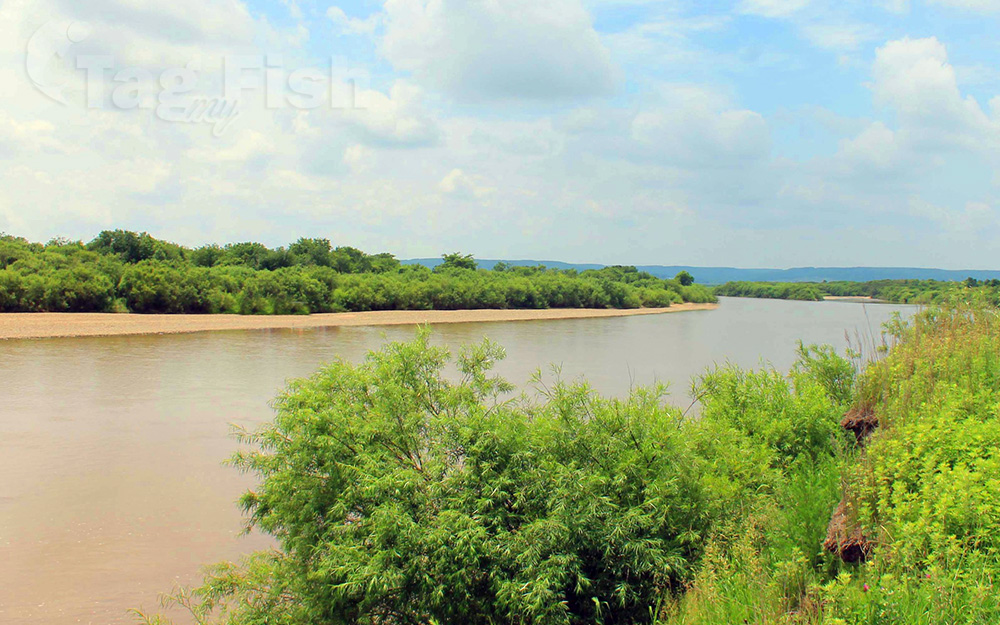
The Guadalupe River runs from Kerr County, Texas, to San Antonio Bay on the Gulf of Mexico, with an average temperature of 17.75 degrees Celsius (63.95 degrees Fahrenheit).
It is a popular destination for rafting, fishing, and canoeing.
Larger cities along it include Kerrville, New Braunfels, Seguin, Gonzales, Cuero, and Victoria.
It has several dams along its length, the most notable of which, Canyon Dam, forms Canyon Lake northwest of New Braunfels.
The San Antonio River flows into it just north of Tivoli. Ahead of the entry into the San Antonio Bay estuary, it forms a delta and splits into two distributaries referred respectively as the North and South parts. Each distributary flows into the San Antonio Bay estuary at Guadalupe Bay.