Largest tributaries


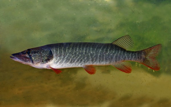
Esociformes - Pikes
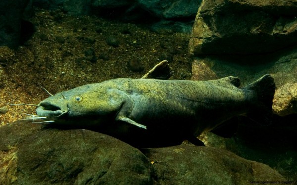
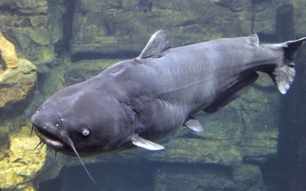
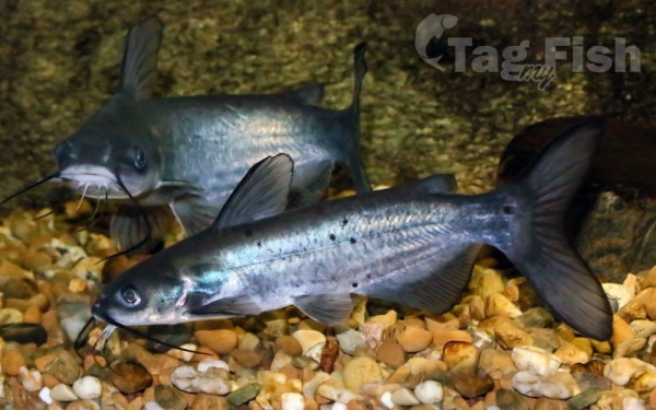
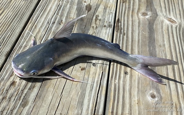
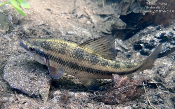
Siluriformes - Catfishes

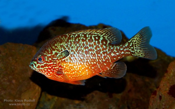
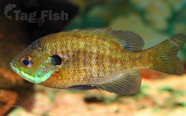
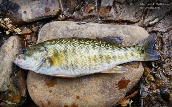
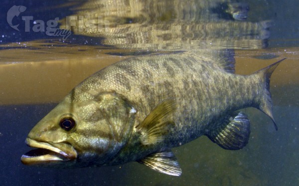
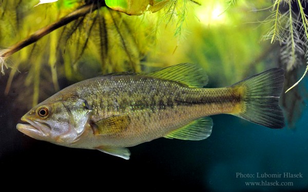
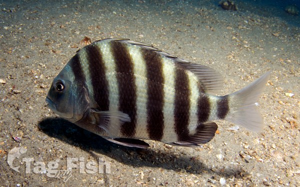
Centrarchiformes - Basses and sunfishes
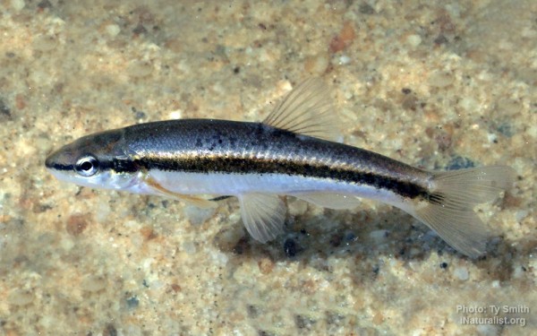
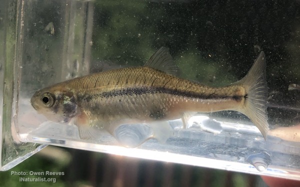
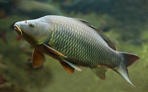
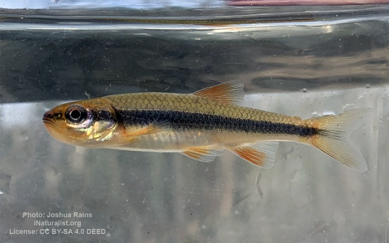
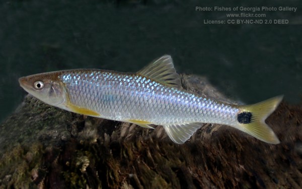
Cypriniformes - Carps
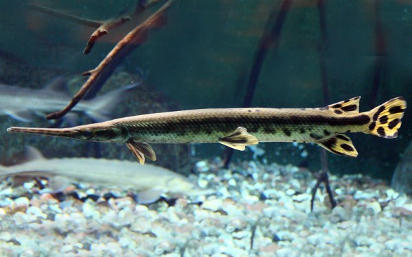
Lepisosteiformes - Gars
Spariformes - Breams and porgies
Acanthuriformes - Surgeonfishes
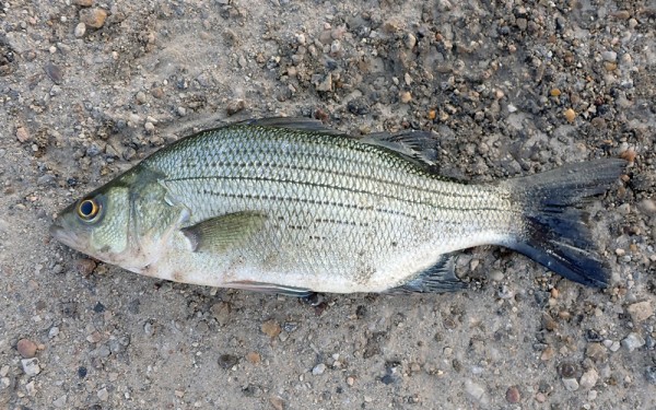
Moroniformes - Temperate basses
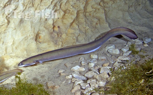
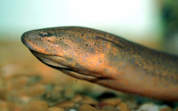
Anguilliformes - Eels and morays
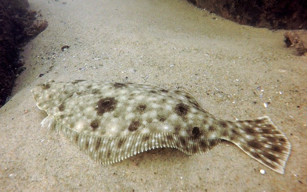
Pleuronectiformes - Flatfishes
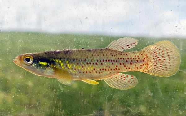
Cyprinodontiformes - Toothcarps
Synbranchiformes - Swamp eels
The Apalachicola is a river, approximately 160 mi (180 km) long in the state of Florida. The large watershed, known as the ACF River Basin, drains an area of approximately 19,500 square miles (50,500 km2) into the Gulf of Mexico. The distance to its farthest head waters in northeast Georgia is approximately 500 miles (800 km). Its name comes from the Apalachicola people, who used to live along the river.
The river is formed on the state line between Florida and Georgia, near the town of Chattahoochee, Florida, approximately 60 miles (97 km) northeast of Panama City, by the confluence of the Flint and Chattahoochee rivers. The actual confluence is contained within the Lake Seminole reservoir formed by the Jim Woodruff Dam. It flows generally south through the forests of the Florida Panhandle, past Bristol. In northern Gulf County, it receives the Chipola River from the west. It flows into Apalachicola Bay, an inlet of the Gulf of Mexico, at Apalachicola, Florida. The lower 30 mi (48 km) of the river is surrounded by extensive swamps and wetlands, except at the coast.