
Largest tributaries


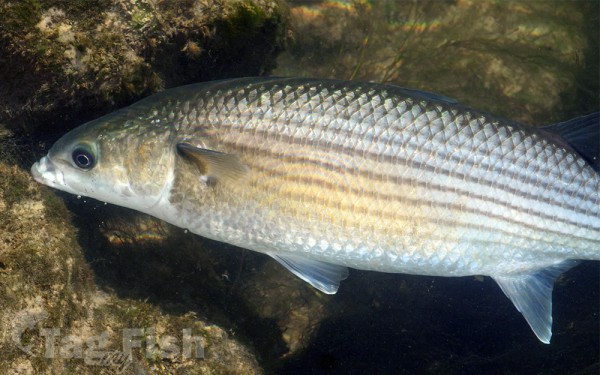
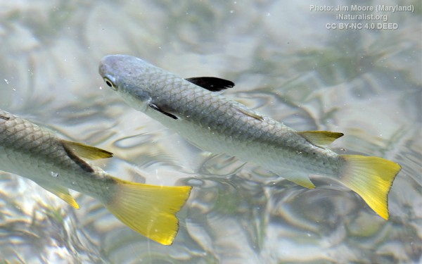
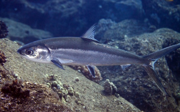
Mugiliformes - Mullets
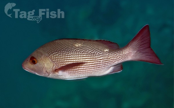
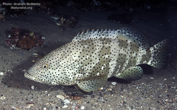
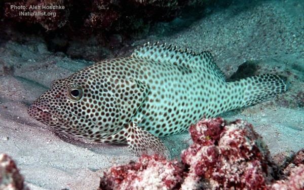
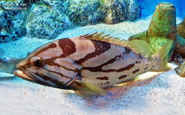
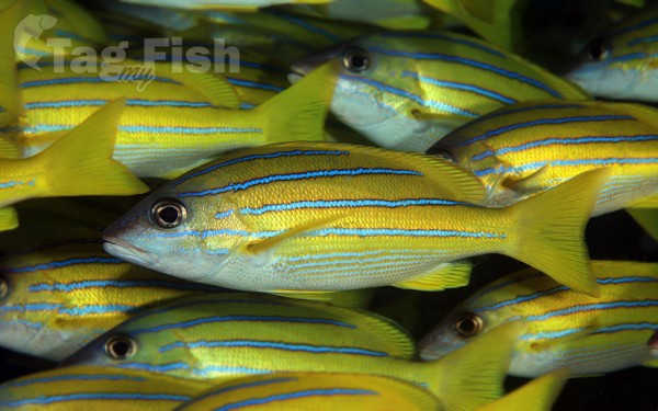
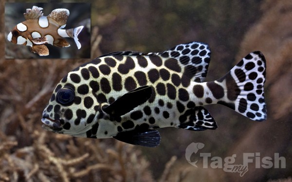
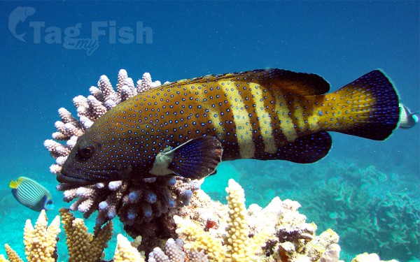
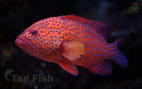
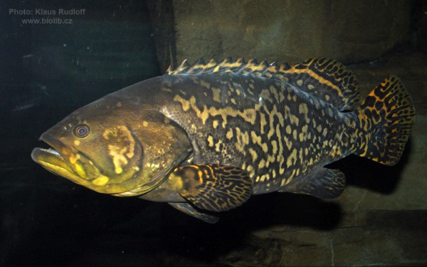
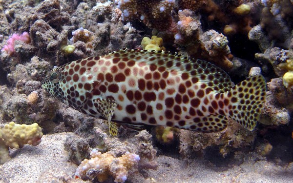
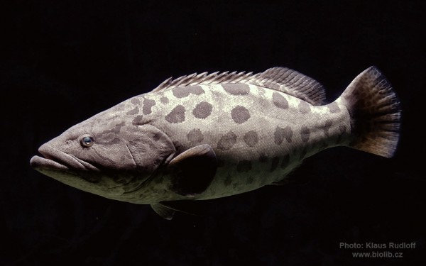
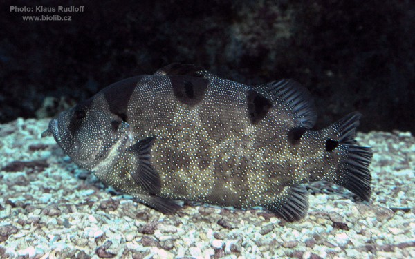
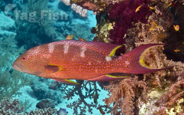
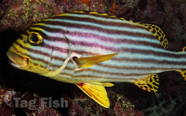
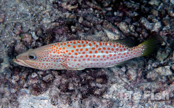
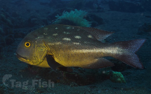
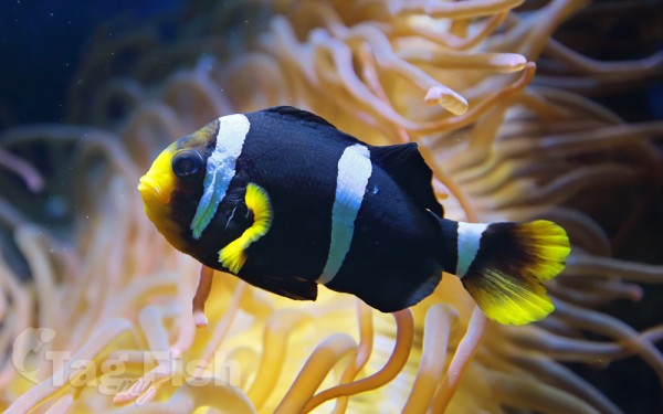
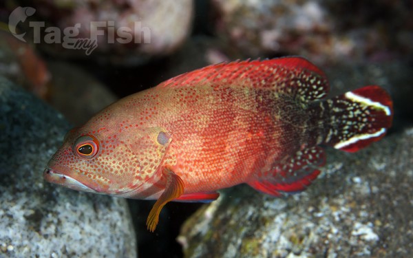
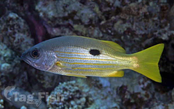
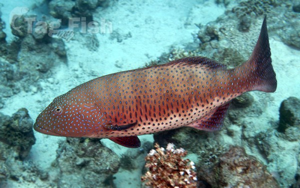
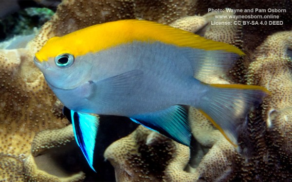
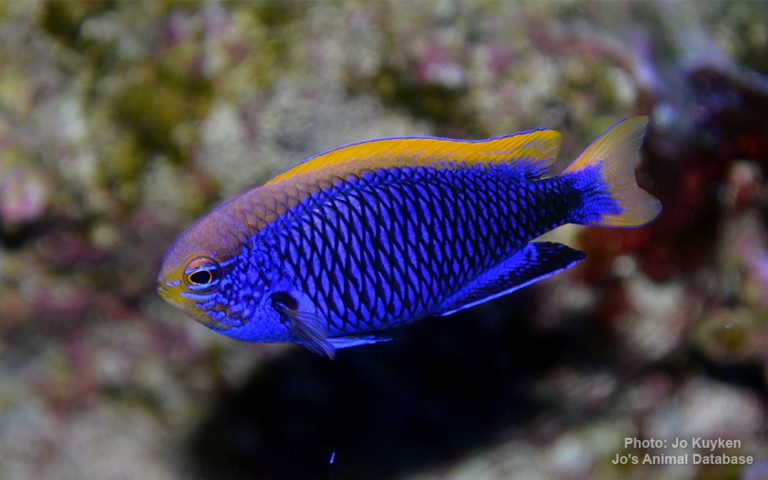
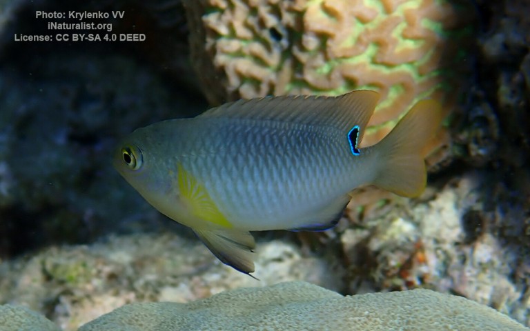
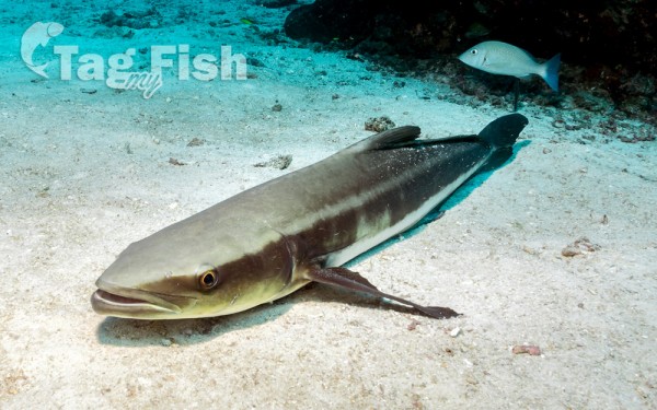
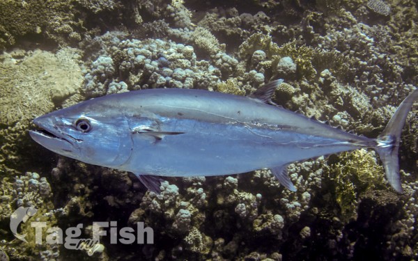
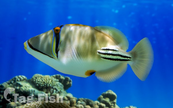
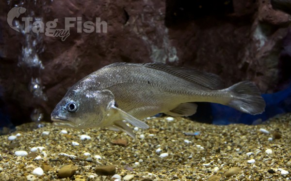
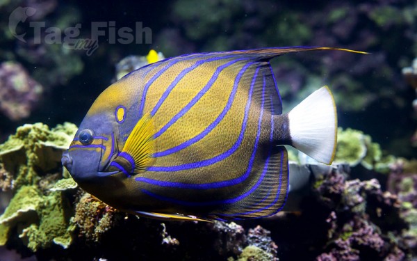
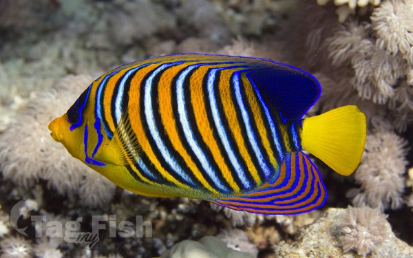
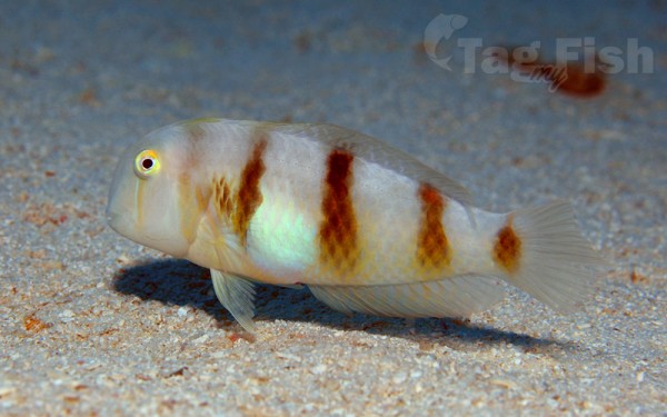
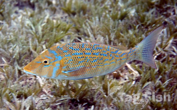
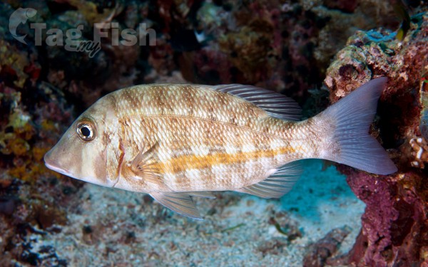
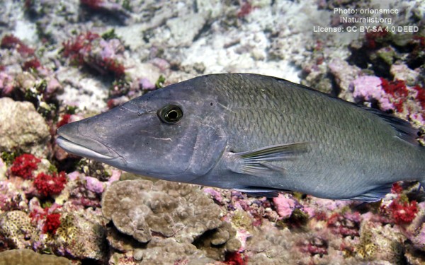
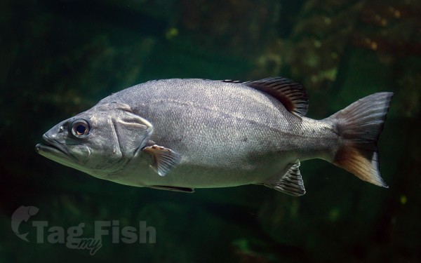
Perciformes - Perches


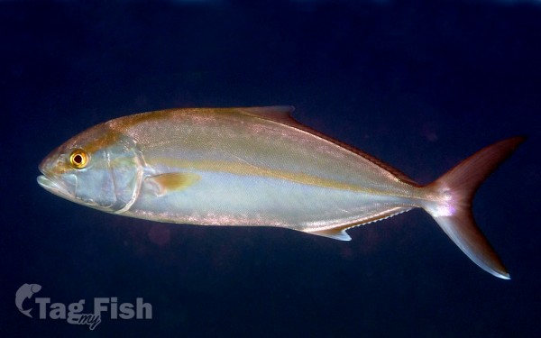
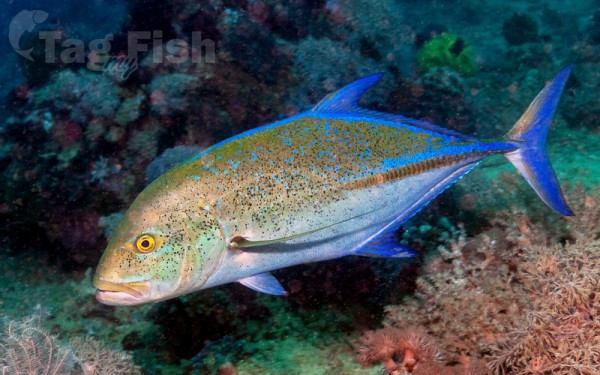
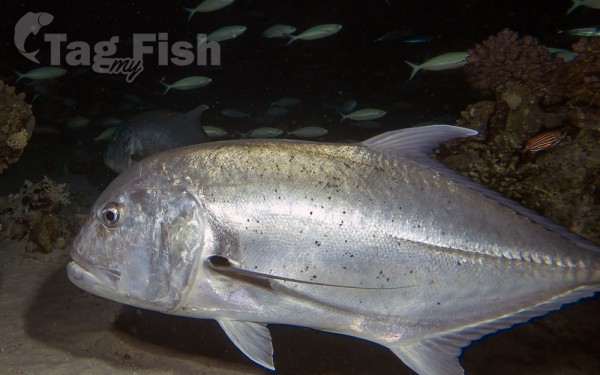
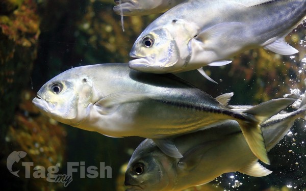
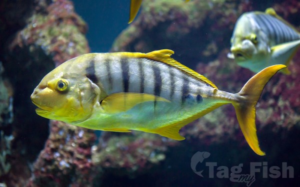
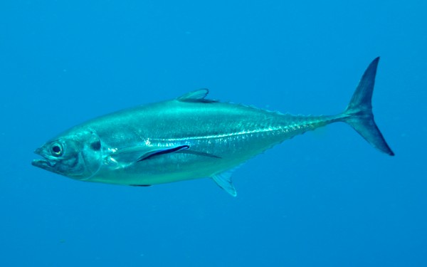
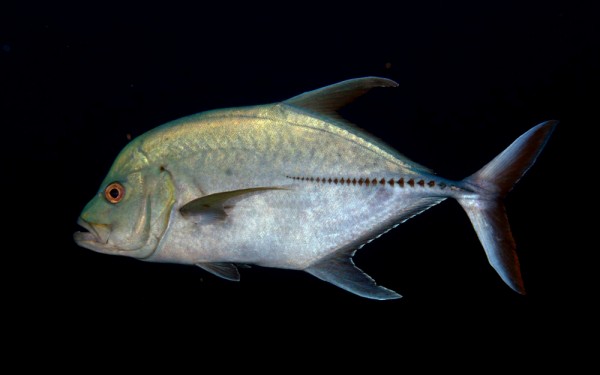
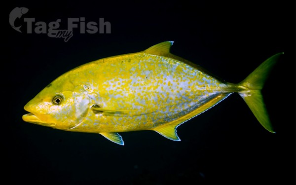
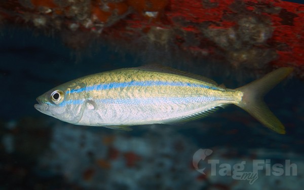
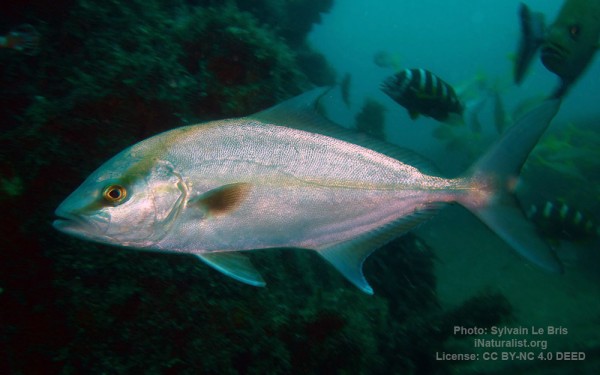
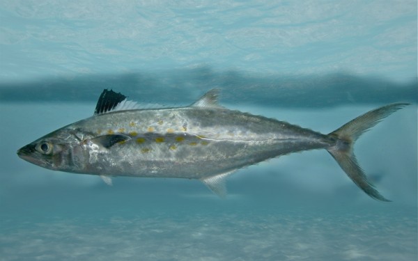
Carangiformes - Jacks
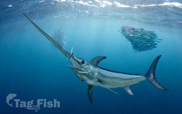
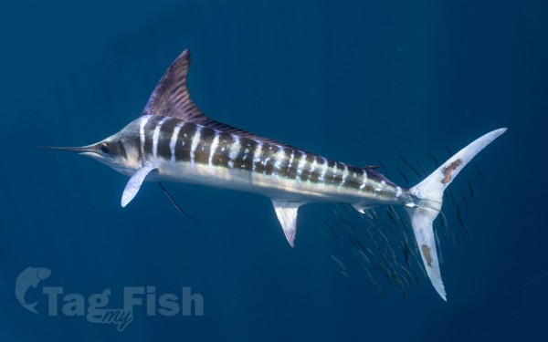
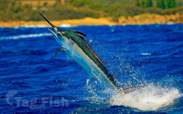
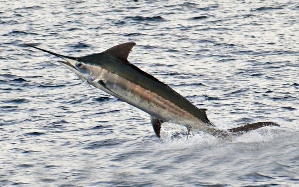
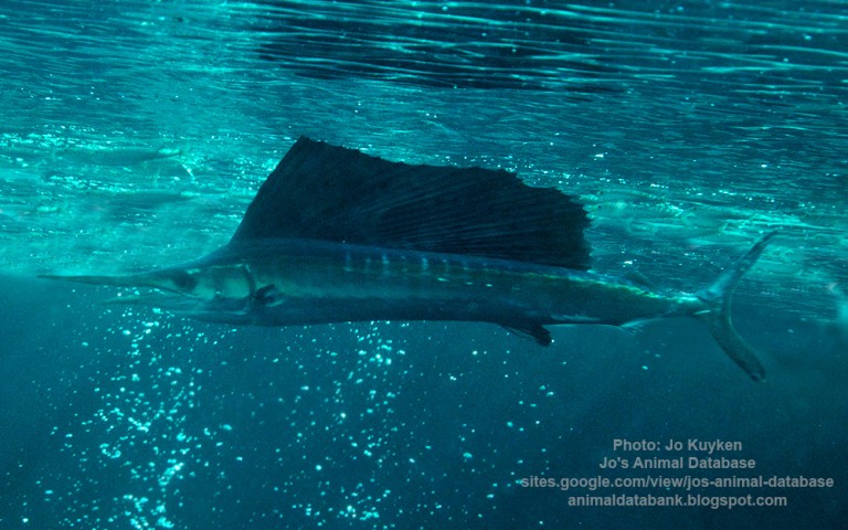
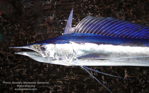
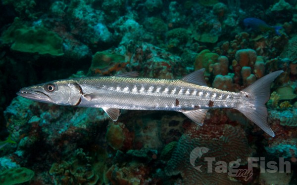
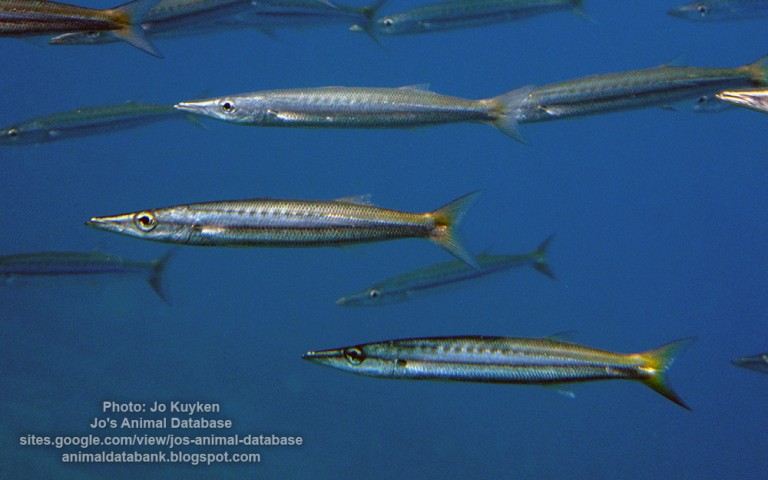
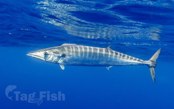
Istiophoriformes - Barracudas
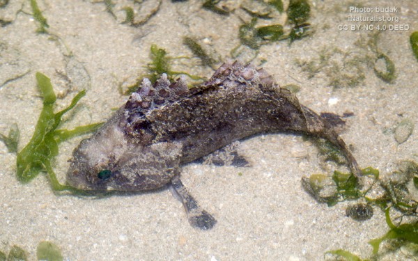
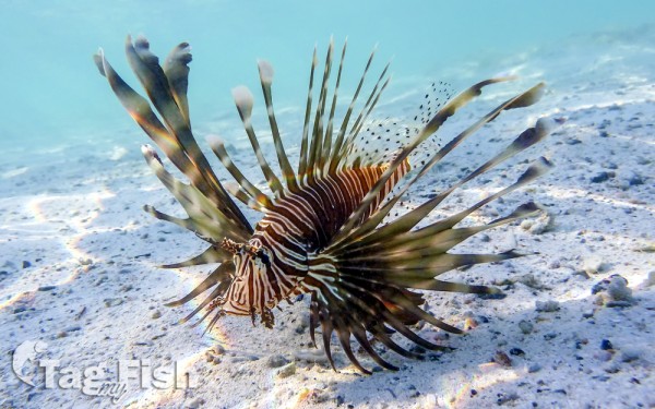
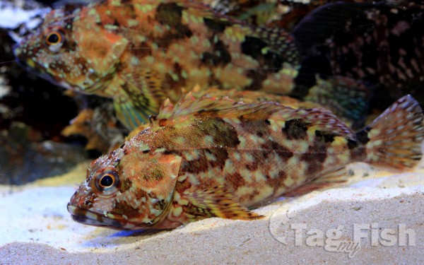
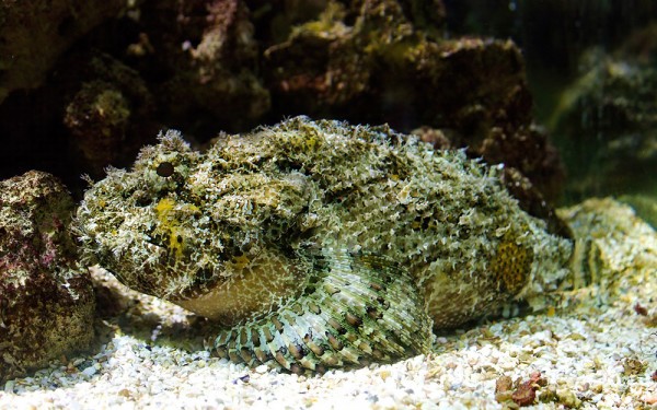
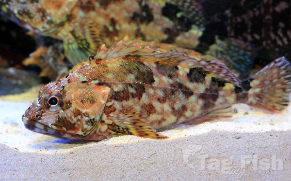
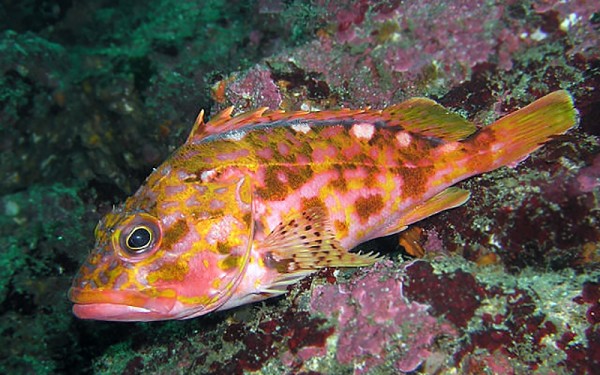
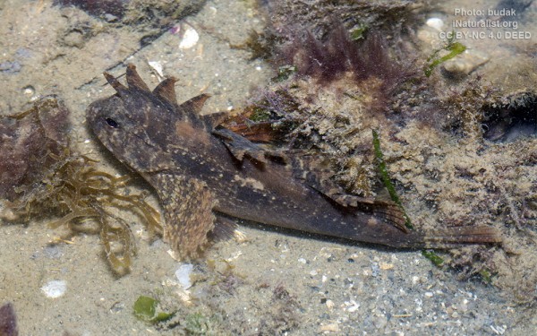
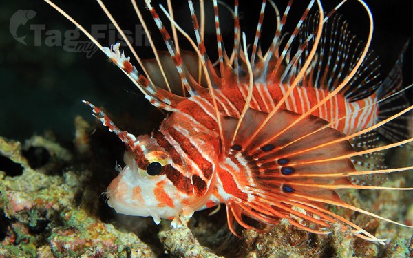
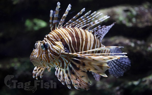
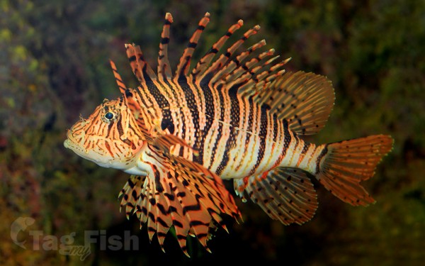
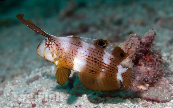
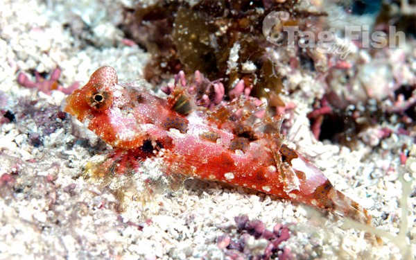
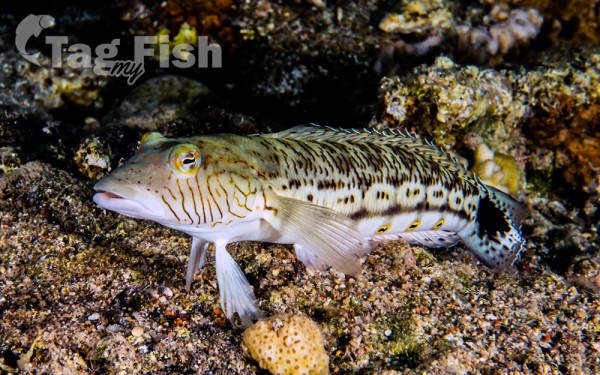
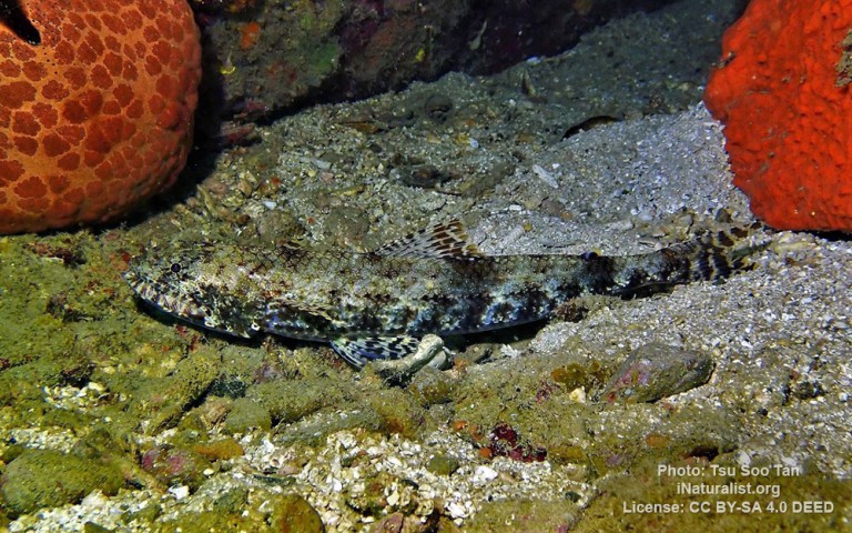
Scorpaeniformes - Mail-cheeked fishes
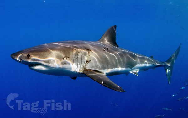
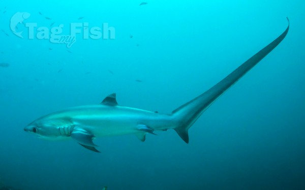
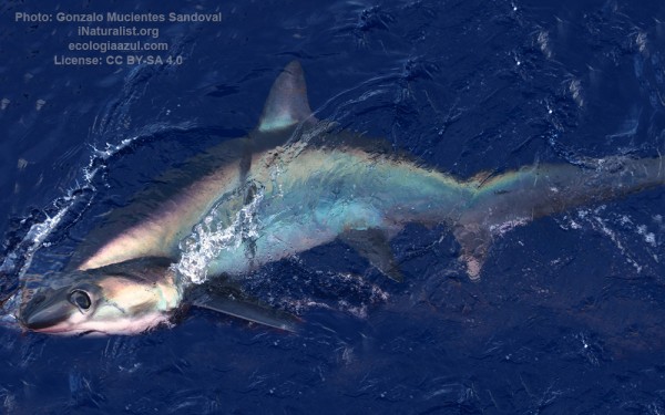
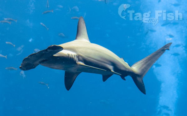
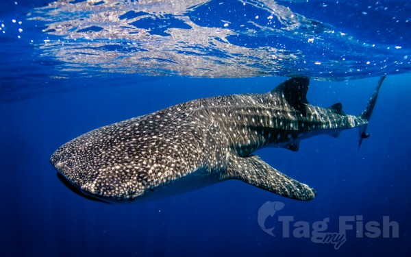
Lamniformes - Mackerel sharks
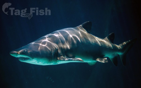
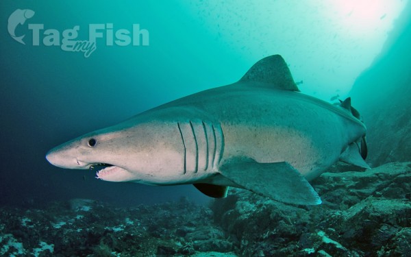
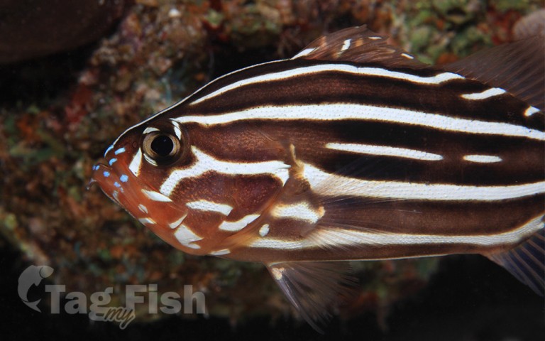
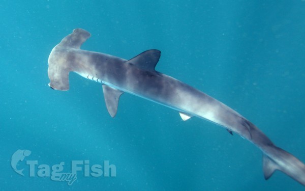
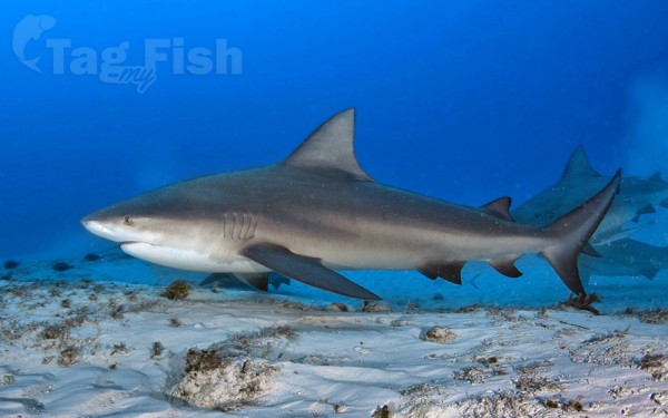
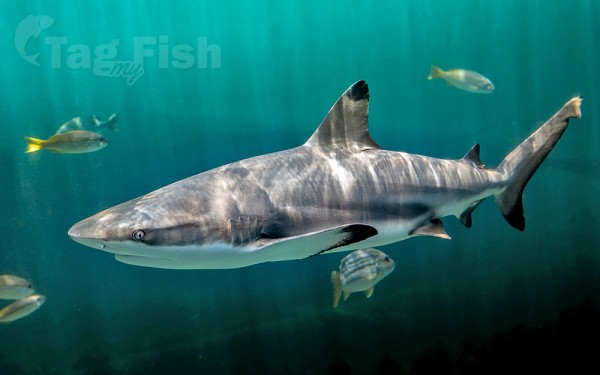
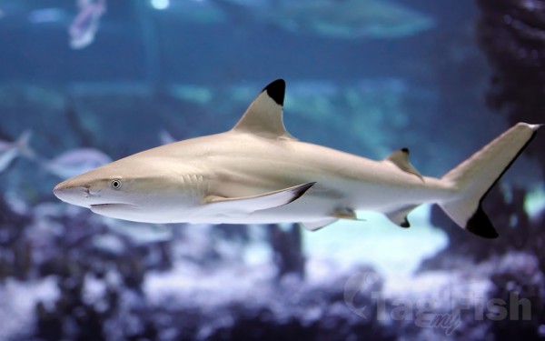
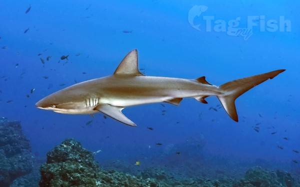
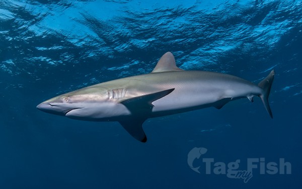
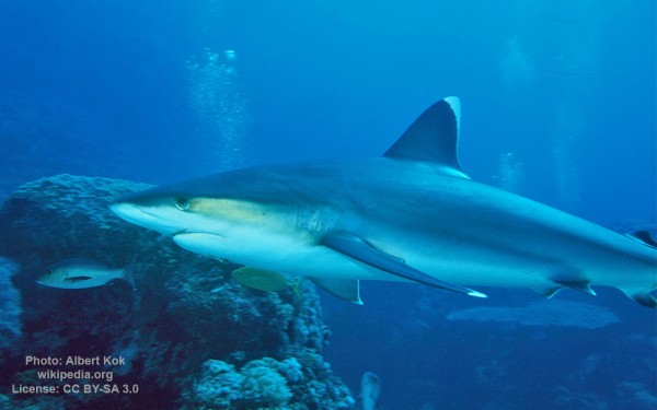
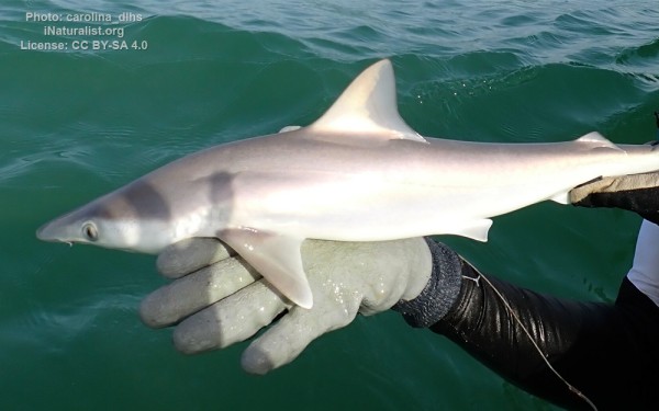
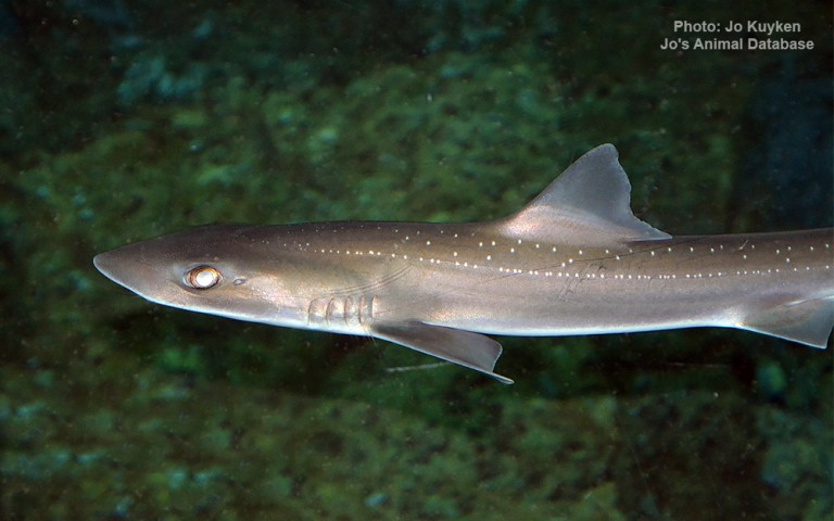
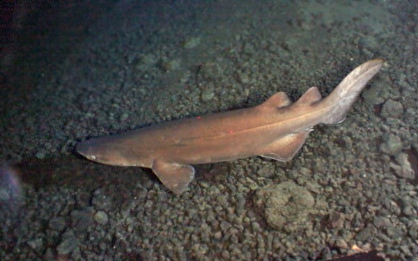
Carcharhiniformes - Ground sharks
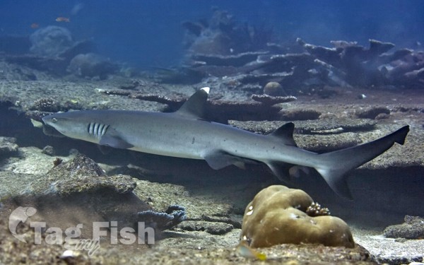
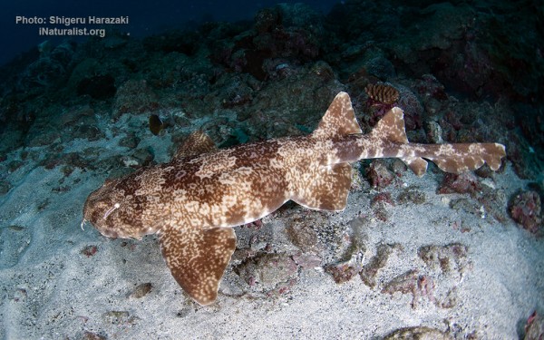
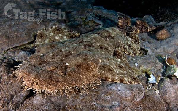
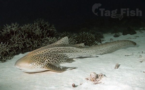
Orectolobiformes - Carpet shark
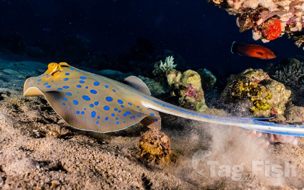
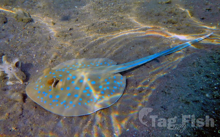
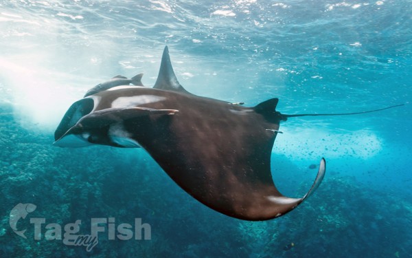
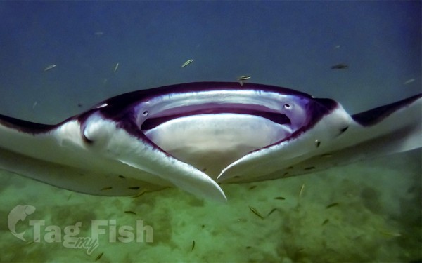
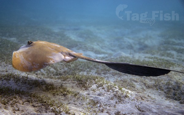
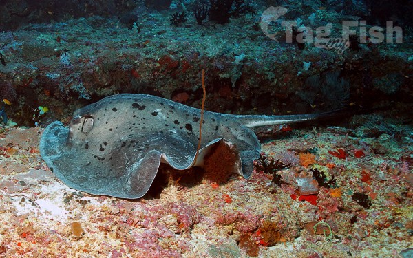
Myliobatiformes - Stingrays
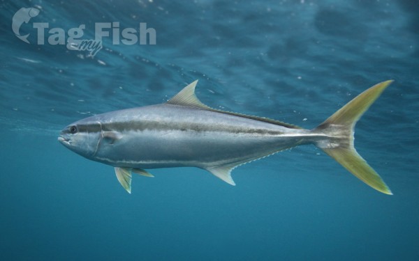
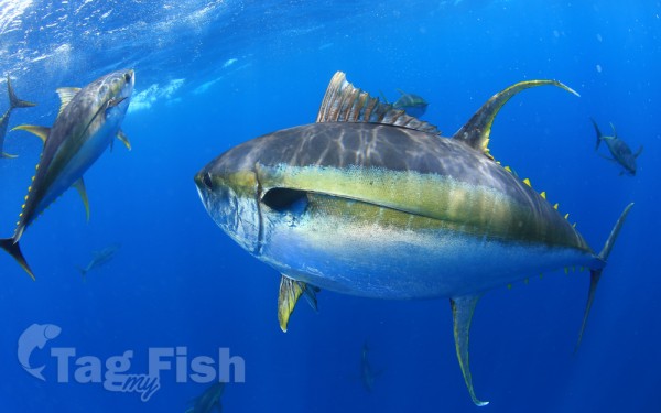
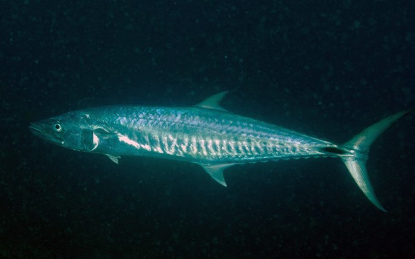
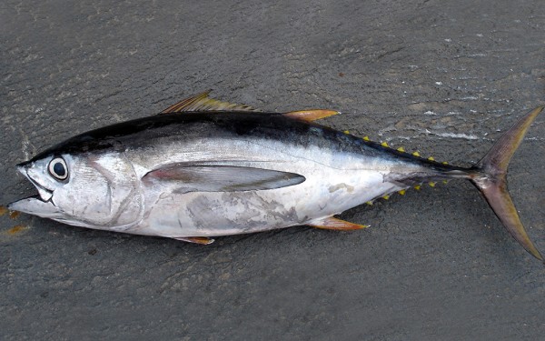
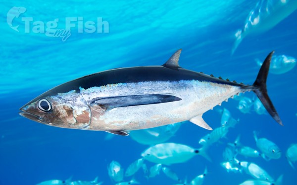
Scombriformes - Mackerels
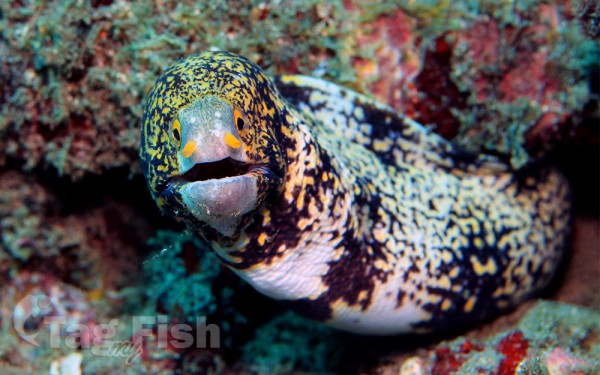
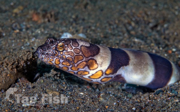
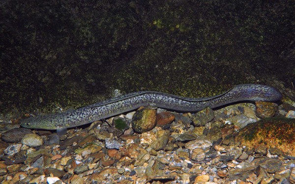
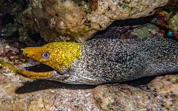
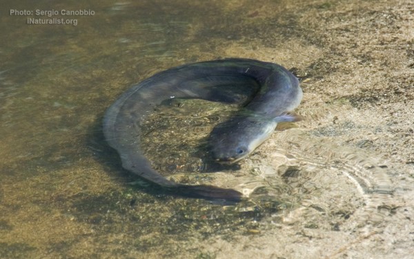
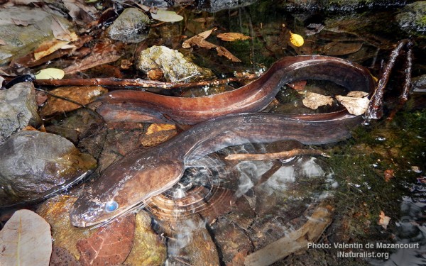
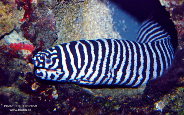
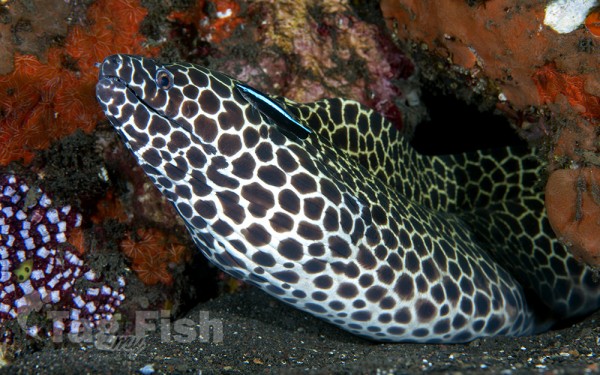
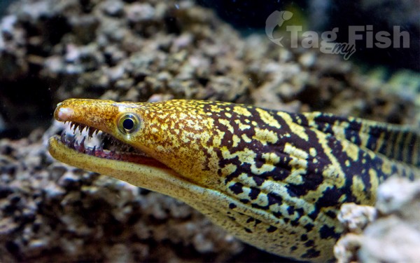
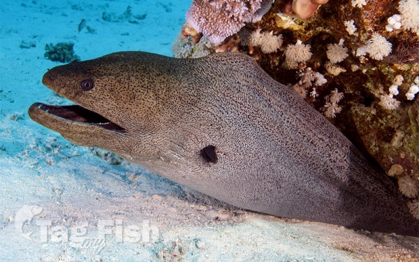
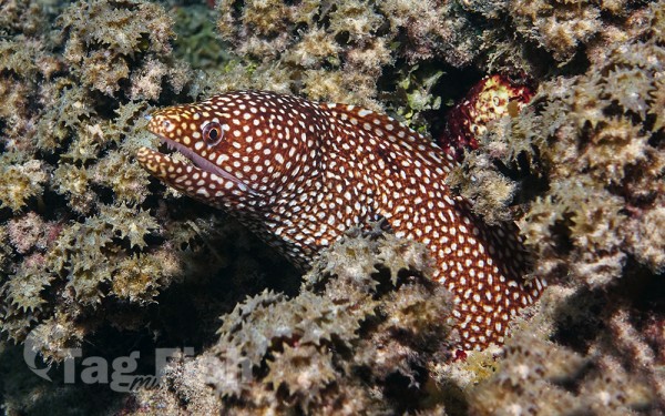
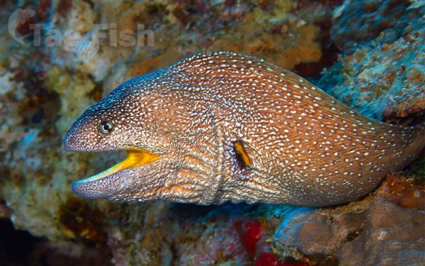
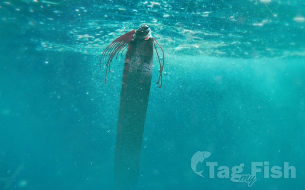
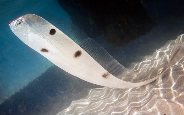
Anguilliformes - Eels and morays
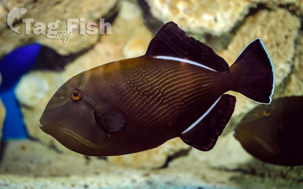
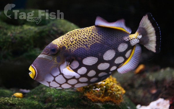
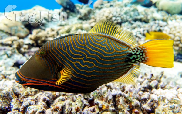
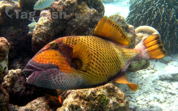
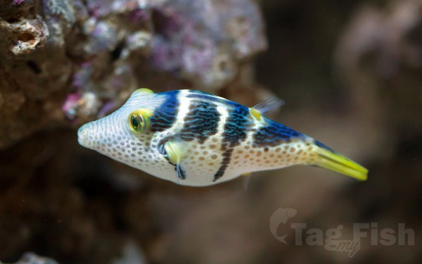
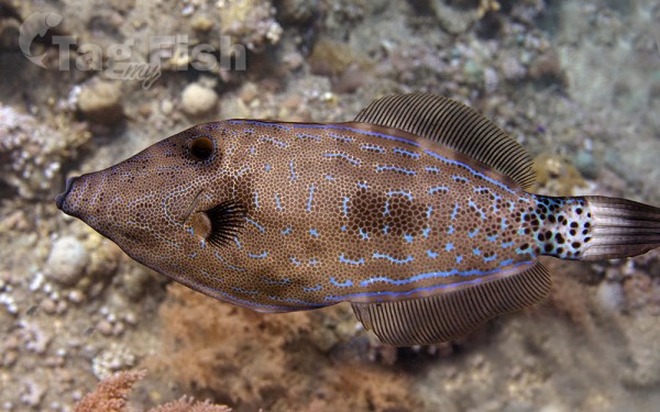
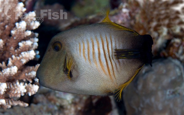
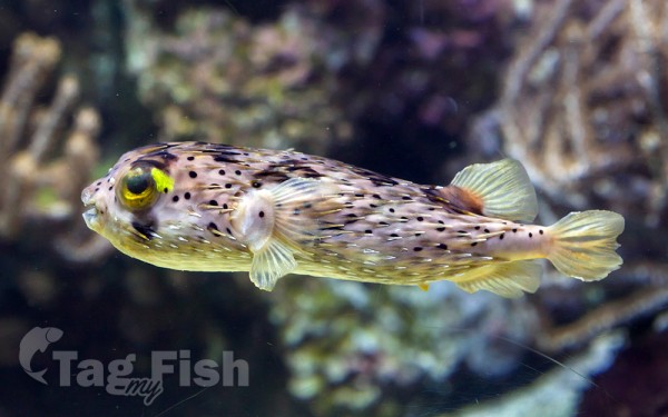
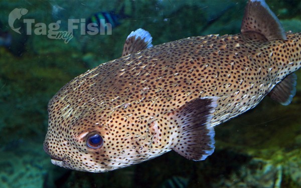
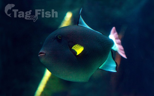
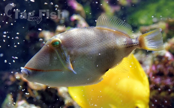
Tetraodontiformes - Puffers and filefishes
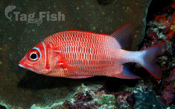
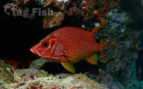
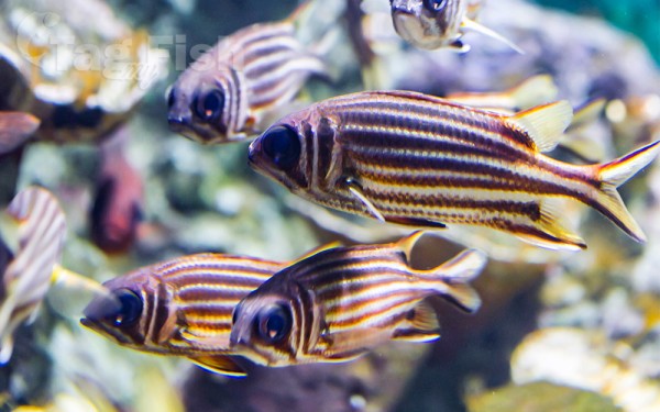
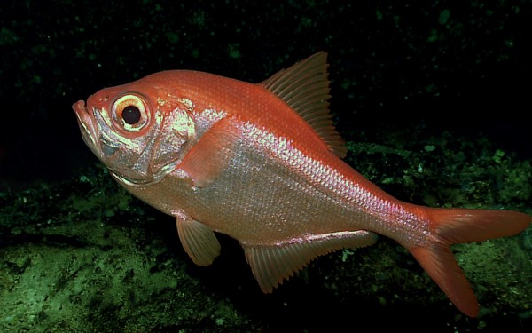
Holocentriformes - Squirrelfishes
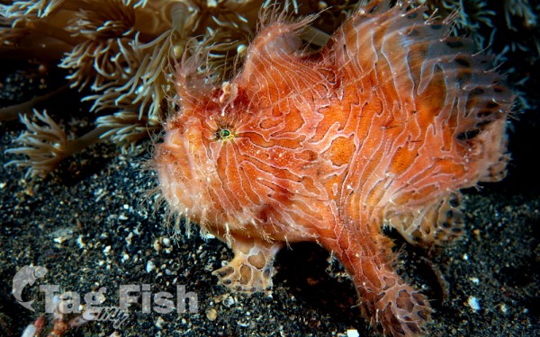
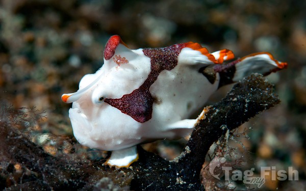
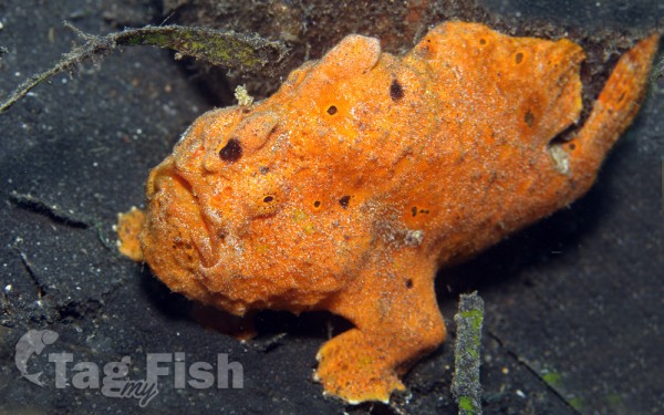
Lophiiformes - Anglerfishes
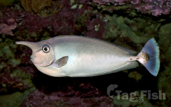
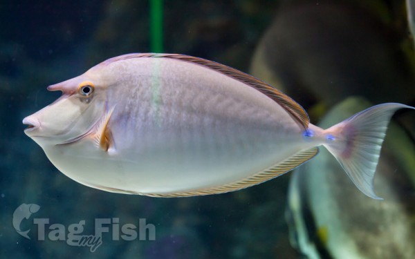
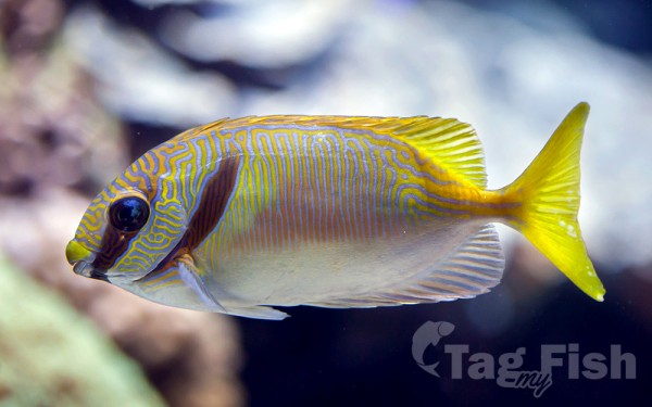
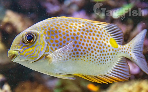
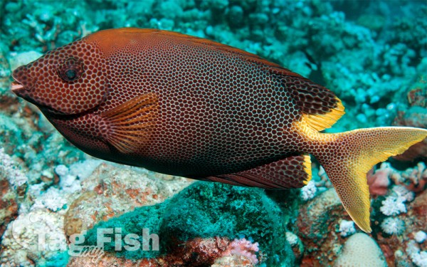
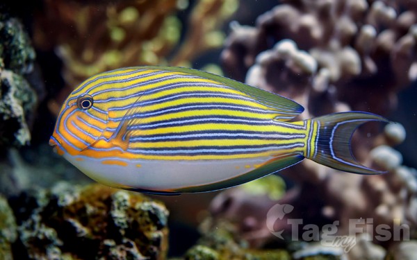
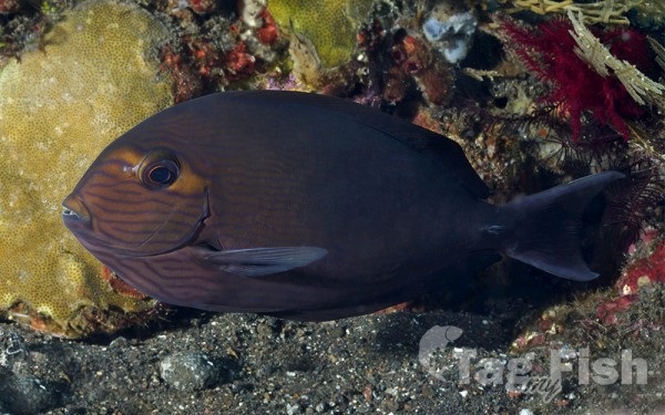
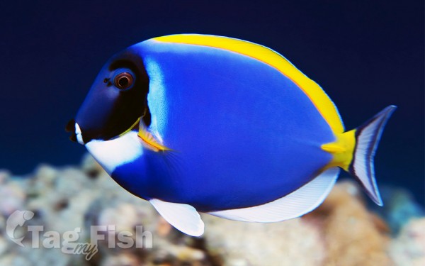
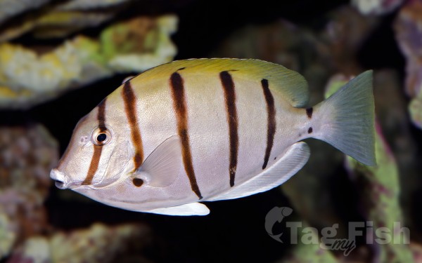
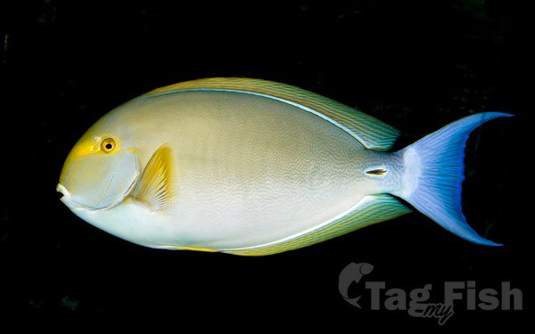
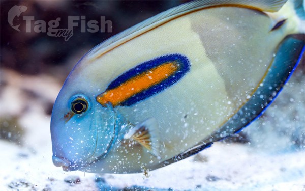
Acanthuriformes - Surgeonfishes


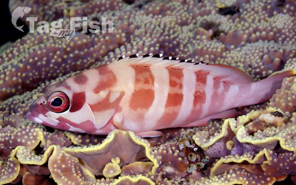
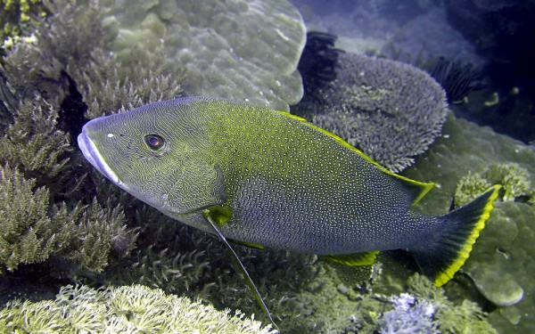
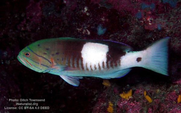
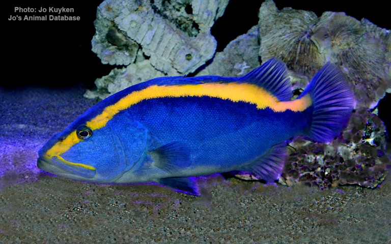
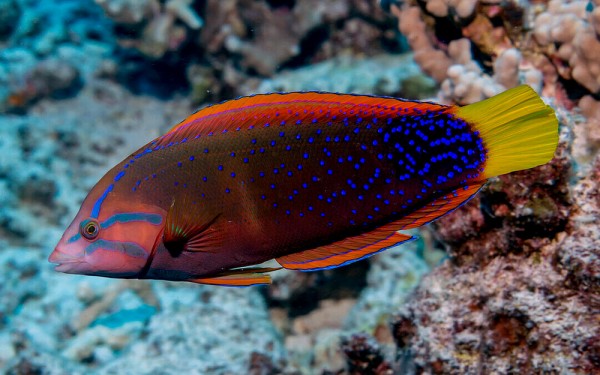
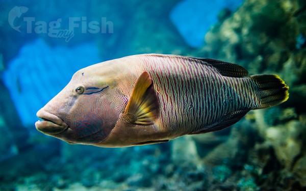
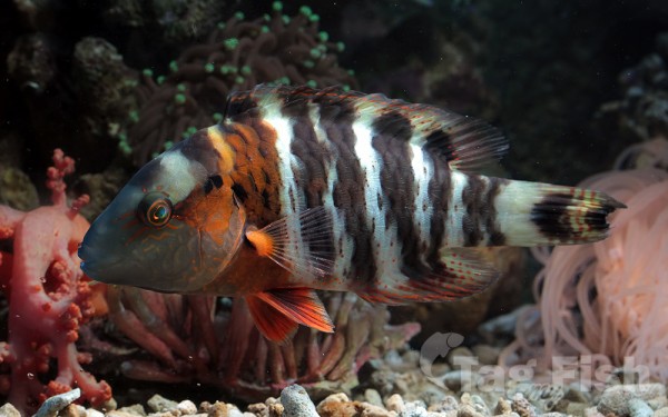
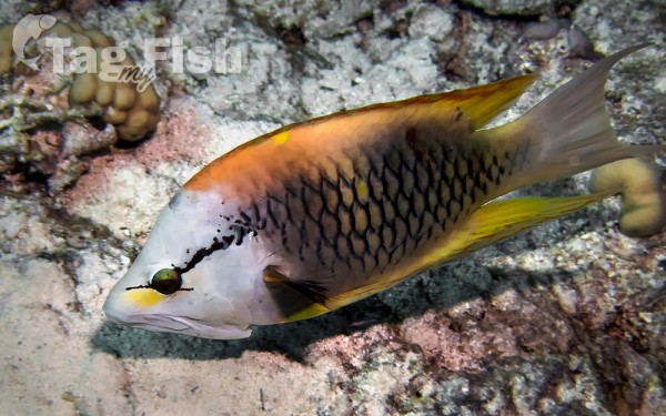
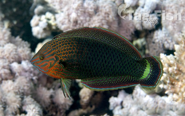
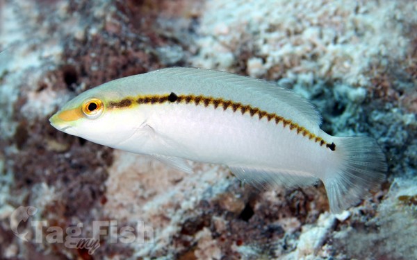
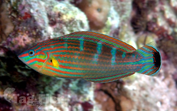
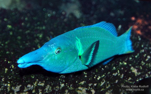
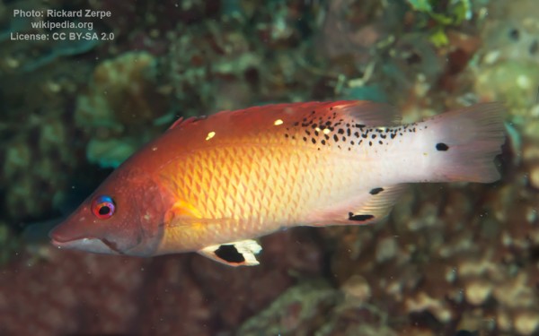
Labriformes - Wrasses
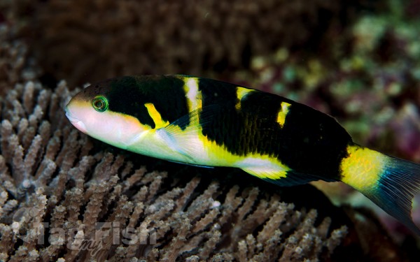


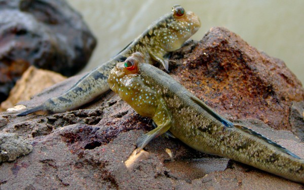
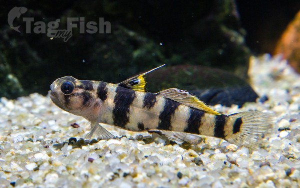
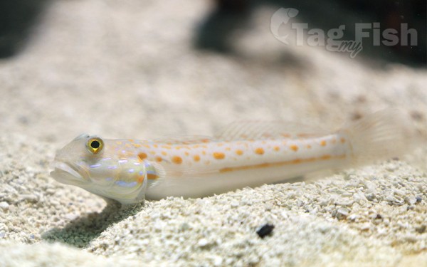
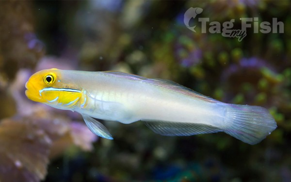
Gobiiformes - Gobies
Lampriformes - Lamprids
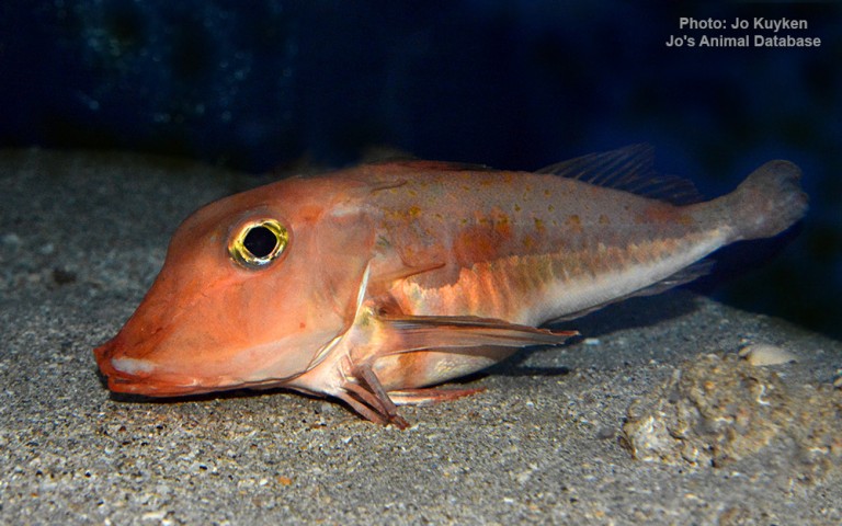
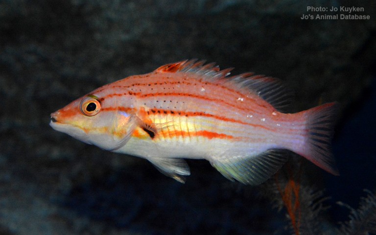
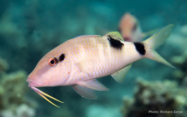
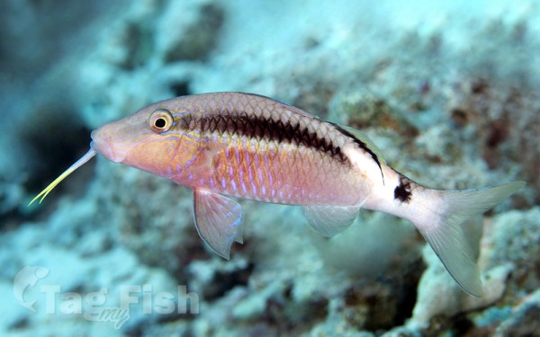
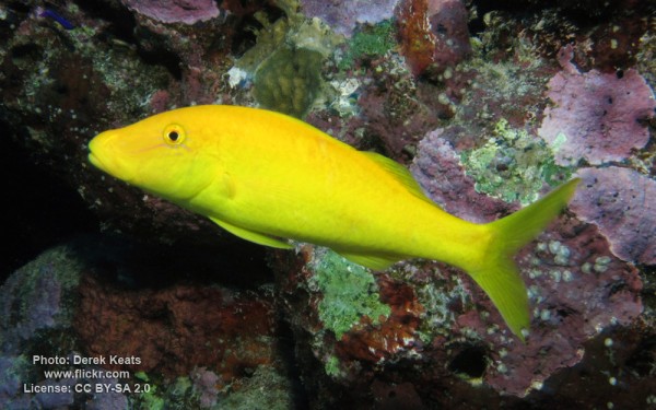
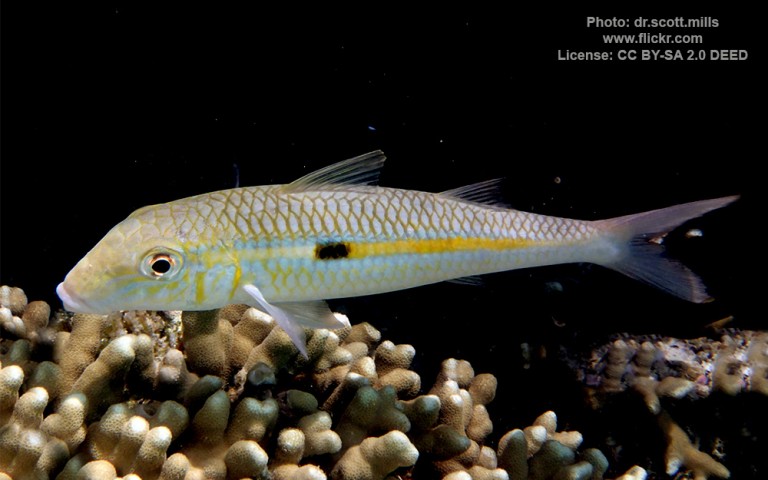
Mulliformes - Goatfishes
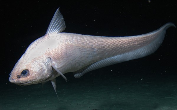
Gadiformes - Cods
Centrarchiformes - Basses and sunfishes
Callionymiformes - Dragonets
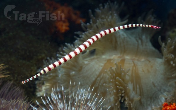
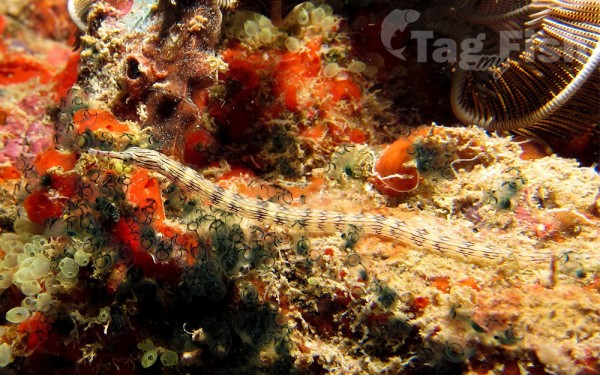
Syngnathiformes - Pipefishes and Seahorses

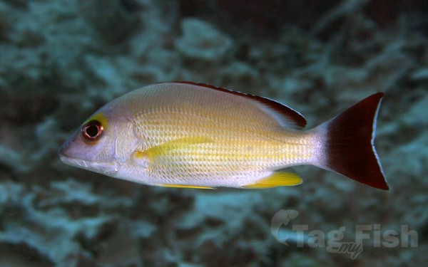
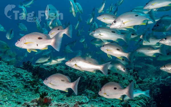
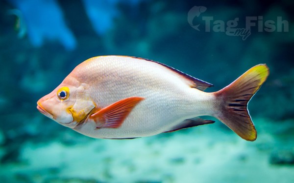
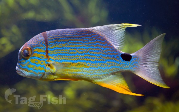
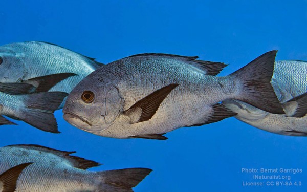
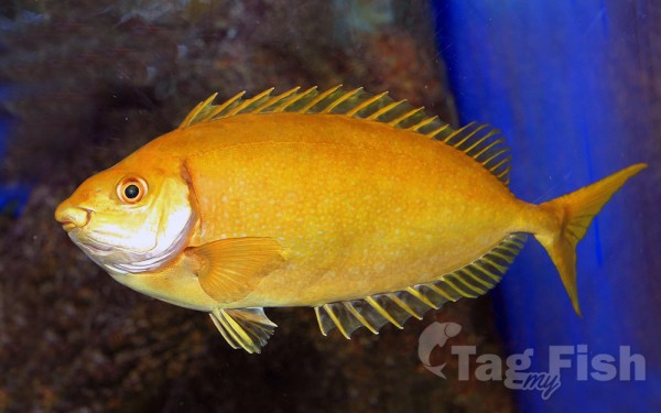
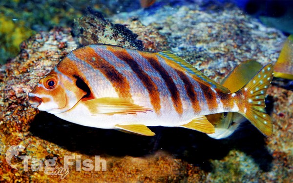
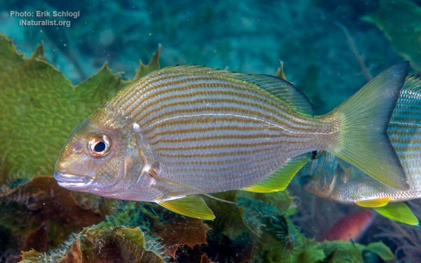
Spariformes - Breams and porgies

Echinorhiniformes - Bramble sharks
Saccopharyngiformes - Swallowers and Gulpers
Gonorynchiformes - Milkfishes
Beryciformes - Sawbellies
Ophidiiformes - Cusk-eels
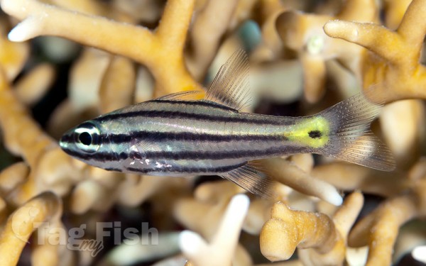
Kurtiformes - Nurseryfishes & Cardinalfishes
Acropomatiformes - Oceanic basses
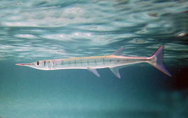
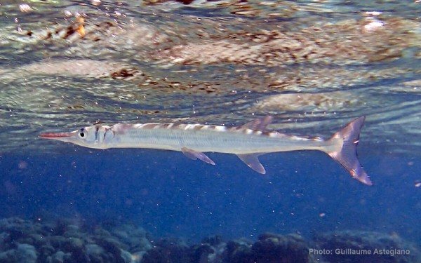
Beloniformes - Needlefishes
Trachiniformes - Weeverfishes
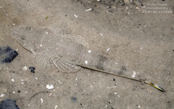
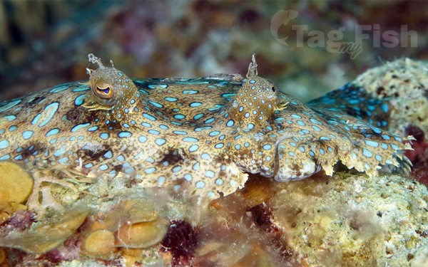
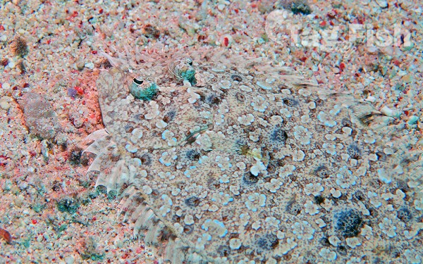
Pleuronectiformes - Flatfishes
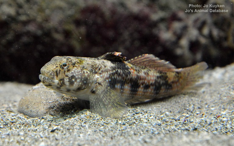
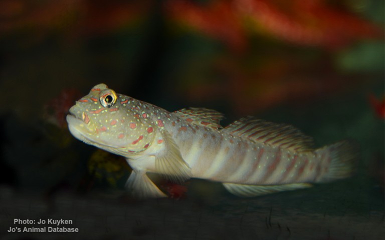
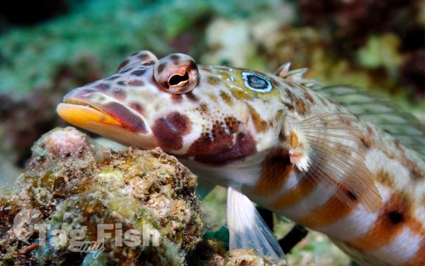
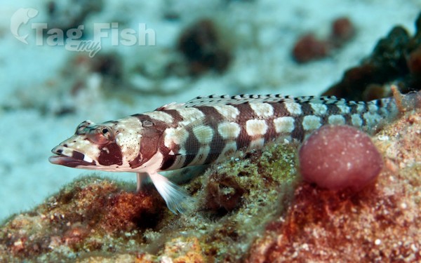
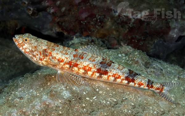
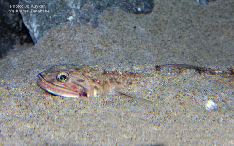
Aulopiformes - Grinners
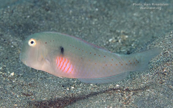
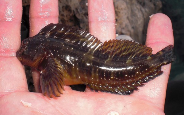
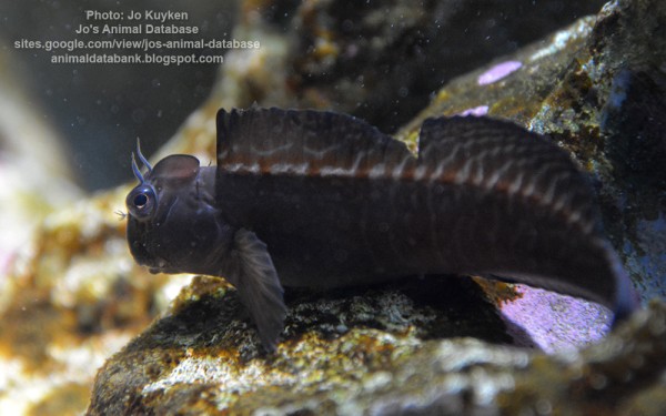
Blenniiformes - Blennies
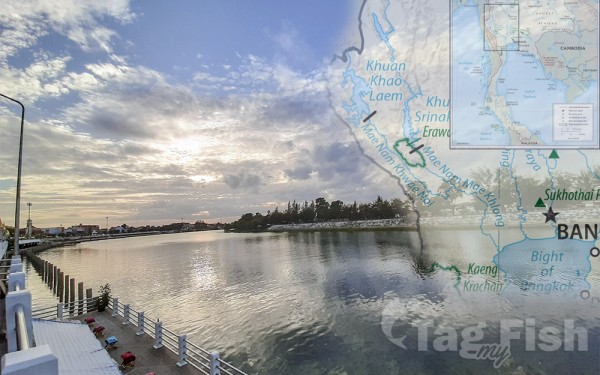
The Gulf of Thailand, also known as the Gulf of Siam, is a shallow inlet in the southwestern South China Sea, bounded between the southwestern shores of the Indochinese Peninsula and the northern half of the Malay Peninsula.
It is around 800 km (500 mi) in length and up to 560 km (350 mi) in width and has a surface area of 320,000 km2 (120,000 sq mi). The gulf is surrounded on the north, west, and southwest by the coastlines of Thailand, on the northeast by Cambodia and the Mekong Delta region of Vietnam, and opens to the South China Sea in the southeast.
The Gulf of Thailand is bordered by Cambodia, Thailand, and Vietnam.
The northern tip of the gulf is the Bay of Bangkok at the mouth of the Chao Phraya River. The southern boundary of the gulf is defined by a line from Cape Bai Bung in southern Vietnam (just south of the mouth of the Mekong River) to the city of Kota Bharu on the Malaysian coast.
The gulf is relatively shallow: its mean depth is 58 metres (190 ft) and the maximum depth is only 85 metres (279 ft). This makes water exchange slow, and the strong water inflow from the rivers reduce the level of salinity in the gulf (3.05–3.25 percent) and enriches the sediments. Only at greater depths does water with a higher salinity (3.4 percent) flow into the gulf from the South China Sea. It fills the central depression below a depth of 50 metres (160 ft).
The main rivers which empty into the gulf are the Chao Phraya, including its distributary Tha Chin River, the Mae Klong, and Bang Pakong rivers at the Bay of Bangkok, and to a lesser degree the Tapi River flowing into Bandon Bay in the southwest of the gulf.
Seabed morphology
The seabed morphology in the central depression of the gulf is characterized by the presence of elongated mounds and ridges arranged parallel to the axis of the basin. This morphology, widespread within the gulf in water depths exceeding 50 m, covers an area of tens of thousands of square kilometers.
It reflects an interaction between sediment dewatering and the erosional activity of the present-day bottom currents. The sediment dewatering and fluid seepage result in the formation of numerous small pits and pockmarks. The long-term erosion imposed by currents of stable orientation modifies pockmarks into long runnels and depressions and ultimately leads to the formation of the large fields of elongated mounds and ridges, as well as the residual outliers of un-eroded mud and clay sheets.


