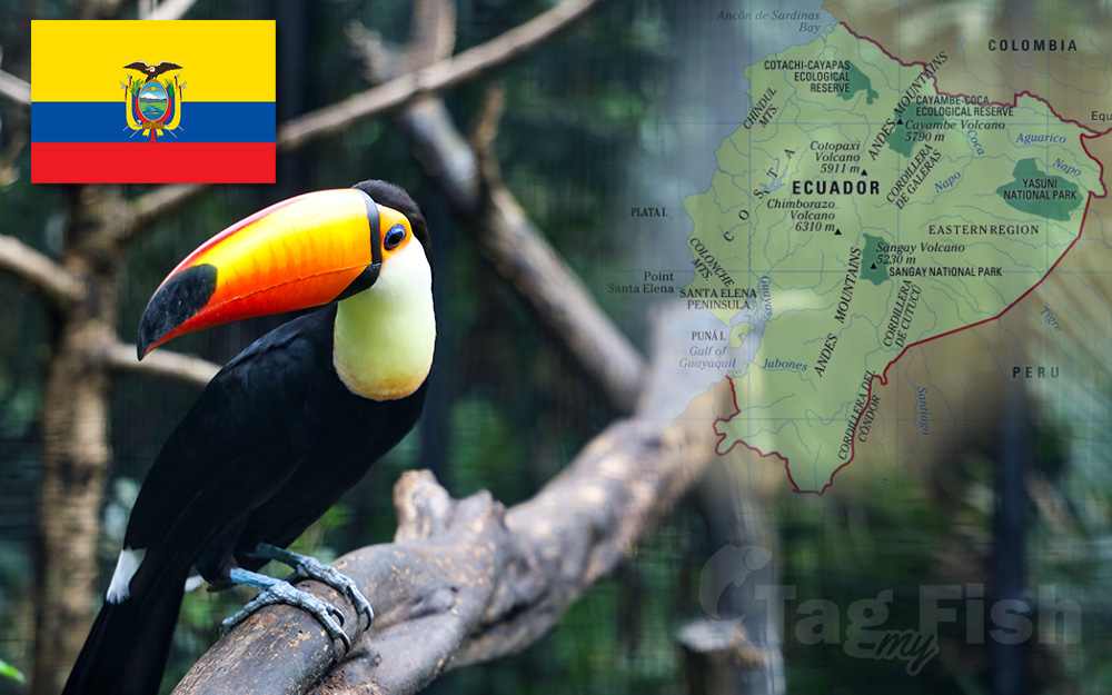
Ecuador
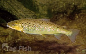
Salmoniformes - Salmons and Trouts
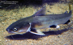
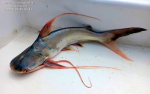
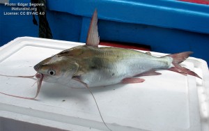
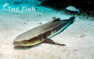
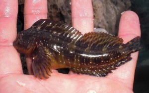
Siluriformes - Catfishes
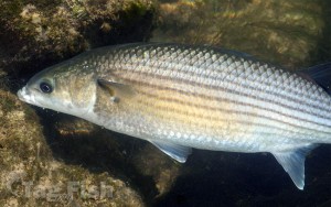
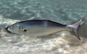
Mugiliformes - Mullets
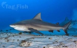
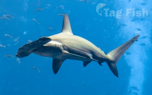
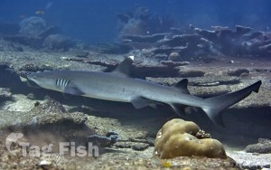
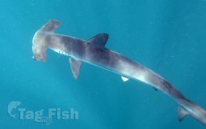
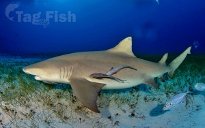
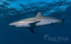
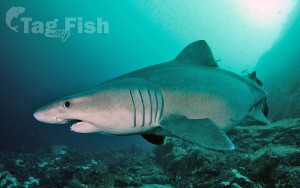
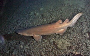
Carcharhiniformes - Ground sharks
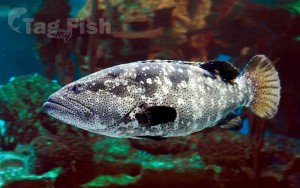
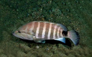
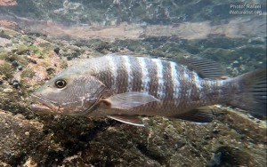
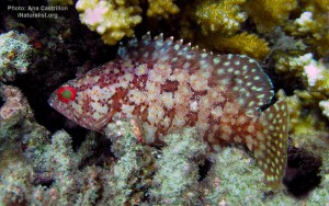
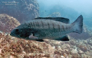
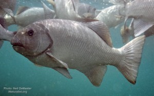
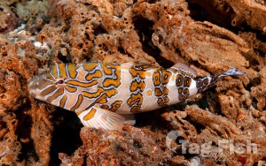
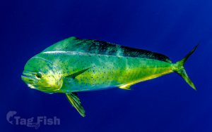
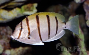
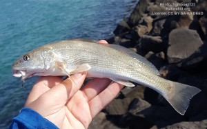
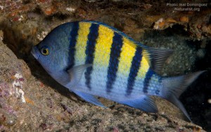
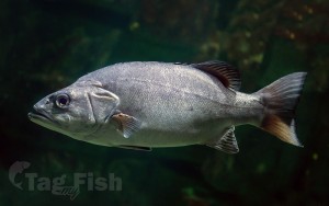
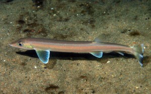
Perciformes - Perches
Siluriformes - Catfishes
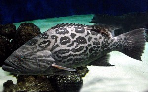
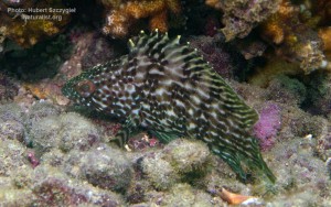
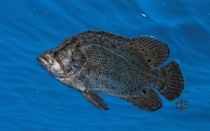
Centrarchiformes - Basses and sunfishes
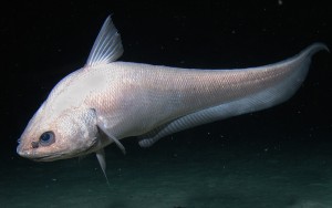
Gadiformes - Cods
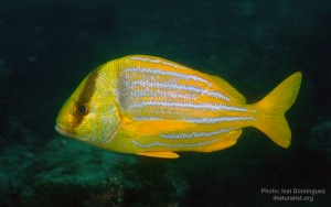
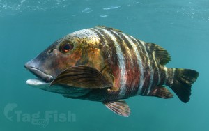
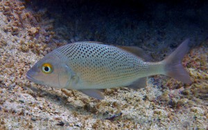
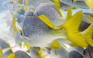
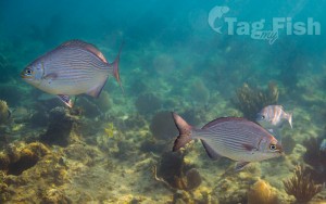
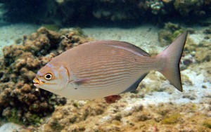
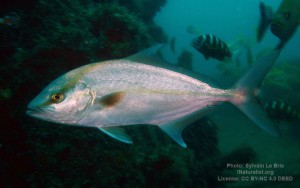
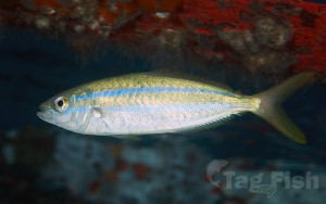
Spariformes - Breams and porgies
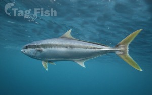
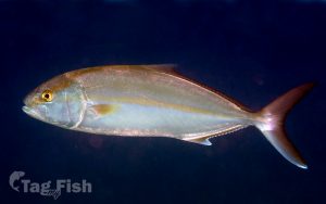
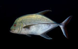
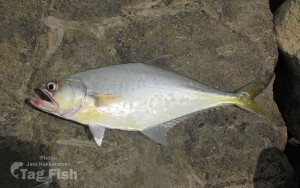
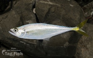
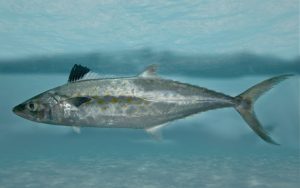
Carangiformes - Jacks
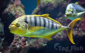
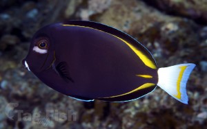
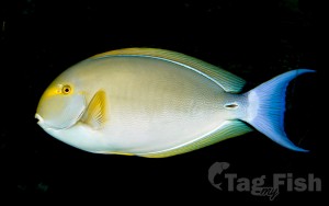
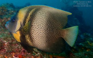
Acanthuriformes - Surgeonfishes
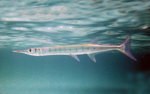
Beloniformes - Needlefishes
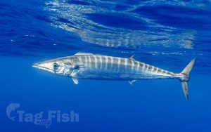
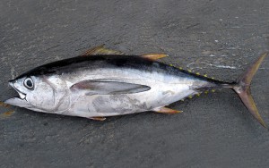
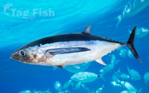
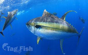
Scombriformes - Mackerels
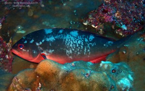
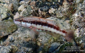
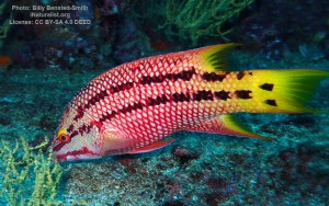
Labriformes - Wrasses
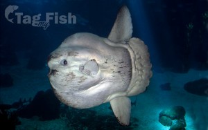
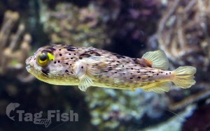
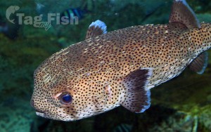
Tetraodontiformes - Puffers and filefishes

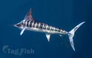
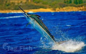
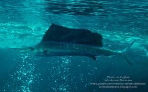
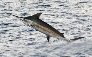
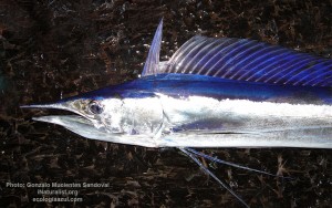
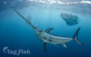
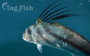
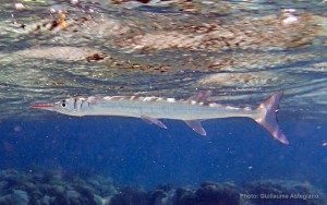
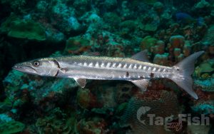
Istiophoriformes - Barracudas
Mugiliformes - Mullets
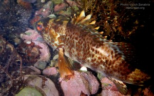
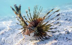
Scorpaeniformes - Mail-cheeked fishes
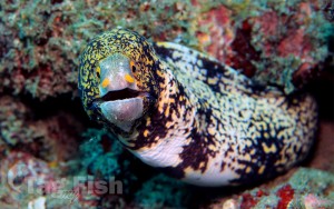
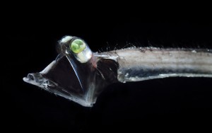
Anguilliformes - Eels and morays
Blenniiformes - Blennies
Acropomatiformes - Oceanic basses
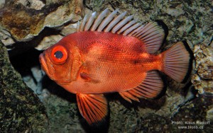
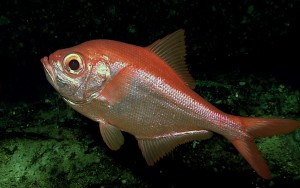
Beryciformes - Sawbellies
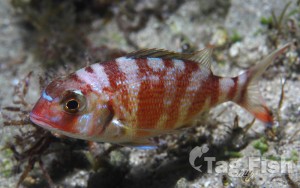
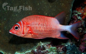
Holocentriformes - Squirrelfishes
Lampriformes - Lamprids
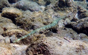
Syngnathiformes - Pipefishes and Seahorses
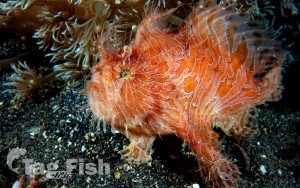
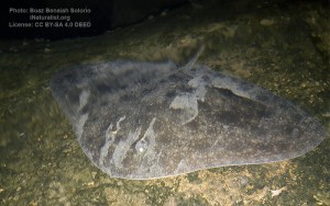
Lophiiformes - Anglerfishes
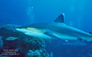
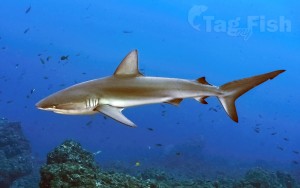
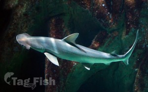
Carcharhiniformes - Ground sharks
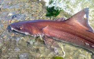
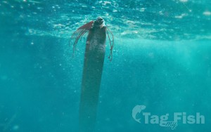
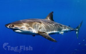
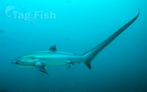
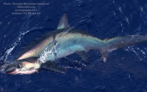
Lamniformes - Mackerel sharks
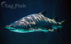
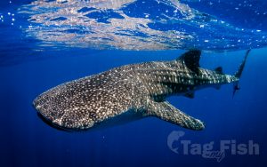
Orectolobiformes - Carpet shark
Echinorhiniformes - Bramble sharks
Gonorynchiformes - Milkfishes
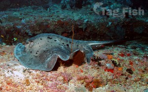
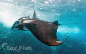
Myliobatiformes - Stingrays
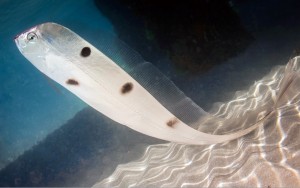
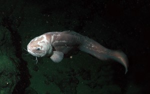
Ophidiiformes - Cusk-eels

Stylephoriformes - Tube-eyes
Ecuador, officially the Republic of Ecuador, is a country in northwestern South America, bordered by Colombia on the north, Peru on the east and south, and the Pacific Ocean on the west. Ecuador also includes the Galápagos Islands in the Pacific, about 1,000 kilometers (621 mi) west of the mainland. The capital and largest city is Quito.
The territories of modern-day Ecuador were once home to a variety of Indigenous groups that were gradually incorporated into the Inca Empire during the 15th century. The territory was colonized by Spain during the 16th century, achieving independence in 1820 as part of Gran Colombia, from which it emerged as its own sovereign state in 1830.
Ecuador lies between latitudes 2°N and 5°S, bounded on the west by the Pacific Ocean, and has 2,337 km (1,452 mi) of coastline. It has 2,010 km (1,250 mi) of land boundaries, with Colombia in the north (with a 590 km (367 mi) border) and Peru in the east and south (with a 1,420 km (882 mi) border). It is the westernmost country that lies on the equator.
The country has four main geographic regions:
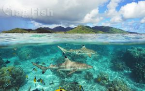
La Costa, or the coast: The coastal region consists of the provinces to the west of the Andean range – Esmeraldas, Guayas, Los Ríos, Manabí, El Oro, Santo Domingo de los Tsachilas and Santa Elena. It is the country’s most fertile and productive land, and is the seat of the large banana exportation plantations of the companies Dole and Chiquita. This region is also where most of Ecuador’s rice crop is grown.
The truly coastal provinces have active fisheries.
The largest coastal city is Guayaquil.
La Sierra, or the highlands: The sierra consists of the Andean and Interandean highland provinces – Azuay, Cañar, Carchi, Chimborazo, Imbabura, Loja, Pichincha, Bolívar, Cotopaxi and Tungurahua. This land contains most of Ecuador’s volcanoes and all of its snow-capped peaks. Agriculture is focused on the traditional crops of potato, maize, and quinua and the population is predominantly Amerindian Kichua. The largest Sierran city is Quito.
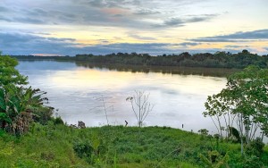
La Amazonía, also known as El Oriente, or the east: The oriente consists of the Amazon jungle provinces – Morona Santiago, Napo, Orellana, Pastaza, Sucumbíos, and Zamora-Chinchipe. This region is primarily made up of the huge Amazon national parks and Amerindian untouchable zones, which are vast stretches of land set aside for the Amazon Amerindian tribes to continue living traditionally. It is also the area with the largest reserves of petroleum in Ecuador, and parts of the upper Amazon here have been extensively exploited by petroleum companies. The population is primarily mixed Amerindian Shuar, Huaorani and Kichua, although there are numerous tribes in the deep jungle which are little-contacted. The largest city in the Oriente is probably Lago Agrio in Sucumbíos, although Macas in Morona Santiago runs a close second.
La Región Insular is the region comprising the Galápagos Islands, some 1,000 kilometers (620 mi) west of the mainland in the Pacific Ocean.
Hydrology
The Andes is the watershed divisor between the Amazon watershed, which runs to the east, and the Pacific, including the north–south rivers Mataje, Santiago, Esmeraldas, Chone, Guayas, Jubones, and Puyango-Tumbes.
Almost all of the rivers in Ecuador form in the Sierra region and flow east toward the Amazon River or west toward the Pacific Ocean. The rivers rise from snowmelt at the edges of the snowcapped peaks or from the abundant precipitation that falls at higher elevations. In the Sierra region, the streams and rivers are narrow and flow rapidly over precipitous slopes. Rivers may slow and widen as they cross the hoyas yet become rapid again as they flow from the heights of the Andes to the lower elevations of the other regions. The highland rivers broaden as they enter the more level areas of the Costa and the Oriente.
In the Costa, the external coast has mostly intermittent rivers that are fed by constant rains from December through May and become empty riverbeds during the dry season. The few exceptions are the longer, perennial rivers that flow throughout the external coast from the internal coast and La Sierra on their way to the Pacific Ocean. The internal coast, by contrast, is crossed by perennial rivers that may flood during the rainy season, sometimes forming swamps.
Major rivers in the Oriente include the Pastaza, Napo, and Putumayo.
The Pastaza is formed by the confluence of the Chambo and the Patate rivers, both of which rise in the Sierra. The Pastaza includes the Agoyan waterfall, which at sixty-one meters (200 feet) is the highest waterfall in Ecuador.
The Napo rises near Mount Cotopaxi and is the major river used for transport in the eastern lowlands. The Napo ranges in width from 500 to 1,800 m (1,640 to 5,906 ft). In its upper reaches, the Napo flows rapidly until the confluence with one of its major tributaries, the Coca River, where it slows and levels off.
The Putumayo forms part of the border with Colombia. All of these rivers flow into the Amazon River. The Galápagos Islands have no significant rivers. Several of the larger islands, however, have freshwater springs, although they are surrounded by the Pacific Ocean.
